Cold Springs/Upper Dry Valley #5206
Total Miles
2.1
Technical Rating
Best Time
Summer, Fall
Trail Type
50" Trail
Accessible By
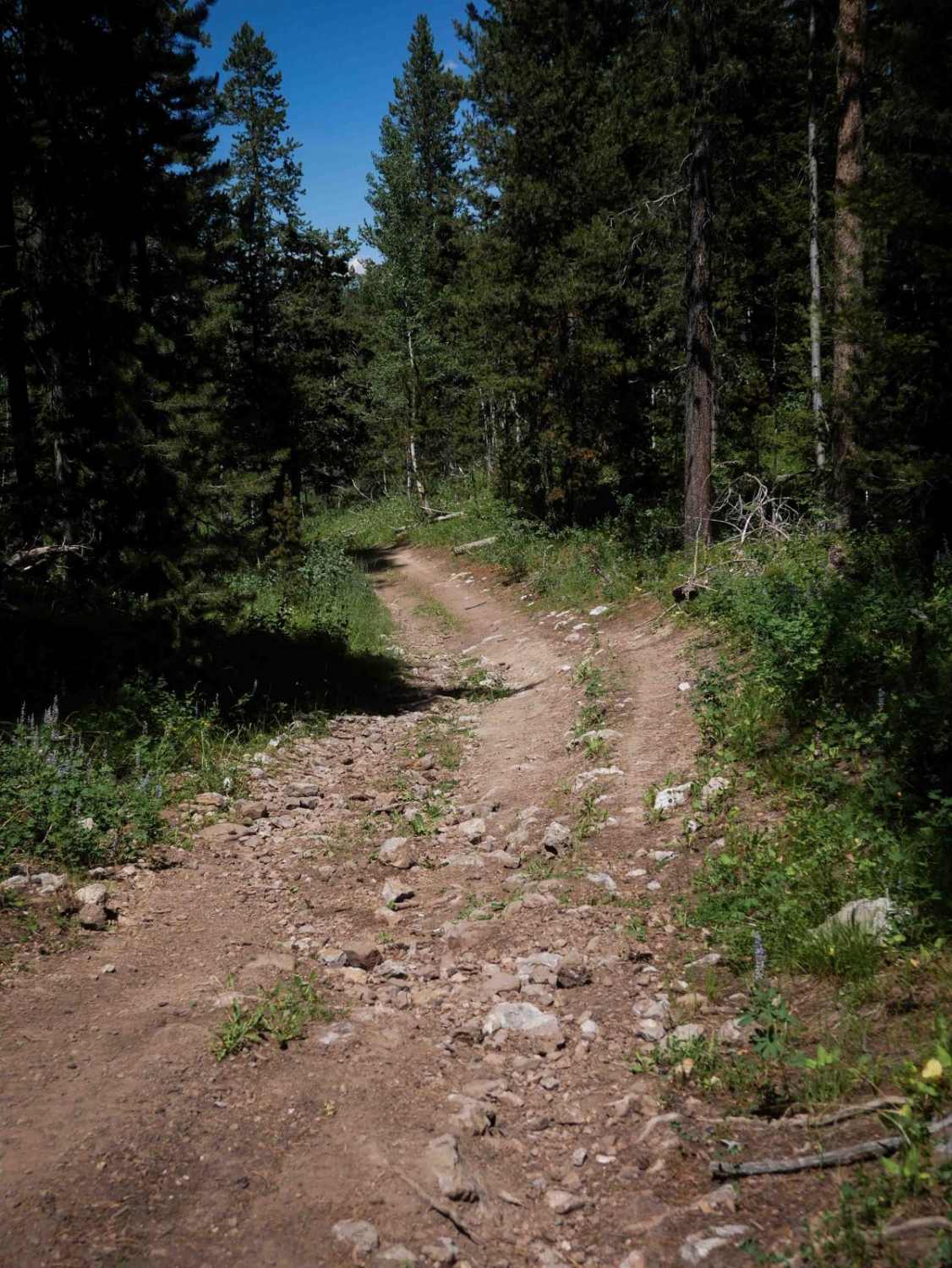
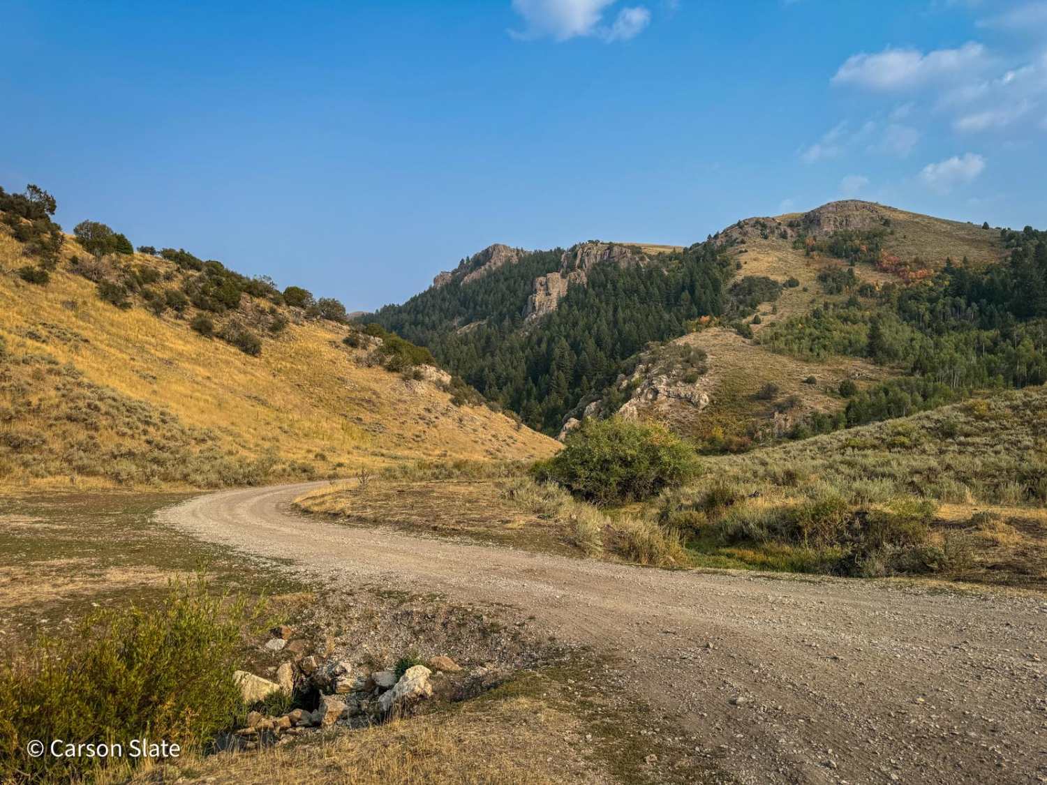
Trail Overview
This is an easy 2.1-mile-long ATV route that gradually winds north through a pine forest and into an open valley. The path features small loose rocks, embedded rocks, shallow ruts, and uneven ground, with a grassy strip down the center of the two-track. The trail is gentle and meandering, with wide, gradual curves and the possibility of downed logs along the way. It crosses a cattle grate before entering a broad valley that was once used for mining, located near a decommissioned railway. Though it takes you north away from the main ATV trail network accessed from Slug Creek Road, it can be ridden as an out-and-back or connected into a longer loop by using the Forest Service roads through Dry Valley to connect back to Slug Creek Road.
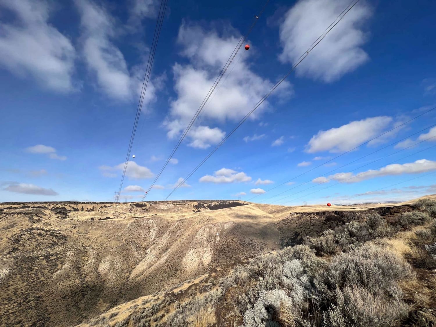
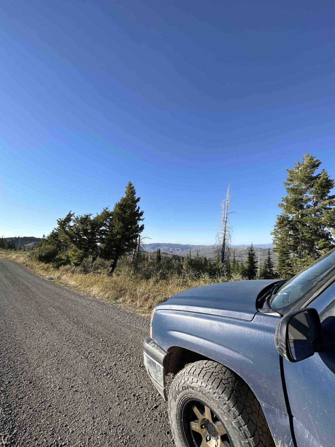
Photos of Cold Springs/Upper Dry Valley #5206

Difficulty
This is an easy trail due to its mild gradient, sparse obstacles, and wide path. The terrain remains low difficulty throughout, ideal for riders of all skill levels.
Status Reports
Cold Springs/Upper Dry Valley #5206 can be accessed by the following ride types:
- ATV (50")
- Dirt Bike
Cold Springs/Upper Dry Valley #5206 Map
Popular Trails
Glenn's Grassy Ascent

Goodheart Springs Alt #3566A
Skyline Ridge - Brockman FS 40075
The onX Offroad Difference
onX Offroad combines trail photos, descriptions, difficulty ratings, width restrictions, seasonality, and more in a user-friendly interface. Available on all devices, with offline access and full compatibility with CarPlay and Android Auto. Discover what you’re missing today!