Cottontail Point Road
Total Miles
5.5
Technical Rating
Best Time
Summer, Fall
Trail Type
Full-Width Road
Accessible By
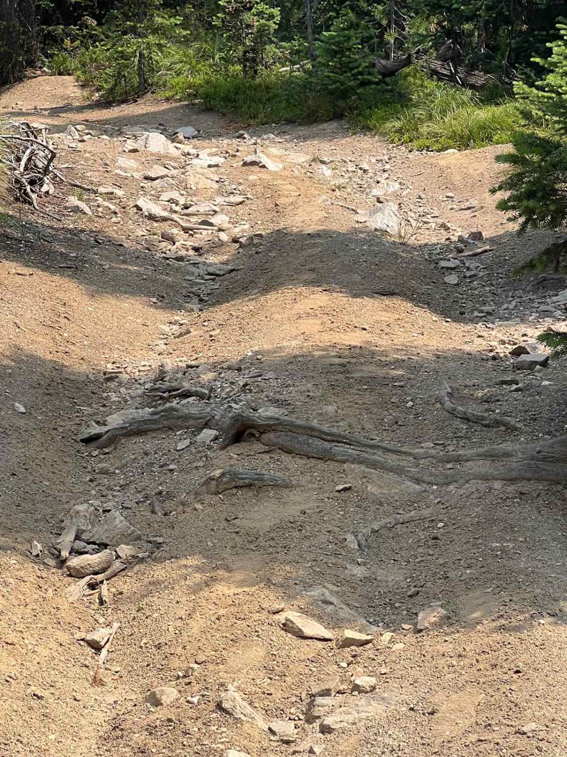
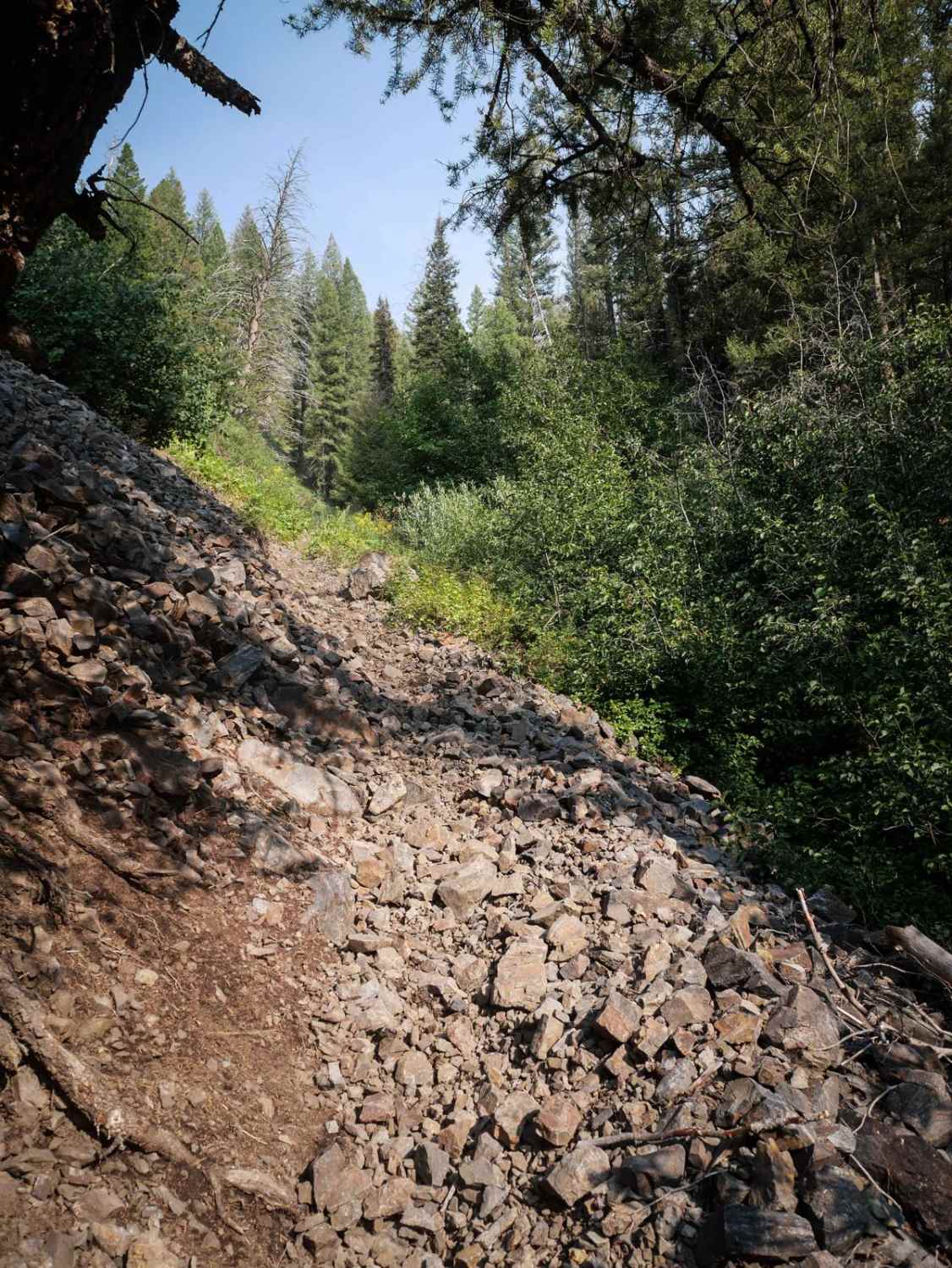
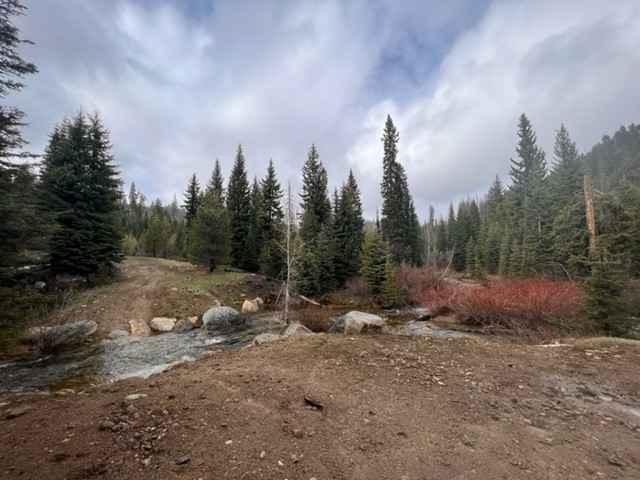
Trail Overview
This is a spur dirt trail that's close to the War Eagle Mountain Lookout Tower. This road takes you up to a pretty neat old cabin. Once you pass the old cabin, you can continue going up to the top where it dead ends with some nice views. This is an easy out and back trail. Please respect the old cabin and leave it as you found it.
Photos of Cottontail Point Road

Difficulty
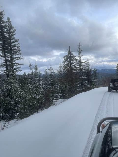
This road is great in the summer and fall months, but in winter it's impassable due to snow.
Status Reports
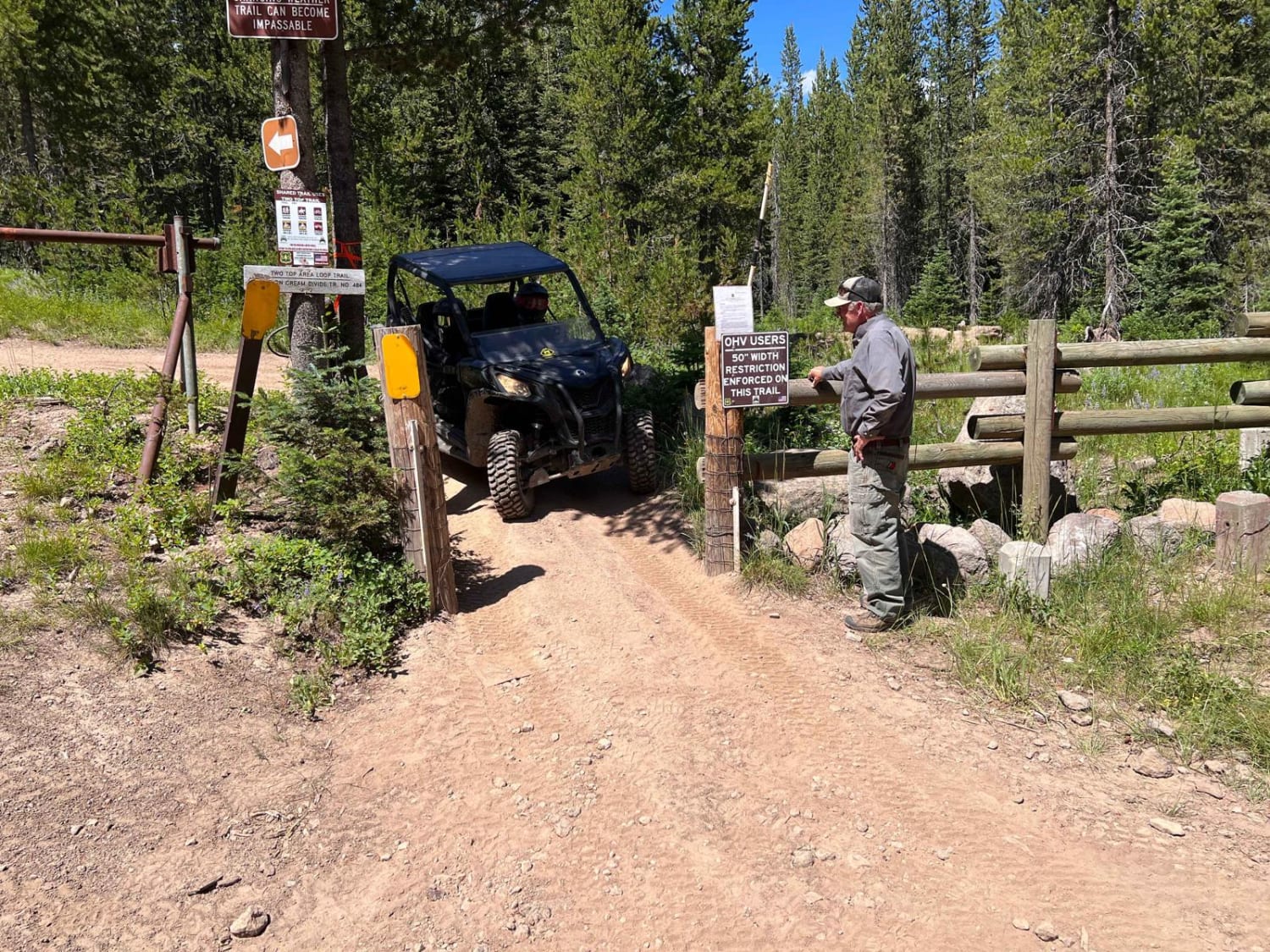
Cottontail Point Road can be accessed by the following ride types:
- High-Clearance 4x4
- SUV
Cottontail Point Road Map
Popular Trails
Slab Pile Road (1727)
Full Creek Crossing
Wolf Lodge 202
The onX Offroad Difference
onX Offroad combines trail photos, descriptions, difficulty ratings, width restrictions, seasonality, and more in a user-friendly interface. Available on all devices, with offline access and full compatibility with CarPlay and Android Auto. Discover what you’re missing today!