Off-Road Trails in Idaho
Discover off-road trails in Idaho
Learn more about Dam Creek Divide ATV 
Dam Creek Divide ATV
Total Miles
3.6
Tech Rating
Easy
Best Time
Fall, Summer, Spring
Learn more about Dam Ridge ATV 
Dam Ridge ATV
Total Miles
3.1
Tech Rating
Moderate
Best Time
Spring, Summer, Fall
Learn more about Dans Creek to Caribou Basin
Dans Creek to Caribou Basin
Total Miles
48.3
Tech Rating
Easy
Best Time
Spring, Fall, Summer
Learn more about Davis Mtn. Loop
Davis Mtn. Loop
Total Miles
37.4
Tech Rating
Easy
Best Time
Spring, Summer, Fall
Learn more about Dead Horse and Tea Kettle Caves with Connector
Dead Horse and Tea Kettle Caves with Connector
Total Miles
9.0
Tech Rating
Easy
Best Time
Spring, Summer, Fall, Winter
Learn more about Deadwood Creek 
Deadwood Creek
Total Miles
5.9
Tech Rating
Difficult
Best Time
Summer, Fall
Learn more about Deception Creek Circle
Deception Creek Circle
Total Miles
4.1
Tech Rating
Easy
Best Time
Fall, Summer, Spring
Learn more about Deep Creek to Ruben Hollow 7440 
Deep Creek to Ruben Hollow 7440
Total Miles
1.7
Tech Rating
Easy
Best Time
Spring, Summer, Fall
Learn more about Deep Creek/White Canyon 
Deep Creek/White Canyon
Total Miles
2.8
Tech Rating
Easy
Best Time
Spring, Fall, Summer
Learn more about Deer Creek 
Deer Creek
Total Miles
5.4
Tech Rating
Moderate
Best Time
Fall, Summer, Spring
Learn more about Deer Creek Dugouts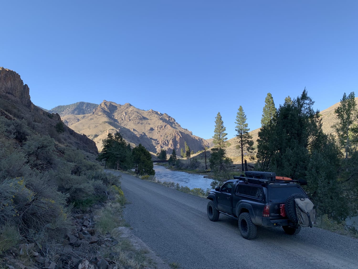
Deer Creek Dugouts
Total Miles
0.7
Tech Rating
Easy
Best Time
Summer, Fall, Spring
ATV trails in Idaho
Learn more about Aspen Range - Middle Sulphur #5248 
Aspen Range - Middle Sulphur #5248
Total Miles
1.9
Tech Rating
Easy
Best Time
Summer, Fall
Learn more about Dry Fork - Meadow Springs #5226 
Dry Fork - Meadow Springs #5226
Total Miles
0.4
Tech Rating
Easy
Best Time
Summer, Fall
Learn more about South Foothill Road
South Foothill Road
Total Miles
8.2
Tech Rating
Moderate
Best Time
Summer, Fall

UTV/side-by-side trails in Idaho
Learn more about South Foothill Road
South Foothill Road
Total Miles
8.2
Tech Rating
Moderate
Best Time
Summer, Fall

Learn more about 21 To Nip & Tuck
21 To Nip & Tuck
Total Miles
1.4
Tech Rating
Easy
Best Time
Fall, Summer, Spring

The onX Offroad Difference
onX Offroad combines trail photos, descriptions, difficulty ratings, width restrictions, seasonality, and more in a user-friendly interface. Available on all devices, with offline access and full compatibility with CarPlay and Android Auto. Discover what you’re missing today!