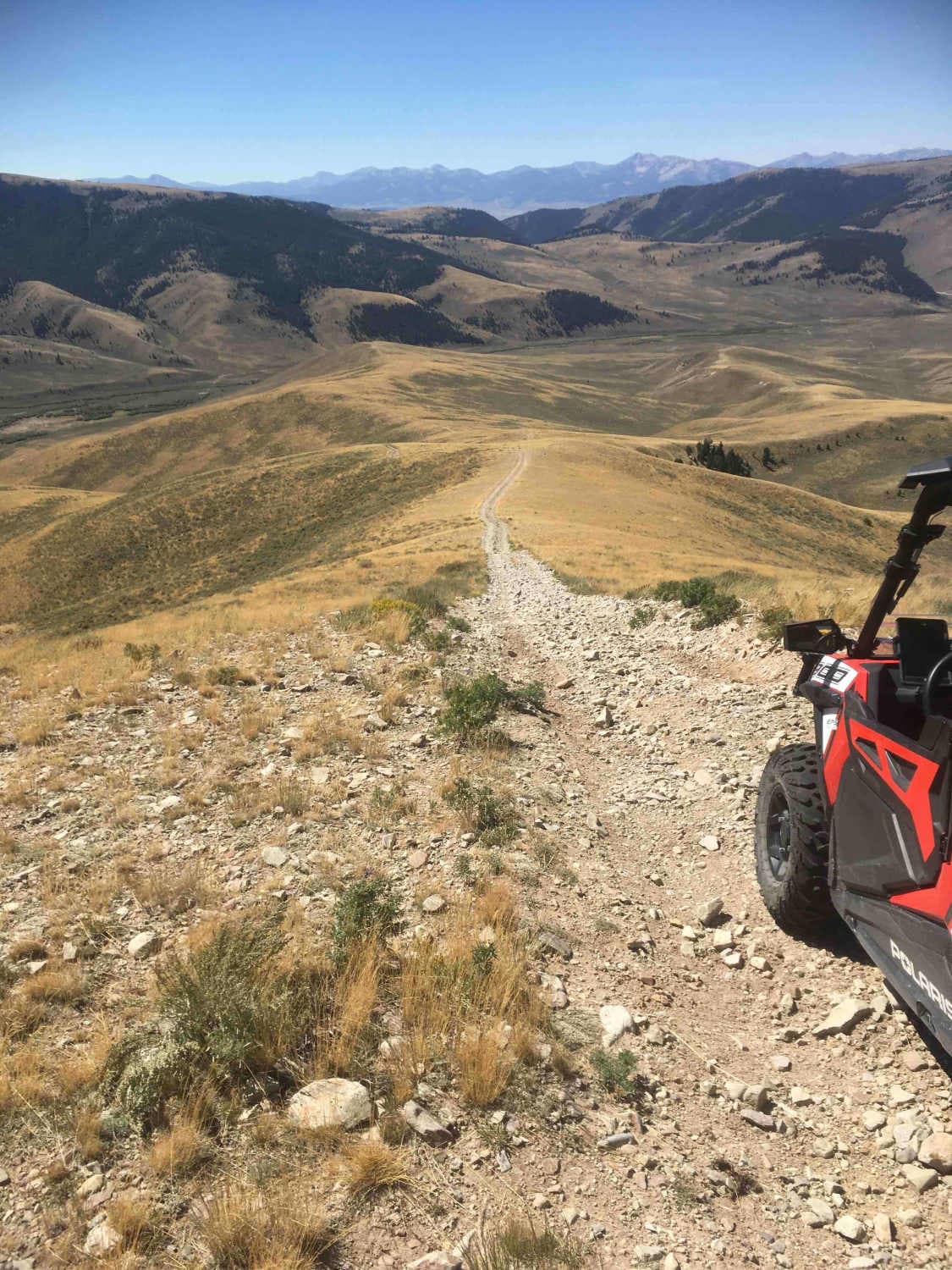
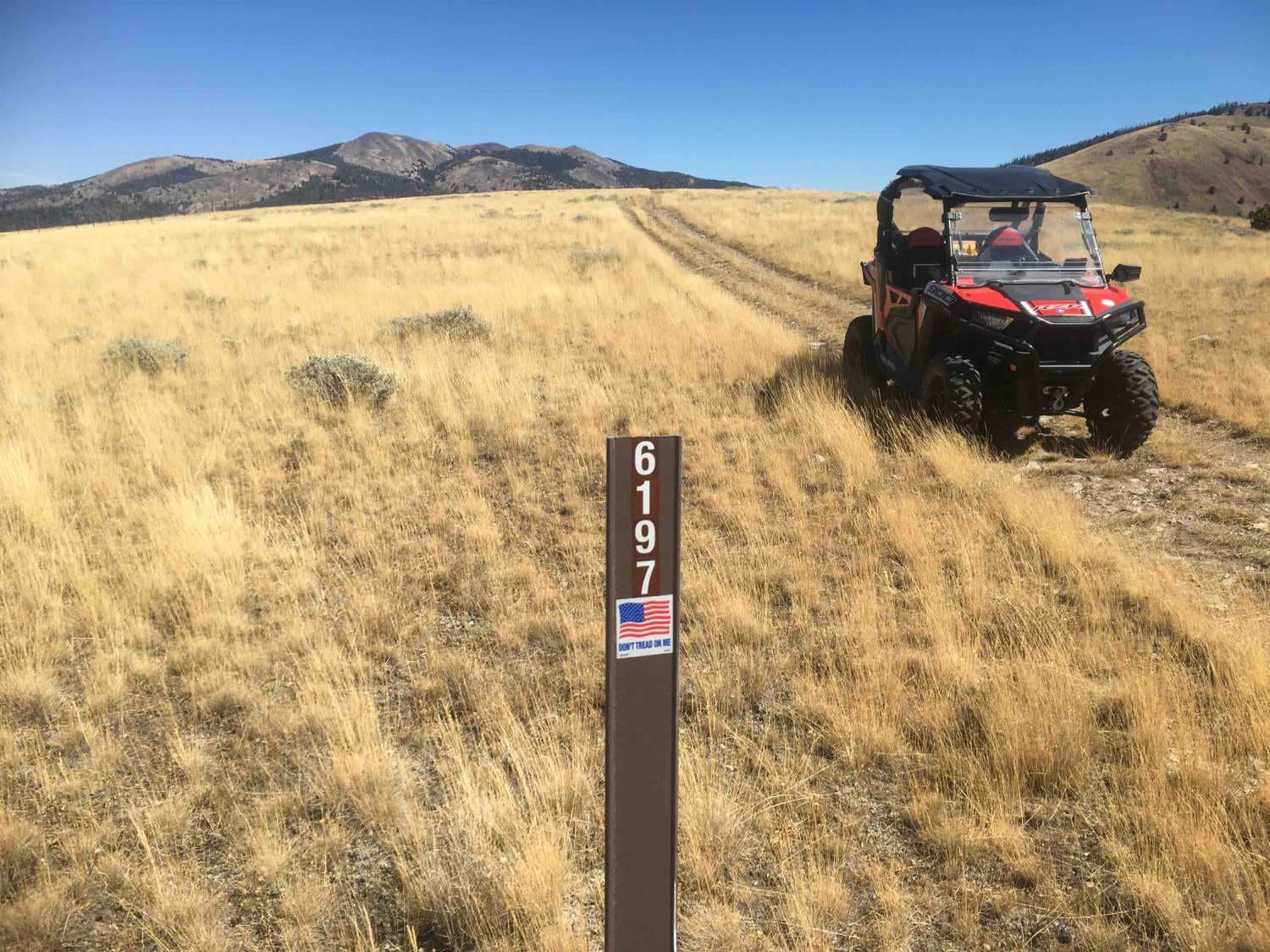
Deadhorse Road
Total Miles
4.0
Technical Rating
Best Time
Summer, Fall
Trail Type
Full-Width Road
Accessible By
Trail Overview
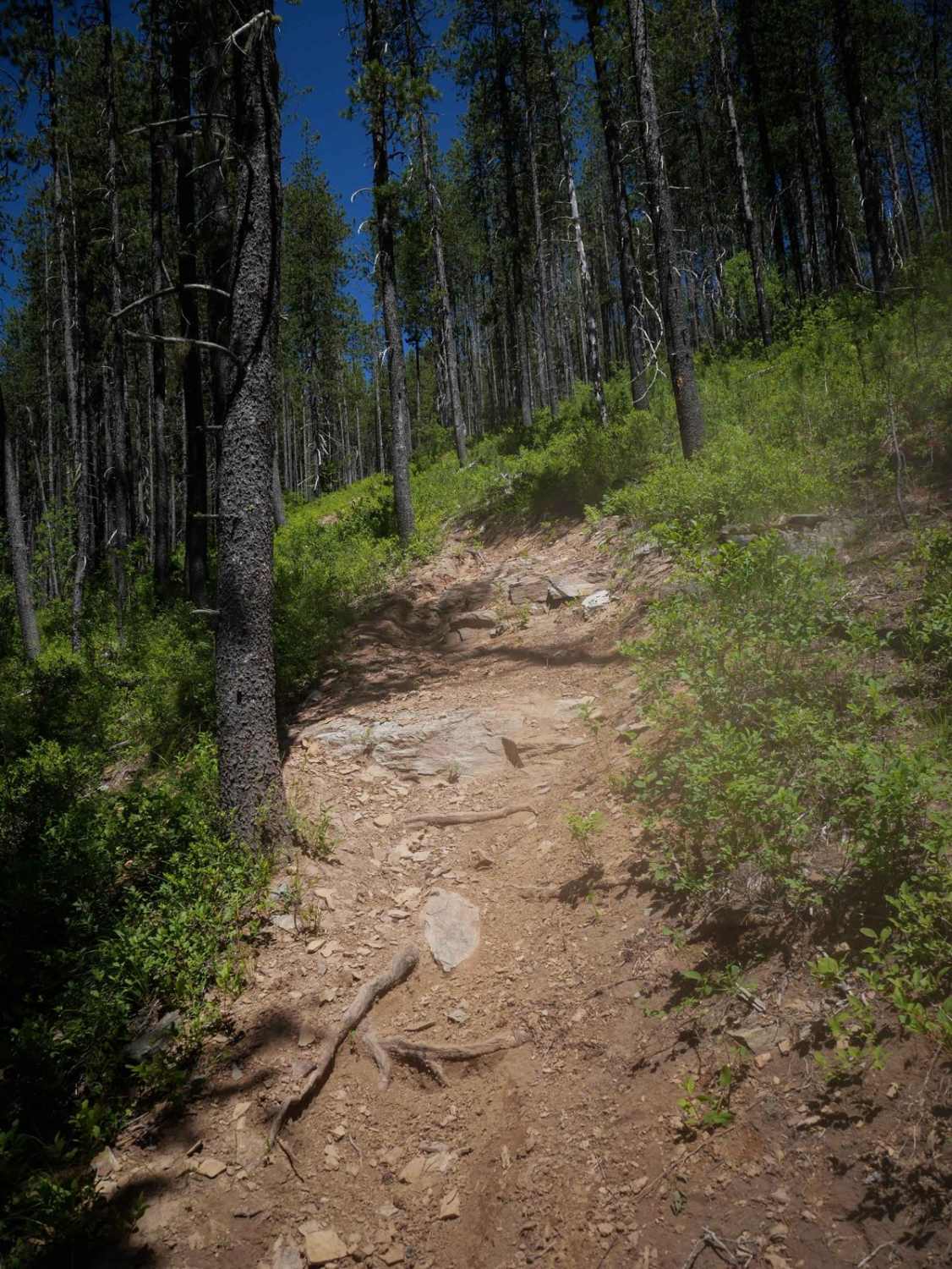
This is a BLM road marked as Road 6197. The road traverses hilly open grasslands from the Continental Divide to the Cruikshank Creek drainage. The road intersects Road 6111 to the northwest at the Continental Divide. There are some side roads that look interesting for exploration opportunities.
Photos of Deadhorse Road
Difficulty
There are a few rocky grades to negotiate but they are short and not terribly steep.
Status Reports
Deadhorse Road can be accessed by the following ride types:
- High-Clearance 4x4
- SUV
- SxS (60")
- ATV (50")
- Dirt Bike
Deadhorse Road Map
Popular Trails
Beason Meadow No. 228 (Part 1)

Bovill - Hemlock Butte
The onX Offroad Difference
onX Offroad combines trail photos, descriptions, difficulty ratings, width restrictions, seasonality, and more in a user-friendly interface. Available on all devices, with offline access and full compatibility with CarPlay and Android Auto. Discover what you’re missing today!