Davis Canyon
Total Miles
1.6
Technical Rating
Best Time
Summer, Fall
Trail Type
Single Track
Accessible By
Trail Overview
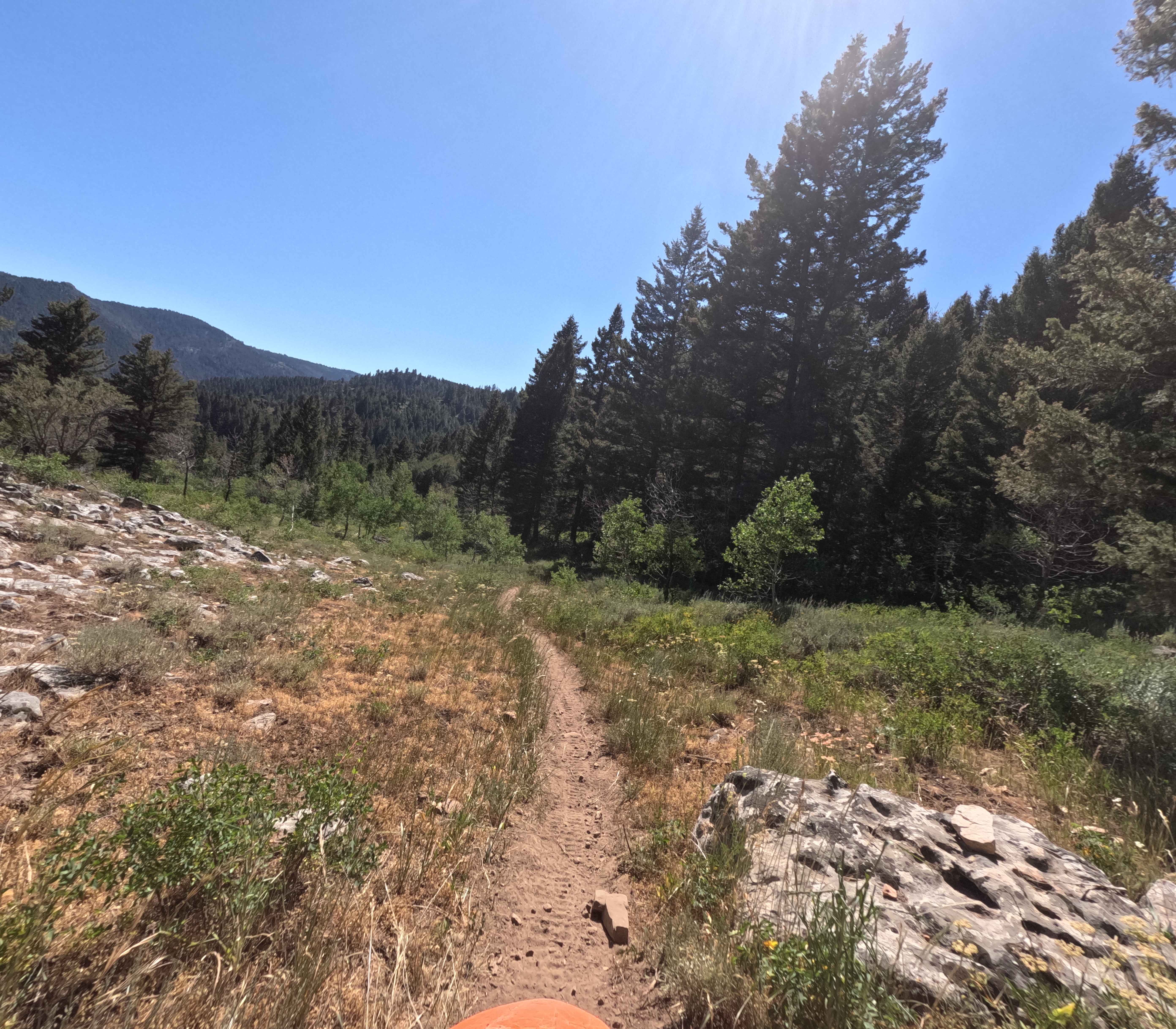
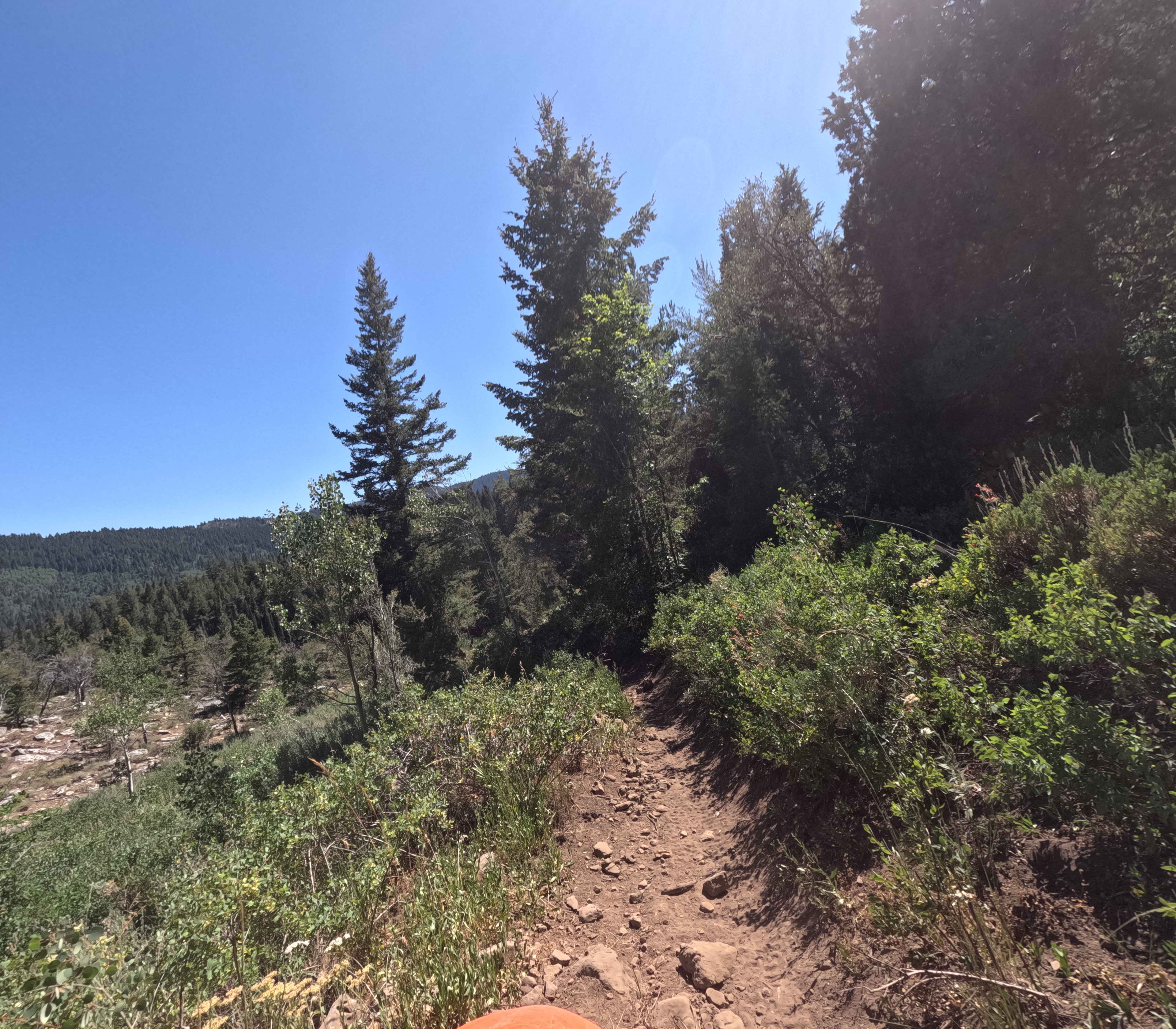
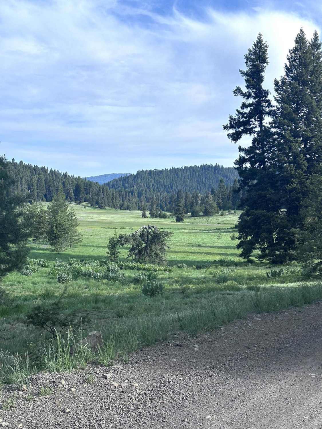
Davis Canyon (Trail 3314) is a 1.6-mile-long trail in the Bear River Range. It connects Forest Service Road 3337 to St Charles Road (paved). When ridden North to South, you drop almost 1,000 feet. The route is mostly wooded, and any open areas have some plant overgrowth. The ground surface is packed dirt, and there are few rocks compared to other trails in the area. This trail features one very large rock wall at the midpoint. It's 5 or 6 feet tall with a short bypass. The bypass has multiple embedded boulders and is almost as hard as the main line. The rest of the track is easy going without any major obstacles.
Photos of Davis Canyon
Difficulty
This trail is mostly easy going, but one large 5-6 foot rock ledge raises the rating. There is a rocky, eroded bypass around this.
Status Reports
Davis Canyon can be accessed by the following ride types:
- Dirt Bike
Davis Canyon Map
Popular Trails
Salmon Creek T4800
Scout Mountain

Fanny's Hole ATV
Brundage Mountain
The onX Offroad Difference
onX Offroad combines trail photos, descriptions, difficulty ratings, width restrictions, seasonality, and more in a user-friendly interface. Available on all devices, with offline access and full compatibility with CarPlay and Android Auto. Discover what you’re missing today!