Brundage Mountain
Total Miles
11.2
Technical Rating
Best Time
Summer, Fall
Trail Type
Full-Width Road
Accessible By
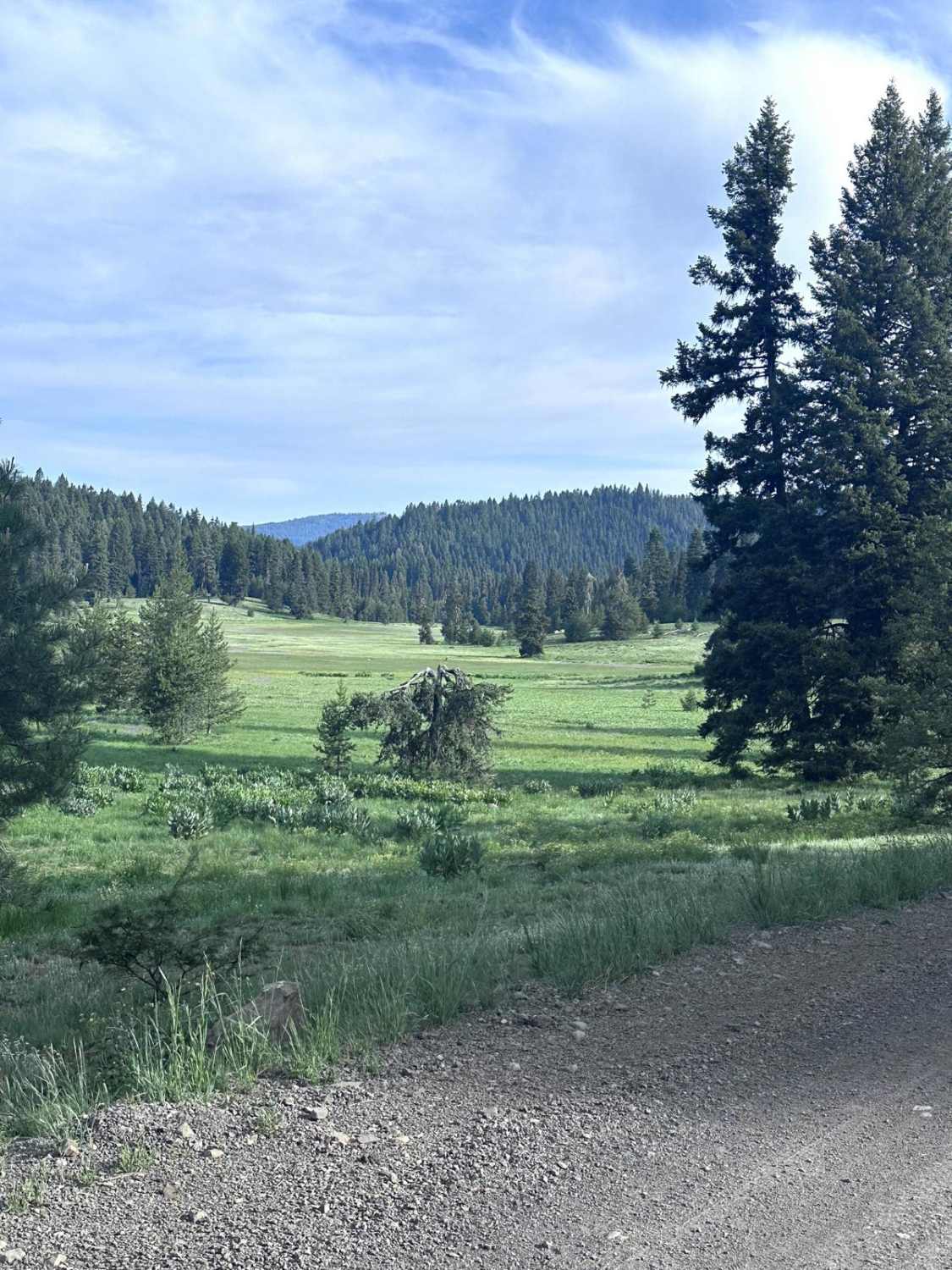
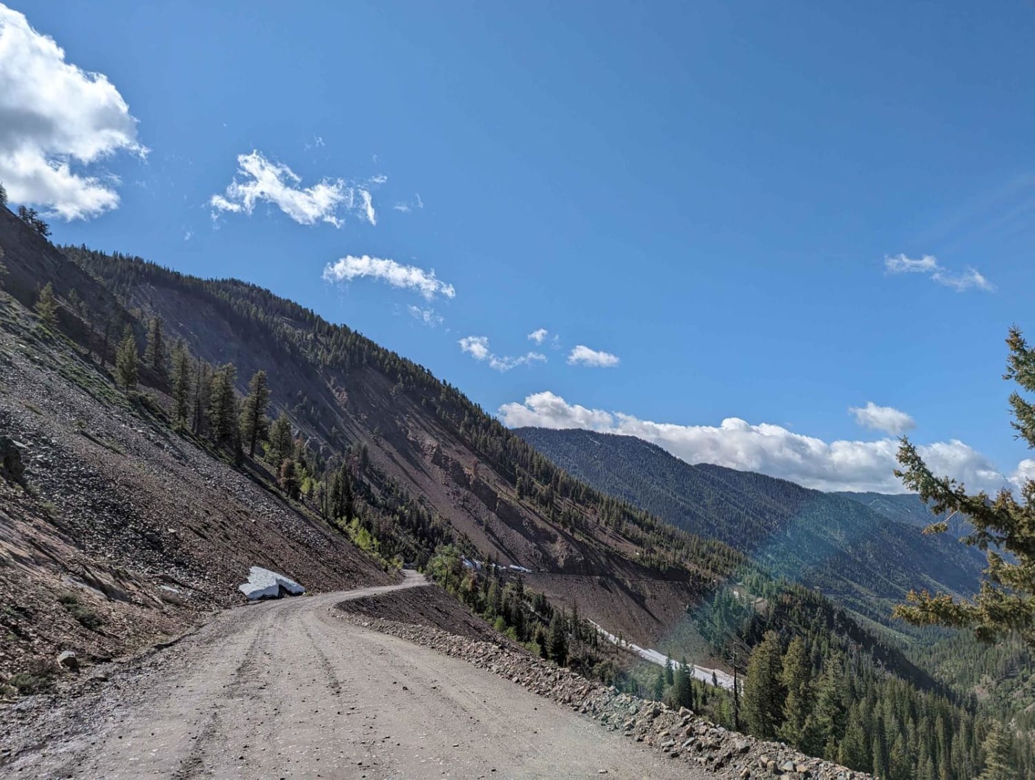
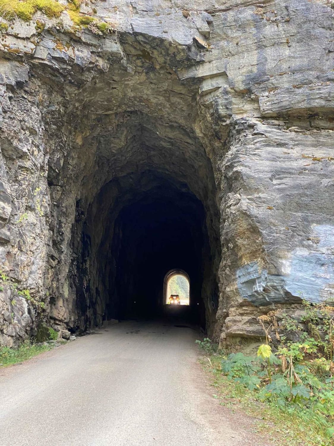
Trail Overview
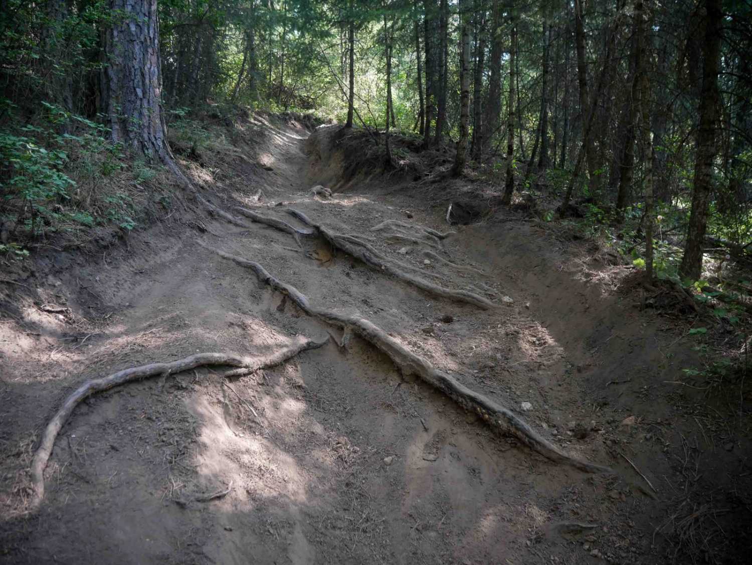
Brundage Mountain trail is an 11.2-mile point-to-point trail that traverses the east slope of Brundage Mountain and ends at Brundage Reservoir. While traveling this trail, you will have the opportunity to see several types of wildlife. This is a single vehicle width trail with erosion damage and loose rocks under 12" in depth/height. It is typical to find deep snow banks as late as early July along this trail. If attempting to traverse earlier, recommend multiple vehicles with winches and recovery equipment.
Photos of Brundage Mountain

Difficulty
This is a single vehicle-width trail with turnouts. This trail has erosion damage and loose rocks under 12 inches in depth/height. Deep snow banks, up to 3 feet in height, can be found on this trail if traveled prior to July.
Status Reports
Brundage Mountain can be accessed by the following ride types:
- High-Clearance 4x4
- SUV
- SxS (60")
- ATV (50")
- Dirt Bike
Brundage Mountain Map
Popular Trails
Trail Creek Pass 408/208
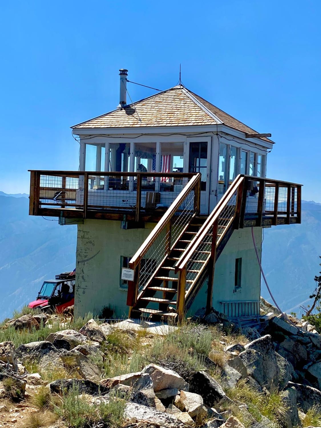
Pilot Peak Lookout Tower
The onX Offroad Difference
onX Offroad combines trail photos, descriptions, difficulty ratings, width restrictions, seasonality, and more in a user-friendly interface. Available on all devices, with offline access and full compatibility with CarPlay and Android Auto. Discover what you’re missing today!