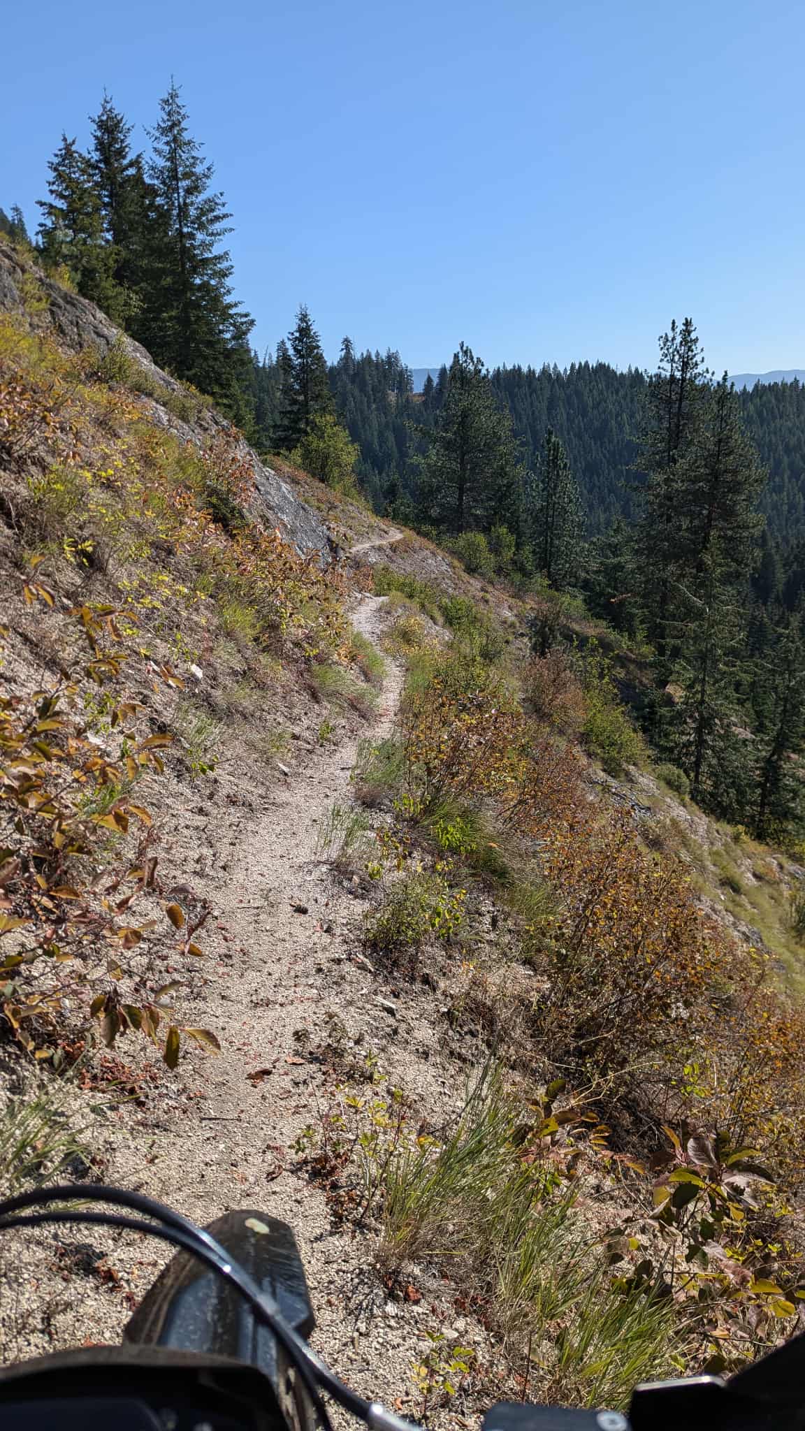
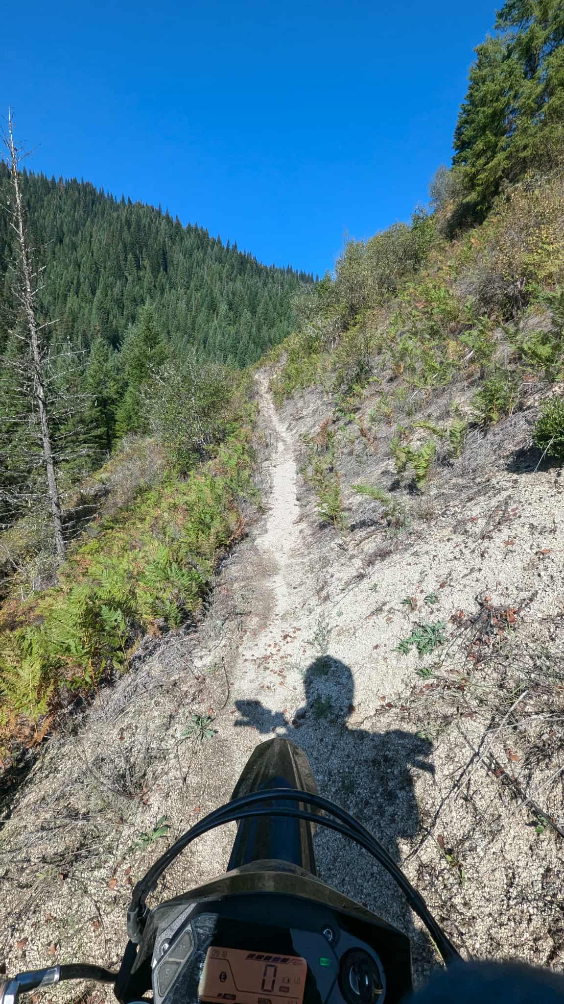
Off-Road Trails in Idaho
Discover off-road trails in Idaho
Learn more about Fish Butte Saddle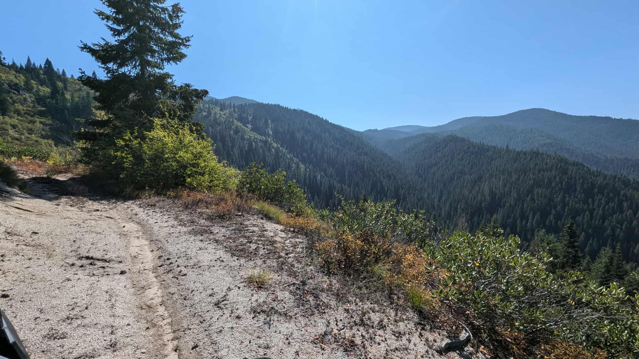
Fish Butte Saddle
Total Miles
3.2
Tech Rating
Easy
Best Time
Fall, Summer
Learn more about Fish Creek Reservoir Access 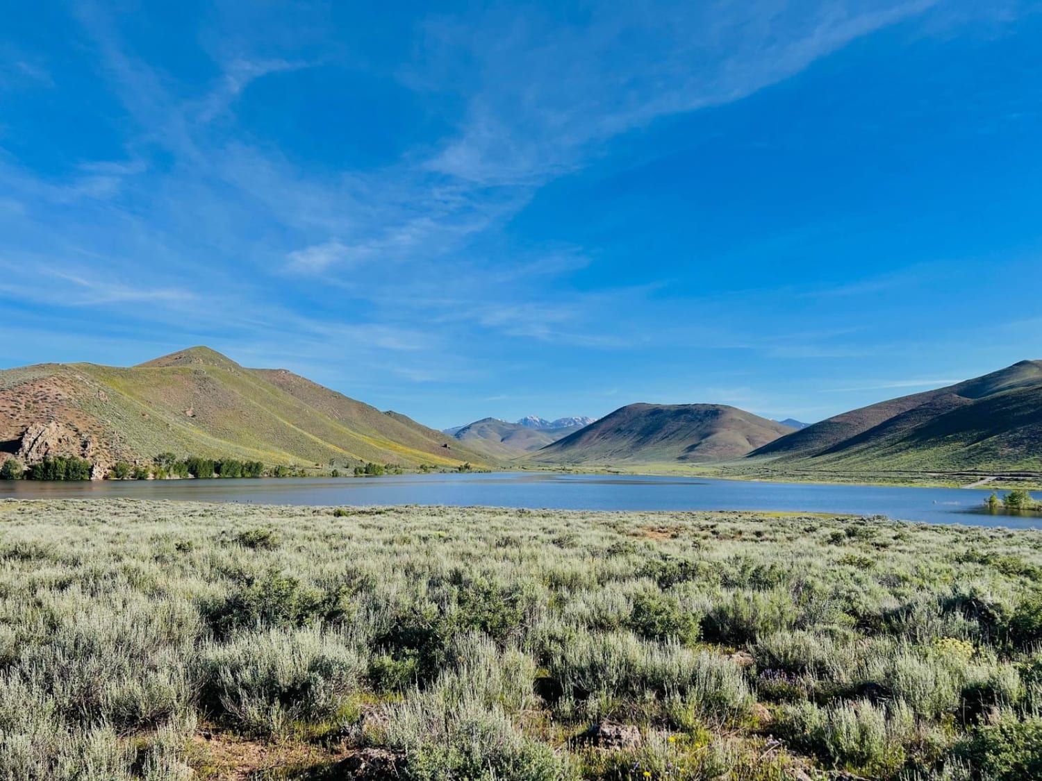
Fish Creek Reservoir Access
Total Miles
4.8
Tech Rating
Easy
Best Time
Spring, Summer
Learn more about Fish Haven Canyon
Fish Haven Canyon
Total Miles
6.3
Tech Rating
Easy
Best Time
Spring, Summer, Fall
Learn more about Fishhook-Gold Center
Fishhook-Gold Center
Total Miles
16.6
Tech Rating
Easy
Best Time
Summer, Fall
Learn more about Five Mile Creek (South)
Five Mile Creek (South)
Total Miles
2.2
Tech Rating
Moderate
Best Time
Summer
Learn more about Flat Rock of Potholes
Flat Rock of Potholes
Total Miles
2.2
Tech Rating
Easy
Best Time
Summer, Fall, Spring
Learn more about Flume Creek ATV 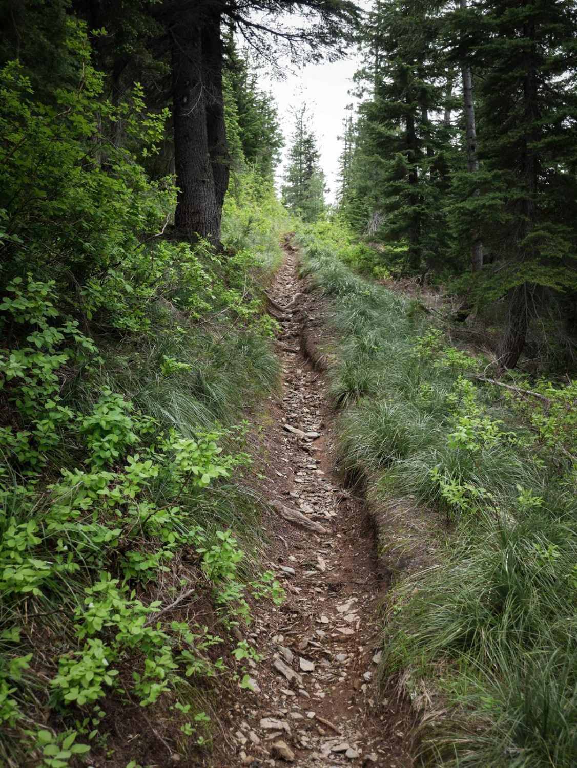
Flume Creek ATV
Total Miles
3.5
Tech Rating
Moderate
Best Time
Fall, Summer
Learn more about Flume Ridge ATV 
Flume Ridge ATV
Total Miles
1.1
Tech Rating
Moderate
Best Time
Fall, Summer
Learn more about Forest Service 767
Forest Service 767
Total Miles
3.7
Tech Rating
Easy
Best Time
Summer, Fall, Spring
Learn more about Forest Service Rd 3320E West
Forest Service Rd 3320E West
Total Miles
3.3
Tech Rating
Easy
Best Time
Summer, Spring, Fall
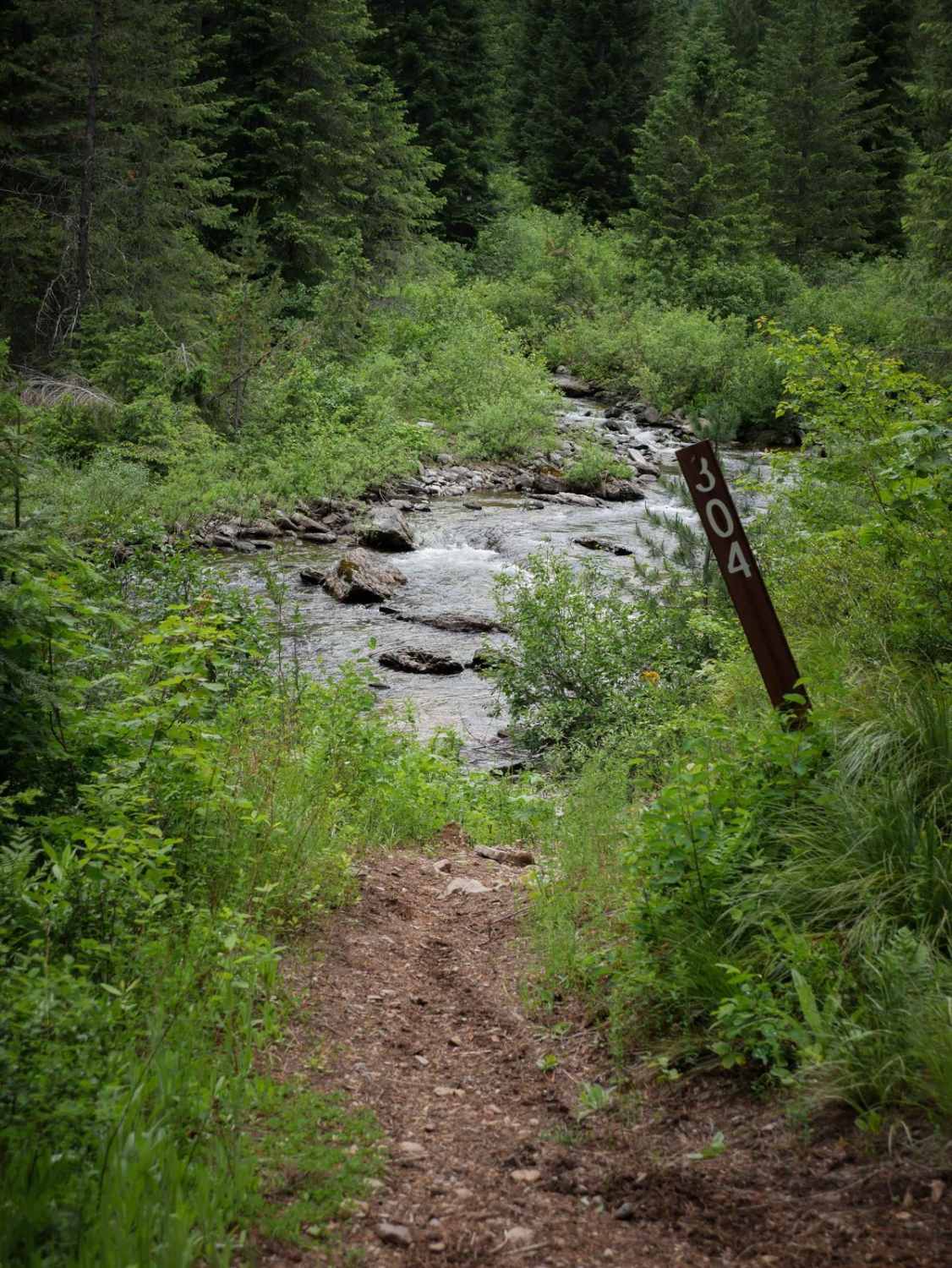
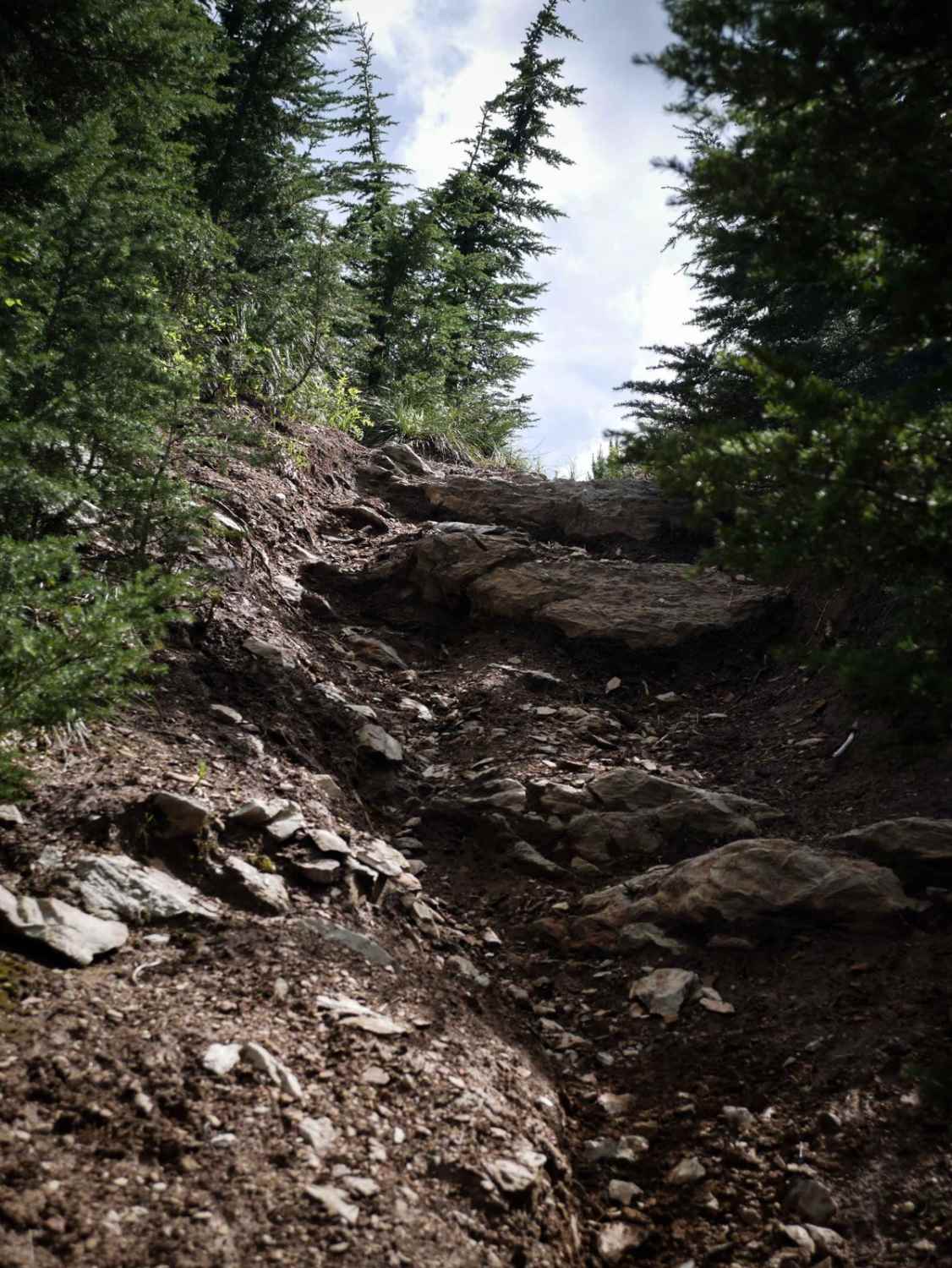
Learn more about Forest Service Road 3306C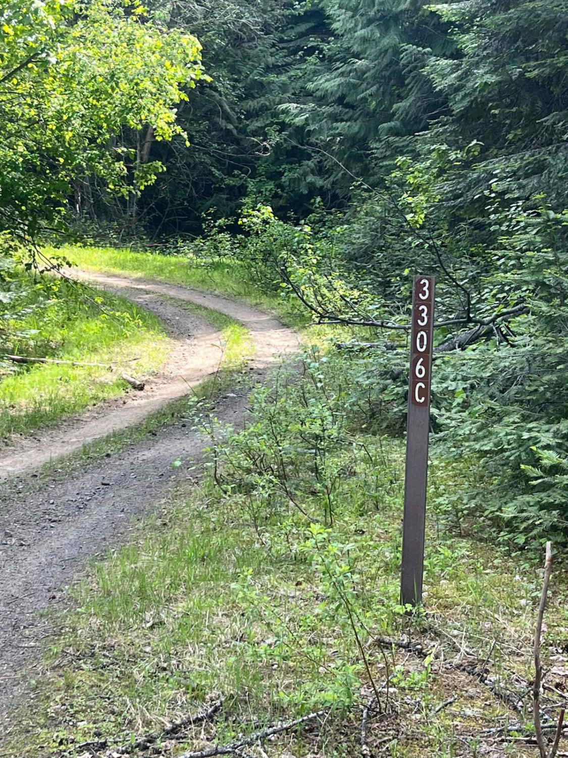
Forest Service Road 3306C
Total Miles
1.5
Tech Rating
Easy
Best Time
Spring, Summer, Fall
Learn more about Forest Service Road 3320E East
Forest Service Road 3320E East
Total Miles
1.8
Tech Rating
Easy
Best Time
Fall, Summer, Spring
Learn more about Forest Service Road 446
Forest Service Road 446
Total Miles
9.6
Tech Rating
Easy
Best Time
Spring, Summer, Fall
ATV trails in Idaho
Learn more about Aspen Range - Middle Sulphur #5248 
Aspen Range - Middle Sulphur #5248
Total Miles
1.9
Tech Rating
Easy
Best Time
Summer, Fall
Learn more about Dry Fork - Meadow Springs #5226 
Dry Fork - Meadow Springs #5226
Total Miles
0.4
Tech Rating
Easy
Best Time
Summer, Fall
Learn more about South Foothill Road
South Foothill Road
Total Miles
8.2
Tech Rating
Moderate
Best Time
Summer, Fall

UTV/side-by-side trails in Idaho
Learn more about South Foothill Road
South Foothill Road
Total Miles
8.2
Tech Rating
Moderate
Best Time
Summer, Fall

Learn more about 21 To Nip & Tuck
21 To Nip & Tuck
Total Miles
1.4
Tech Rating
Easy
Best Time
Fall, Summer, Spring

The onX Offroad Difference
onX Offroad combines trail photos, descriptions, difficulty ratings, width restrictions, seasonality, and more in a user-friendly interface. Available on all devices, with offline access and full compatibility with CarPlay and Android Auto. Discover what you’re missing today!