Foss Mountain
Total Miles
6.2
Technical Rating
Best Time
Summer, Fall
Trail Type
High-Clearance 4x4 Trail
Accessible By
Trail Overview
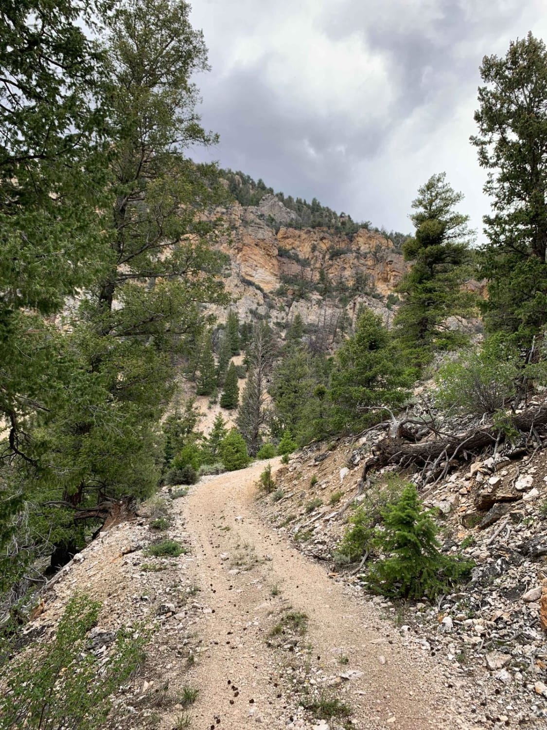
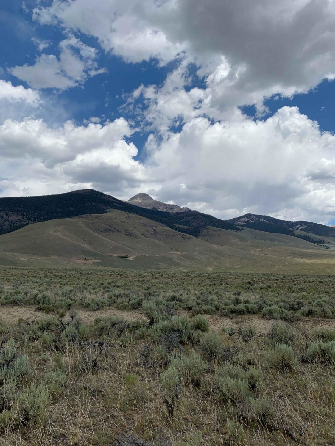
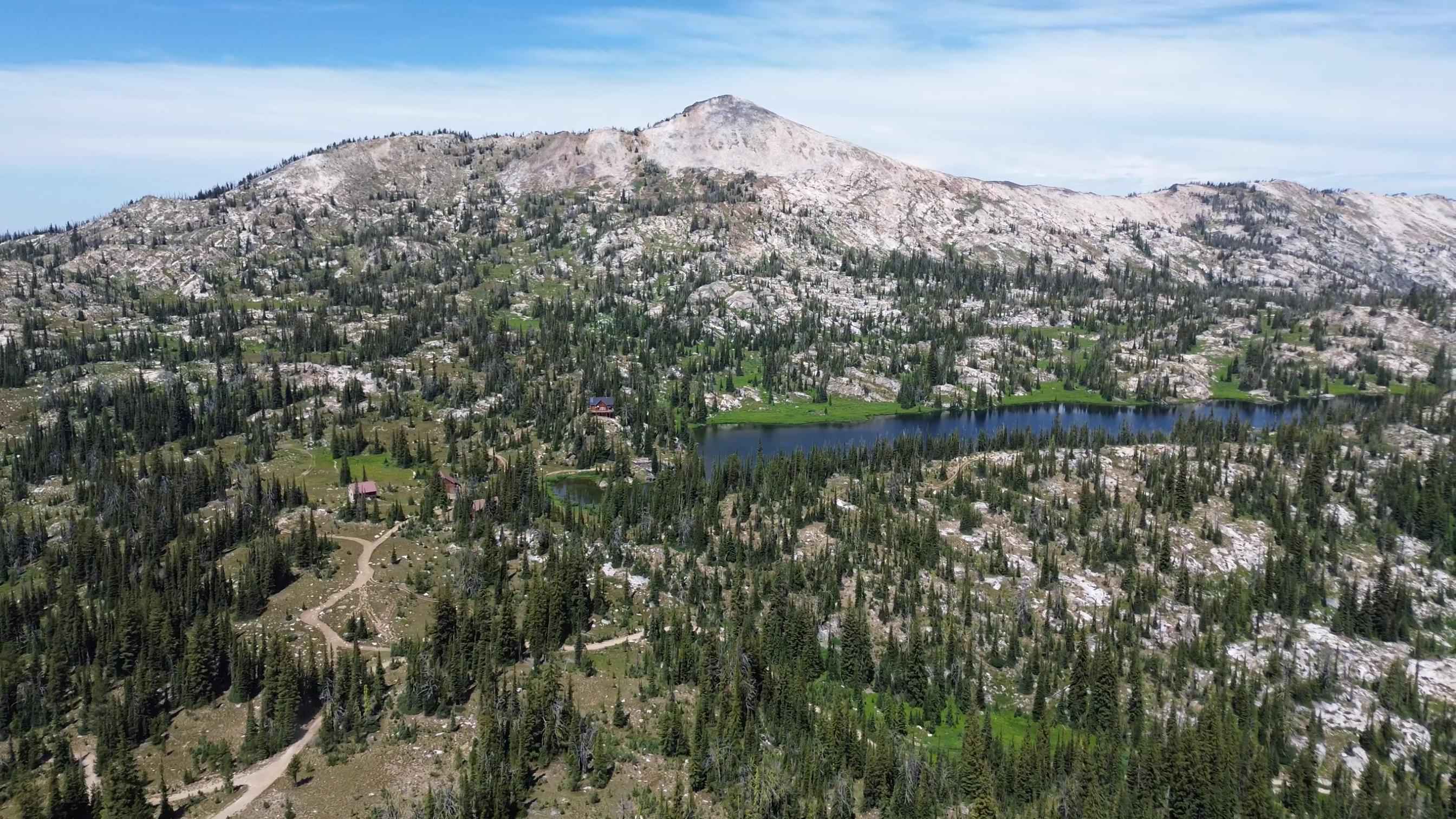
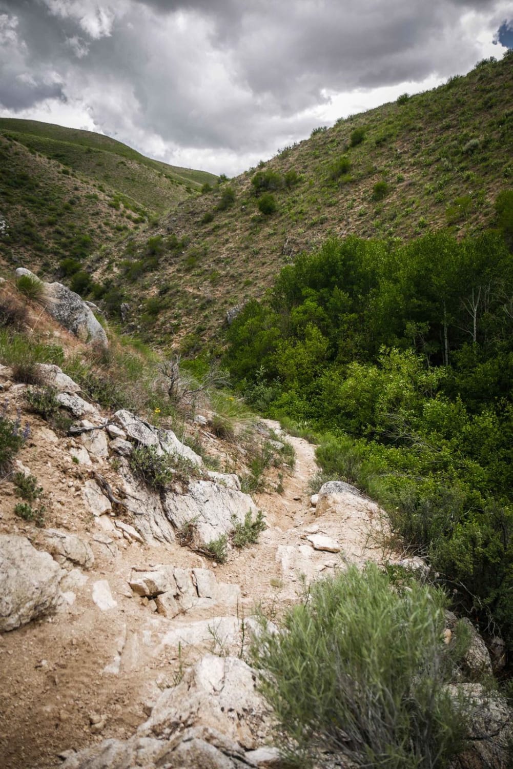
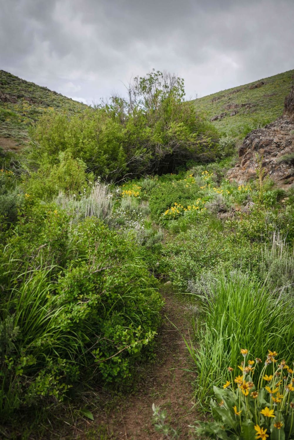
This route takes you from just below 6,000' to a little over 9,000' in elevation in just over 6 miles. It has sweeping views of the Little Lost River Valley, including Hawley Mountain, Pass Creek Summit, and Bell Mountain. The ecosystems of the area are very diverse as you start on a desert floor with the Little Lost River flowing through, and you climb to green and lush benches of the mountain. If you are looking for a great view of Bell Mountain and the Little Lost River Valley, this is a great trail for it.
Photos of Foss Mountain
Difficulty
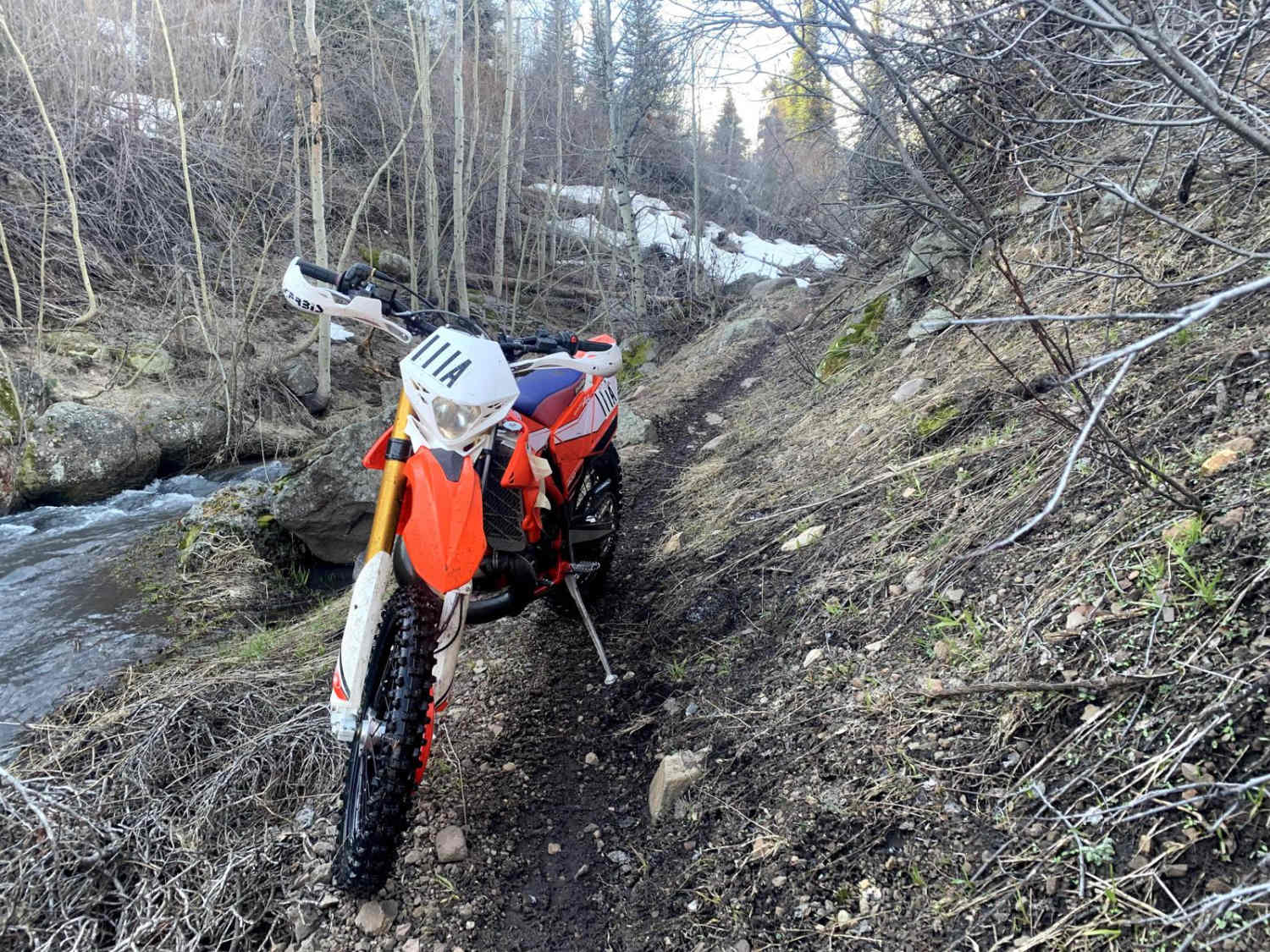
Very rocky with tight switchbacks as you start to peak. If a vehicle other than a SxS or dirt bike is used length of the vehicle should be considered
History
This trail was cut by miners to mine iron and was a very passable trail at the time. Since it was abandoned in place and very minimal maintenance has been performed by the Forest Service, it has turned into a very fun little climb to sweeping views.
Status Reports
Foss Mountain can be accessed by the following ride types:
- High-Clearance 4x4
- SxS (60")
- ATV (50")
- Dirt Bike
Foss Mountain Map
Popular Trails
Middle Fork North
The onX Offroad Difference
onX Offroad combines trail photos, descriptions, difficulty ratings, width restrictions, seasonality, and more in a user-friendly interface. Available on all devices, with offline access and full compatibility with CarPlay and Android Auto. Discover what you’re missing today!