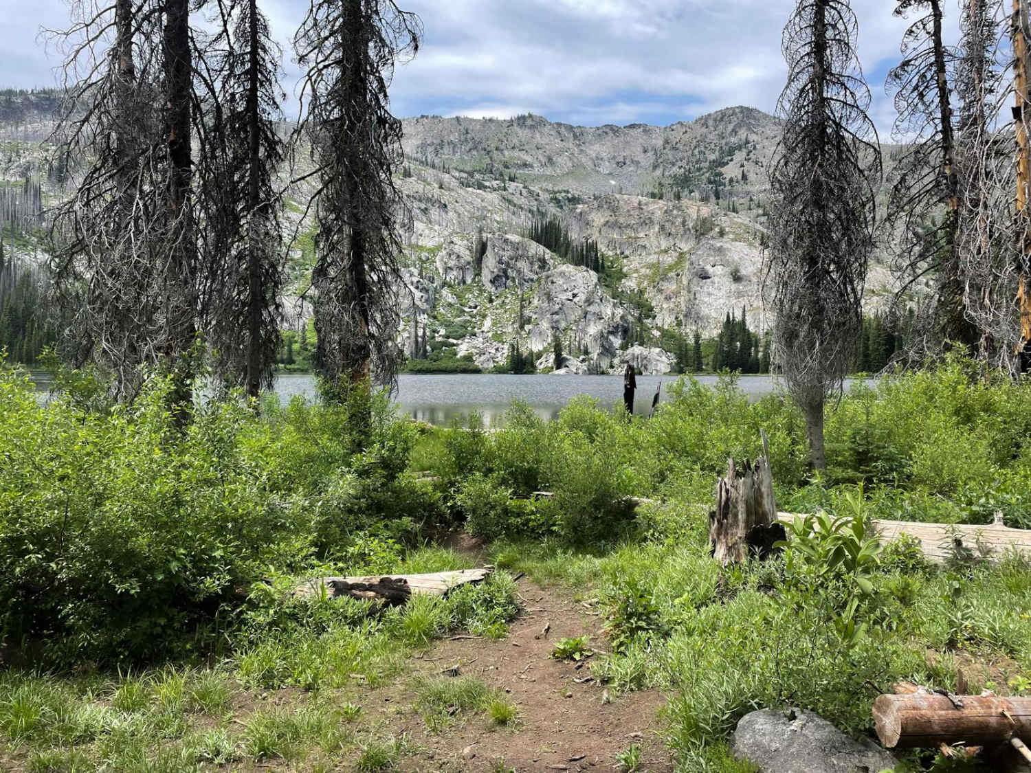
Off-Road Trails in Idaho
Discover off-road trails in Idaho
Learn more about Grimes Pass Road
Grimes Pass Road
Total Miles
14.8
Tech Rating
Easy
Best Time
Spring, Summer, Fall
Learn more about Grouse Creek - Marshall Mountain Road - FS 325
Grouse Creek - Marshall Mountain Road - FS 325
Total Miles
5.8
Tech Rating
Moderate
Best Time
Spring, Summer, Fall
Learn more about Gurley Saddle
Gurley Saddle
Total Miles
6.4
Tech Rating
Easy
Best Time
Fall, Summer, Spring
Learn more about Hamilton Mountain
Hamilton Mountain
Total Miles
8.5
Tech Rating
Easy
Best Time
Spring, Summer, Fall
Learn more about Hammond Canyon Spur
Hammond Canyon Spur
Total Miles
3.4
Tech Rating
Easy
Best Time
Spring, Summer, Fall
Learn more about Hammond Canyon To Appendicitis Hill 
Hammond Canyon To Appendicitis Hill
Total Miles
4.0
Tech Rating
Easy
Best Time
Spring, Summer, Fall
Learn more about Hammond Canyon to Spur 7 
Hammond Canyon to Spur 7
Total Miles
3.3
Tech Rating
Easy
Best Time
Spring, Summer, Fall
Learn more about Hammond Canyon to Timbered Dome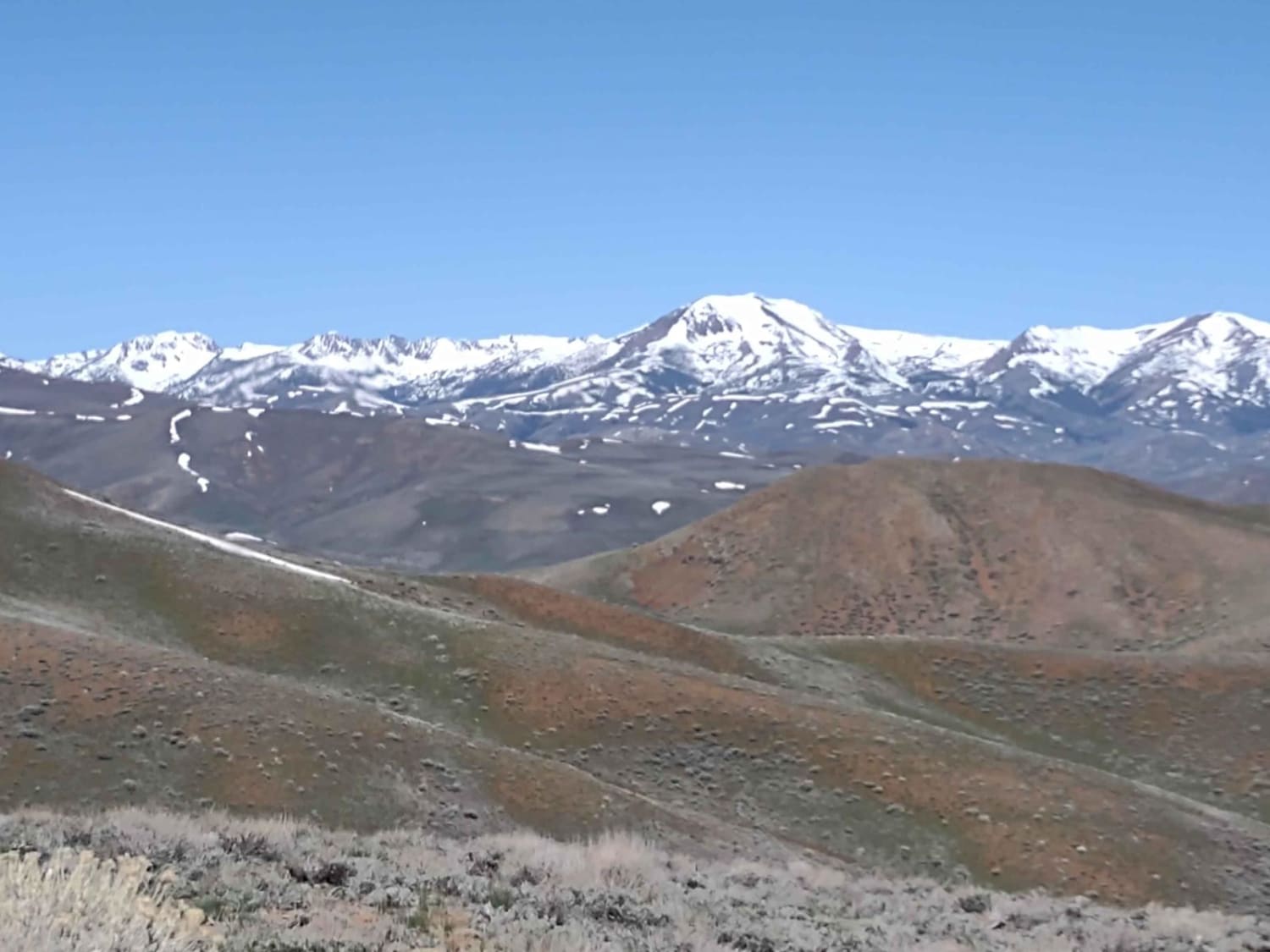
Hammond Canyon to Timbered Dome
Total Miles
9.5
Tech Rating
Easy
Best Time
Spring, Summer, Fall
Learn more about Hammond Kyle Divide 
Hammond Kyle Divide
Total Miles
4.5
Tech Rating
Difficult
Best Time
Summer, Fall
Learn more about Happy Fork
Happy Fork
Total Miles
8.1
Tech Rating
Easy
Best Time
Winter, Fall, Summer, Spring
Learn more about Hard Creek Basin
Hard Creek Basin
Total Miles
1.8
Tech Rating
Moderate
Best Time
Summer, Fall
Learn more about Hardtrigger Trail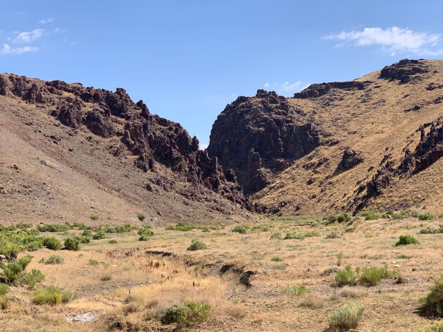
Hardtrigger Trail
Total Miles
9.2
Tech Rating
Easy
Best Time
Spring, Summer, Fall
Learn more about Harrington Peak #5215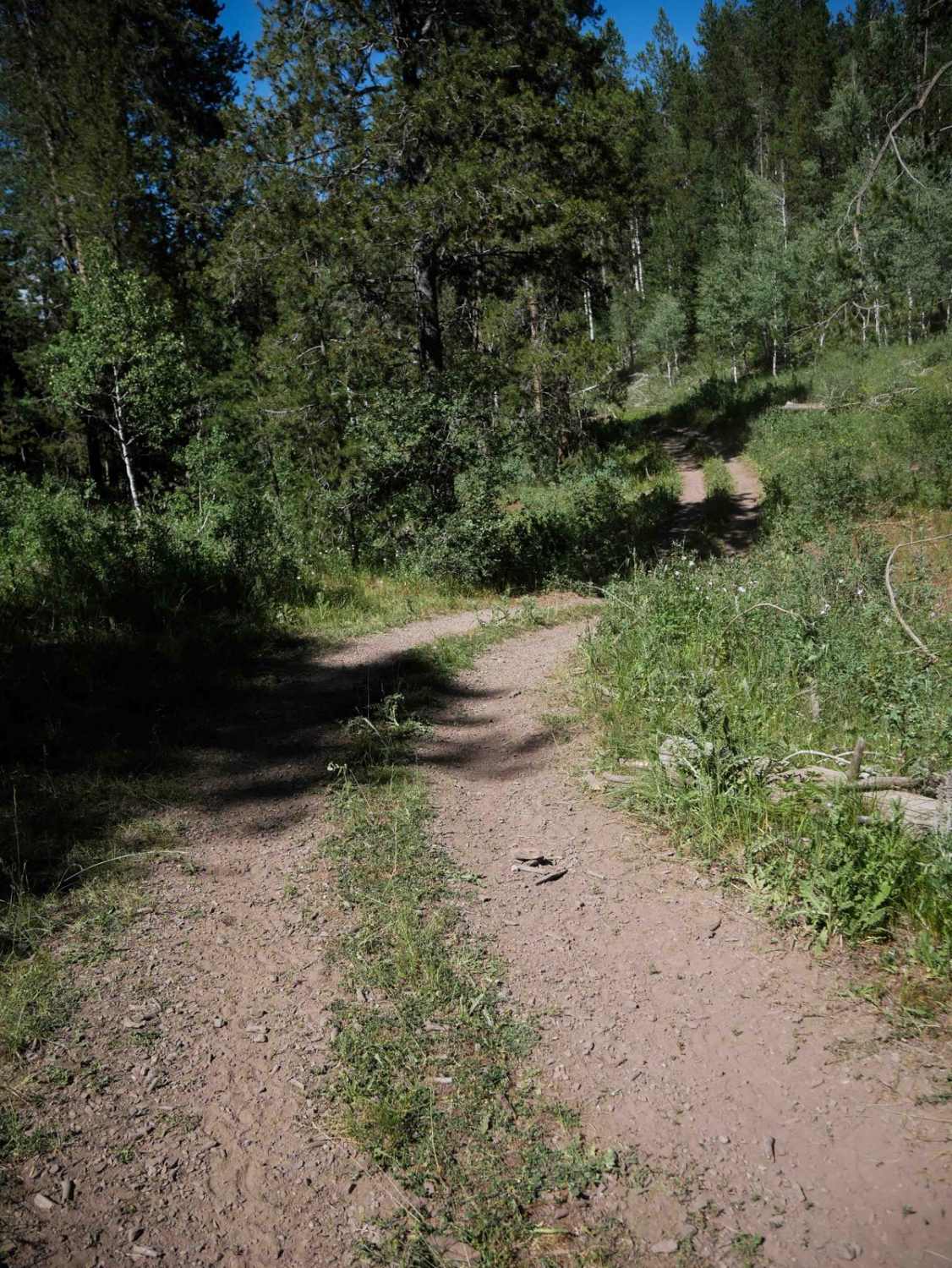
Harrington Peak #5215
Total Miles
3.0
Tech Rating
Easy
Best Time
Summer, Fall
Learn more about Harrington Peak Access #5233 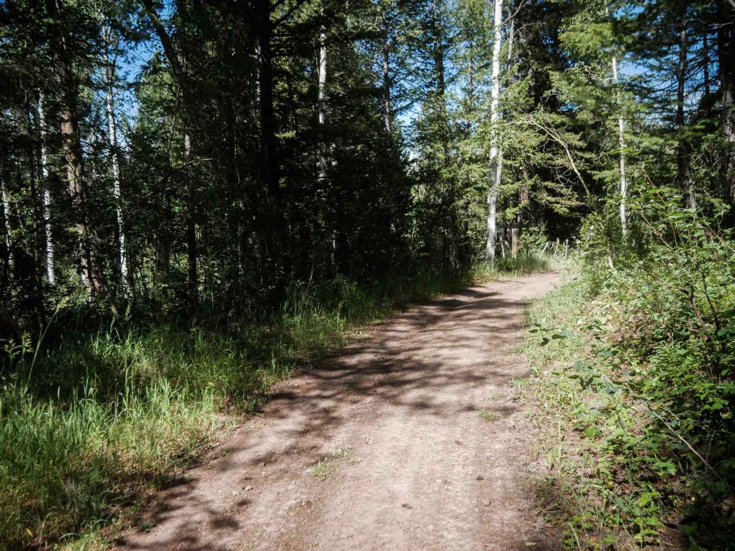
Harrington Peak Access #5233
Total Miles
3.5
Tech Rating
Easy
Best Time
Summer, Fall
Learn more about Harris Creek Trail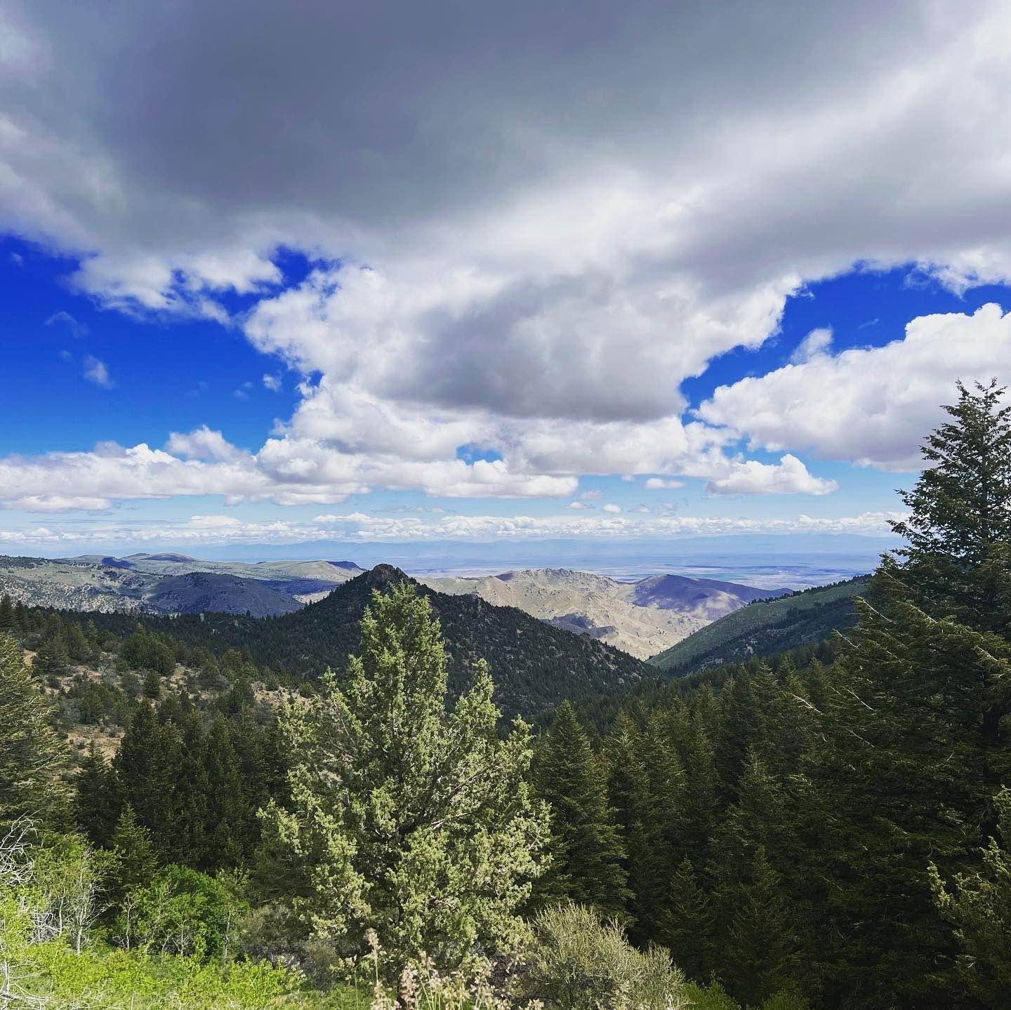
Harris Creek Trail
Total Miles
13.9
Tech Rating
Easy
Best Time
Spring, Summer, Fall
Learn more about Hay Knapp Creek
Hay Knapp Creek
Total Miles
10.2
Tech Rating
Moderate
Best Time
Summer, Fall
Learn more about Hay Knapp Creek (North) 
Hay Knapp Creek (North)
Total Miles
4.8
Tech Rating
Moderate
Best Time
Summer, Fall
Learn more about Hay Knapp Creek (South) 
Hay Knapp Creek (South)
Total Miles
5.9
Tech Rating
Moderate
Best Time
Summer, Fall
Learn more about Hayden Lake Divide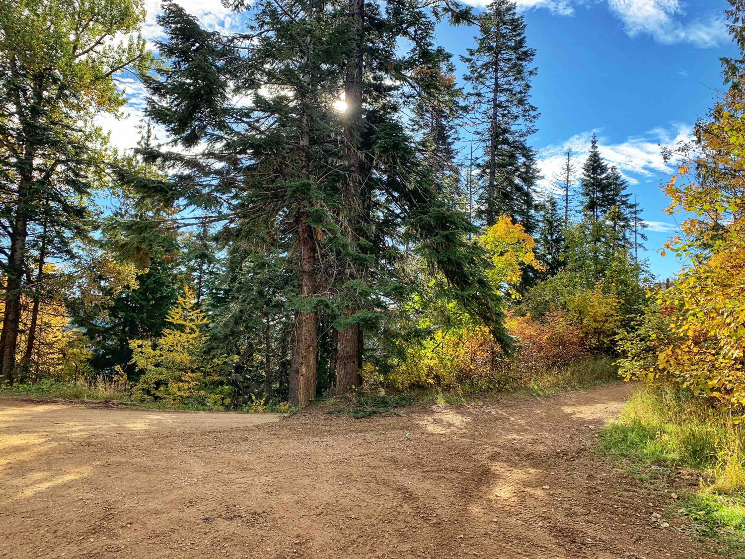
Hayden Lake Divide
Total Miles
3.7
Tech Rating
Easy
Best Time
Fall, Summer, Spring
ATV trails in Idaho
Learn more about Aspen Range - Middle Sulphur #5248 
Aspen Range - Middle Sulphur #5248
Total Miles
1.9
Tech Rating
Easy
Best Time
Summer, Fall
Learn more about Dry Fork - Meadow Springs #5226 
Dry Fork - Meadow Springs #5226
Total Miles
0.4
Tech Rating
Easy
Best Time
Summer, Fall
Learn more about South Foothill Road
South Foothill Road
Total Miles
8.2
Tech Rating
Moderate
Best Time
Summer, Fall

UTV/side-by-side trails in Idaho
Learn more about South Foothill Road
South Foothill Road
Total Miles
8.2
Tech Rating
Moderate
Best Time
Summer, Fall

Learn more about 21 To Nip & Tuck
21 To Nip & Tuck
Total Miles
1.4
Tech Rating
Easy
Best Time
Fall, Summer, Spring

The onX Offroad Difference
onX Offroad combines trail photos, descriptions, difficulty ratings, width restrictions, seasonality, and more in a user-friendly interface. Available on all devices, with offline access and full compatibility with CarPlay and Android Auto. Discover what you’re missing today!