Hay Knapp Creek
Total Miles
10.2
Technical Rating
Best Time
Summer, Fall
Trail Type
Single Track
Accessible By
Trail Overview
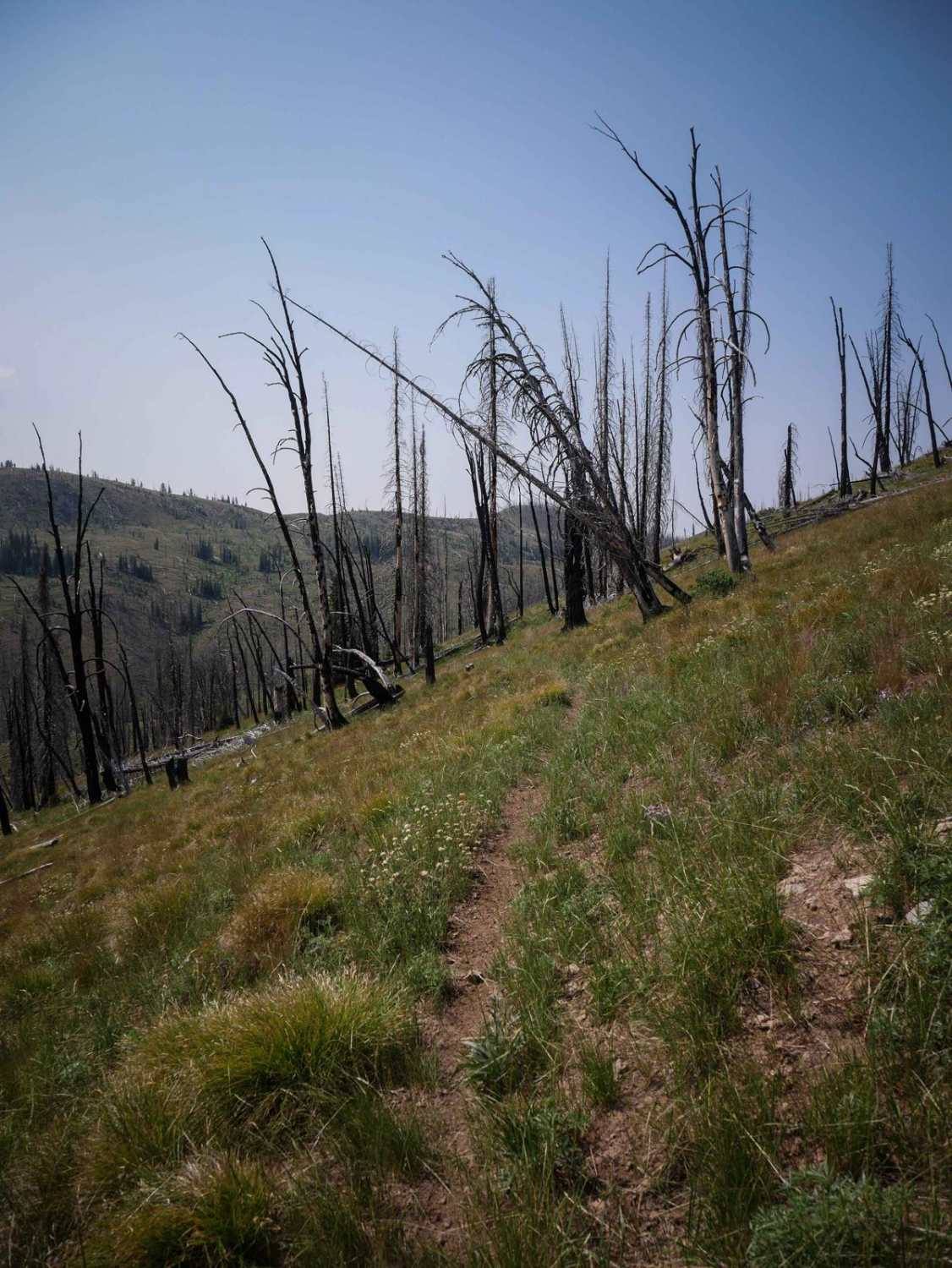
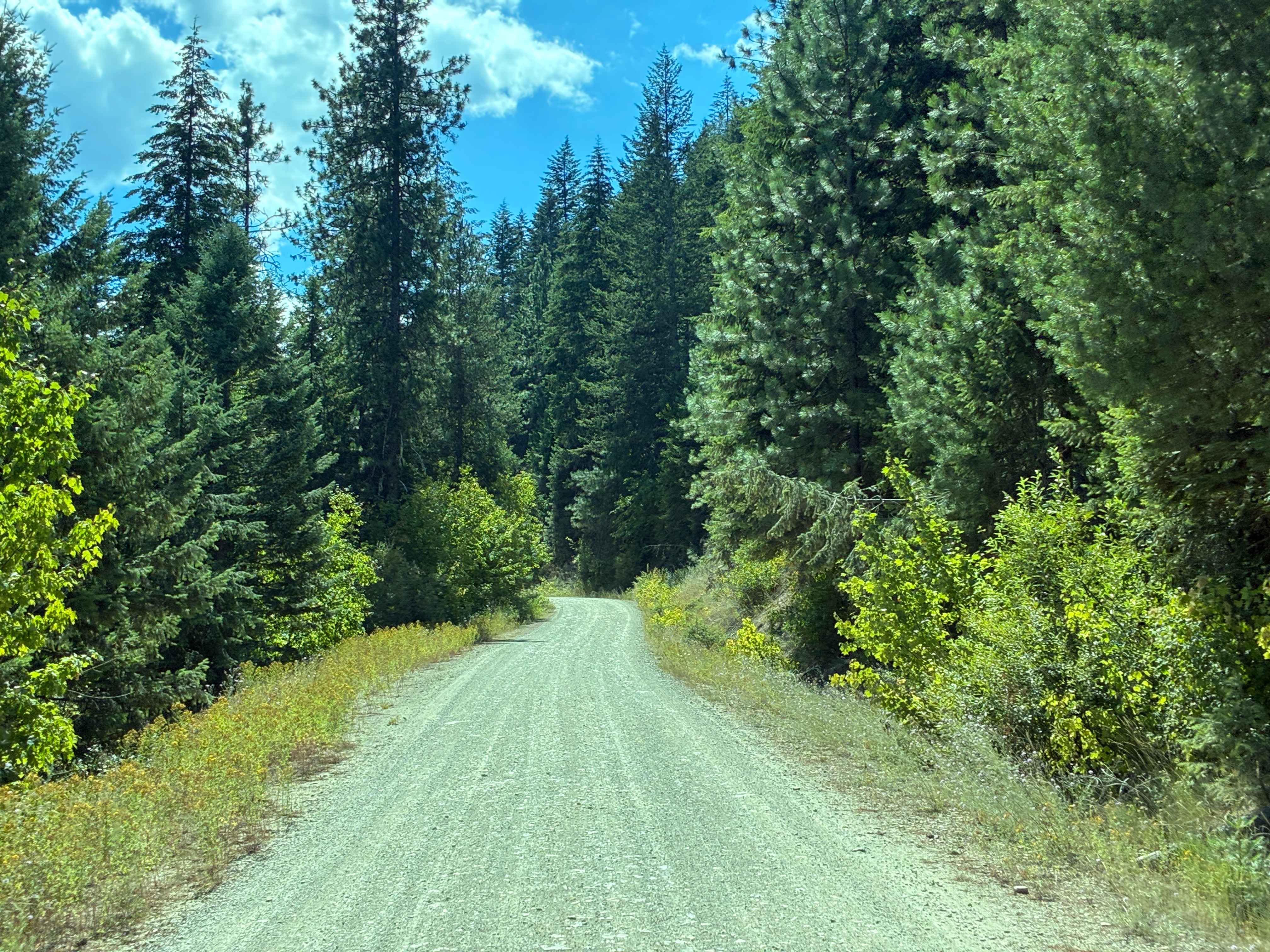
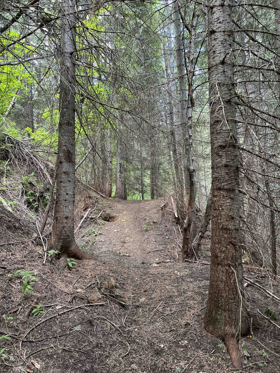
This 9 mile segment of the Hay Knapp Creek Single-track connects to the Hay Knapp Creek ATV trail on its east end, and the Lower Basin ATV Trail on its west end. This segment goes through a burn area with many downed logs, traversing grassy hillside with moderate exposure as it side-hills across steep mountain slopes. Starting from the east, the first 6 miles go mostly along a ridgeline or hillside above 8,000 feet elevation, so it has incredible views of all the surrounding mountains and a couple of alpine lakes. It goes past some scenic volcanic-looking rock outcroppings, too. There are some pretty dry hillsides, sometimes with more exposed spots with no vegetation. The first two miles are the easiest, and the middle segment becomes rockier with some climbs total of loose rocks. It also has a few tight switchbacks that are super narrow and rockier. As it continues west, there are more embedded rock and loose sections that would be tricky for an inexperienced rider. The last three miles are the most difficult, as it starts to drop down from the ridgeline into a creek drainage along the Hay Creek. It drops 1,900 feet in the last three miles, down several tight switchbacks, through tiny creek crossings, constantly descending. There are a few logs down, and it's also pretty rocky in this segment. It goes right underneath another massive volcanic rock outcropping, having to go across an exposed scree slope.
Photos of Hay Knapp Creek
Difficulty
This is an intermediate trail due to lots of narrow and exposed section, tight switchbacks both up and down, and rocky climbs, all of which present a good challenge for the average rider. The trail gets more technical as you go east to west.
Status Reports
Hay Knapp Creek can be accessed by the following ride types:
- Dirt Bike
Hay Knapp Creek Map
Popular Trails
South Antelope Flat Road (20553)
Moores Gulch
The onX Offroad Difference
onX Offroad combines trail photos, descriptions, difficulty ratings, width restrictions, seasonality, and more in a user-friendly interface. Available on all devices, with offline access and full compatibility with CarPlay and Android Auto. Discover what you’re missing today!

