Off-Road Trails in Idaho
Discover off-road trails in Idaho
Learn more about Goodheart Springs Alt #3566A 
Goodheart Springs Alt #3566A
Total Miles
0.7
Tech Rating
Easy
Best Time
Summer, Fall
Learn more about Goose Creek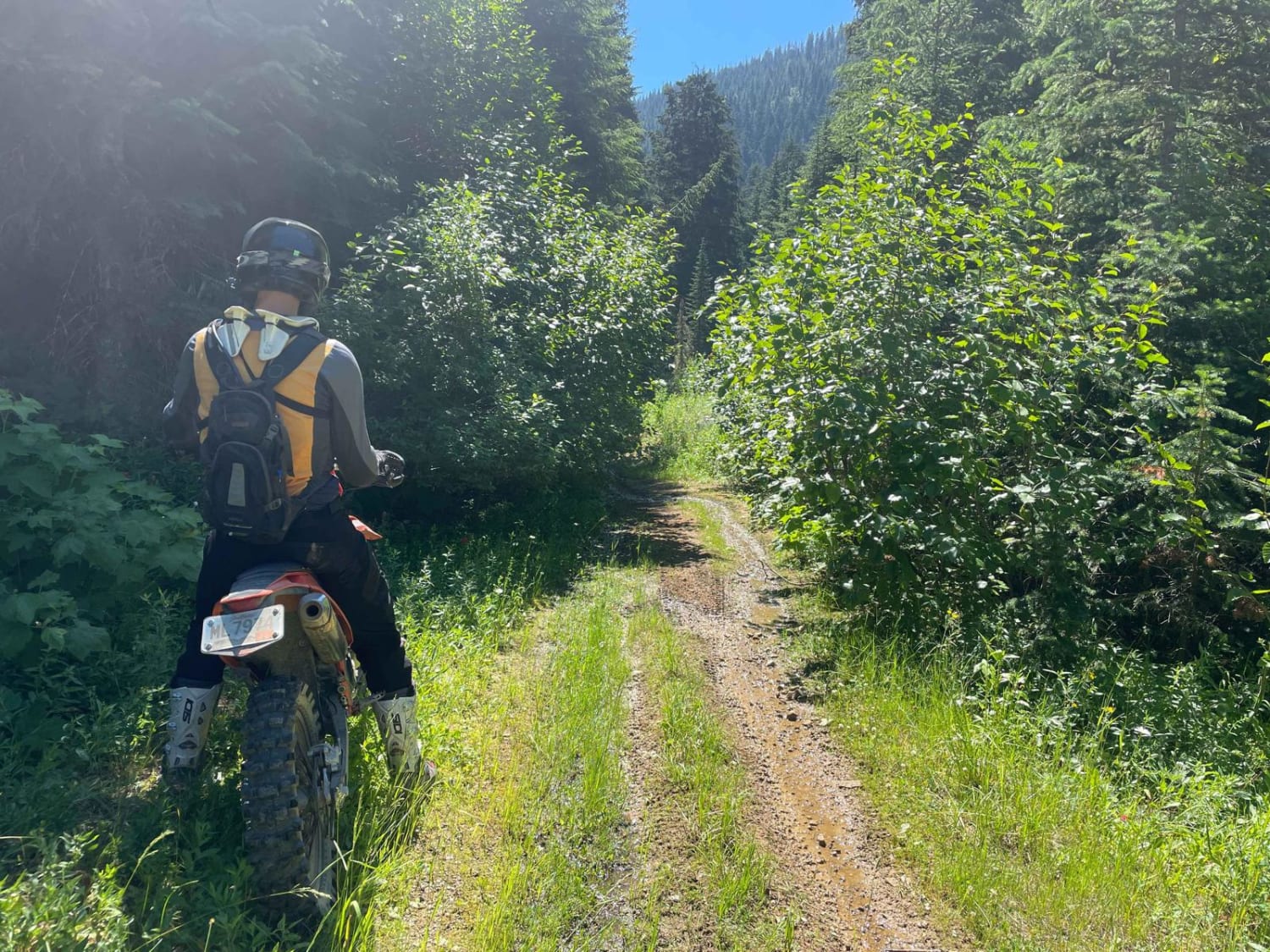
Goose Creek
Total Miles
4.5
Tech Rating
Moderate
Best Time
Fall, Summer, Spring
Learn more about Goose Creek Single Track 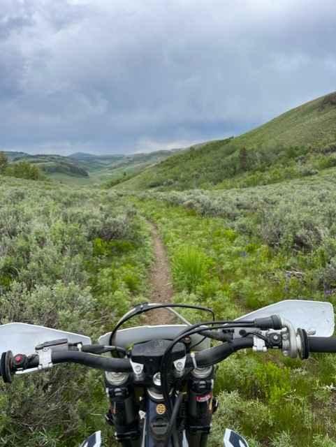
Goose Creek Single Track
Total Miles
4.5
Tech Rating
Difficult
Best Time
Spring, Summer, Fall
Learn more about Goose Lake Road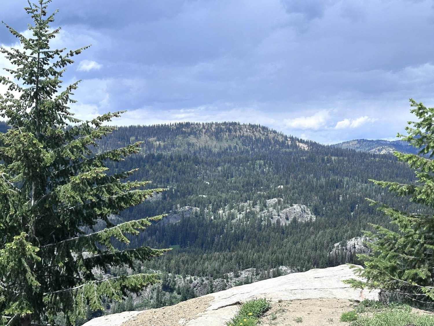
Goose Lake Road
Total Miles
7.1
Tech Rating
Easy
Best Time
Summer, Fall, Spring
Learn more about Graham Coal Connect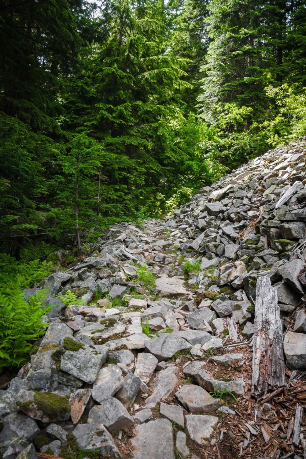
Graham Coal Connect
Total Miles
3.5
Tech Rating
Difficult
Best Time
Spring, Summer, Fall
Learn more about Grand Prize - FS 7112
Grand Prize - FS 7112
Total Miles
11.8
Tech Rating
Easy
Best Time
Summer, Fall
Learn more about Grandad Road (Elk River to Dworshak Reservoir)
Grandad Road (Elk River to Dworshak Reservoir)
Total Miles
25.1
Tech Rating
Easy
Best Time
Spring, Summer
Learn more about Grass Mountain ATV 
Grass Mountain ATV
Total Miles
5.4
Tech Rating
Easy
Best Time
Summer, Fall
Learn more about Grass Mountain Singletrack
Grass Mountain Singletrack
Total Miles
5.5
Tech Rating
Difficult
Best Time
Summer, Fall
Learn more about Gray's Lake Outlet
Gray's Lake Outlet
Total Miles
2.4
Tech Rating
Easy
Best Time
Spring, Summer, Fall
Learn more about Green Basin #5229 
Green Basin #5229
Total Miles
1.0
Tech Rating
Easy
Best Time
Summer, Fall
Learn more about Green Creek Trail
Green Creek Trail
Total Miles
4.3
Tech Rating
Difficult
Best Time
Summer, Fall

Learn more about Green Mountain Lookout
Green Mountain Lookout
Total Miles
4.4
Tech Rating
Easy
Best Time
Summer
Learn more about Greenhorn - Imperial Connector 
Greenhorn - Imperial Connector
Total Miles
0.9
Tech Rating
Easy
Best Time
Fall, Summer, Spring
ATV trails in Idaho
Learn more about Aspen Range - Middle Sulphur #5248 
Aspen Range - Middle Sulphur #5248
Total Miles
1.9
Tech Rating
Easy
Best Time
Summer, Fall
Learn more about Dry Fork - Meadow Springs #5226 
Dry Fork - Meadow Springs #5226
Total Miles
0.4
Tech Rating
Easy
Best Time
Summer, Fall
Learn more about South Foothill Road
South Foothill Road
Total Miles
8.2
Tech Rating
Moderate
Best Time
Summer, Fall

UTV/side-by-side trails in Idaho
Learn more about South Foothill Road
South Foothill Road
Total Miles
8.2
Tech Rating
Moderate
Best Time
Summer, Fall

Learn more about 21 To Nip & Tuck
21 To Nip & Tuck
Total Miles
1.4
Tech Rating
Easy
Best Time
Fall, Summer, Spring

The onX Offroad Difference
onX Offroad combines trail photos, descriptions, difficulty ratings, width restrictions, seasonality, and more in a user-friendly interface. Available on all devices, with offline access and full compatibility with CarPlay and Android Auto. Discover what you’re missing today!