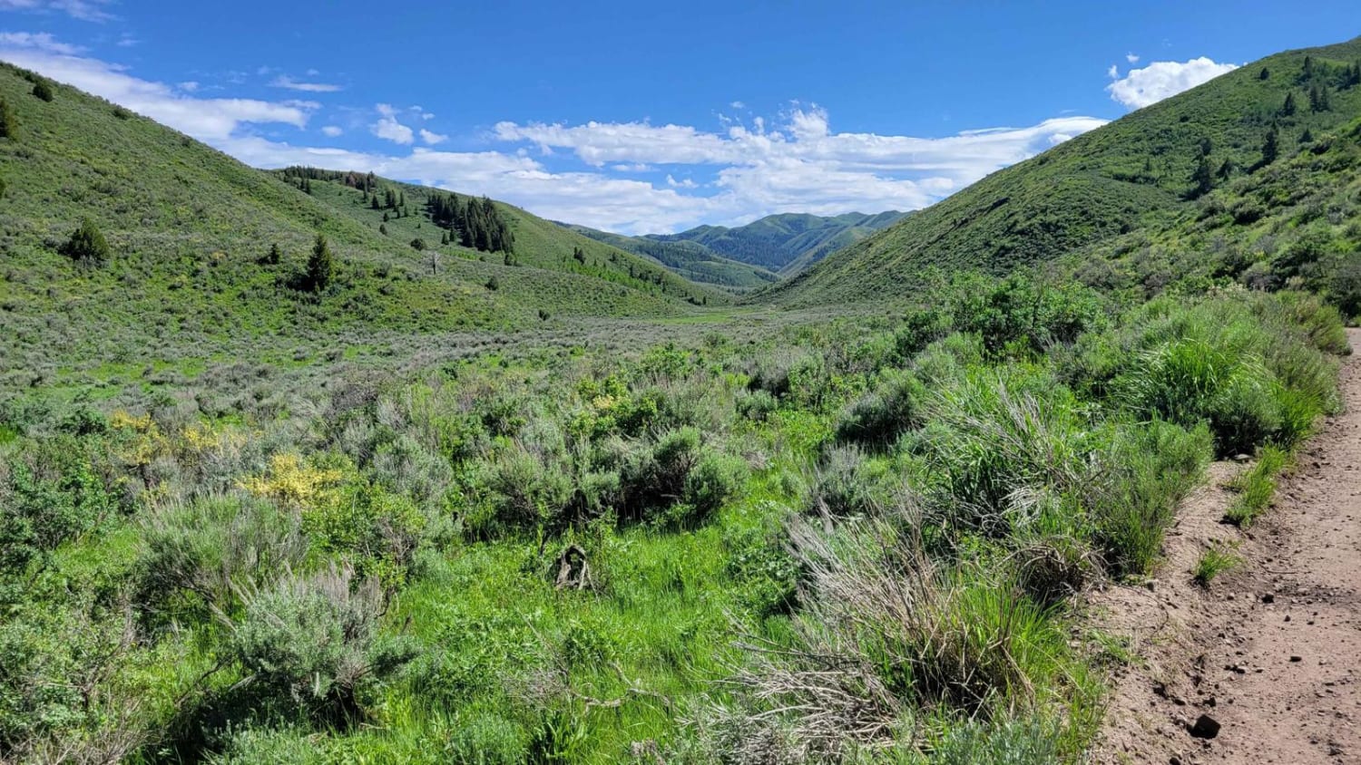
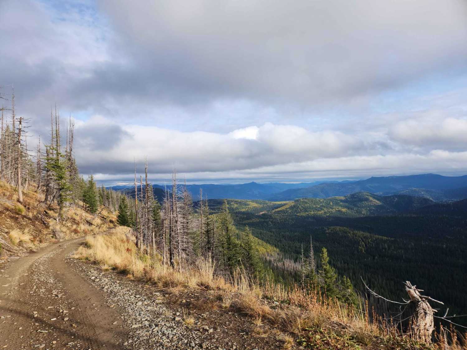
Off-Road Trails in Idaho
Discover off-road trails in Idaho
Learn more about Hell Roaring Trail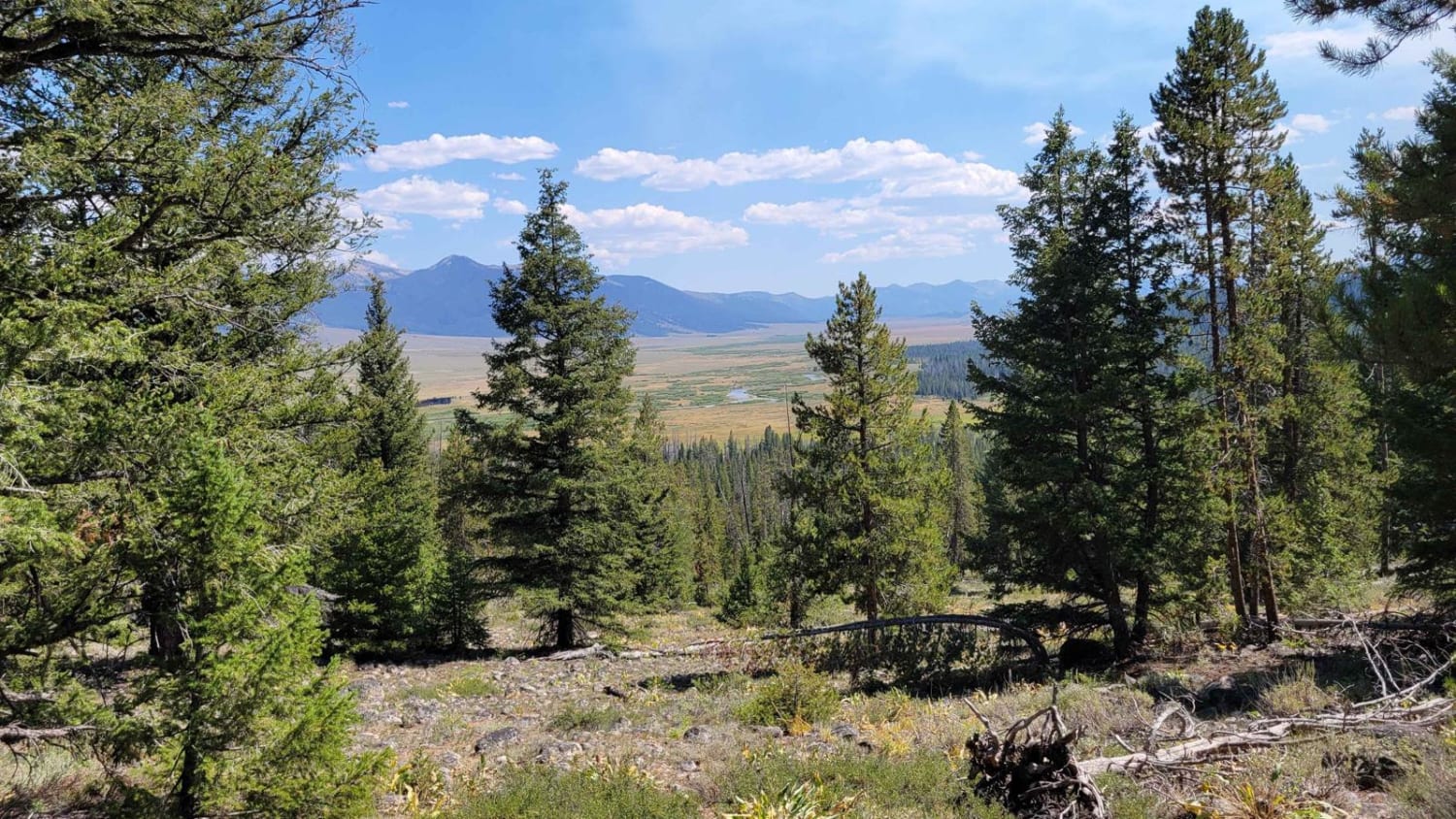
Hell Roaring Trail
Total Miles
4.0
Tech Rating
Easy
Best Time
Spring, Summer, Fall
Learn more about Hell's Canyon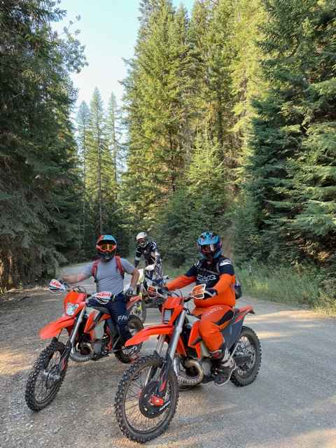
Hell's Canyon
Total Miles
4.1
Tech Rating
Easy
Best Time
Spring, Summer, Fall
Learn more about Hells Half Acre
Hells Half Acre
Total Miles
6.6
Tech Rating
Difficult
Best Time
Spring, Fall, Summer
Learn more about Hells Half Acre Lookout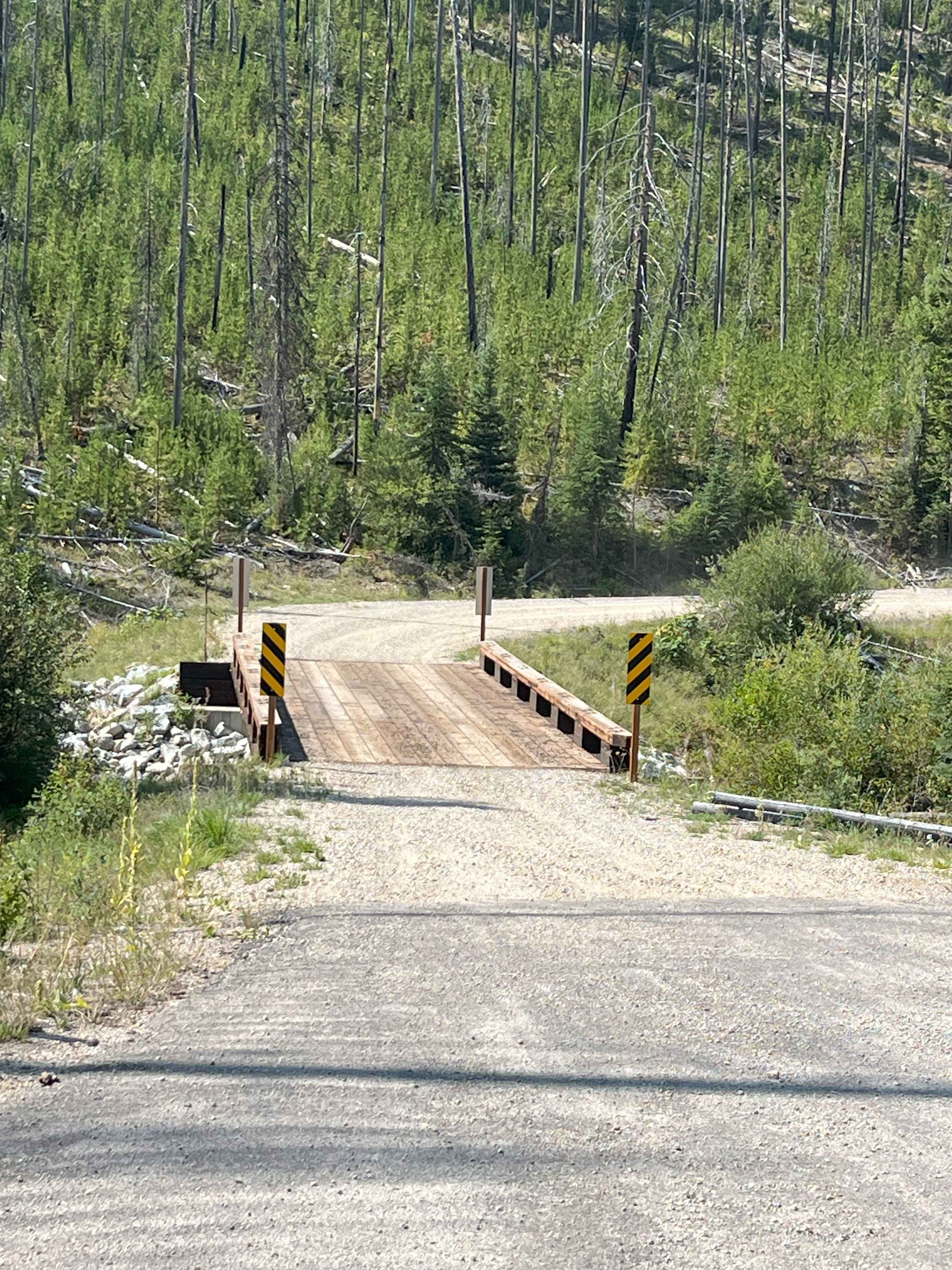
Hells Half Acre Lookout
Total Miles
10.0
Tech Rating
Easy
Best Time
Summer, Fall
Learn more about Henderson Cutoff
Henderson Cutoff
Total Miles
0.6
Tech Rating
Moderate
Best Time
Summer, Fall
Learn more about Hess Park #3598
Hess Park #3598
Total Miles
1.3
Tech Rating
Moderate
Best Time
Summer, Fall
Learn more about Hidden Lake Loop
Hidden Lake Loop
Total Miles
3.1
Tech Rating
Difficult
Best Time
Summer, Fall
Learn more about Hidden Lemhi Pass
Hidden Lemhi Pass
Total Miles
12.4
Tech Rating
Moderate
Best Time
Summer

Learn more about Highline Singletrack
Highline Singletrack
Total Miles
7.1
Tech Rating
Moderate
Best Time
Summer, Fall
Learn more about Hill 36 OHV - 3598 
Hill 36 OHV - 3598
Total Miles
2.3
Tech Rating
Easy
Best Time
Spring, Summer, Fall
Learn more about Hill Creek - FS 1976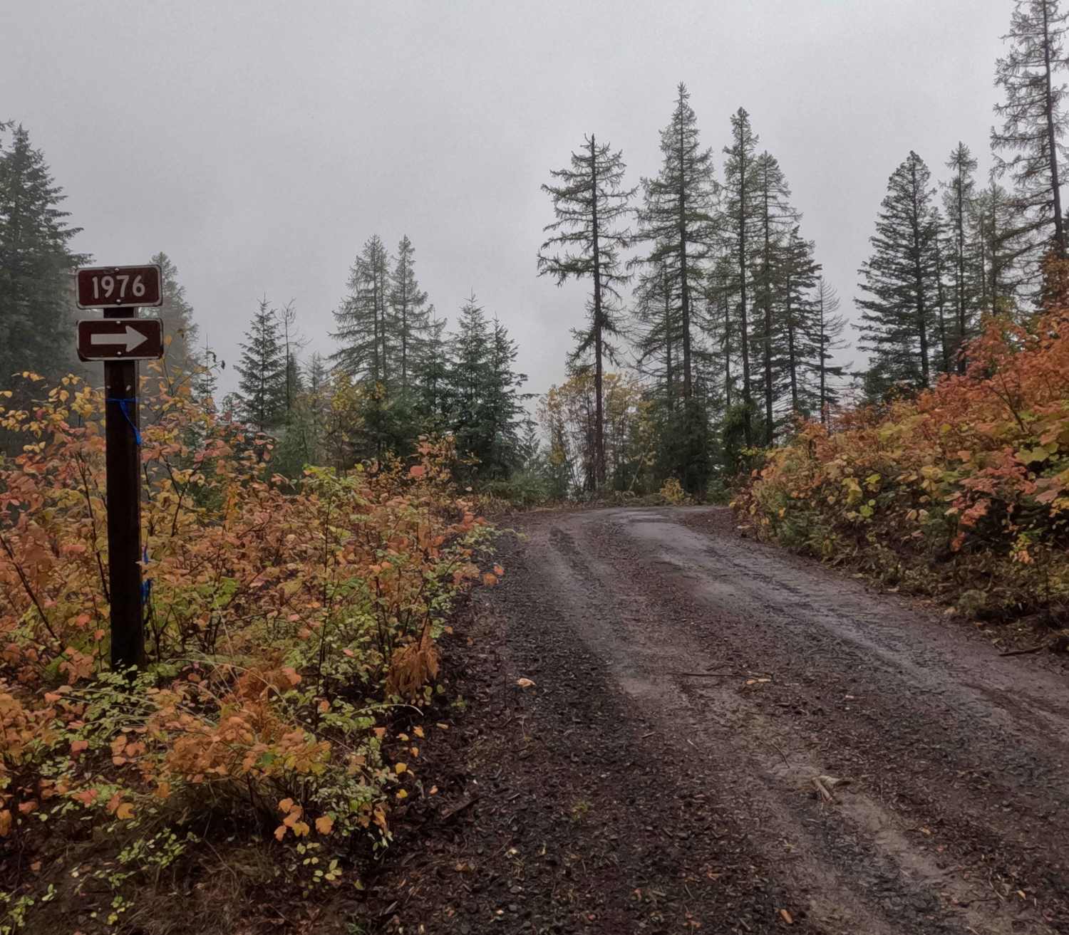
Hill Creek - FS 1976
Total Miles
1.8
Tech Rating
Easy
Best Time
Spring, Summer, Fall, Winter
Learn more about Hogsback Ridge
Hogsback Ridge
Total Miles
3.6
Tech Rating
Moderate
Best Time
Spring, Summer, Fall
Learn more about Honeysuckle to Cascade Saddle
Honeysuckle to Cascade Saddle
Total Miles
8.4
Tech Rating
Easy
Best Time
Spring, Summer, Fall
Learn more about Horse Basin to Dry Gulch
Horse Basin to Dry Gulch
Total Miles
16.2
Tech Rating
Easy
Best Time
Summer, Spring, Fall
Learn more about Horse Creek Lower Section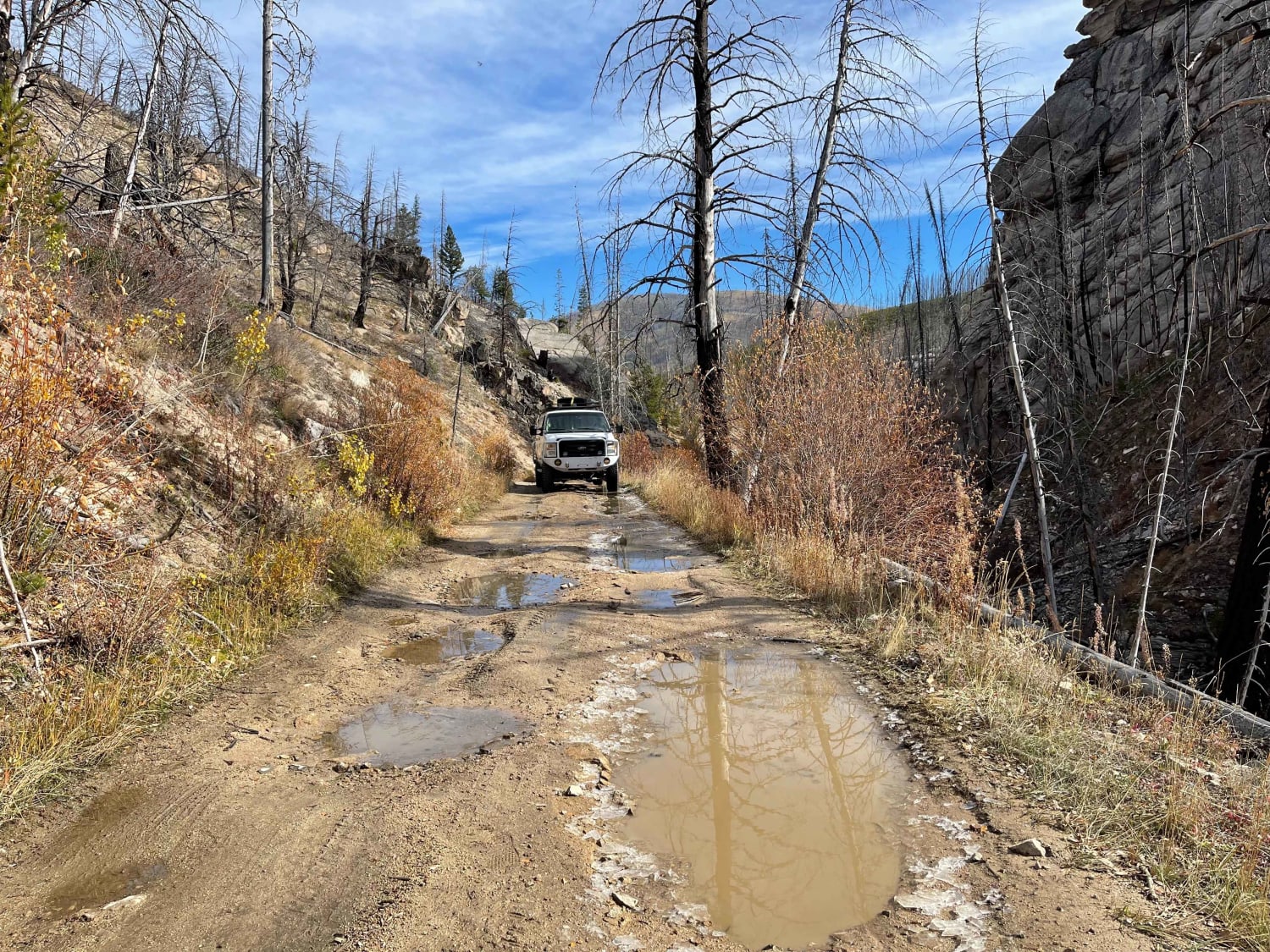
Horse Creek Lower Section
Total Miles
3.9
Tech Rating
Easy
Best Time
Fall, Summer, Spring
ATV trails in Idaho
Learn more about Aspen Range - Middle Sulphur #5248 
Aspen Range - Middle Sulphur #5248
Total Miles
1.9
Tech Rating
Easy
Best Time
Summer, Fall
Learn more about Dry Fork - Meadow Springs #5226 
Dry Fork - Meadow Springs #5226
Total Miles
0.4
Tech Rating
Easy
Best Time
Summer, Fall
Learn more about South Foothill Road
South Foothill Road
Total Miles
8.2
Tech Rating
Moderate
Best Time
Summer, Fall

UTV/side-by-side trails in Idaho
Learn more about South Foothill Road
South Foothill Road
Total Miles
8.2
Tech Rating
Moderate
Best Time
Summer, Fall

Learn more about 21 To Nip & Tuck
21 To Nip & Tuck
Total Miles
1.4
Tech Rating
Easy
Best Time
Fall, Summer, Spring

The onX Offroad Difference
onX Offroad combines trail photos, descriptions, difficulty ratings, width restrictions, seasonality, and more in a user-friendly interface. Available on all devices, with offline access and full compatibility with CarPlay and Android Auto. Discover what you’re missing today!