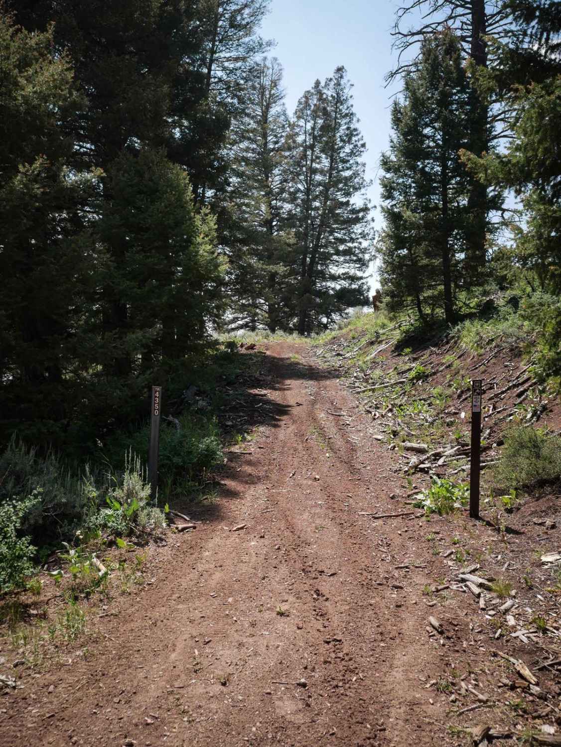
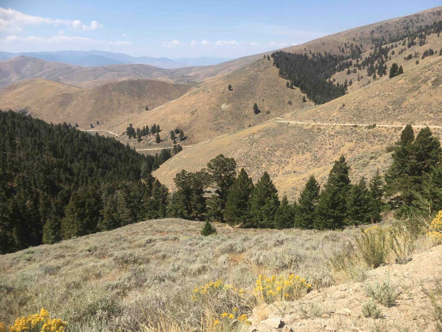
Off-Road Trails in Idaho
Discover off-road trails in Idaho
Learn more about Lake Elsie Ridge ATV 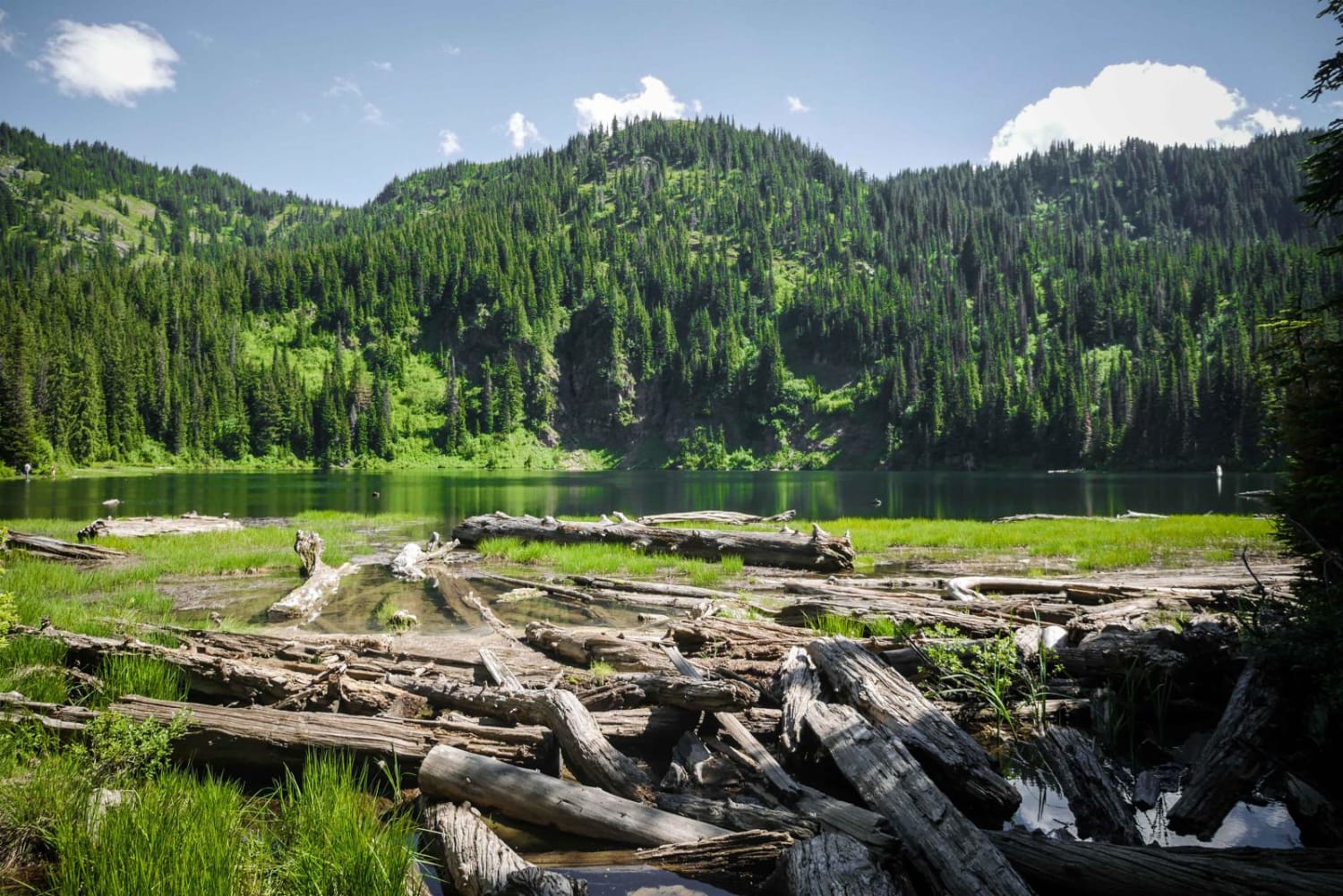
Lake Elsie Ridge ATV
Total Miles
1.0
Tech Rating
Easy
Best Time
Spring, Summer, Fall
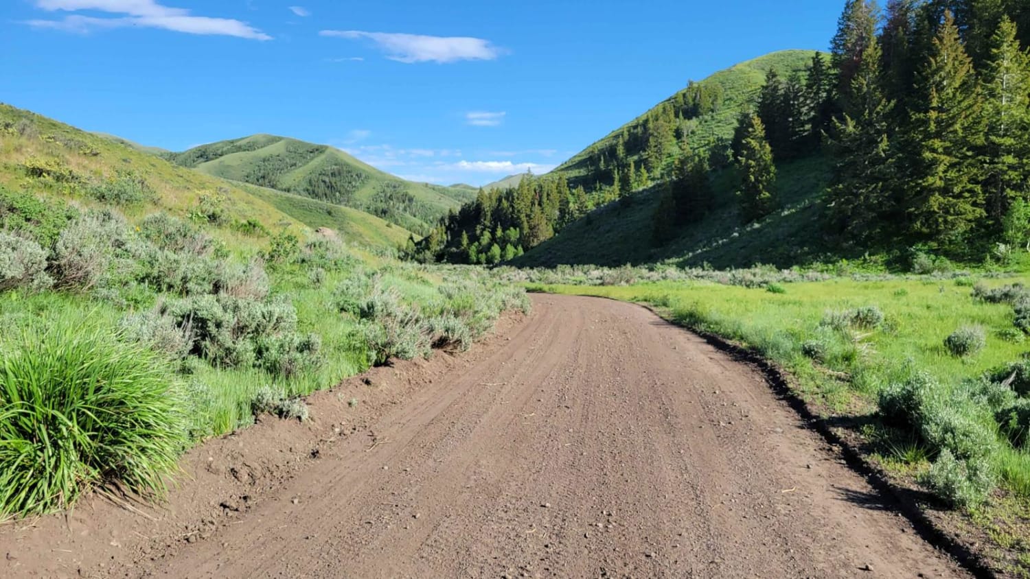
Learn more about Lake Mountain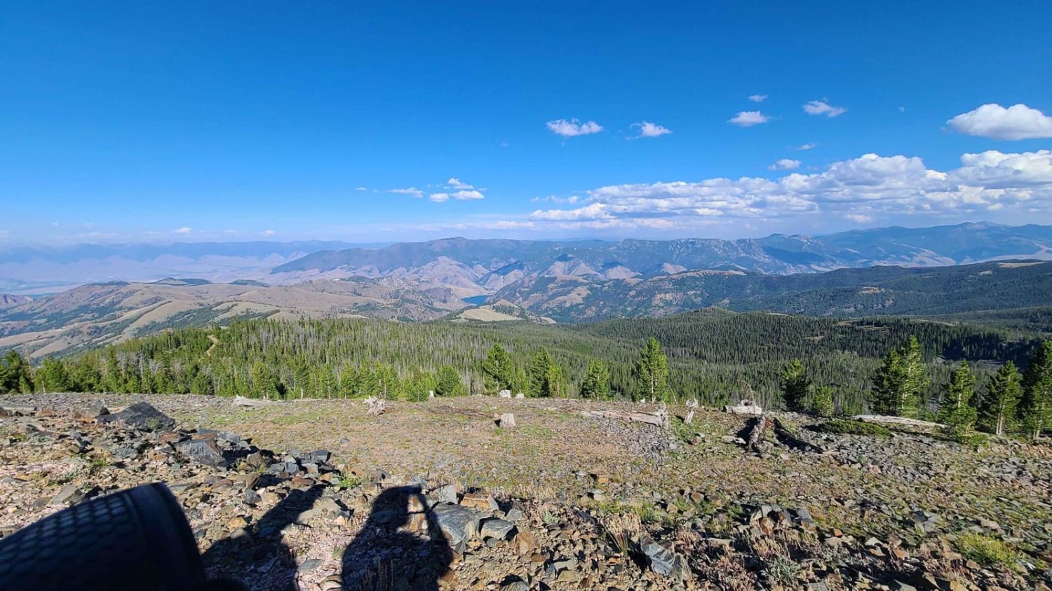
Lake Mountain
Total Miles
16.2
Tech Rating
Easy
Best Time
Summer, Fall, Spring
Learn more about Lake Overlook Track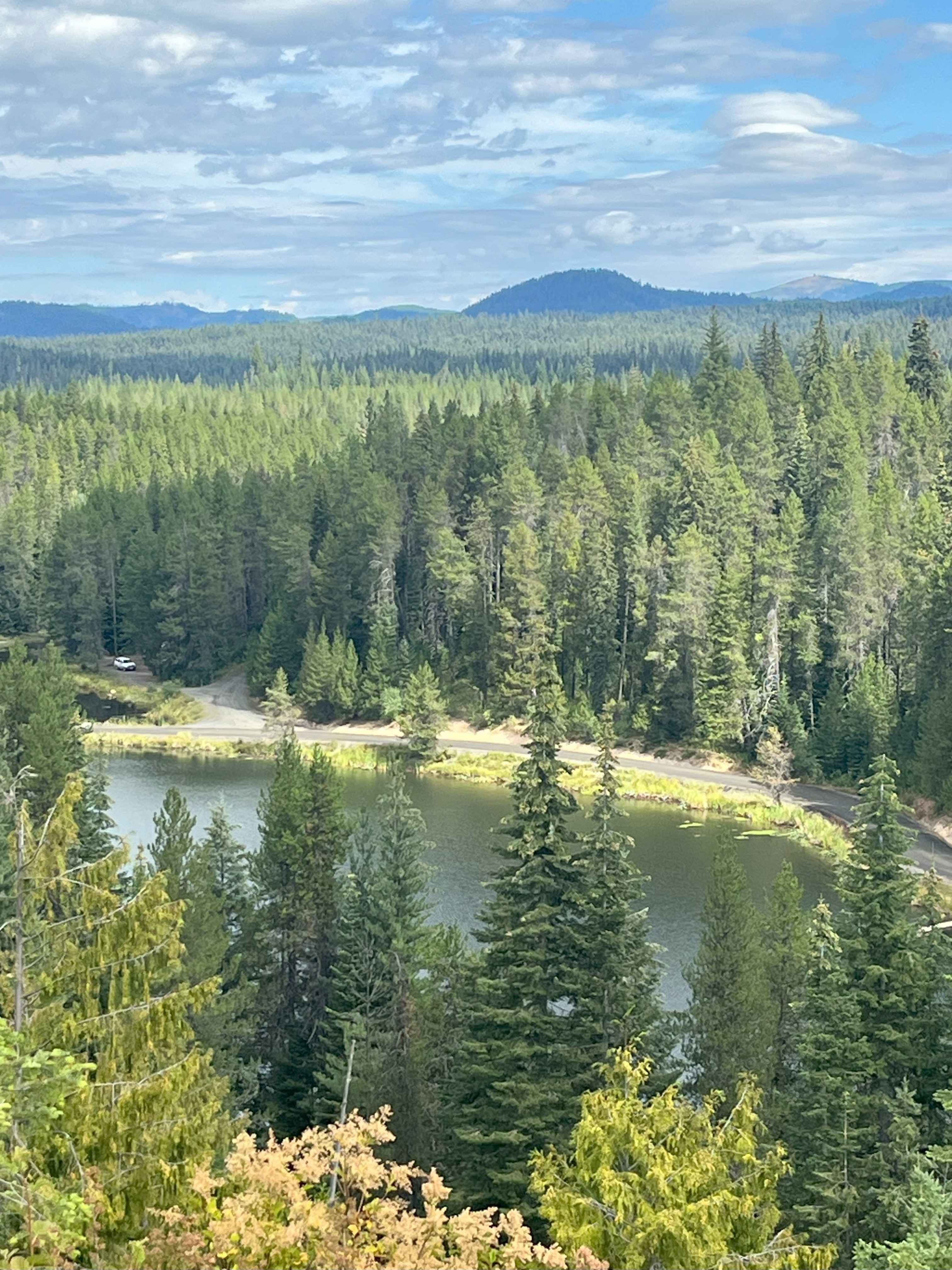
Lake Overlook Track
Total Miles
0.4
Tech Rating
Easy
Best Time
Spring, Summer, Fall
Learn more about Lake Pend Oreille Trails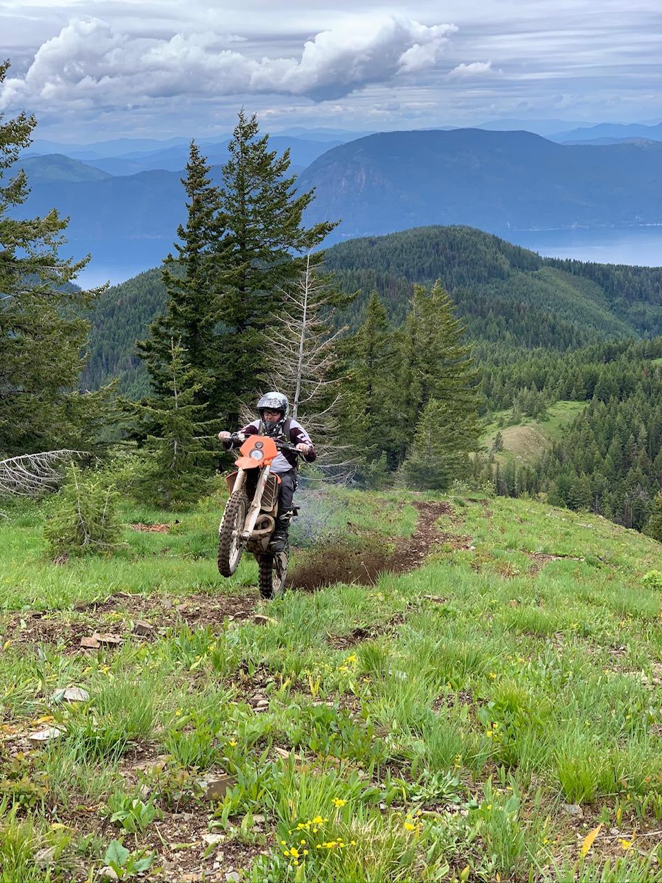
Lake Pend Oreille Trails
Total Miles
44.5
Tech Rating
Difficult
Best Time
Summer
Learn more about Lamar Creek Road 25M (Rocky Ridge Yurt)
Lamar Creek Road 25M (Rocky Ridge Yurt)
Total Miles
1.2
Tech Rating
Easy
Best Time
Spring, Summer, Fall, Winter
Learn more about Leaton Gulch Up and Over Grouse Mountain
Leaton Gulch Up and Over Grouse Mountain
Total Miles
19.5
Tech Rating
Moderate
Best Time
Fall, Summer, Spring
Learn more about Leiberg Magee (422)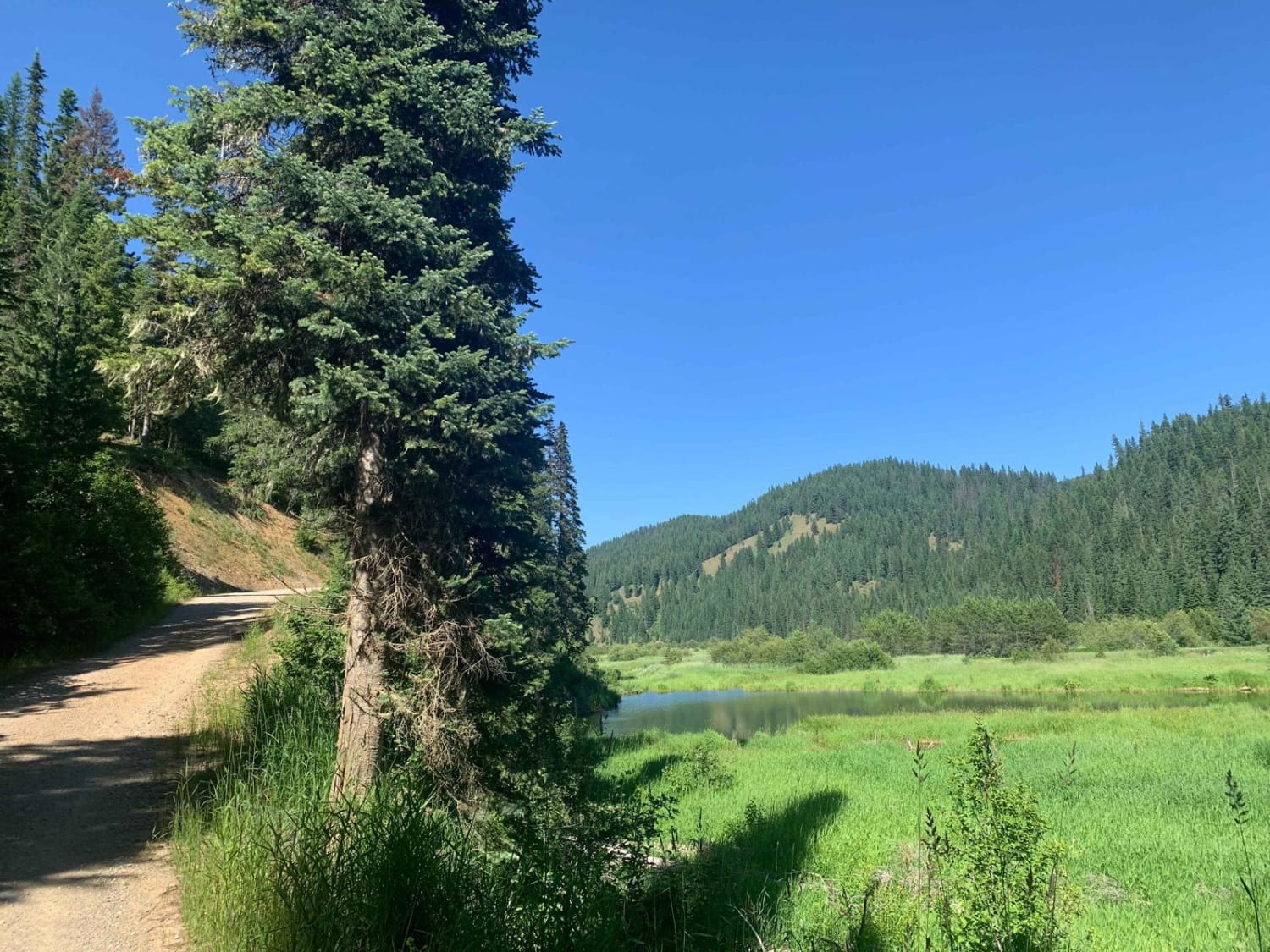
Leiberg Magee (422)
Total Miles
12.9
Tech Rating
Easy
Best Time
Summer, Fall
Learn more about Leslie to Mackay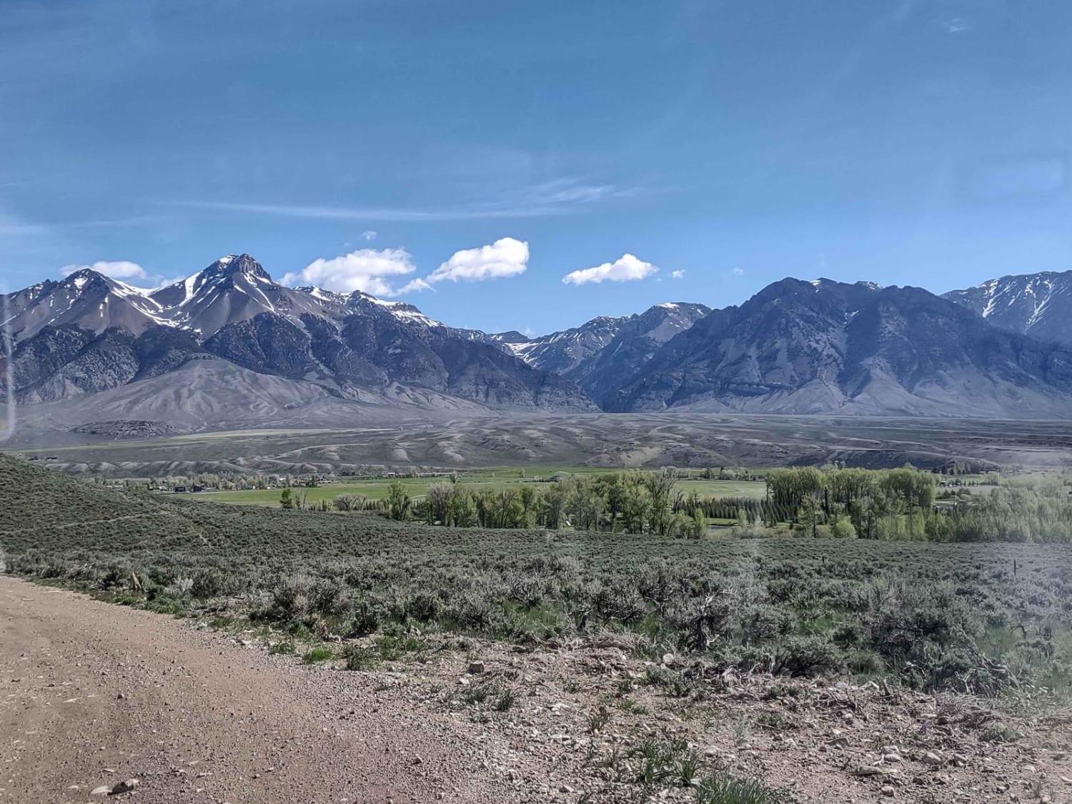
Leslie to Mackay
Total Miles
11.0
Tech Rating
Easy
Best Time
Spring, Summer, Fall
Learn more about Leslie, ID, to Mackay
Leslie, ID, to Mackay
Total Miles
11.0
Tech Rating
Easy
Best Time
Spring, Summer, Fall
Learn more about Lick Creek - FS 50143
Lick Creek - FS 50143
Total Miles
6.3
Tech Rating
Easy
Best Time
Spring, Summer, Fall, Winter
Learn more about Lick Gulch 
Lick Gulch
Total Miles
2.3
Tech Rating
Moderate
Best Time
Fall, Summer, Spring
Learn more about Lightning Creek
Lightning Creek
Total Miles
16.6
Tech Rating
Easy
Best Time
Fall, Summer, Spring
Learn more about Lime Creek to Iron Mountain Lookout 
Lime Creek to Iron Mountain Lookout
Total Miles
21.0
Tech Rating
Difficult
Best Time
Spring, Summer, Fall
Learn more about Little Basin Creek 
Little Basin Creek
Total Miles
2.7
Tech Rating
Easy
Best Time
Summer, Fall
ATV trails in Idaho
Learn more about Aspen Range - Middle Sulphur #5248 
Aspen Range - Middle Sulphur #5248
Total Miles
1.9
Tech Rating
Easy
Best Time
Summer, Fall
Learn more about Dry Fork - Meadow Springs #5226 
Dry Fork - Meadow Springs #5226
Total Miles
0.4
Tech Rating
Easy
Best Time
Summer, Fall
Learn more about South Foothill Road
South Foothill Road
Total Miles
8.2
Tech Rating
Moderate
Best Time
Summer, Fall

UTV/side-by-side trails in Idaho
Learn more about South Foothill Road
South Foothill Road
Total Miles
8.2
Tech Rating
Moderate
Best Time
Summer, Fall

Learn more about 21 To Nip & Tuck
21 To Nip & Tuck
Total Miles
1.4
Tech Rating
Easy
Best Time
Fall, Summer, Spring

The onX Offroad Difference
onX Offroad combines trail photos, descriptions, difficulty ratings, width restrictions, seasonality, and more in a user-friendly interface. Available on all devices, with offline access and full compatibility with CarPlay and Android Auto. Discover what you’re missing today!