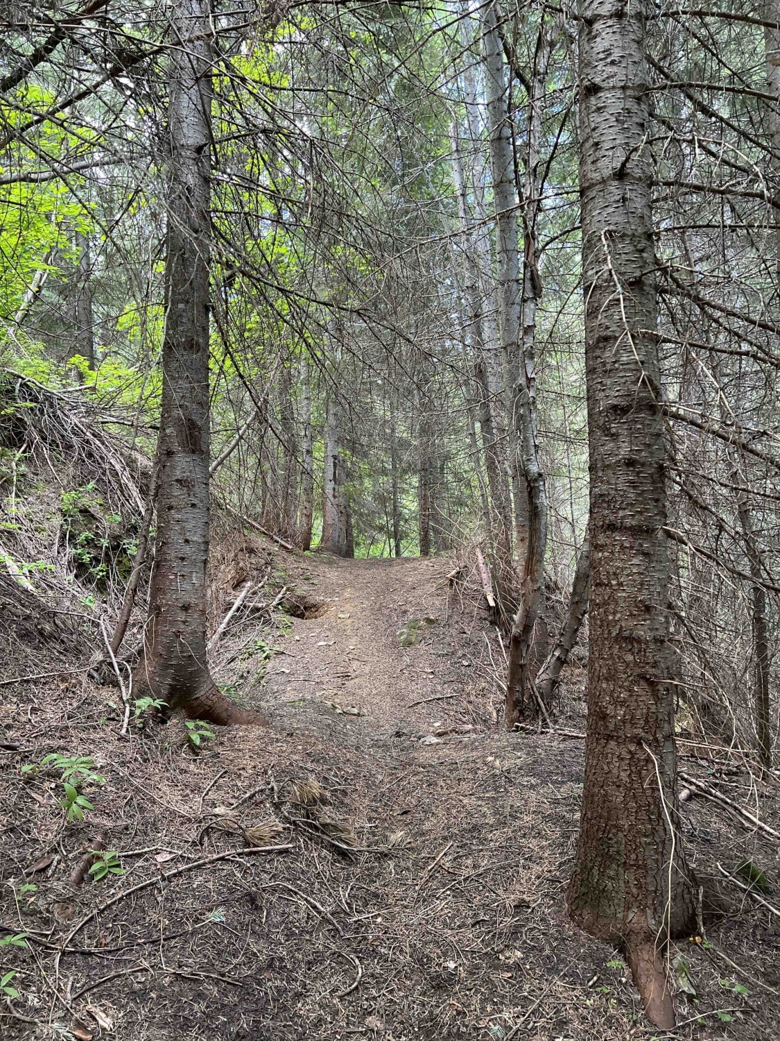
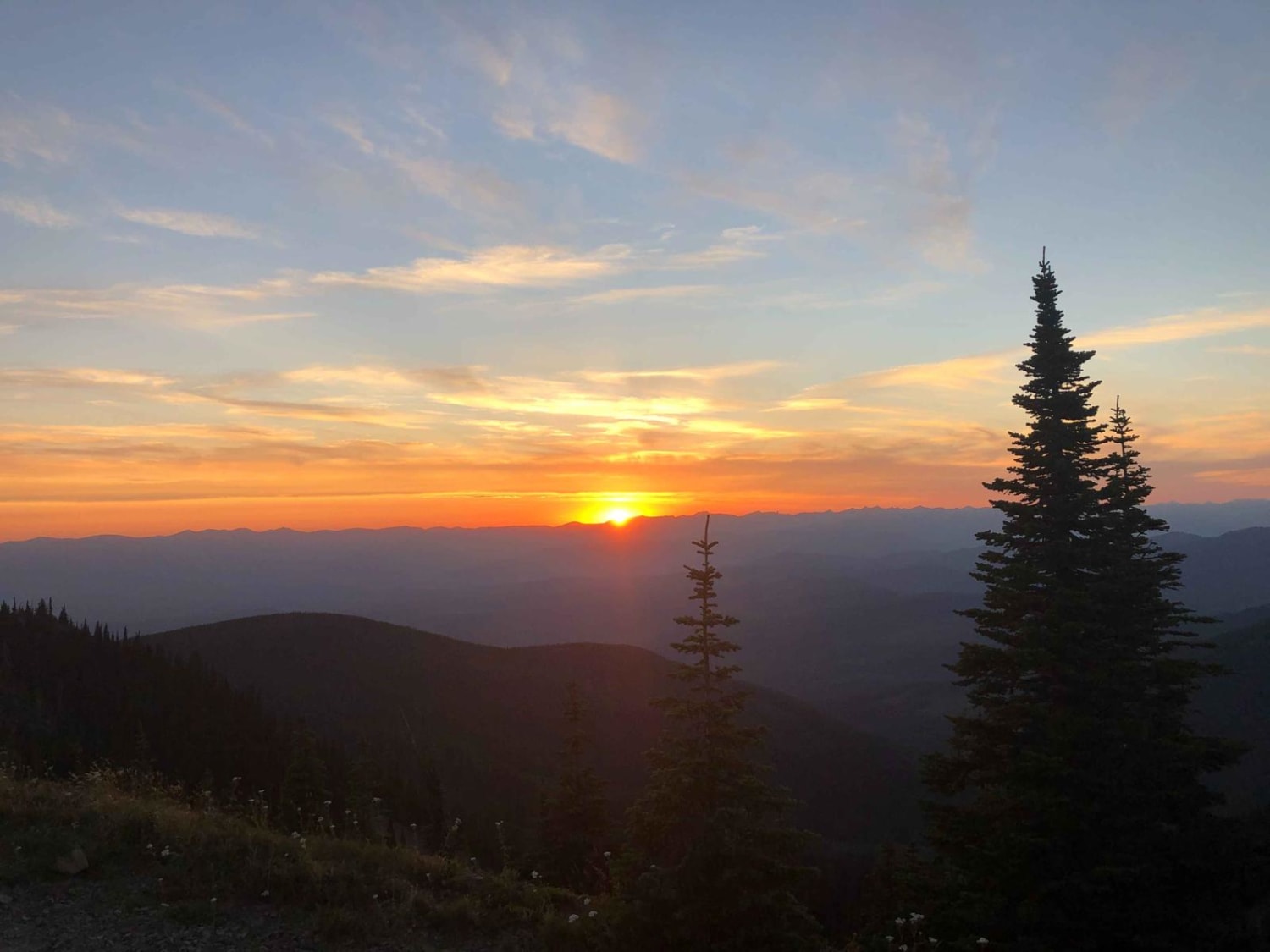
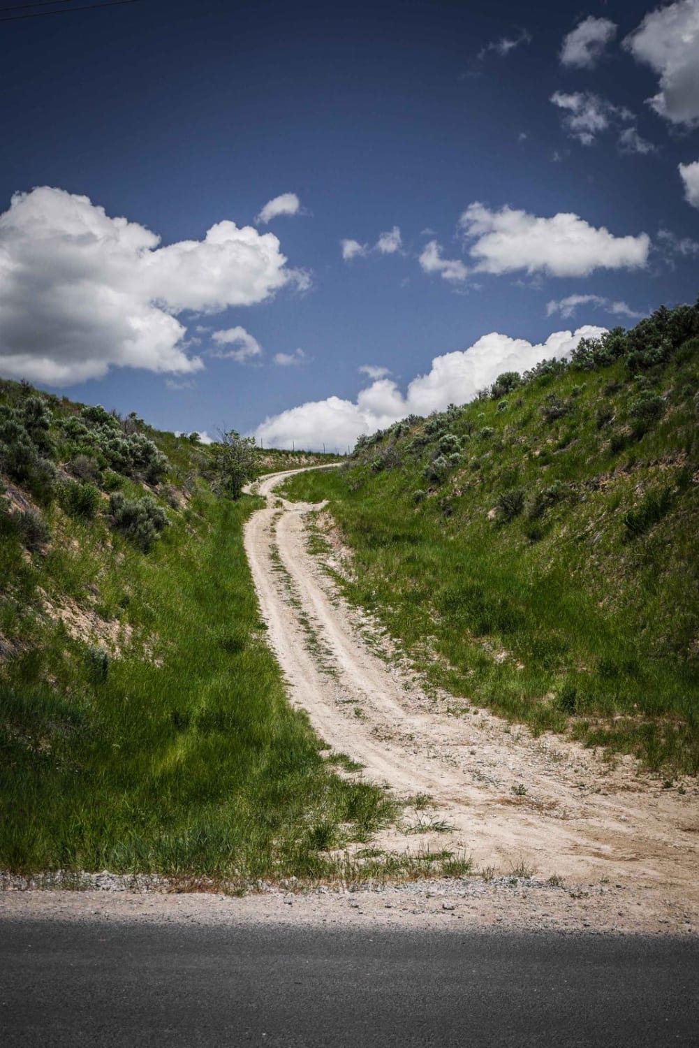
Off-Road Trails in Idaho
Discover off-road trails in Idaho
Learn more about Lucky Swede ATV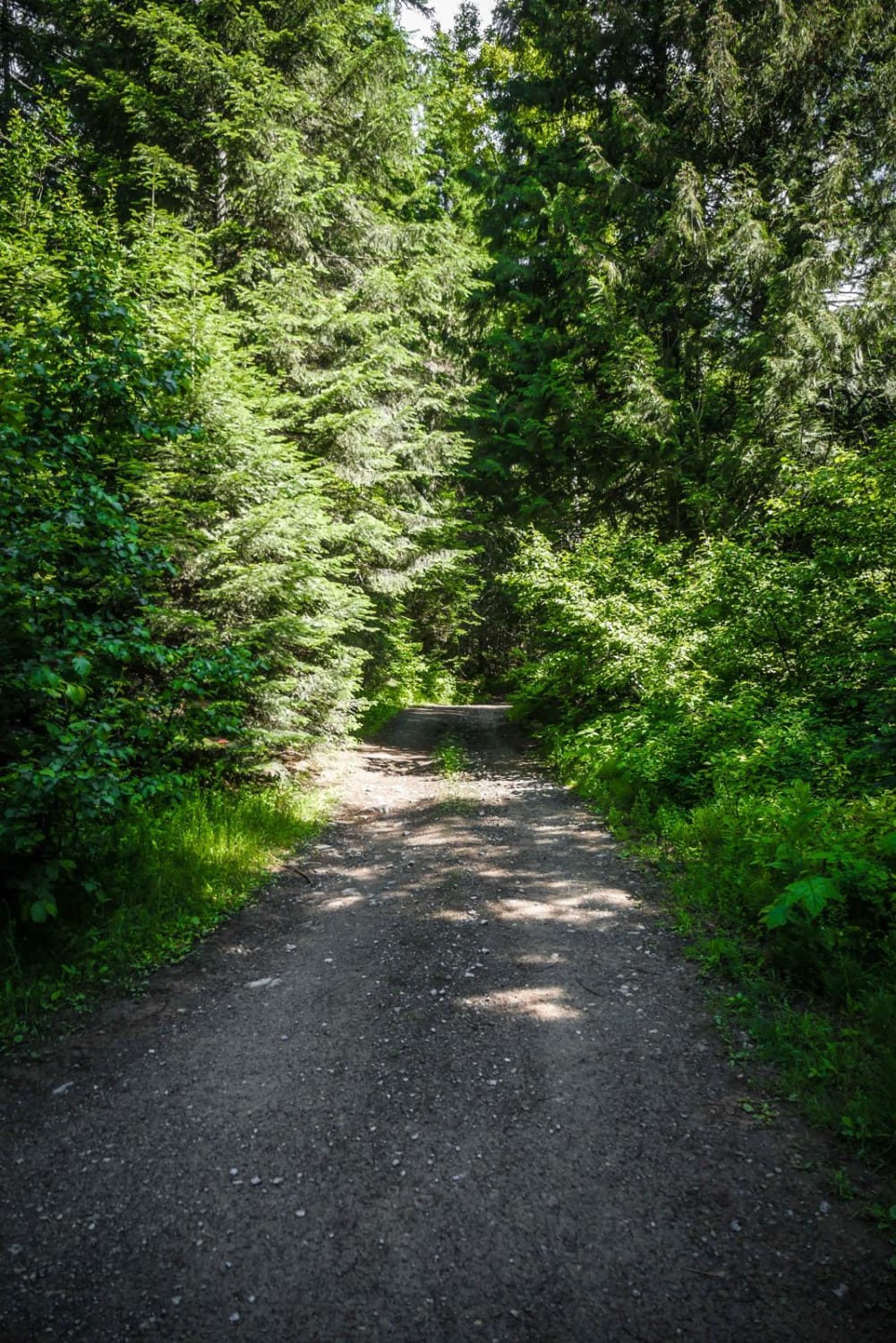
Lucky Swede ATV
Total Miles
1.3
Tech Rating
Easy
Best Time
Fall, Summer, Spring
Learn more about Lupine Gulch
Lupine Gulch
Total Miles
3.0
Tech Rating
Moderate
Best Time
Spring, Summer, Fall
Learn more about Mackay Mine Hill Bypass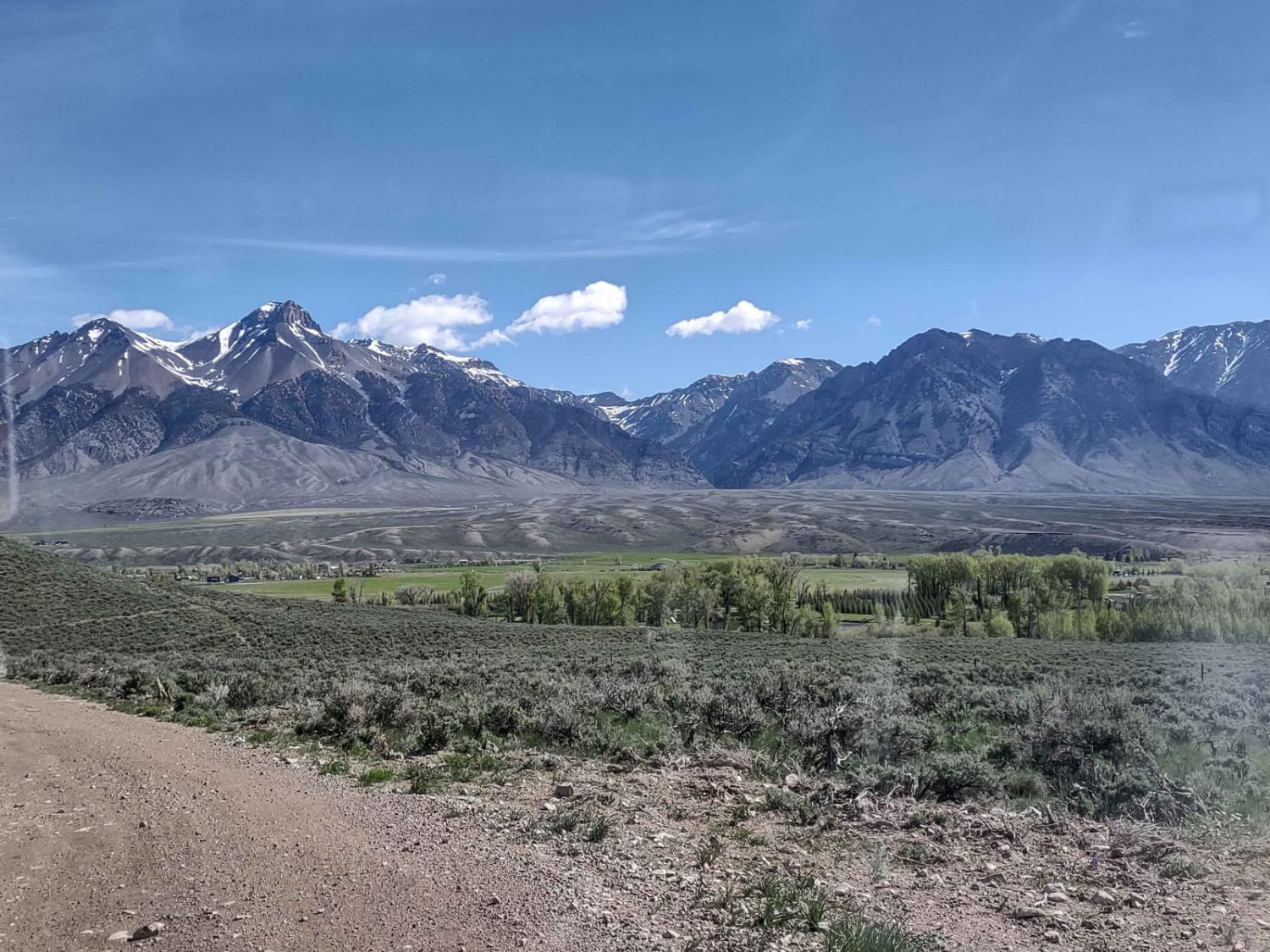
Mackay Mine Hill Bypass
Total Miles
2.3
Tech Rating
Easy
Best Time
Spring, Summer, Fall
Learn more about Mackay Mine Hill Tour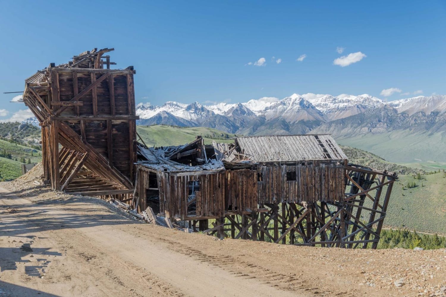
Mackay Mine Hill Tour
Total Miles
10.7
Tech Rating
Moderate
Best Time
Spring, Winter, Fall

Learn more about Mahogany Peak
Mahogany Peak
Total Miles
22.6
Tech Rating
Easy
Best Time
Summer, Fall, Winter, Spring
Learn more about Mahoney - Lodgepole Connector 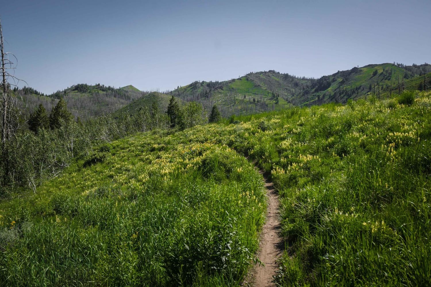
Mahoney - Lodgepole Connector
Total Miles
1.1
Tech Rating
Moderate
Best Time
Fall, Summer, Spring
Learn more about Mahoney Butte 
Mahoney Butte
Total Miles
5.7
Tech Rating
Moderate
Best Time
Fall, Summer, Spring
Learn more about Mahoney Greenhorn 
Mahoney Greenhorn
Total Miles
9.5
Tech Rating
Moderate
Best Time
Fall, Summer, Spring
Learn more about Mahoney Ridge 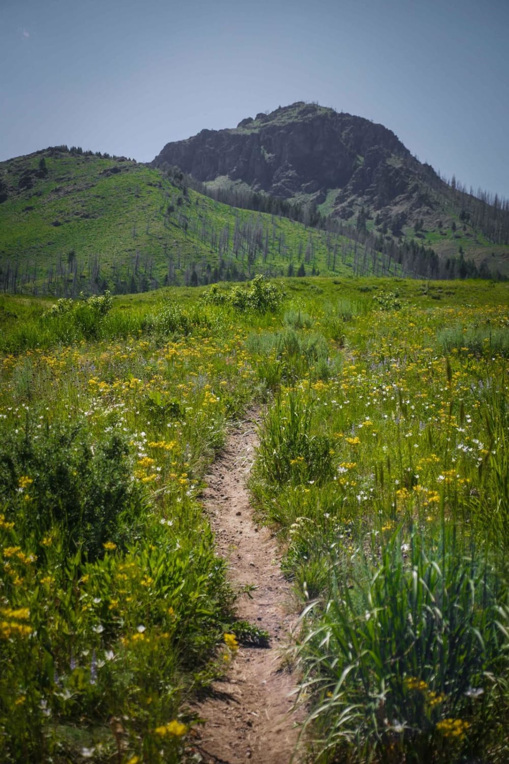
Mahoney Ridge
Total Miles
3.3
Tech Rating
Moderate
Best Time
Fall, Summer, Spring
Learn more about Malad Loop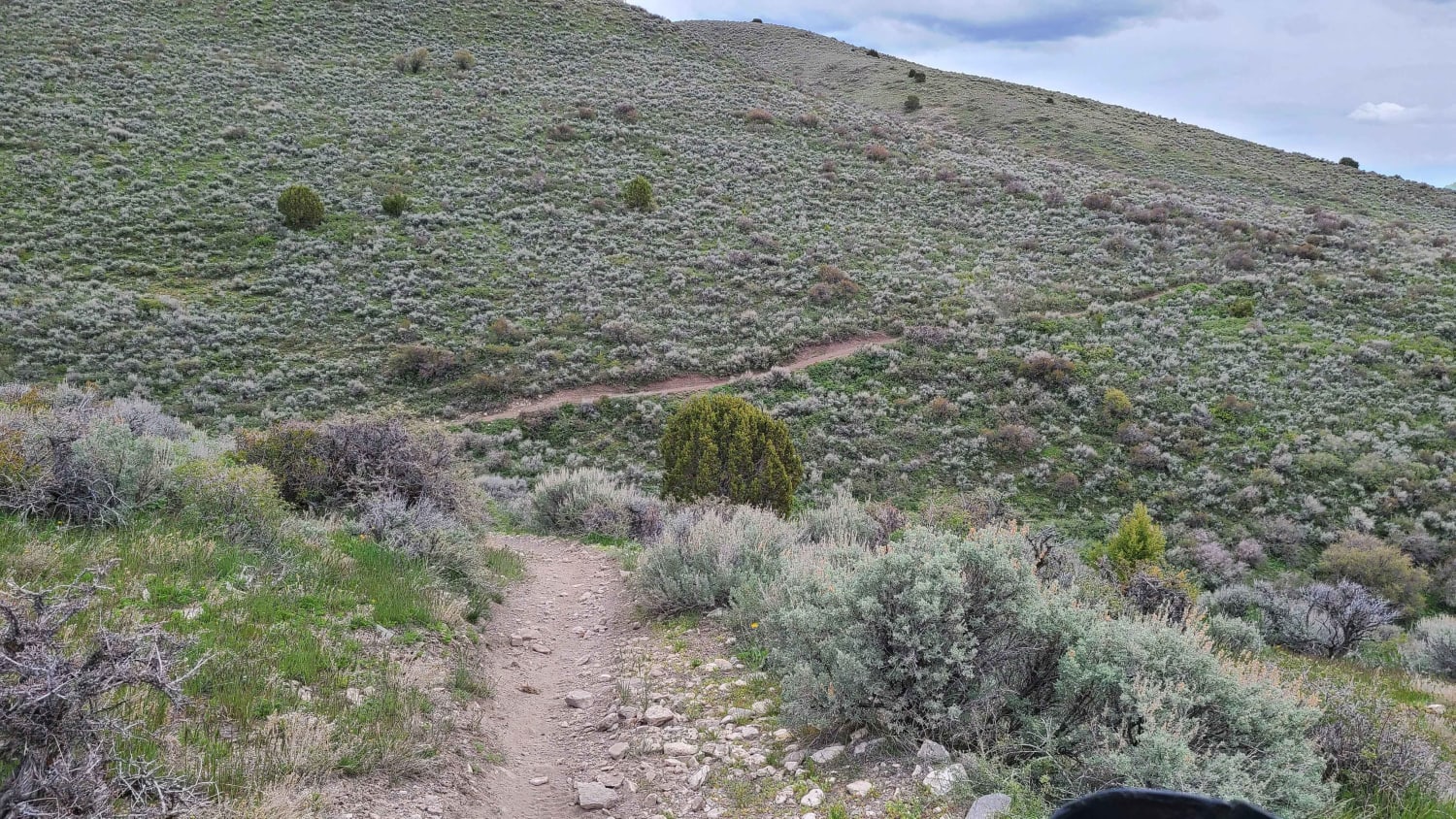
Malad Loop
Total Miles
51.7
Tech Rating
Moderate
Best Time
Spring, Summer, Fall
Learn more about Maple to Sugar Creek
Maple to Sugar Creek
Total Miles
2.6
Tech Rating
Moderate
Best Time
Summer, Fall, Spring
Learn more about Marie Saddle (413)
Marie Saddle (413)
Total Miles
12.3
Tech Rating
Easy
Best Time
Summer, Fall
Learn more about Market Canal Road
Market Canal Road
Total Miles
1.2
Tech Rating
Easy
Best Time
Spring, Fall, Summer, Winter
Learn more about Marsh Creek Scenic Trail
Marsh Creek Scenic Trail
Total Miles
8.3
Tech Rating
Easy
Best Time
Fall, Summer, Spring
Learn more about Matt's Gulch 
Matt's Gulch
Total Miles
1.0
Tech Rating
Easy
Best Time
Fall, Winter, Summer, Spring
ATV trails in Idaho
Learn more about Aspen Range - Middle Sulphur #5248 
Aspen Range - Middle Sulphur #5248
Total Miles
1.9
Tech Rating
Easy
Best Time
Summer, Fall
Learn more about Dry Fork - Meadow Springs #5226 
Dry Fork - Meadow Springs #5226
Total Miles
0.4
Tech Rating
Easy
Best Time
Summer, Fall
Learn more about South Foothill Road
South Foothill Road
Total Miles
8.2
Tech Rating
Moderate
Best Time
Summer, Fall

UTV/side-by-side trails in Idaho
Learn more about South Foothill Road
South Foothill Road
Total Miles
8.2
Tech Rating
Moderate
Best Time
Summer, Fall

Learn more about 21 To Nip & Tuck
21 To Nip & Tuck
Total Miles
1.4
Tech Rating
Easy
Best Time
Fall, Summer, Spring

The onX Offroad Difference
onX Offroad combines trail photos, descriptions, difficulty ratings, width restrictions, seasonality, and more in a user-friendly interface. Available on all devices, with offline access and full compatibility with CarPlay and Android Auto. Discover what you’re missing today!