Off-Road Trails in Idaho
Discover off-road trails in Idaho
Learn more about North Fork St. Charles
North Fork St. Charles
Total Miles
4.3
Tech Rating
Moderate
Best Time
Summer, Fall
Learn more about North Grove Creek
North Grove Creek
Total Miles
1.0
Tech Rating
Easy
Best Time
Summer, Fall
Learn more about North Middle #3443 
North Middle #3443
Total Miles
1.2
Tech Rating
Easy
Best Time
Summer, Fall
Learn more about North Mill Creek 50150
North Mill Creek 50150
Total Miles
9.7
Tech Rating
Easy
Best Time
Spring, Summer, Fall
Learn more about North Rim - Jerome
North Rim - Jerome
Total Miles
1.5
Tech Rating
Easy
Best Time
Spring, Summer, Fall, Winter
Learn more about North Sulfur- Sulfur Johnson #5244
North Sulfur- Sulfur Johnson #5244
Total Miles
2.5
Tech Rating
Moderate
Best Time
Summer, Fall
Learn more about North Sulphur Canyon #5245 
North Sulphur Canyon #5245
Total Miles
0.7
Tech Rating
Easy
Best Time
Summer, Fall
Learn more about North Weston Peak 7444
North Weston Peak 7444
Total Miles
1.4
Tech Rating
Moderate
Best Time
Fall, Summer, Spring
Learn more about North Wilson #3348
North Wilson #3348
Total Miles
2.4
Tech Rating
Moderate
Best Time
Summer, Fall
Learn more about Northfork Eightmile Trail
Northfork Eightmile Trail
Total Miles
4.1
Tech Rating
Easy
Best Time
Summer, Fall
Learn more about NR 019 - Bear Creek Saddle
NR 019 - Bear Creek Saddle
Total Miles
7.5
Tech Rating
Easy
Best Time
Fall, Summer, Spring
Learn more about NSFDR 985 Slate Creek Bypass
NSFDR 985 Slate Creek Bypass
Total Miles
2.7
Tech Rating
Moderate
Best Time
Spring, Summer, Fall
Learn more about Nut Basin - FR 441
Nut Basin - FR 441
Total Miles
0.3
Tech Rating
Easy
Best Time
Spring, Summer, Fall
Learn more about O'Brien Camping on the Salmon River
O'Brien Camping on the Salmon River
Total Miles
1.6
Tech Rating
Easy
Best Time
Summer, Fall
Learn more about Old Baldy Connector 7438 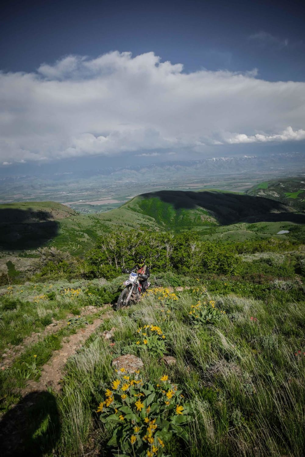
Old Baldy Connector 7438
Total Miles
2.9
Tech Rating
Moderate
Best Time
Spring, Summer, Fall

Learn more about Old Highway Rd Loop
Old Highway Rd Loop
Total Miles
4.4
Tech Rating
Easy
Best Time
Spring, Summer, Fall
Learn more about Old Logan Road
Old Logan Road
Total Miles
4.2
Tech Rating
Easy
Best Time
Spring, Summer, Fall
ATV trails in Idaho
Learn more about Aspen Range - Middle Sulphur #5248 
Aspen Range - Middle Sulphur #5248
Total Miles
1.9
Tech Rating
Easy
Best Time
Summer, Fall
Learn more about Dry Fork - Meadow Springs #5226 
Dry Fork - Meadow Springs #5226
Total Miles
0.4
Tech Rating
Easy
Best Time
Summer, Fall
Learn more about South Foothill Road
South Foothill Road
Total Miles
8.2
Tech Rating
Moderate
Best Time
Summer, Fall

UTV/side-by-side trails in Idaho
Learn more about South Foothill Road
South Foothill Road
Total Miles
8.2
Tech Rating
Moderate
Best Time
Summer, Fall

Learn more about 21 To Nip & Tuck
21 To Nip & Tuck
Total Miles
1.4
Tech Rating
Easy
Best Time
Fall, Summer, Spring

The onX Offroad Difference
onX Offroad combines trail photos, descriptions, difficulty ratings, width restrictions, seasonality, and more in a user-friendly interface. Available on all devices, with offline access and full compatibility with CarPlay and Android Auto. Discover what you’re missing today!