North Rim - Jerome
Total Miles
1.5
Technical Rating
Best Time
Spring, Summer, Fall, Winter
Trail Type
Full-Width Road
Accessible By
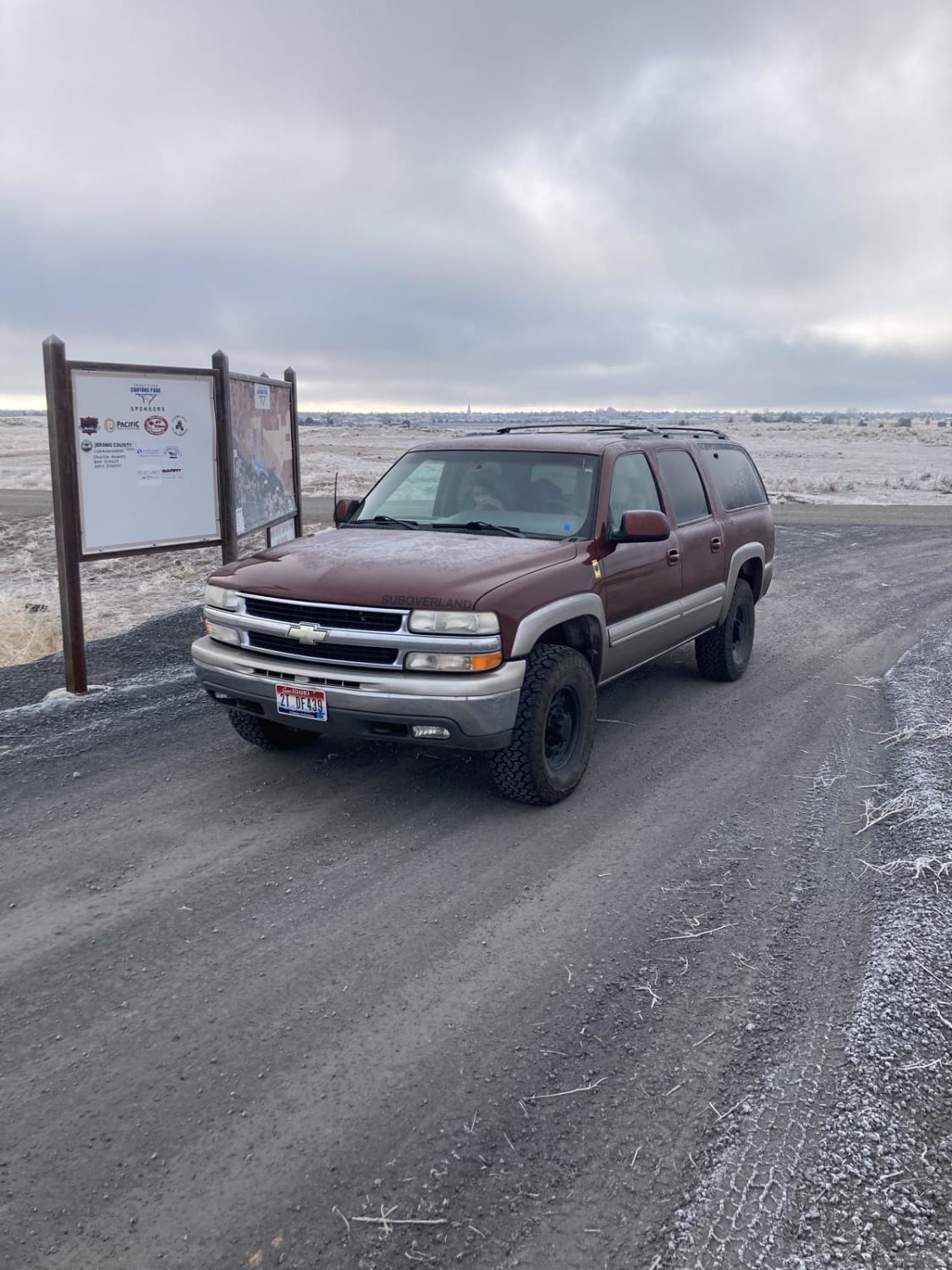
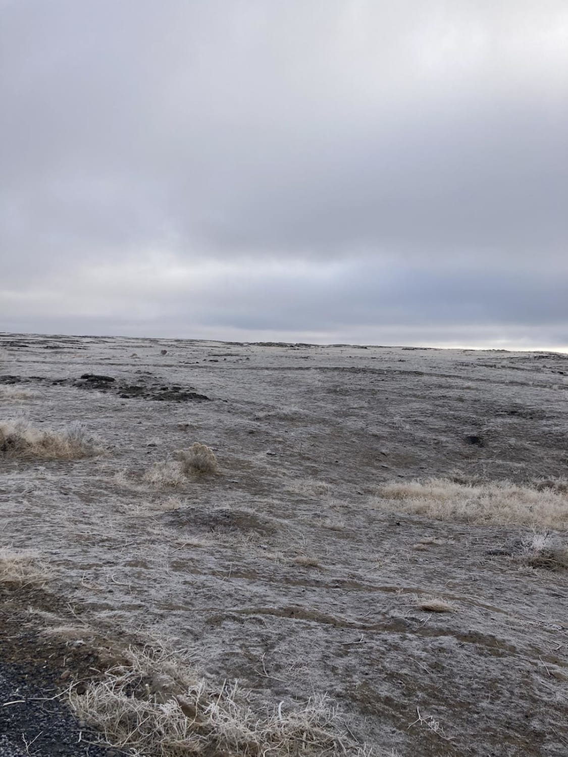
Trail Overview
This is one section of the vast trail network north of Twin Falls, south of Jerome, along the Snake River Canyon. Very popular with all types of trail riders, it is accessible for almost the whole year, a rarity in snowy Idaho. Keep an eye out for the plentiful lava rock formations.
Photos of North Rim - Jerome
Difficulty
Very easy trail.
Status Reports
North Rim - Jerome can be accessed by the following ride types:
- SUV
North Rim - Jerome Map
Popular Trails
Summit Canyon

Trinity Lakes Mountain Trail

Kleinschmidt Grade - NFD 105
The onX Offroad Difference
onX Offroad combines trail photos, descriptions, difficulty ratings, width restrictions, seasonality, and more in a user-friendly interface. Available on all devices, with offline access and full compatibility with CarPlay and Android Auto. Discover what you’re missing today!