North Fork St. Charles
Total Miles
4.3
Technical Rating
Best Time
Summer, Fall
Trail Type
Single Track
Accessible By
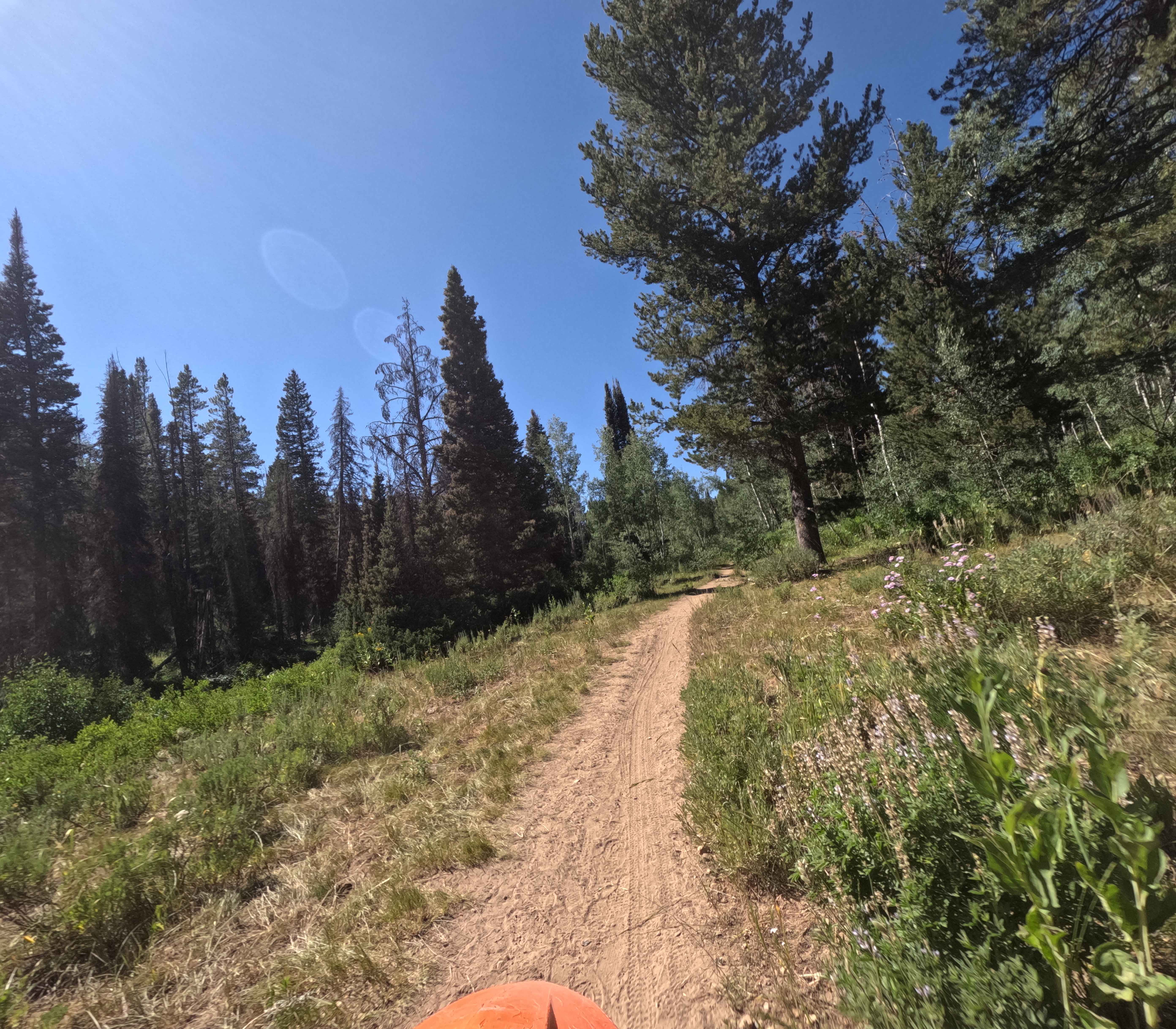
Trail Overview
North Fork St. Charles (Trail 3318) is a 4.3-mile-long track near Bloomington Lake, in the Bear River Range. It starts at the North Fork Motorized Trailhead off of St Charles Road and climbs 1,600 feet North West to the Highline Trail. The lower half of this trail is shared with hikers and mountain bikers. It's extra wide and well groomed. There are barely any rocks here. Near midway, the trail splits and Snowslide breaks off to the West. The track continues gaining elevation and eventually leaves the woods. It becomes rocky and winding as you near the intersection with Highline.
Photos of North Fork St. Charles

Difficulty
The South East part of the trail is very easy. The difficulty increases as you gain elevation and the trail becomes rockier.
Status Reports
North Fork St. Charles can be accessed by the following ride types:
- Dirt Bike
North Fork St. Charles Map
Popular Trails

Potter Creek - FS 911
Dam Ridge ATV
The onX Offroad Difference
onX Offroad combines trail photos, descriptions, difficulty ratings, width restrictions, seasonality, and more in a user-friendly interface. Available on all devices, with offline access and full compatibility with CarPlay and Android Auto. Discover what you’re missing today!