Off-Road Trails in Idaho
Discover off-road trails in Idaho
Learn more about Old Man Ridge
Old Man Ridge
Total Miles
1.8
Tech Rating
Moderate
Best Time
Spring, Summer, Fall
Learn more about Old Stage Road - Salmon River Idaho
Old Stage Road - Salmon River Idaho
Total Miles
1.7
Tech Rating
Easy
Best Time
Spring, Summer, Fall
Learn more about Oneida Narrows Reservoir
Oneida Narrows Reservoir
Total Miles
14.7
Tech Rating
Easy
Best Time
Spring, Summer, Fall, Winter
Learn more about Oregon Gulch to Fox Peak 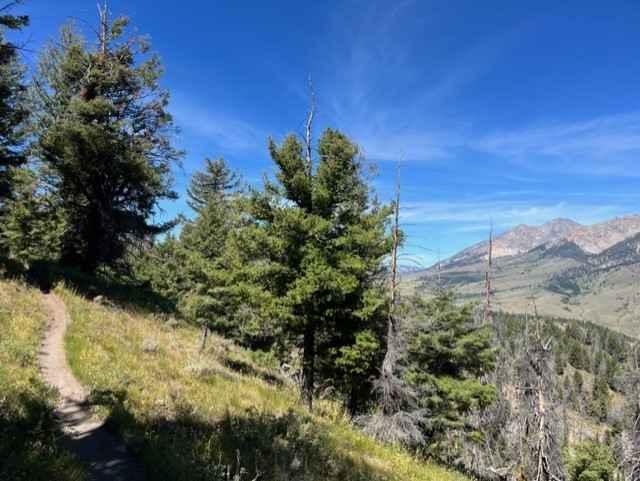
Oregon Gulch to Fox Peak
Total Miles
11.1
Tech Rating
Moderate
Best Time
Spring, Summer, Fall
Learn more about Oregon Toboggan Road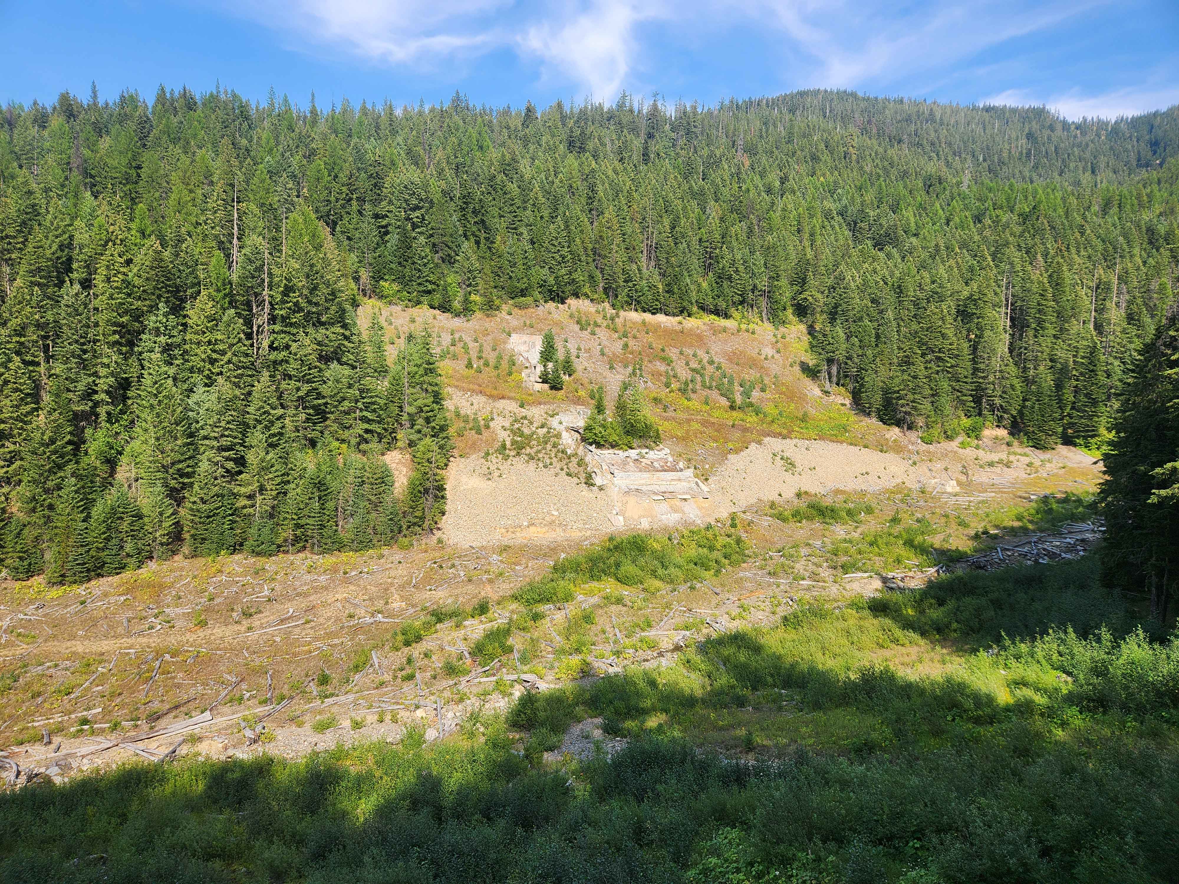
Oregon Toboggan Road
Total Miles
14.0
Tech Rating
Easy
Best Time
Summer
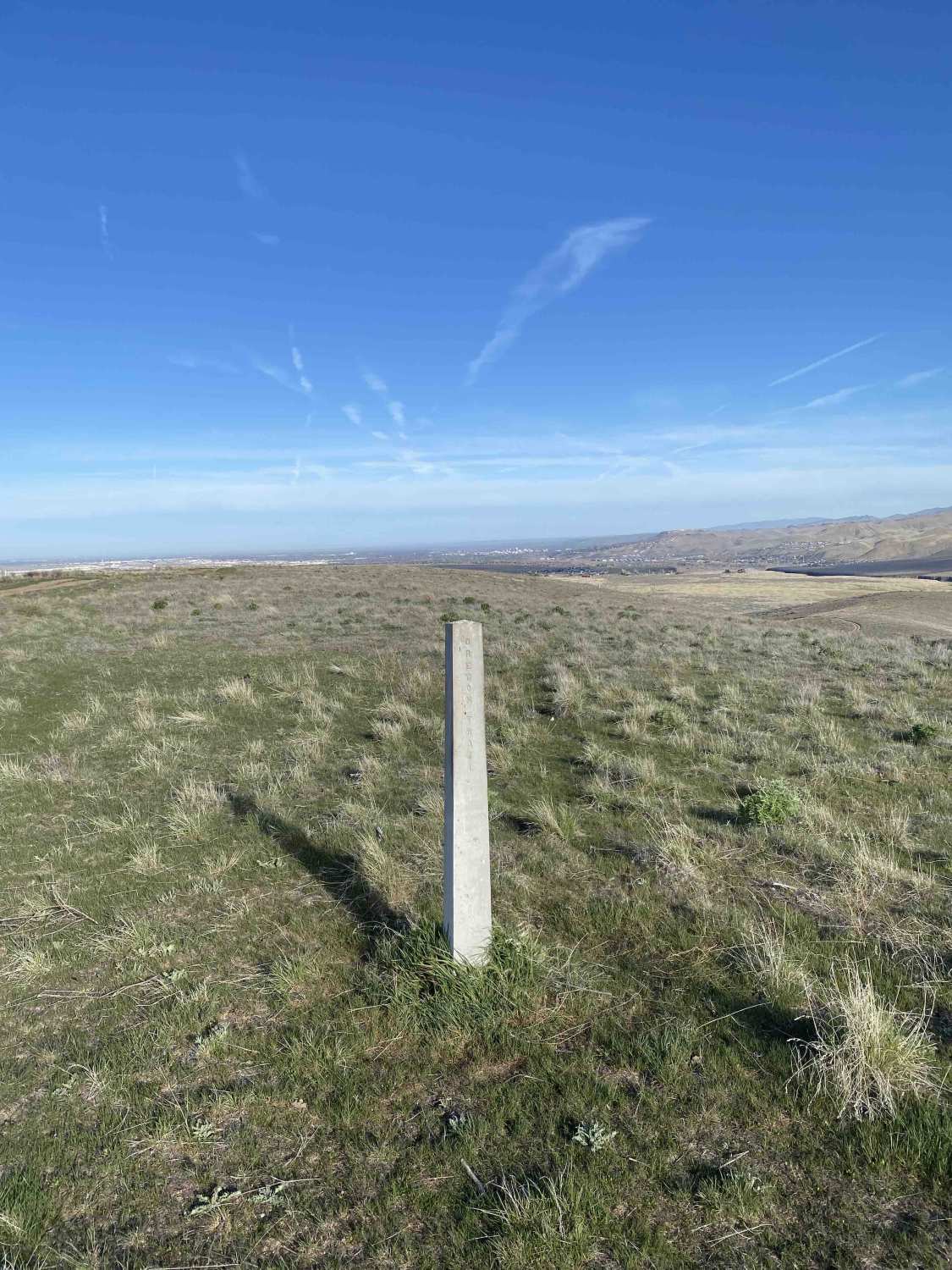
Learn more about Oregon/California Parting of the Ways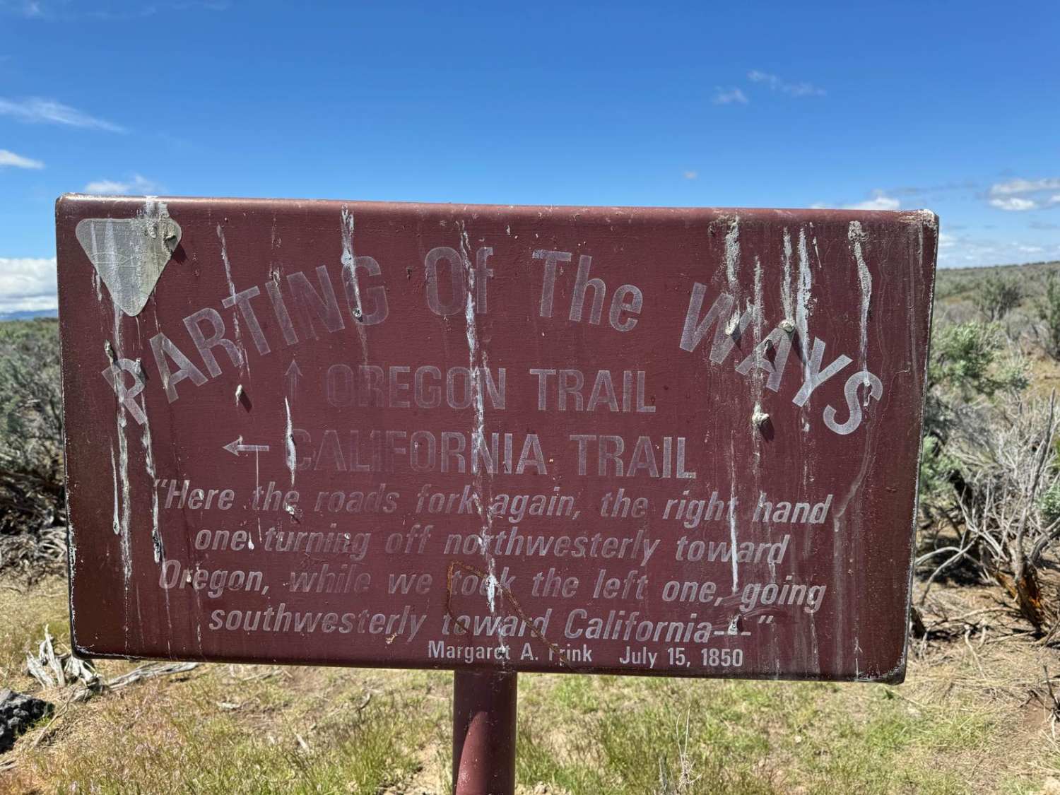
Oregon/California Parting of the Ways
Total Miles
5.8
Tech Rating
Easy
Best Time
Spring, Summer, Fall
Learn more about Osberg Ridgeline Trail - FS 7147
Osberg Ridgeline Trail - FS 7147
Total Miles
11.0
Tech Rating
Moderate
Best Time
Summer, Fall
Learn more about Oxford Peak Loop
Oxford Peak Loop
Total Miles
23.1
Tech Rating
Moderate
Best Time
Spring, Summer, Fall, Winter
Learn more about Pack River Cruise
Pack River Cruise
Total Miles
4.8
Tech Rating
Easy
Best Time
Spring, Summer, Fall
Learn more about Packsaddle Lake
Packsaddle Lake
Total Miles
12.3
Tech Rating
Moderate
Best Time
Fall, Summer
Learn more about Pahisimaroi Connection
Pahisimaroi Connection
Total Miles
4.5
Tech Rating
Easy
Best Time
Spring, Summer, Fall
Learn more about Palouse Divide East - FS 377
Palouse Divide East - FS 377
Total Miles
28.6
Tech Rating
Easy
Best Time
Spring, Summer, Fall
Learn more about Palouse Divide West - FS 377
Palouse Divide West - FS 377
Total Miles
14.9
Tech Rating
Easy
Best Time
Spring, Summer, Fall
Learn more about Palouse OHV Excavation Gulch - Akers
Palouse OHV Excavation Gulch - Akers
Total Miles
5.5
Tech Rating
Easy
Best Time
Fall, Summer
Learn more about Panhandle Overland Rally Official Offroad Course
Panhandle Overland Rally Official Offroad Course
Total Miles
0.6
Tech Rating
Moderate
Best Time
Fall
Learn more about Panhandle Overland Rally Scenic Loop
Panhandle Overland Rally Scenic Loop
Total Miles
4.0
Tech Rating
Easy
Best Time
Fall
Learn more about Panhandle Overland Rally Welcome Trail
Panhandle Overland Rally Welcome Trail
Total Miles
2.2
Tech Rating
Easy
Best Time
Fall
ATV trails in Idaho
Learn more about Aspen Range - Middle Sulphur #5248 
Aspen Range - Middle Sulphur #5248
Total Miles
1.9
Tech Rating
Easy
Best Time
Summer, Fall
Learn more about Dry Fork - Meadow Springs #5226 
Dry Fork - Meadow Springs #5226
Total Miles
0.4
Tech Rating
Easy
Best Time
Summer, Fall
Learn more about South Foothill Road
South Foothill Road
Total Miles
8.2
Tech Rating
Moderate
Best Time
Summer, Fall

UTV/side-by-side trails in Idaho
Learn more about South Foothill Road
South Foothill Road
Total Miles
8.2
Tech Rating
Moderate
Best Time
Summer, Fall

Learn more about 21 To Nip & Tuck
21 To Nip & Tuck
Total Miles
1.4
Tech Rating
Easy
Best Time
Fall, Summer, Spring

The onX Offroad Difference
onX Offroad combines trail photos, descriptions, difficulty ratings, width restrictions, seasonality, and more in a user-friendly interface. Available on all devices, with offline access and full compatibility with CarPlay and Android Auto. Discover what you’re missing today!