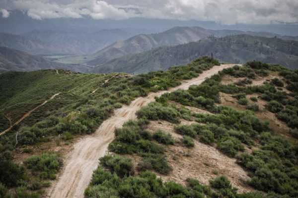
Trail Overview
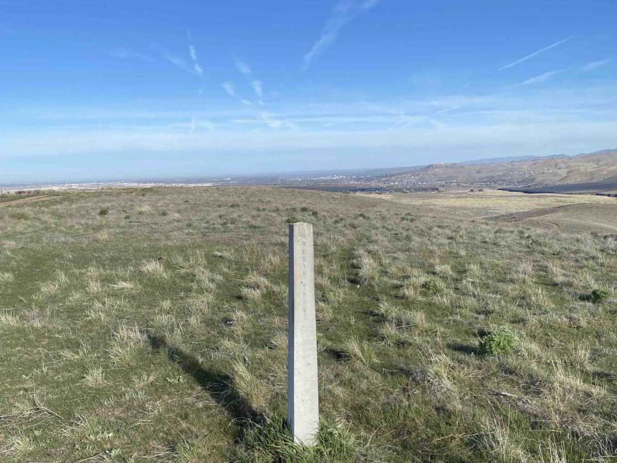
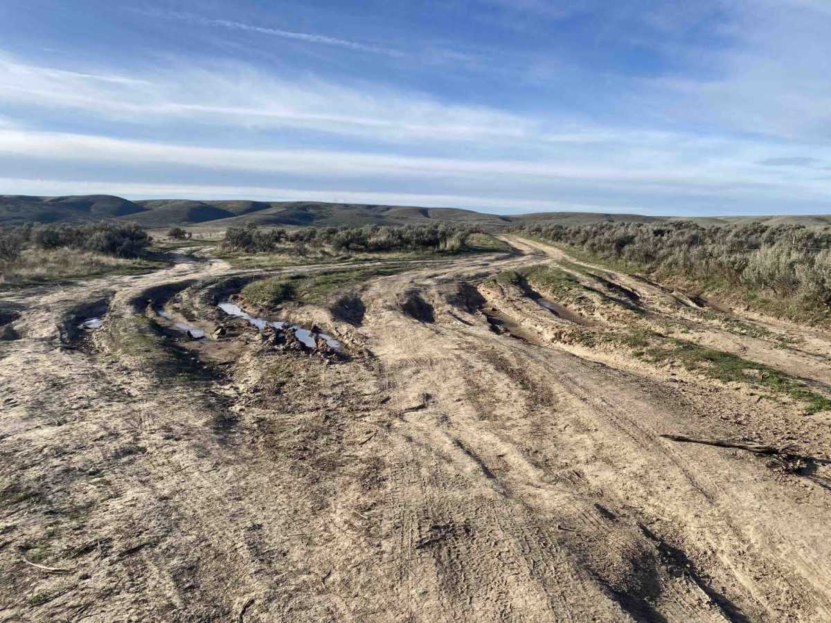
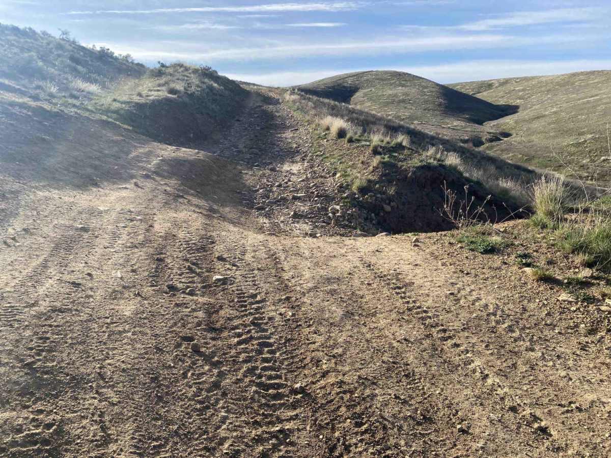
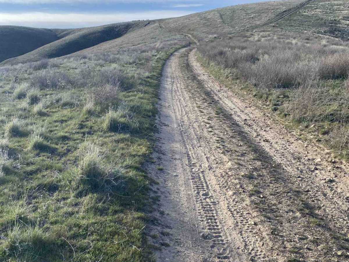
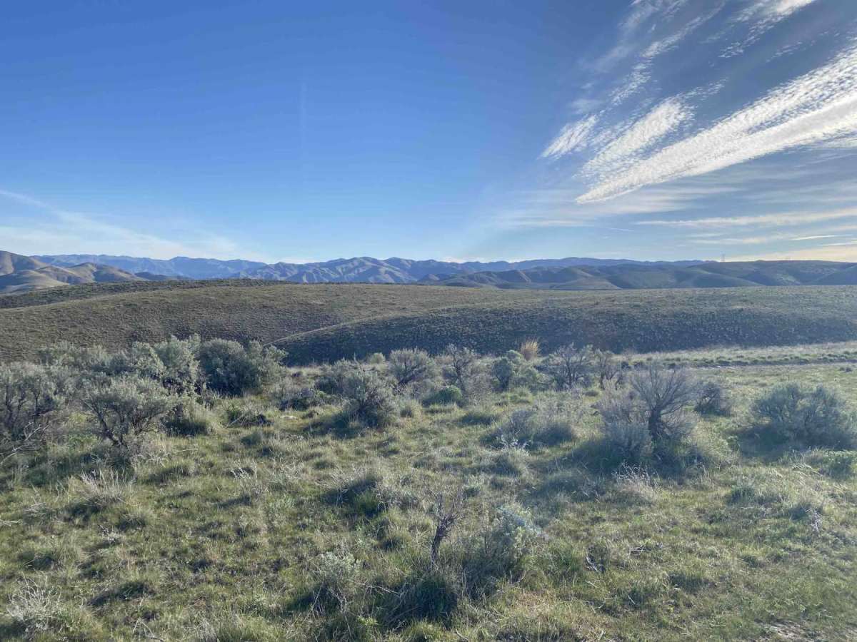
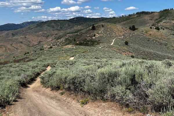
This trail packs a lot into a short distance, blending various terrain challenges with deep Idaho history. As you parallel the original Oregon Trail, you’ll encounter 4-foot cement pillars around the one-mile mark that officially designate the historic route. The first mile features deep ruts that often reach 12 inches in depth, while there are usually shallower lines to choose from. There is a spur trail that leads toward Lucky Peak Dam, but it is a dead end blocked by a locked gate. After navigating the ruts, the trail begins a steady ascent. This section is characterized by loose rocks and a notable washout at the halfway point that requires careful tire placement. Your efforts are quickly rewarded at the top of the first climb with a spectacular panoramic view back over the city of Boise. Following a second, final climb, the terrain mellows out significantly, offering an easy and scenic cruise the rest of the way to Bonneville Point.
Difficulty
The first three-quarters of this trail consists of a consistent mix of deep ruts and loose rock that persists until you clear the second major climb. While the obstacles are not overly technical or "extreme," the terrain requires constant attention and careful line selection—especially through the rutted sections. Once you reach the top of the second ascent, the trail levels out and becomes significantly smoother for the remainder of the trip.
History
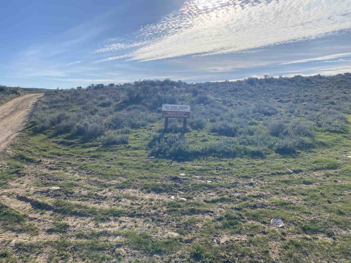
The Oregon Trail route through Boise followed the high desert plateau to avoid the thick brush and winding curves of the Boise River below. Bonneville Point is historically significant as the site where Captain Benjamin Bonneville’s 1833 expedition first viewed the lush, tree-lined valley after weeks of desert travel, reportedly prompting his French guides to shout, "Les Bois!" (The Woods!). Today, this location serves as a preserved overlook where modern travelers can see the original wagon ruts and experience the same panoramic view that gave the City of Trees its name.