Sinker Creek
Total Miles
18.5
Technical Rating
Best Time
Spring, Fall, Winter, Summer
Trail Type
Full-Width Road
Accessible By
Trail Overview
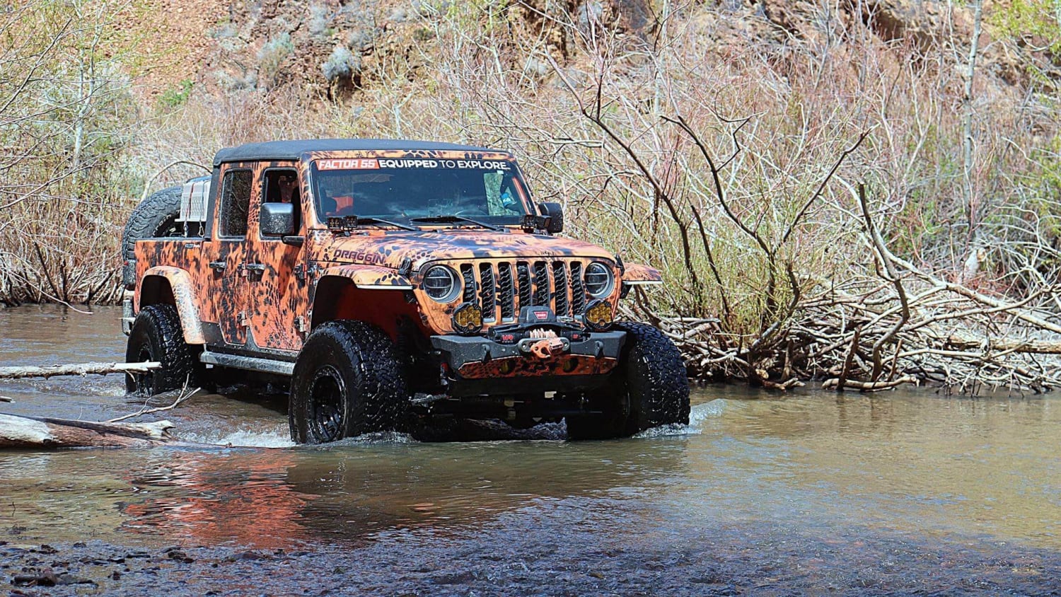
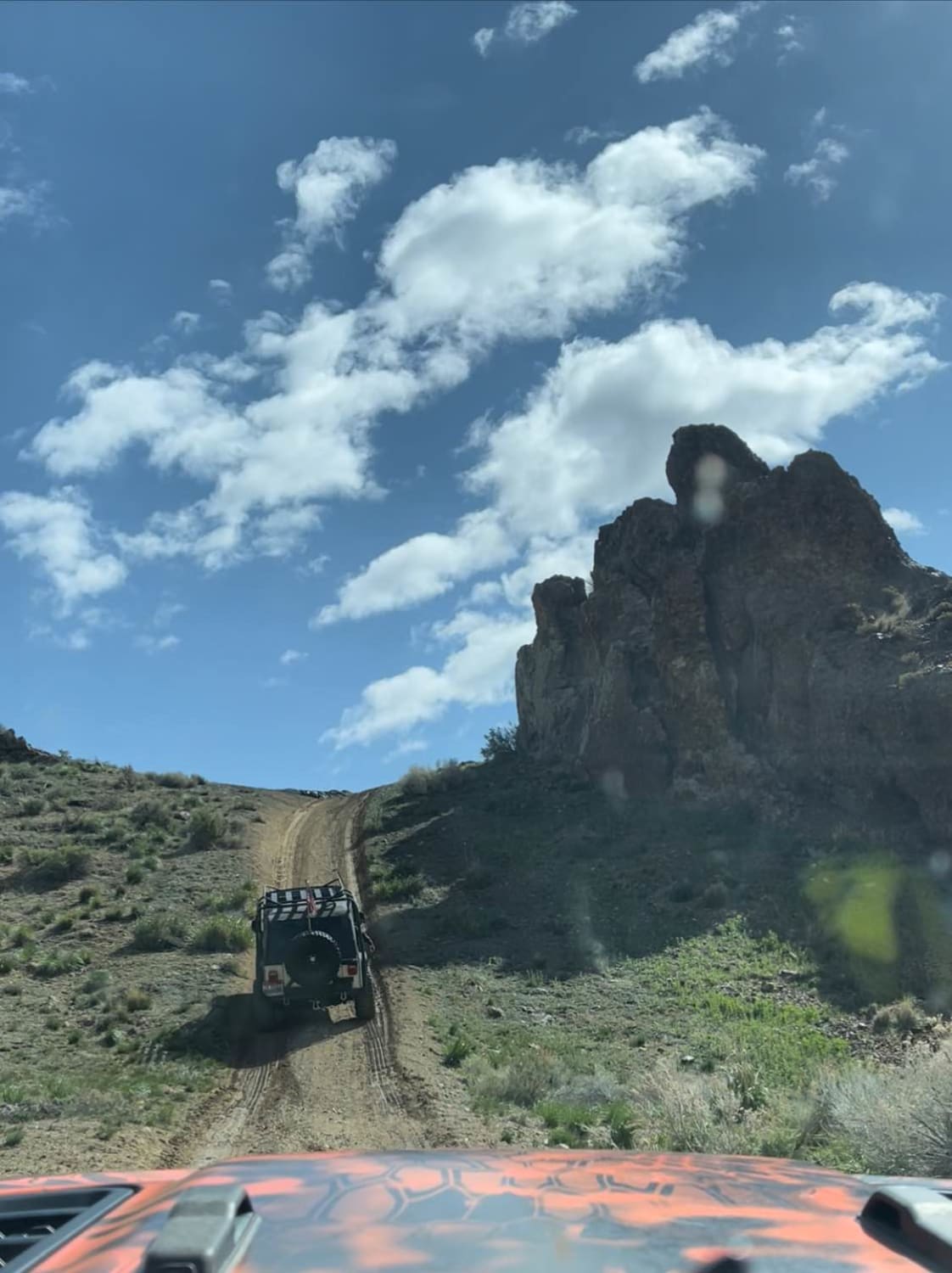
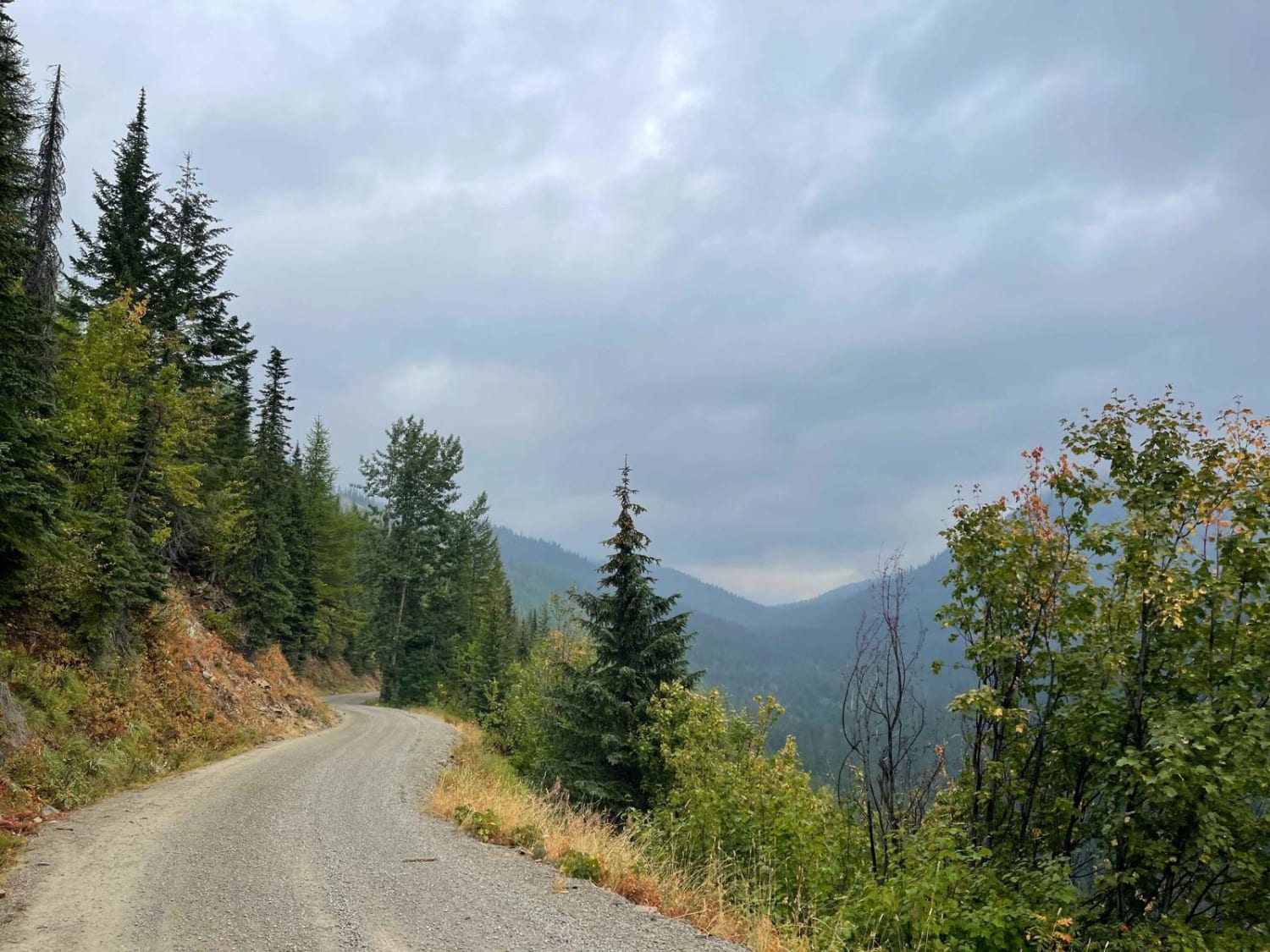
Expect over 50 water crossings, sand, dirt, mud, gravel, and large rocks. This trail has beavers, fish, deer, birds, and bugs as well as many types of rodents. Sinker Creek Trail 470 is a fun and beautiful ride through the Sinker Creek Canyon in Owyhee County, Idaho. Much of this area is desert and very dry most of the year with sagebrush, tumbleweeds, and many different trails. The trail is narrow! You will get pinstripes from the brush in the creekbed. Sinker Creek is at points a very deep canyon and often 10-20 degrees cooler than the desert above. This is a moderate-difficulty trail with rugged, rocky sand and dirt tracks that meander up the creek for miles. In parts, the trail is the creek and the two are one. In other spots, you must climb over large rocks both in and out of the creek. Sinker Creek varies drastically through the year. Some spots in early spring are very deep; especially late on a warm day, the water can rise 2 feet or more and the crossing becomes much deeper. Depending on your vehicle, it can become impassable. 4-Low is helpful due to the rocks you drive over in the creekbed. As the year goes on and the snow up higher on the mountains completely melts, the creek can become just a trickle. Sinker Creek can be done on motorcycles, SxSs, and full-size vehicles, including Jeeps. Stock Jeeps and pickups are not advisable. Winches are advised and it is not wise to do this trail alone. The views of the rocky canyon walls in Sinker Creek are beautiful and often stunning and seem to change colors depending on the angle of the sun and time of day. This is a fairly short ride and is popular with locals. There are spots for fishing and areas that are large and flat where you can park and take breaks. Sinker Creek is grazing land, so there are often cows and many gates that need to be closed after passing through. On weekdays, there are very few vehicles on the trail. The trail starts just off Silver City Road. There are many options to turn off the trail and climb out of the canyon to travel to other trails. Take note that parts of the trail are rather thin, in the range of 74 inches between trees or obstacles. Most of these thinner areas have alternate routes. You may see pickups along the trail, but these can typically only get in via side trails.
Photos of Sinker Creek
Difficulty
There are rocks in the creek that are large enough to need 4-Low. There are also a few areas of the trail that have washed out spots deep enough you need to crawl over them maybe using lockers. This depends totally on the rig you take.
History
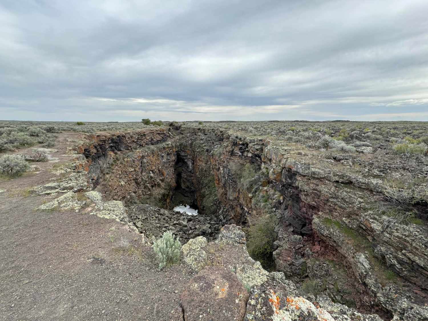
There is a reservoir at the end of the trail. It is not pretty, but there multiple trails you can take after the trail. The entire area is used for cattle. Also, there are some mining remnants along with wildlife in the area.
Status Reports
Sinker Creek can be accessed by the following ride types:
- High-Clearance 4x4
- SUV
- SxS (60")
- ATV (50")
- Dirt Bike
Sinker Creek Map
Popular Trails
Bear Trap/Crystal Ice Cave Trail
Trestle Creek Trail

Beauty Bay/Harrison
The onX Offroad Difference
onX Offroad combines trail photos, descriptions, difficulty ratings, width restrictions, seasonality, and more in a user-friendly interface. Available on all devices, with offline access and full compatibility with CarPlay and Android Auto. Discover what you’re missing today!