Palouse OHV Excavation Gulch - Akers
Total Miles
5.5
Technical Rating
Best Time
Fall, Summer
Trail Type
50" Trail
Accessible By
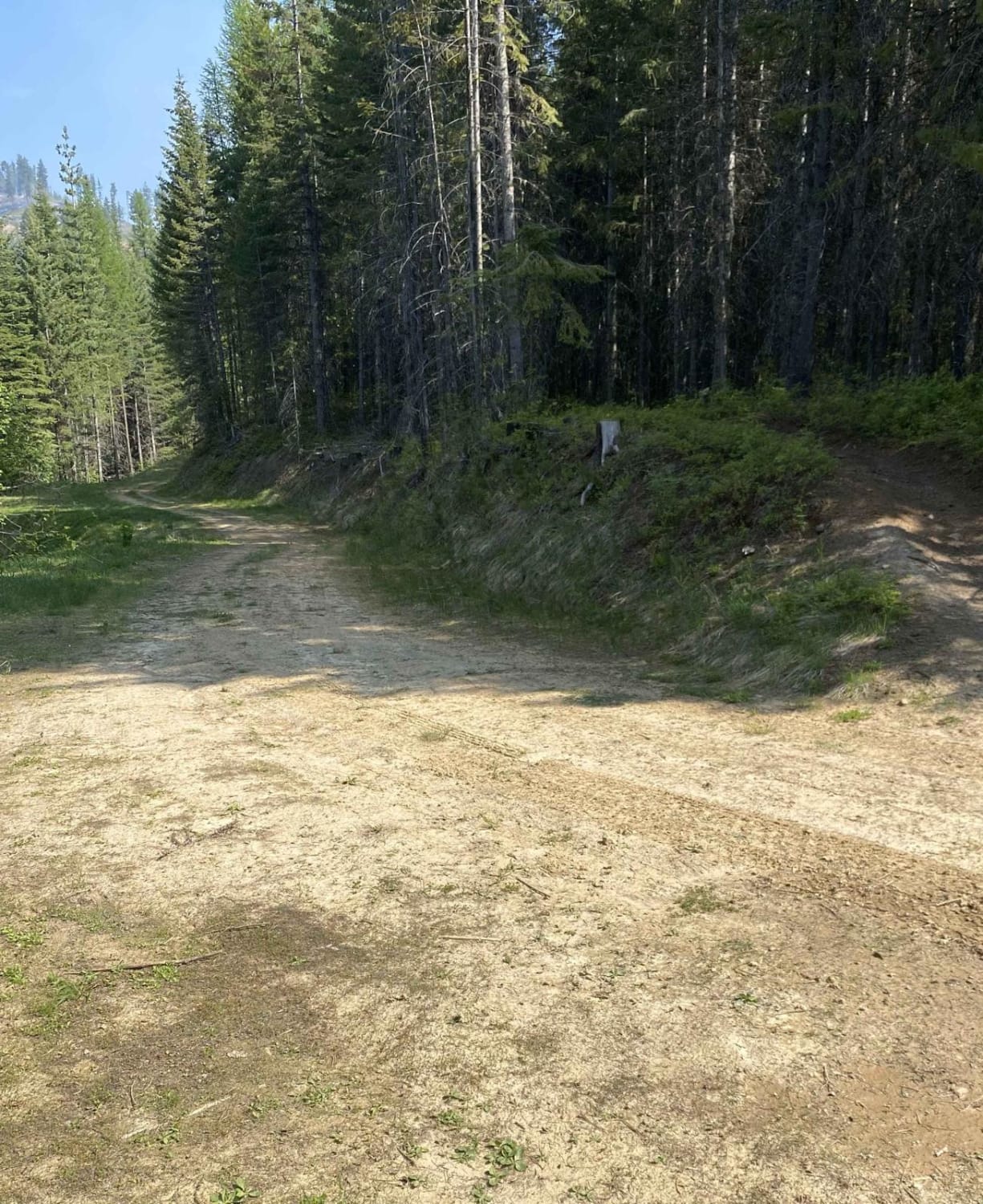
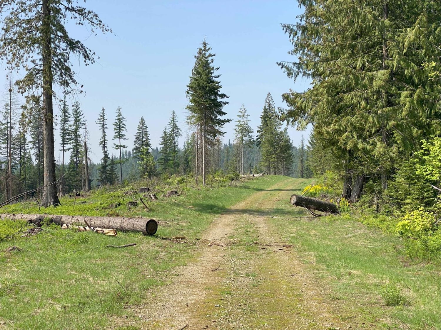
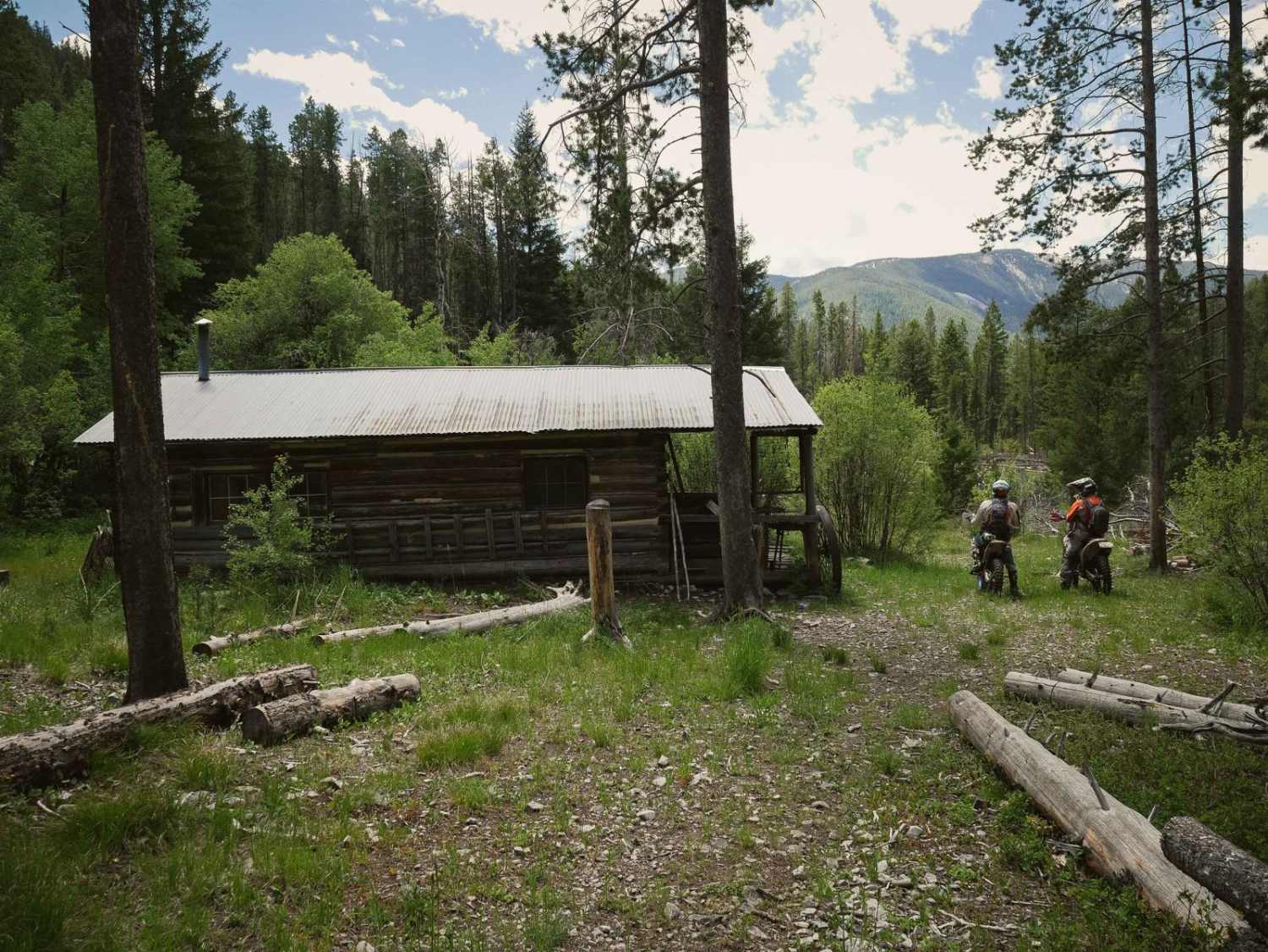
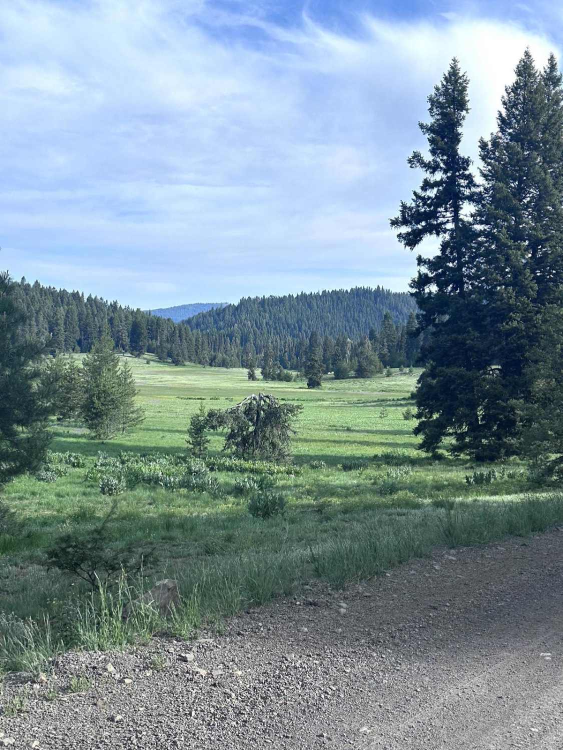
Trail Overview
This is a 50" trail that loops through the timber and clear-cuts between FS Road 768 and FS Road 1427. From 1427 it starts as a true 50" wide trail through thick timber, then it widens out and wanders through areas of timber and old clear-cuts before narrowing back down into the thick timber again and spilling out onto road 768.
Photos of Palouse OHV Excavation Gulch - Akers
Difficulty
This is a relatively easy trail but may have some obstacles depending on the time of year with snow or blowdowns.
Status Reports
Palouse OHV Excavation Gulch - Akers can be accessed by the following ride types:
- ATV (50")
- Dirt Bike
Palouse OHV Excavation Gulch - Akers Map
Popular Trails
Sheep Creek
Brundage Mountain

Pete Creek Road

Forest Service Rd 3320E West
The onX Offroad Difference
onX Offroad combines trail photos, descriptions, difficulty ratings, width restrictions, seasonality, and more in a user-friendly interface. Available on all devices, with offline access and full compatibility with CarPlay and Android Auto. Discover what you’re missing today!