Oregon Toboggan Road
Total Miles
14.0
Technical Rating
Best Time
Summer
Trail Type
Full-Width Road
Accessible By
Trail Overview
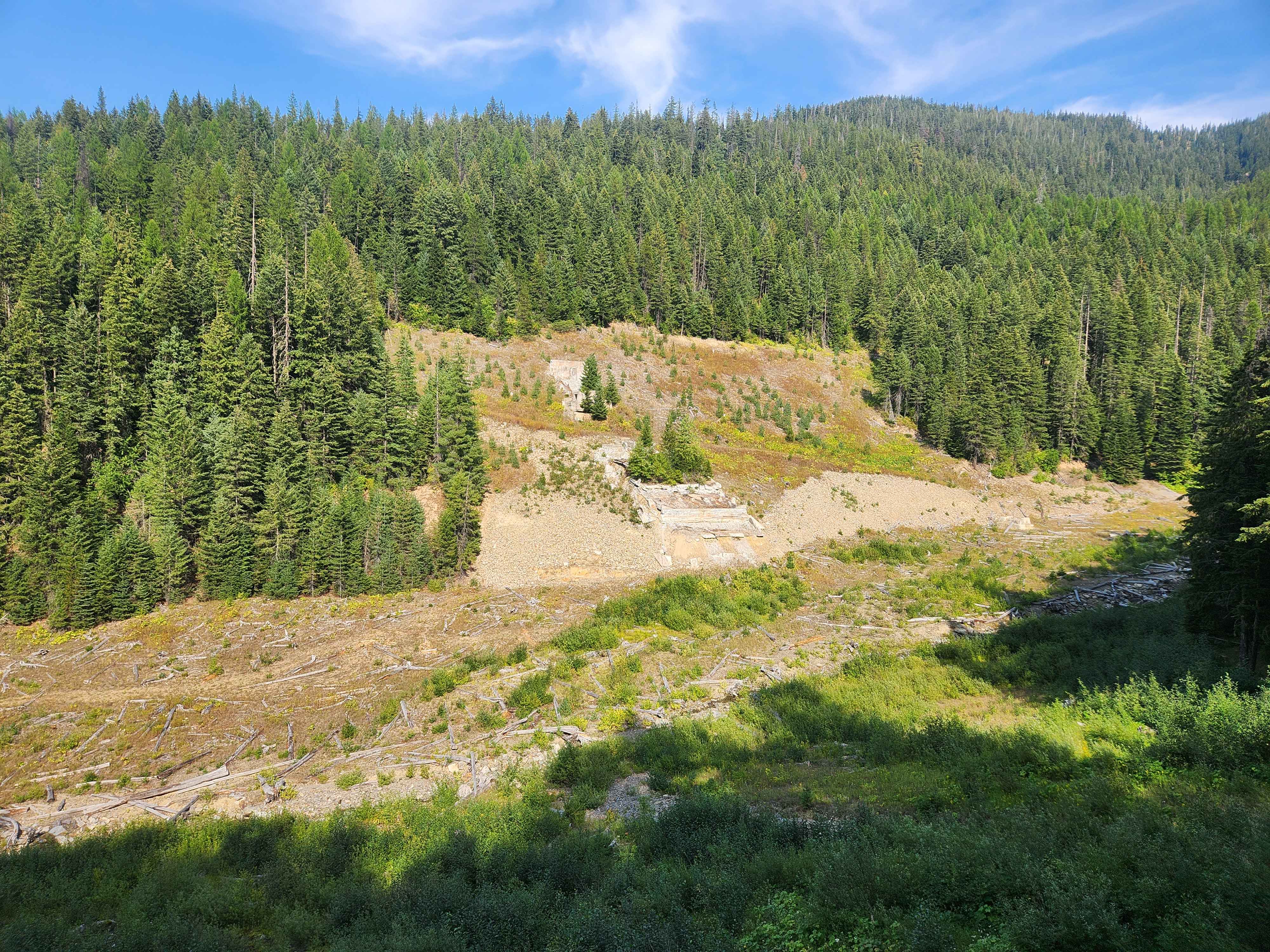
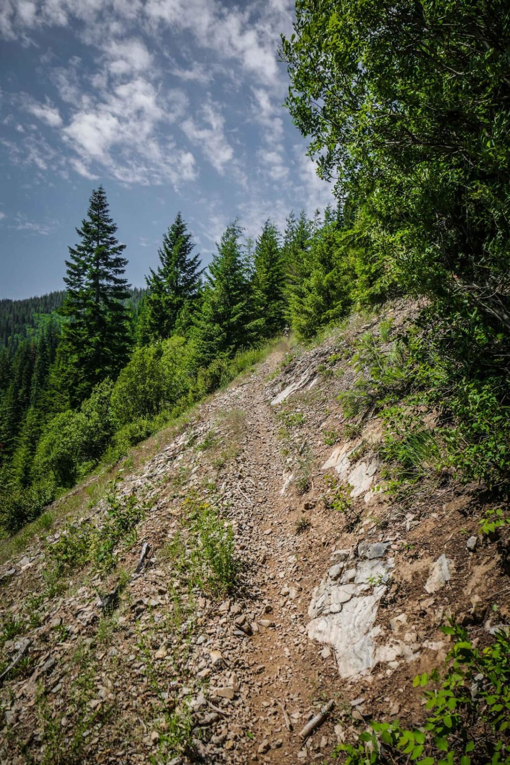
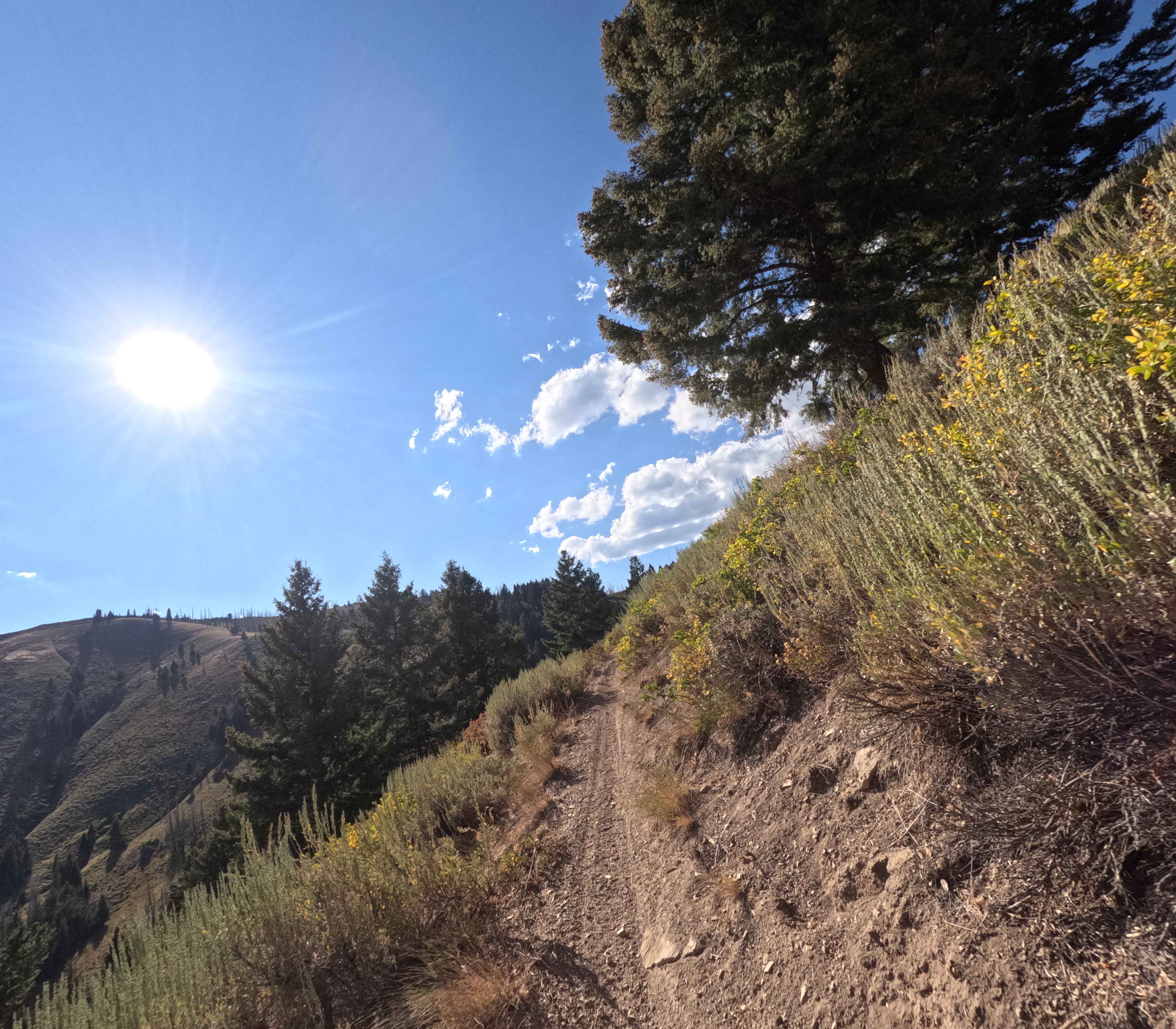
Oregon Toboggan (FS 2349) and Jack Waite Forks (FS 1551) are moderately used, mild forest roads with great views of the Coeur d'Alene mountains. At 11.3 miles, there is a spur road on the left which dead ends close to the remediation site of the Jack Waite Mine, which was founded back in 1884. The route ends at the Kootenai National Forest border at the top of the ridge, where Big Beaver Creek Road starts FS 152. There are deer, elk, and bear in the area, but no bathrooms or facilities of any kind. Leave historical items where you found them and pack out any garbage. The route is not maintained in the winter, and snowpack may hinder access. Cell service is not likely, and inclement weather can make travel difficult.
Photos of Oregon Toboggan Road
Difficulty
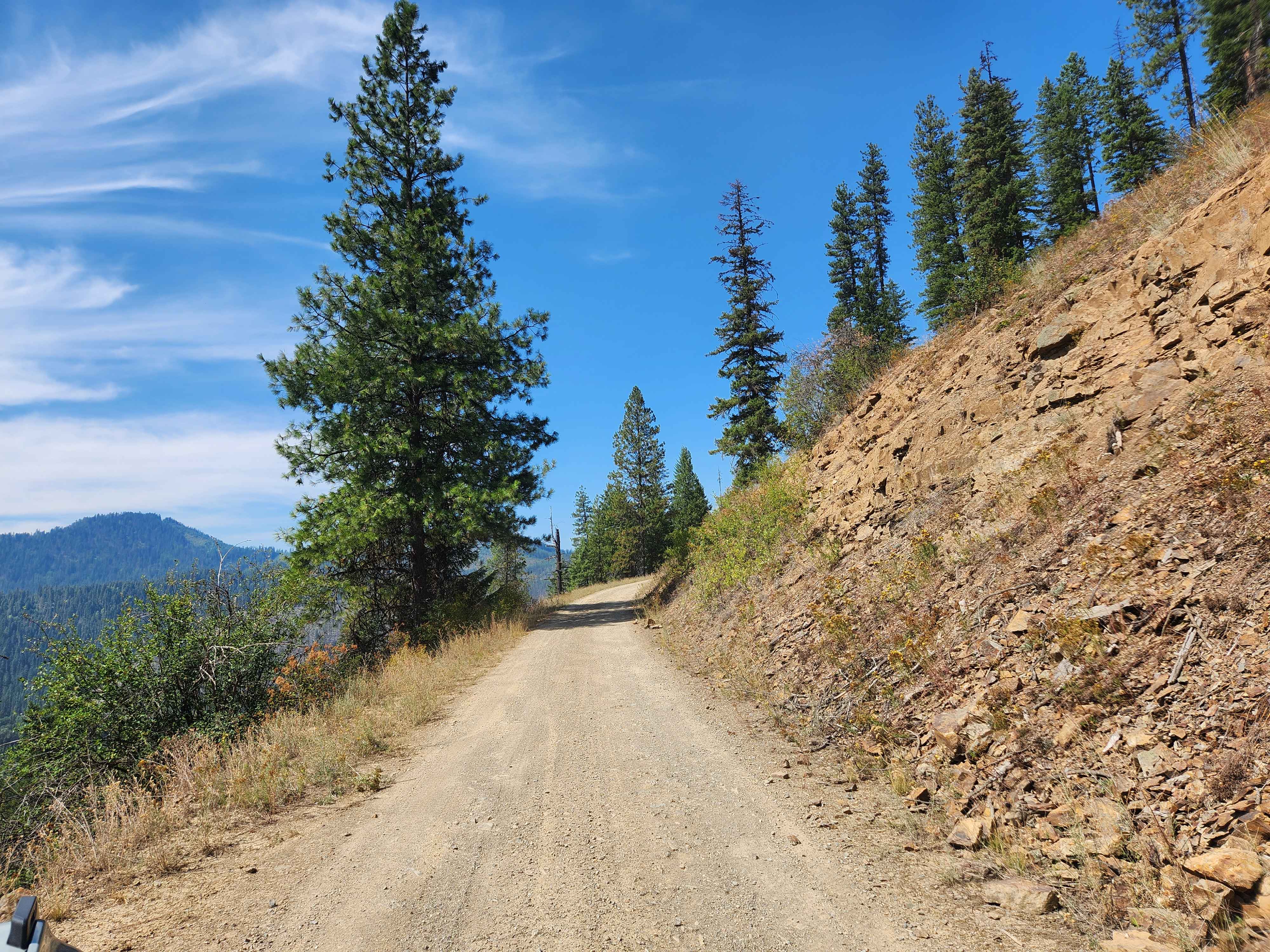
Road narrows to one lane on occasion, and inclement weather may increase difficulty.
Status Reports
Oregon Toboggan Road can be accessed by the following ride types:
- High-Clearance 4x4
- SUV
- SxS (60")
- ATV (50")
- Dirt Bike
Oregon Toboggan Road Map
Popular Trails
Washington Basin
Long Creek - FS 545
Middle Fork Warm Springs - FS 7150
The onX Offroad Difference
onX Offroad combines trail photos, descriptions, difficulty ratings, width restrictions, seasonality, and more in a user-friendly interface. Available on all devices, with offline access and full compatibility with CarPlay and Android Auto. Discover what you’re missing today!