Off-Road Trails in Idaho
Discover off-road trails in Idaho
Learn more about Petrified Watermelons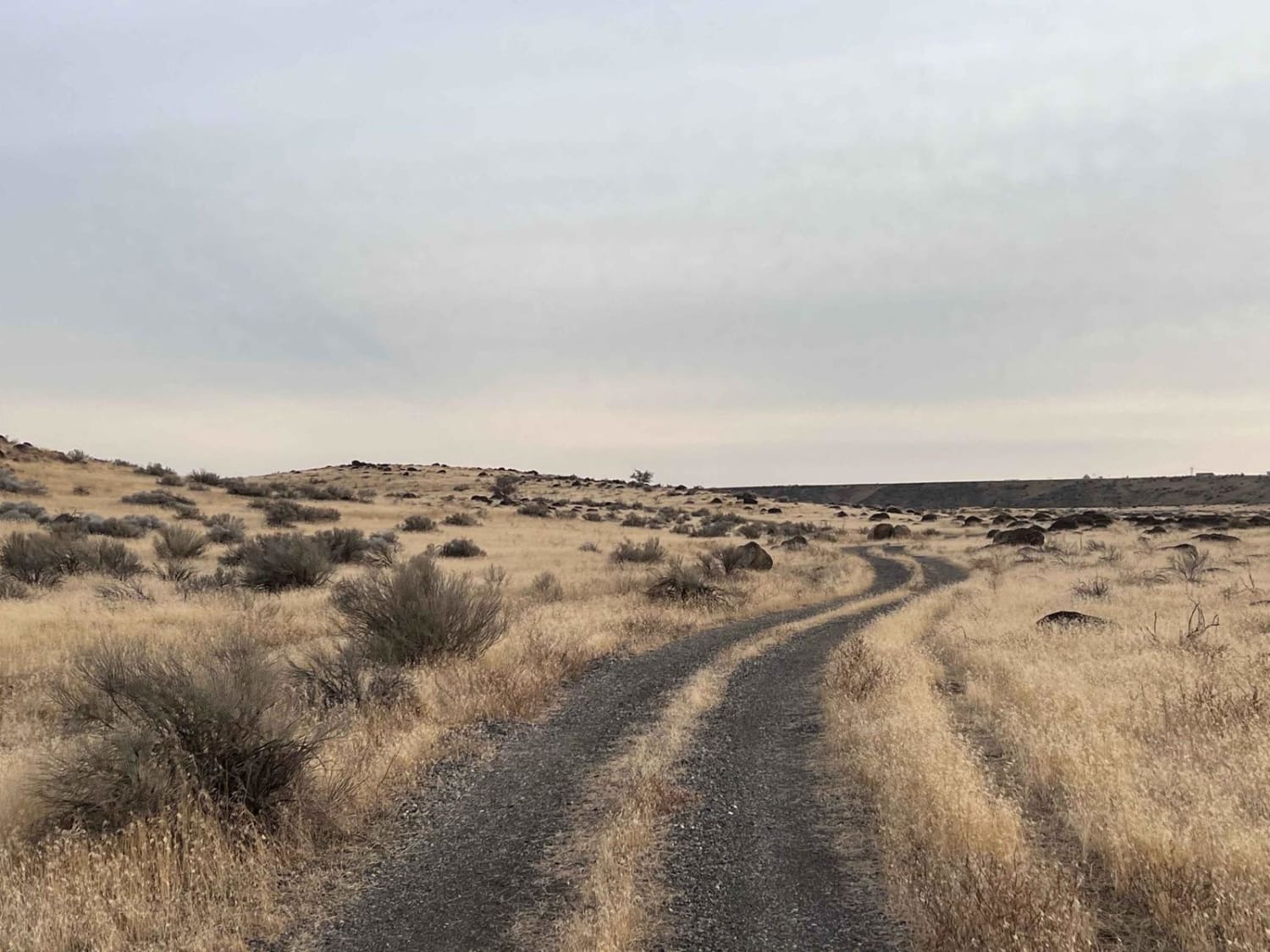
Petrified Watermelons
Total Miles
1.7
Tech Rating
Easy
Best Time
Summer, Fall, Spring
Learn more about Petterson Canyon #5232
Petterson Canyon #5232
Total Miles
1.1
Tech Rating
Easy
Best Time
Summer, Fall
Learn more about Pettit Lake and Dreamy Day Use Area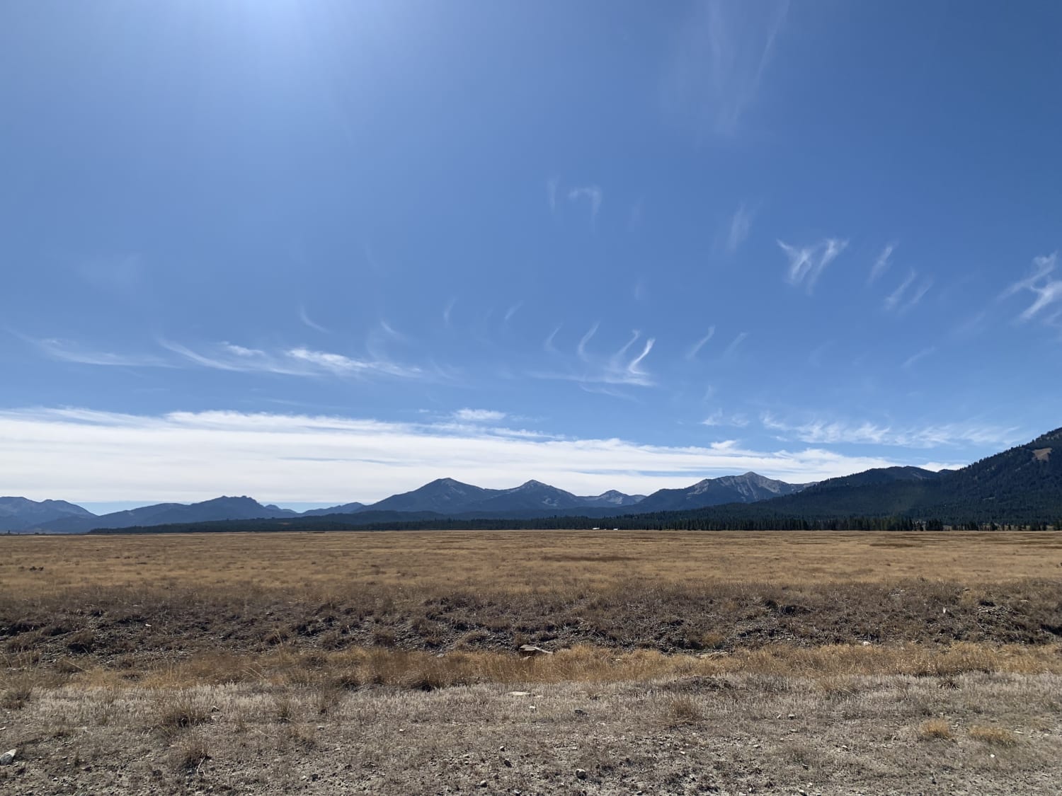
Pettit Lake and Dreamy Day Use Area
Total Miles
1.9
Tech Rating
Easy
Best Time
Spring, Summer, Fall
Learn more about Phifer Creek Pass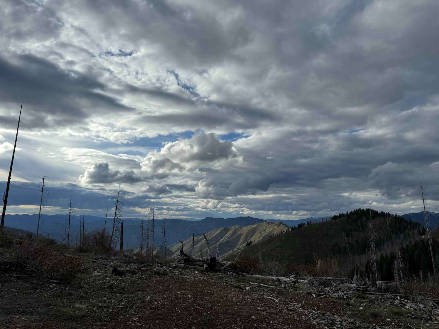
Phifer Creek Pass
Total Miles
13.1
Tech Rating
Easy
Best Time
Spring, Fall, Summer
Learn more about Picnic Ridge Trail
Picnic Ridge Trail
Total Miles
2.8
Tech Rating
Moderate
Best Time
Summer, Fall
Learn more about Pierce Canyon to Skull Canyon Loop
Pierce Canyon to Skull Canyon Loop
Total Miles
17.6
Tech Rating
Easy
Best Time
Spring
Learn more about Pierce to Dworshak Reservoir/Grandad Bridge
Pierce to Dworshak Reservoir/Grandad Bridge
Total Miles
35.5
Tech Rating
Easy
Best Time
Spring, Summer, Fall
Learn more about Pierce to Superior FS 250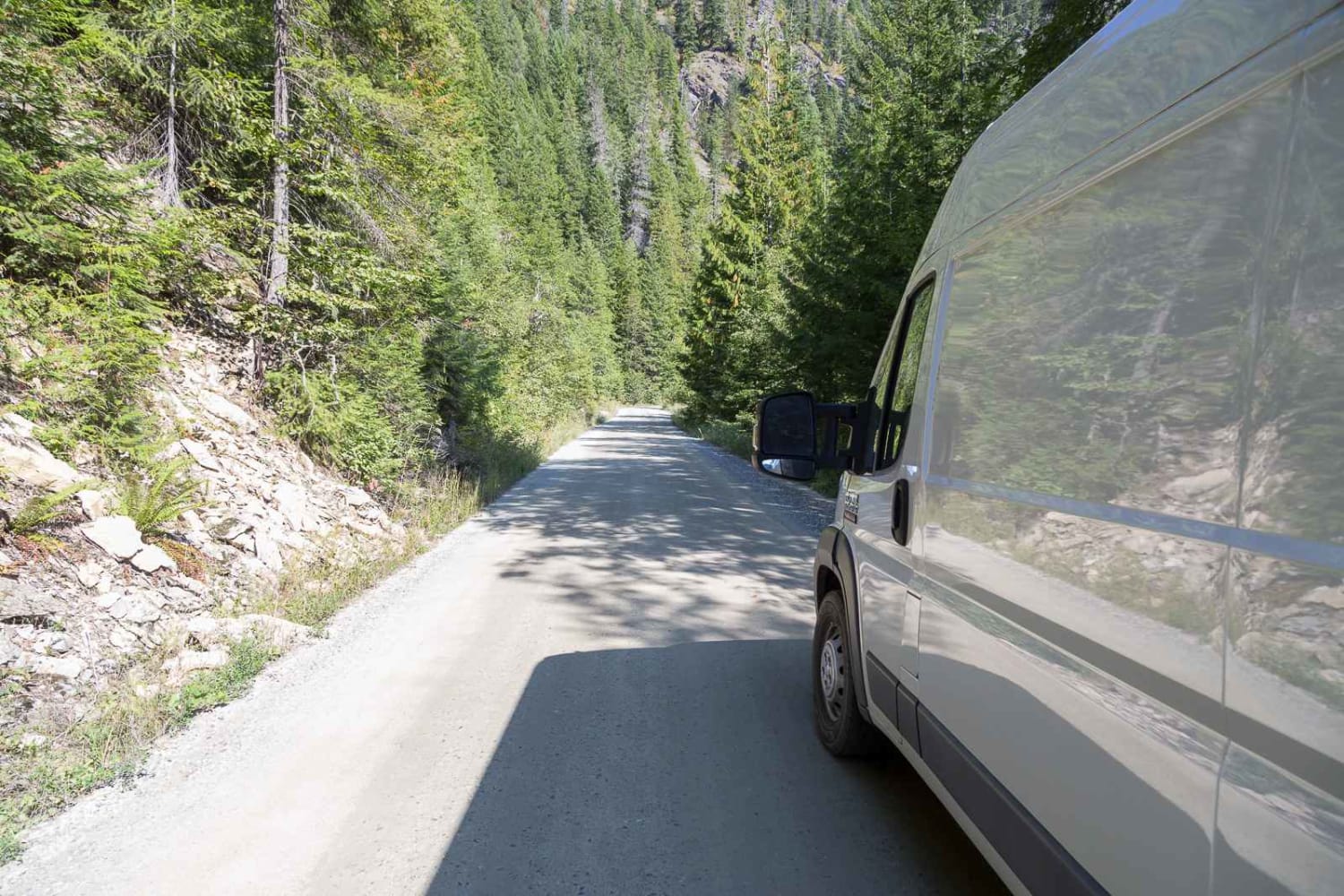
Pierce to Superior FS 250
Total Miles
40.5
Tech Rating
Easy
Best Time
Summer, Fall
Learn more about Pilot Peak Lookout Tower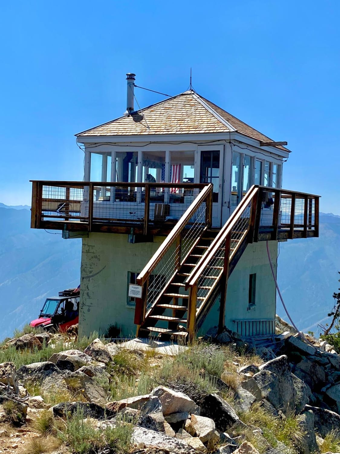
Pilot Peak Lookout Tower
Total Miles
8.5
Tech Rating
Moderate
Best Time
Summer
Learn more about Pilot Peak/Summit Flat 380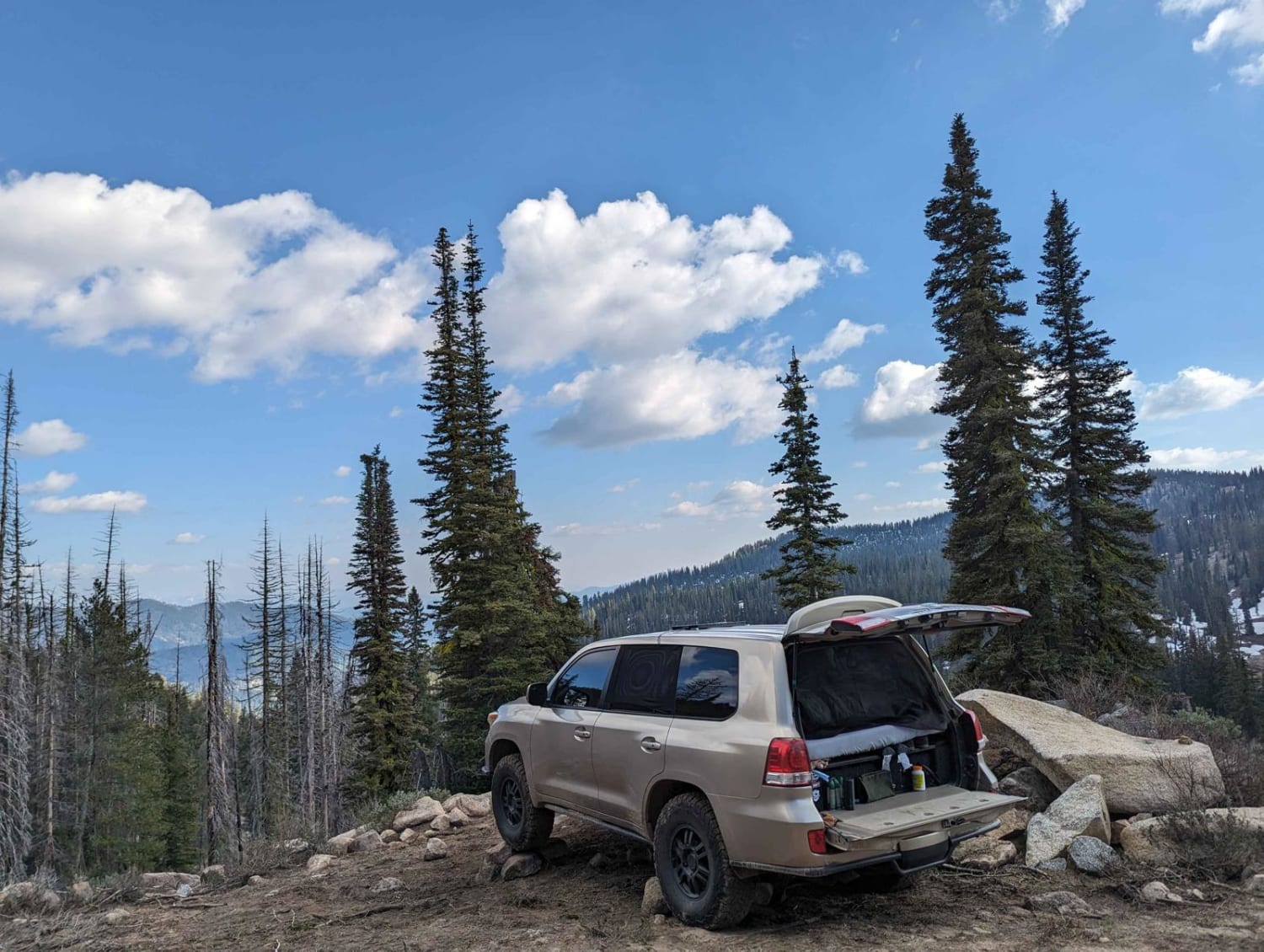
Pilot Peak/Summit Flat 380
Total Miles
4.1
Tech Rating
Moderate
Best Time
Spring, Summer, Fall
Learn more about Pine Point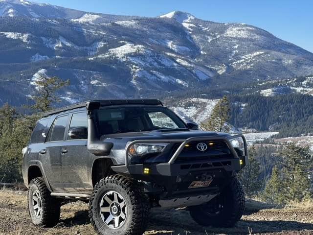
Pine Point
Total Miles
3.4
Tech Rating
Easy
Best Time
Spring, Summer, Fall, Winter
Learn more about Placer Creek Trail - FS 7141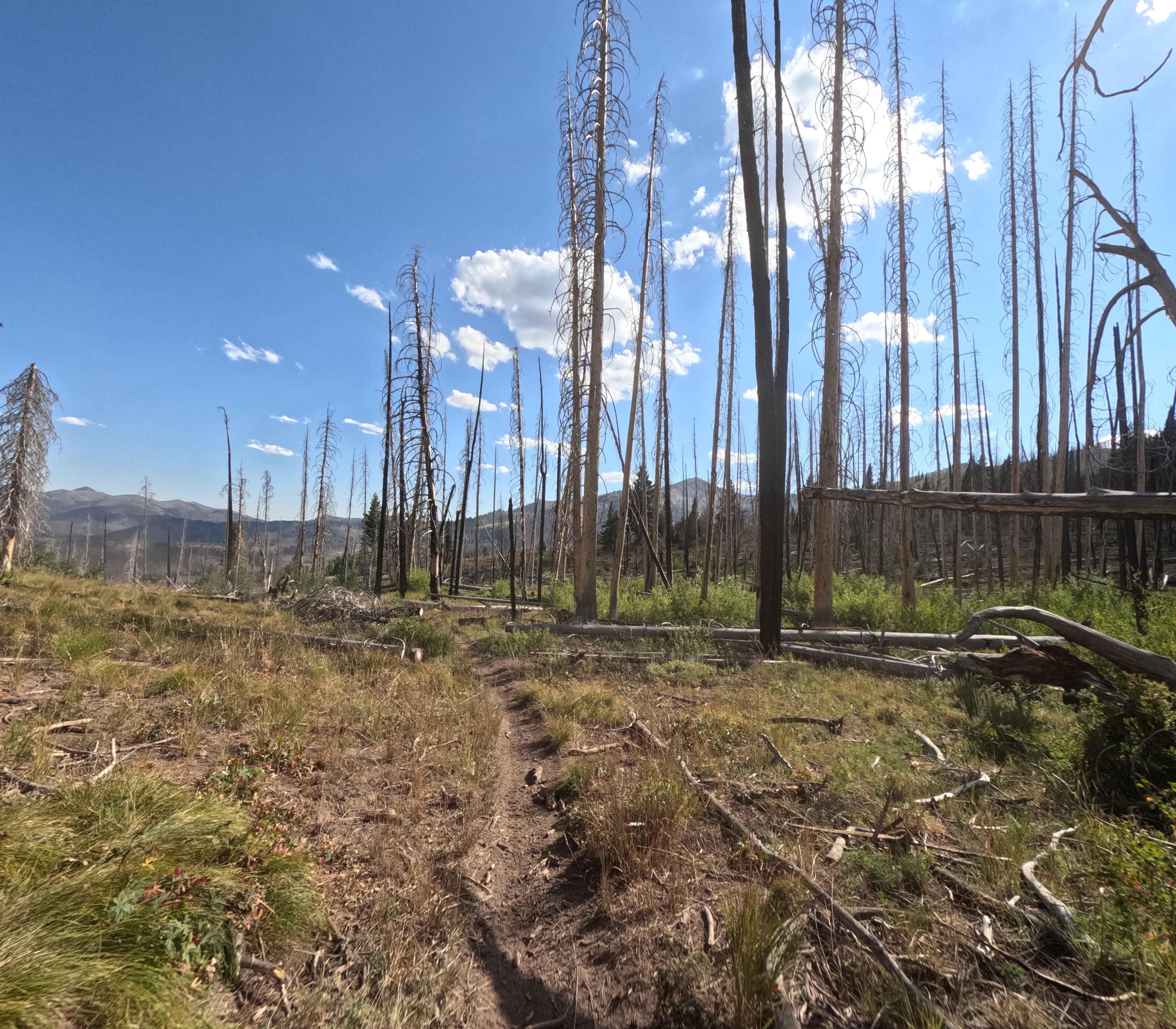
Placer Creek Trail - FS 7141
Total Miles
3.9
Tech Rating
Easy
Best Time
Summer, Fall
Learn more about Poison Flats Trail Exploring
Poison Flats Trail Exploring
Total Miles
10.1
Tech Rating
Easy
Best Time
Summer, Fall
Learn more about Pole Canyon Road
Pole Canyon Road
Total Miles
8.1
Tech Rating
Easy
Best Time
Spring, Summer, Fall
Learn more about Potato Hill Connector
Potato Hill Connector
Total Miles
1.2
Tech Rating
Moderate
Best Time
Spring, Summer, Fall, Winter
Learn more about Potato Hill Road - Trail 783
Potato Hill Road - Trail 783
Total Miles
2.0
Tech Rating
Moderate
Best Time
Spring, Summer, Fall, Winter
Learn more about Potlatch River - FS 3332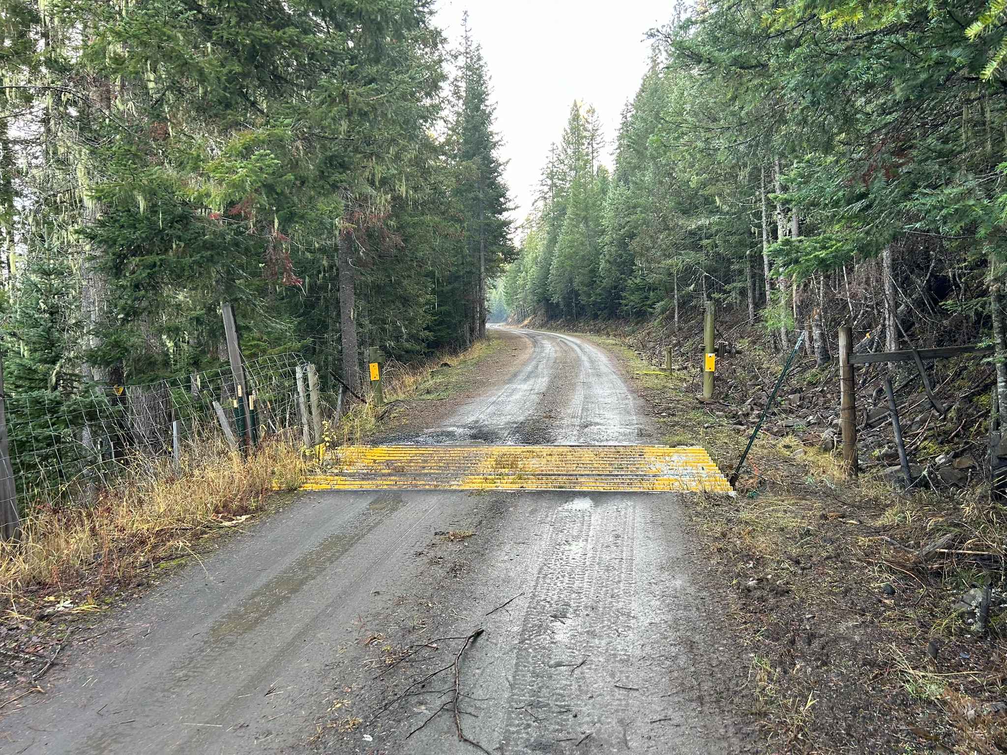
Potlatch River - FS 3332
Total Miles
3.4
Tech Rating
Easy
Best Time
Spring, Summer, Fall, Winter
Learn more about Potter Creek - FS 911
Potter Creek - FS 911
Total Miles
9.7
Tech Rating
Easy
Best Time
Spring, Summer, Fall
Learn more about Powder Gulch 
Powder Gulch
Total Miles
2.9
Tech Rating
Easy
Best Time
Spring, Summer, Fall
ATV trails in Idaho
Learn more about Aspen Range - Middle Sulphur #5248 
Aspen Range - Middle Sulphur #5248
Total Miles
1.9
Tech Rating
Easy
Best Time
Summer, Fall
Learn more about Dry Fork - Meadow Springs #5226 
Dry Fork - Meadow Springs #5226
Total Miles
0.4
Tech Rating
Easy
Best Time
Summer, Fall
Learn more about South Foothill Road
South Foothill Road
Total Miles
8.2
Tech Rating
Moderate
Best Time
Summer, Fall

UTV/side-by-side trails in Idaho
Learn more about South Foothill Road
South Foothill Road
Total Miles
8.2
Tech Rating
Moderate
Best Time
Summer, Fall

Learn more about 21 To Nip & Tuck
21 To Nip & Tuck
Total Miles
1.4
Tech Rating
Easy
Best Time
Fall, Summer, Spring

The onX Offroad Difference
onX Offroad combines trail photos, descriptions, difficulty ratings, width restrictions, seasonality, and more in a user-friendly interface. Available on all devices, with offline access and full compatibility with CarPlay and Android Auto. Discover what you’re missing today!