Placer Creek Trail - FS 7141
Total Miles
3.9
Technical Rating
Best Time
Summer, Fall
Trail Type
Single Track
Accessible By
Trail Overview
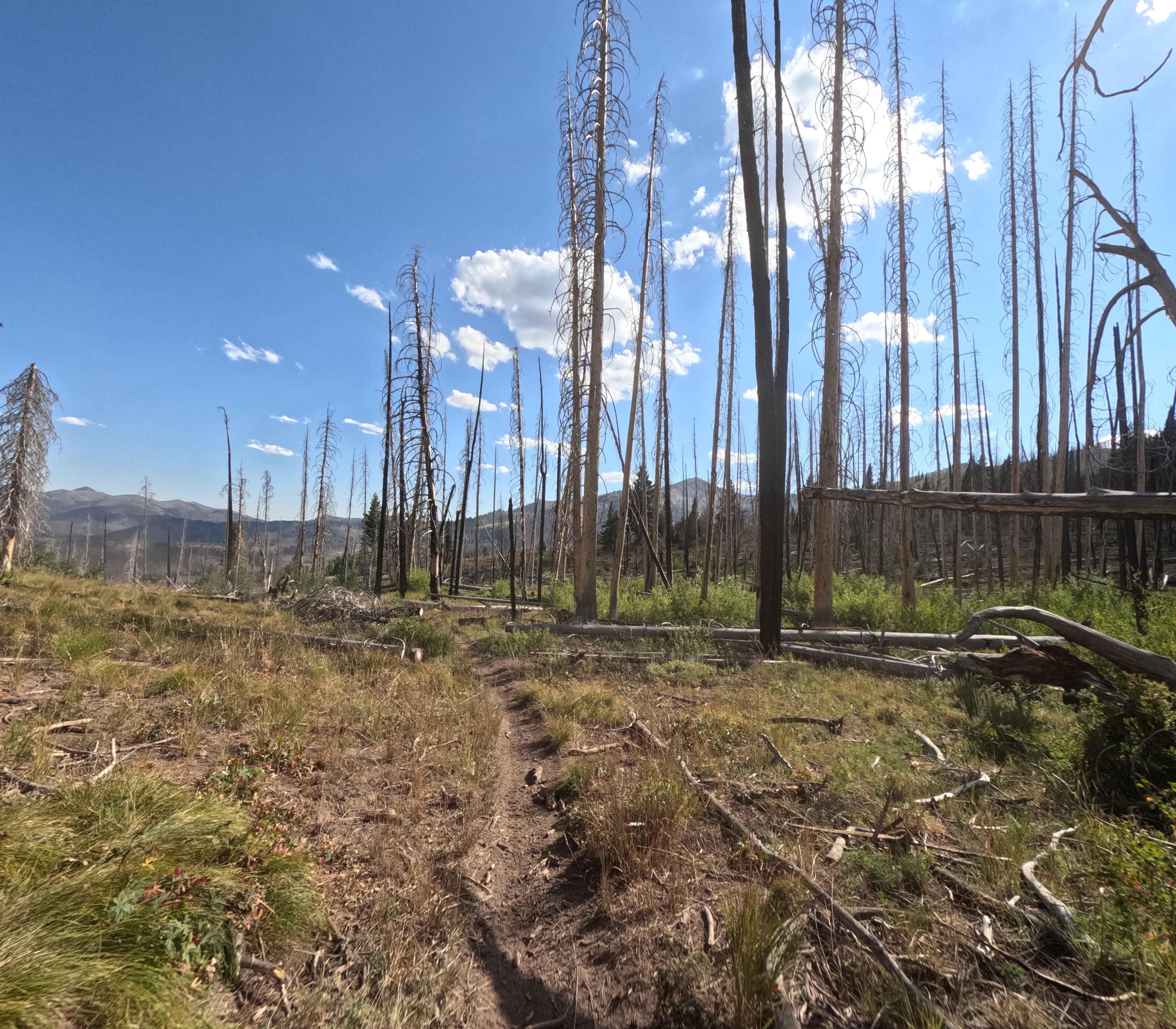
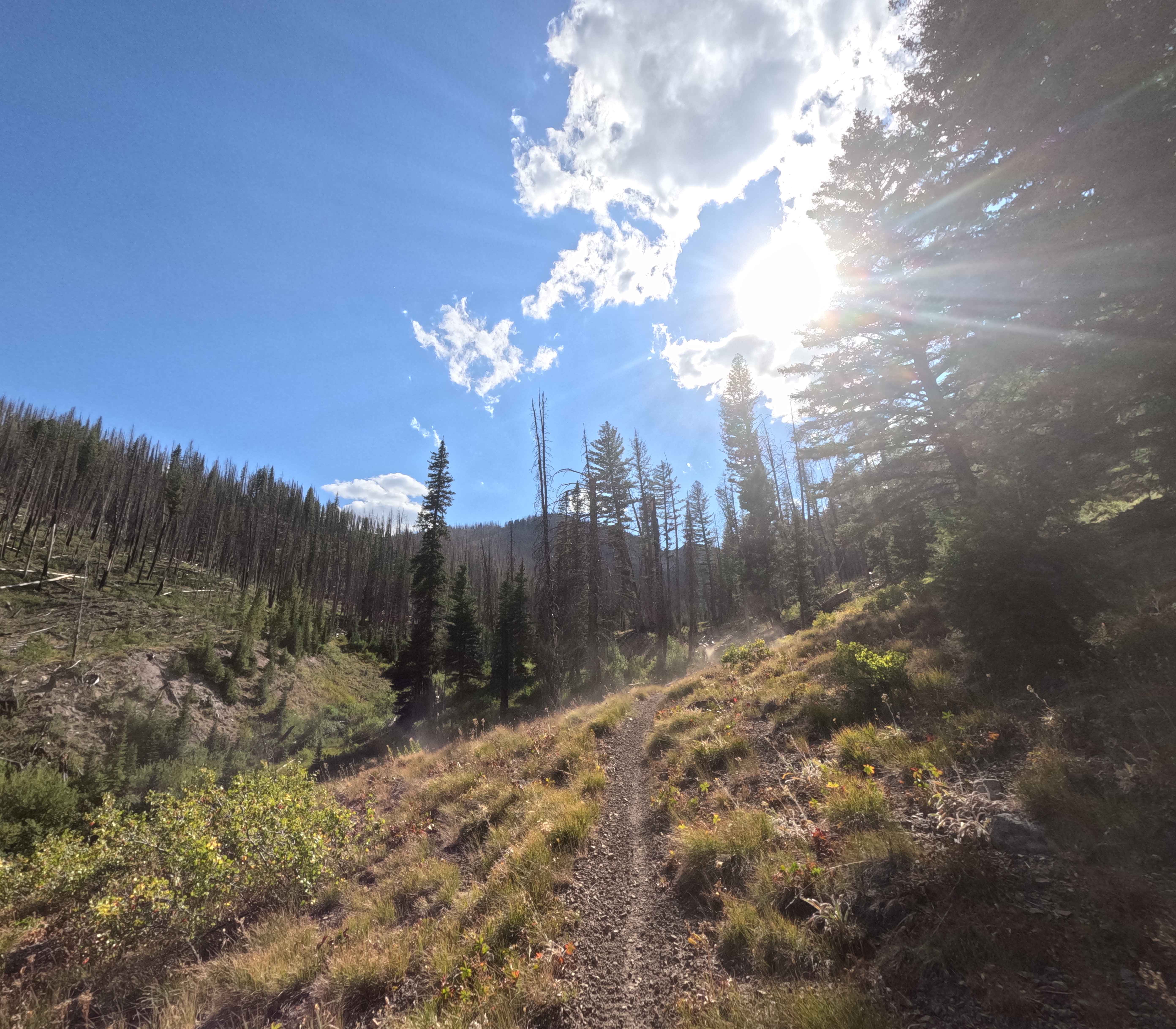
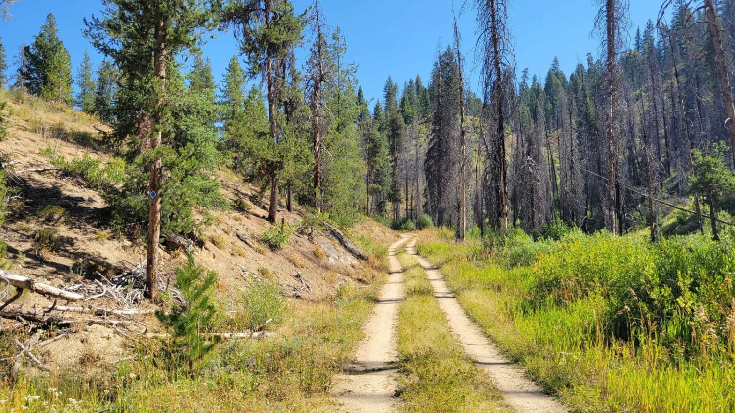
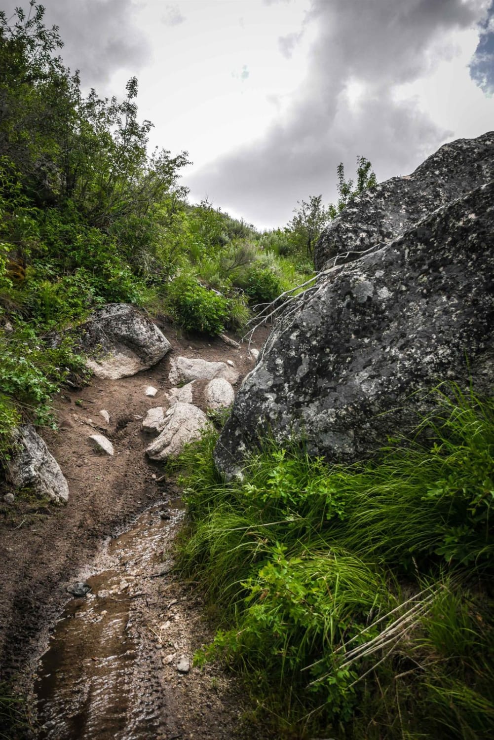
Placer Creek Trail (7141) winds through the Smoky Mountains about 20 minutes west of Ketchum, Idaho. The route is 3.9 miles long, beginning near the midpoint of Castle Rock and traveling west and southeast to Forest Service Road 70169 before eventually meeting FS 70227. Riders first face a steady climb of roughly 1,000 feet before the trail tips downward and loses about 1,300 feet towards the road. The surface is mostly loose, powdery dirt broken up by intermittent embedded baseball-sized rocks. A couple of medium switchbacks appear along the way, but are not especially difficult. The upper portion travels through burned forest and fields, and a few sections are narrow with moderate side-hill exposure. Around halfway, the trail bottoms out in a valley and parallels Placer Creek. Near the road, the single track broadens to a double track.
Photos of Placer Creek Trail - FS 7141
Difficulty
No major obstacles on this trail apart from overall track narrowness and deadfall.
Status Reports
Placer Creek Trail - FS 7141 can be accessed by the following ride types:
- Dirt Bike
Placer Creek Trail - FS 7141 Map
Popular Trails
Skyline Trail

Stoddard Creek to Indian Creek Butte

Virginia Gulch - FS 7037
The onX Offroad Difference
onX Offroad combines trail photos, descriptions, difficulty ratings, width restrictions, seasonality, and more in a user-friendly interface. Available on all devices, with offline access and full compatibility with CarPlay and Android Auto. Discover what you’re missing today!