Potato Hill Connector
Total Miles
1.2
Technical Rating
Best Time
Spring, Summer, Fall, Winter
Trail Type
Full-Width Road
Accessible By
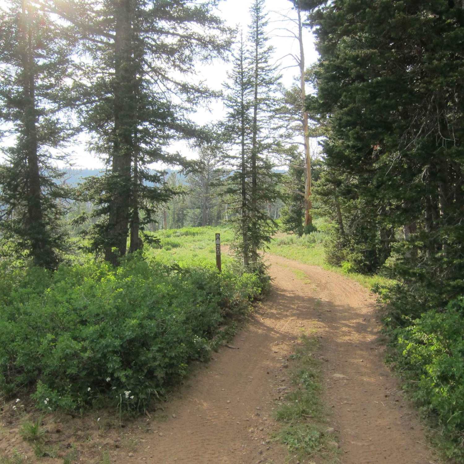
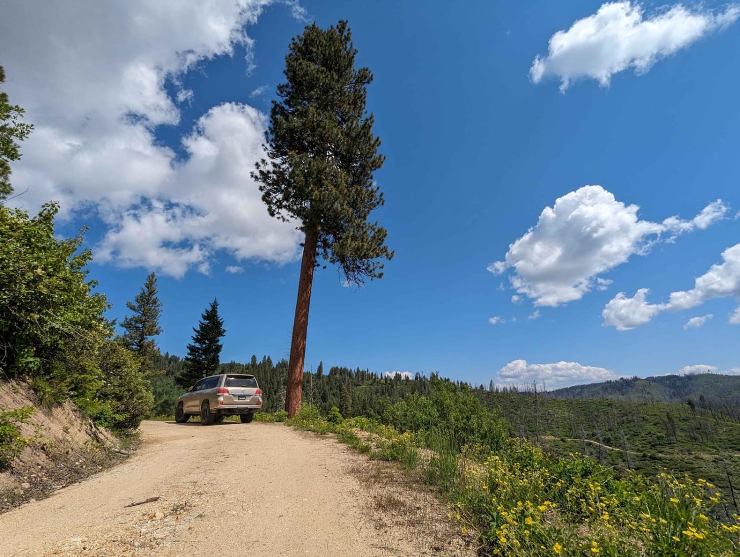
Trail Overview
Potato Hill Connector is a 1.2-mile point-to-point trail connecting Potato Hill Road (Trail 783) with Brush Creek (Trail 289). Starting from the west, the trail begins as a narrow double-track before quickly becoming heavily rutted and off-camber. At 0.25 miles, a cattle guard with posts approximately 80 inches wide creates a width restriction; vehicles exceeding this width will not fit through. The trail maintains these challenging conditions for another quarter-mile before concluding with a short but steep descent. Beyond this point, the route transitions to a smooth, well-maintained gravel road for the remainder of the distance. Potato Hill Connector does not have seasonal closures listed.
Photos of Potato Hill Connector


Difficulty
With off-camber sections of deep ruts, slick mud, and steep grades, Potato Hill Connector is not suitable for 2WD or low-clearance vehicles. Full-size vehicles may require a spotter when navigating the cattle guard to avoid damage. Weather conditions, particularly rain and snow, significantly affect trail difficulty. A chainsaw or other equipment for clearing downed trees is recommended.
Status Reports
Potato Hill Connector can be accessed by the following ride types:
- High-Clearance 4x4
- SUV
- SxS (60")
- ATV (50")
- Dirt Bike
Potato Hill Connector Map
Popular Trails
Church Hollow Trail
Gold Fork Loop 393 (China Fork West Fork)
Access Route to Idaho Centennial Trail

Galena Lagoons to Micro Wave Road
The onX Offroad Difference
onX Offroad combines trail photos, descriptions, difficulty ratings, width restrictions, seasonality, and more in a user-friendly interface. Available on all devices, with offline access and full compatibility with CarPlay and Android Auto. Discover what you’re missing today!