Pierce to Superior FS 250
Total Miles
40.5
Technical Rating
Best Time
Summer, Fall
Trail Type
Full-Width Road
Accessible By
Trail Overview
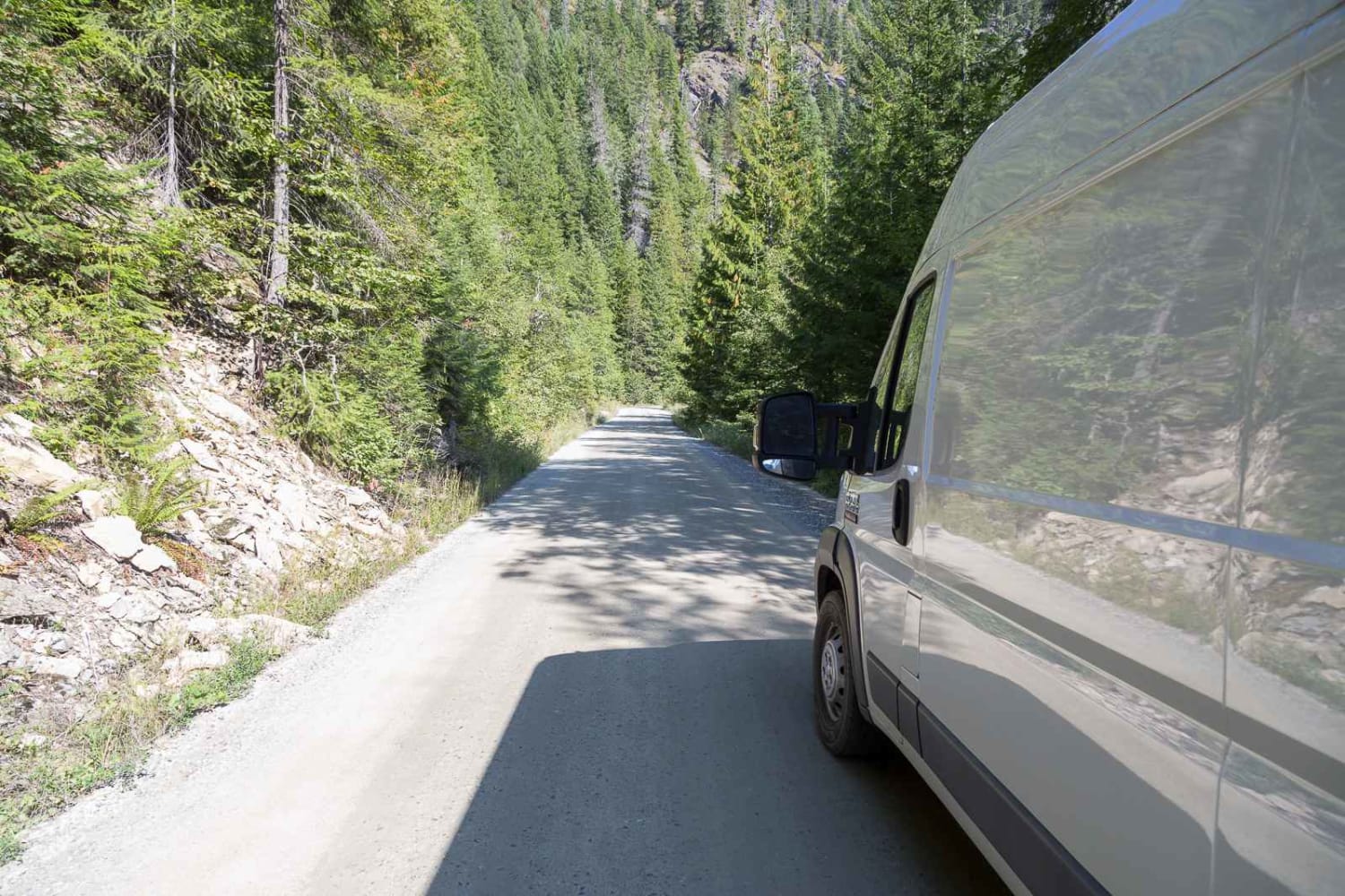
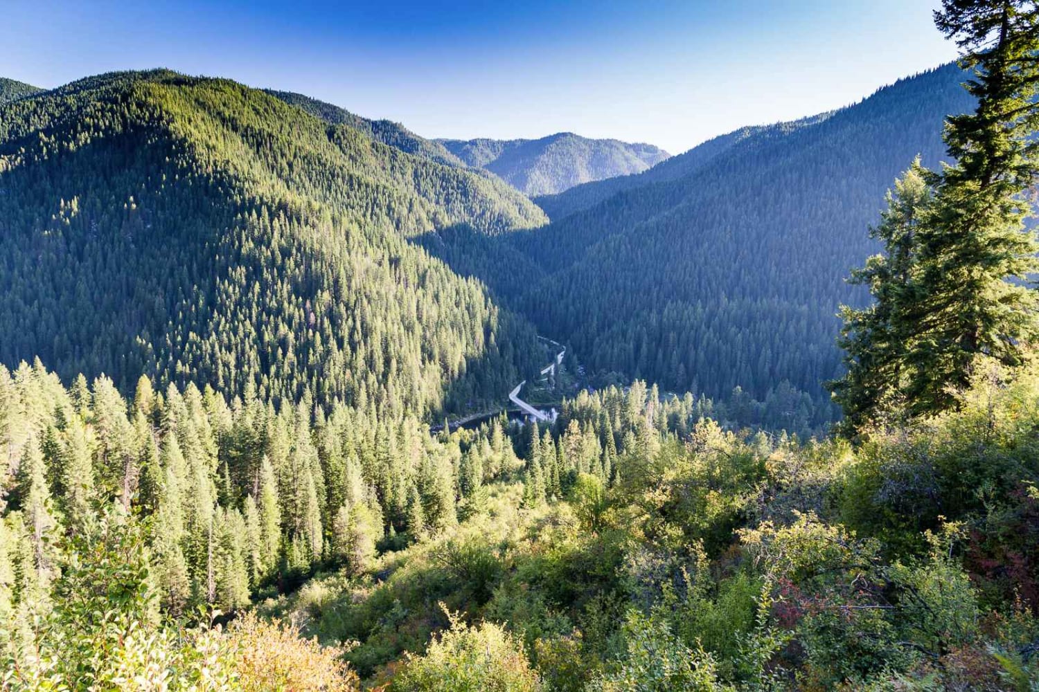
This route follows French Creek until it reaches Orogrande Creek. It continues along Orogrande Creek until it meets the north fork of the Clearwater River. This junction includes both the Bungalow Creek Ranger Station and Bungalow Creek Campground as well as several large dispersed camping sites. The route is a well-maintained gravel road and has numerous dispersed campsites along the way. It appears that world-class fishing is available along this entire route.
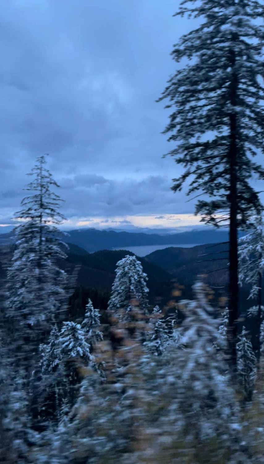
Photos of Pierce to Superior FS 250
Difficulty
This is a well-graded gravel road that even a front-wheel drive camper van can handle.
Pierce to Superior FS 250 can be accessed by the following ride types:
- High-Clearance 4x4
- SUV
- SxS (60")
- ATV (50")
- Dirt Bike
Pierce to Superior FS 250 Map
Popular Trails
Cotterel Mountain Road

East Basin Lake
Allen Canyon Pole Canyon Loop
The onX Offroad Difference
onX Offroad combines trail photos, descriptions, difficulty ratings, width restrictions, seasonality, and more in a user-friendly interface. Available on all devices, with offline access and full compatibility with CarPlay and Android Auto. Discover what you’re missing today!