Potlatch River - FS 3332
Total Miles
3.4
Technical Rating
Best Time
Spring, Summer, Fall, Winter
Trail Type
Full-Width Road
Accessible By
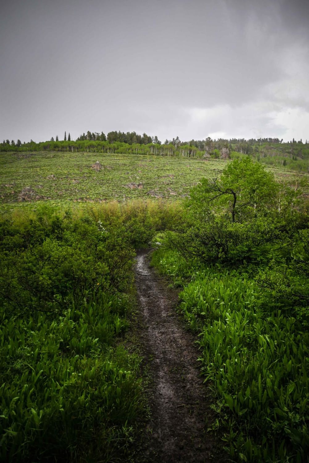
Trail Overview
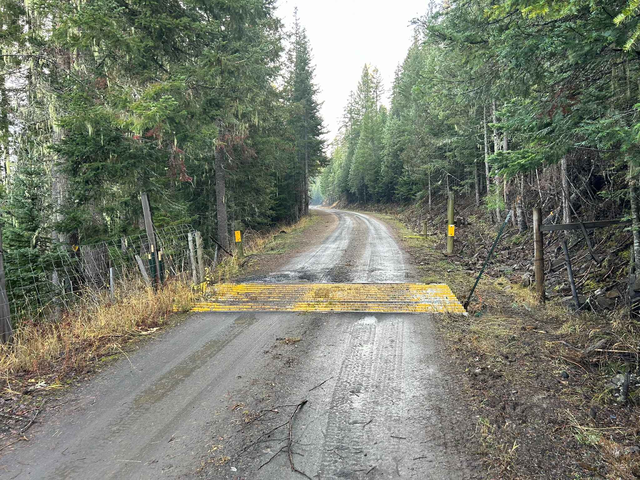
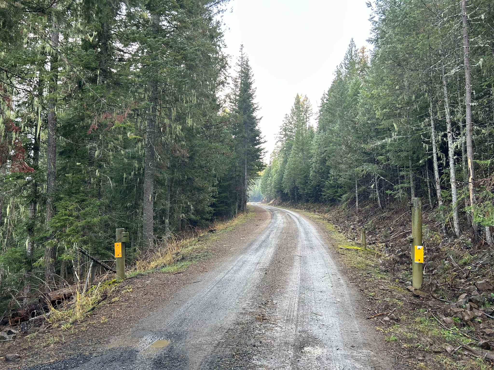
Potlatch River is a 3.5-mile point-to-point power-line road that starts at the end of Fork Rd on the southwest side, snaking up through a section of the Clearwater National Forest before breaking out into a clearing and following power lines for the rest of its length, connecting with ID8 just south of Bovill at the end. On the southwest side, there is a barbed wire gate at 1.2 miles that should be left as you found it (Close the gate behind you if it was closed, and leave it open if found open). On the northeast side, there is a locked gate as of November 2025. There is a legal way around the gate through an opening in the fence about 100 ft back from the locked gate. Potlatch River is open all year, gates permitting.
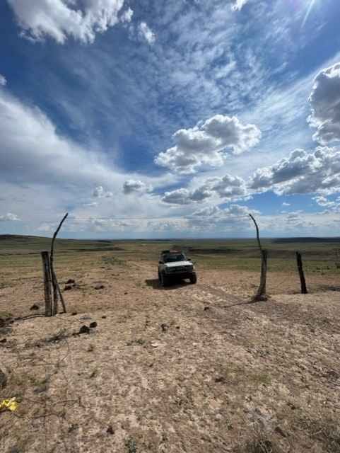
Photos of Potlatch River - FS 3332
Difficulty
The ruts just past mile one are deep and will give lower clearance rigs some trouble if not driven carefully. Expect this area to be slick after rain. As with all trails in north Idaho, snow may drastically affect trail conditions, and always bring a chainsaw or other equipment to move fallen trees.
Status Reports
Potlatch River - FS 3332 can be accessed by the following ride types:
- High-Clearance 4x4
- SUV
- SxS (60")
- ATV (50")
- Dirt Bike
Potlatch River - FS 3332 Map
Popular Trails
Lucky Creek Road
Fawn Spring
Dead Horse and Tea Kettle Caves with Connector
The onX Offroad Difference
onX Offroad combines trail photos, descriptions, difficulty ratings, width restrictions, seasonality, and more in a user-friendly interface. Available on all devices, with offline access and full compatibility with CarPlay and Android Auto. Discover what you’re missing today!