Potato Hill Road - Trail 783
Total Miles
2.0
Technical Rating
Best Time
Spring, Summer, Fall, Winter
Trail Type
Full-Width Road
Accessible By
Trail Overview
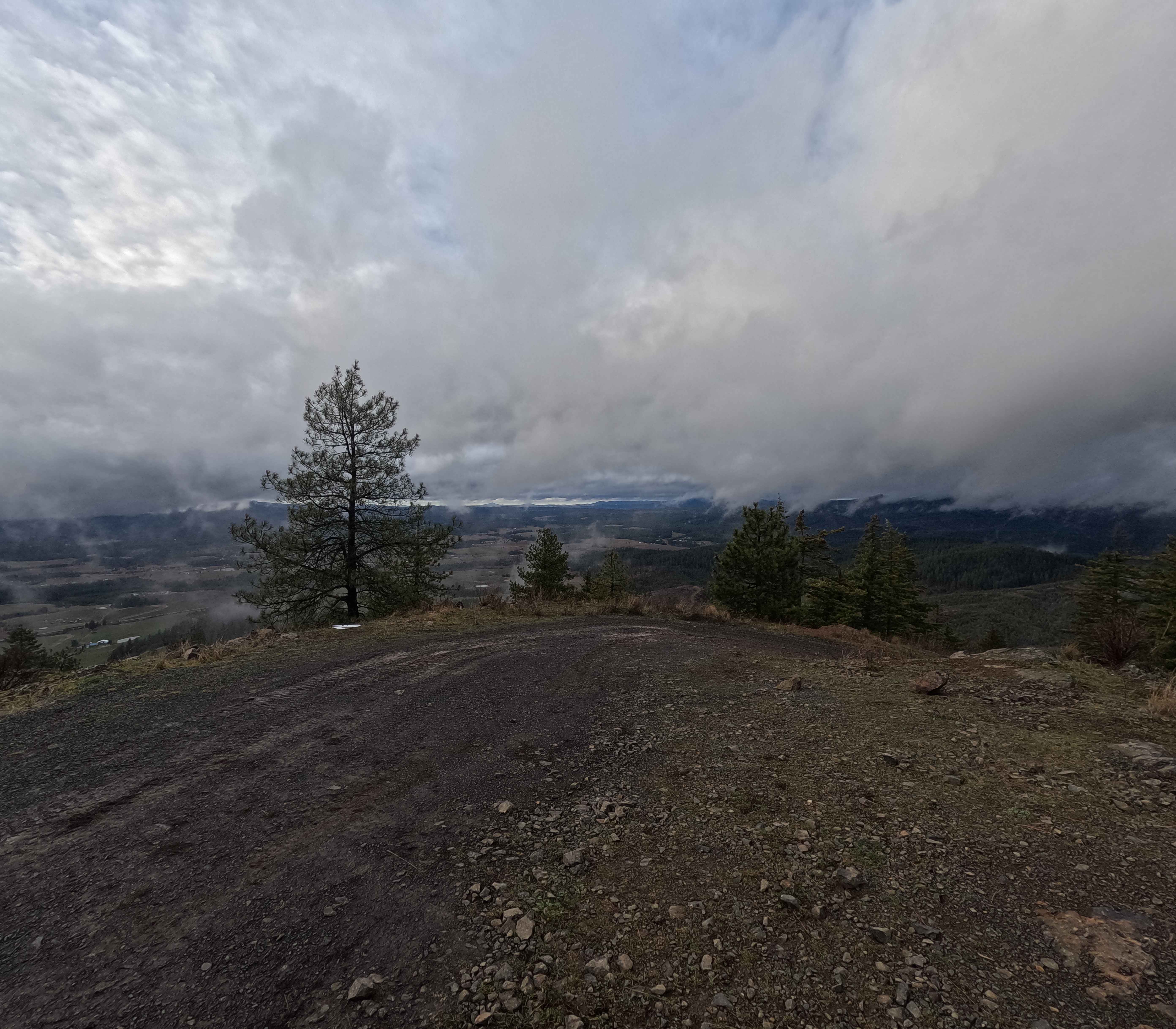
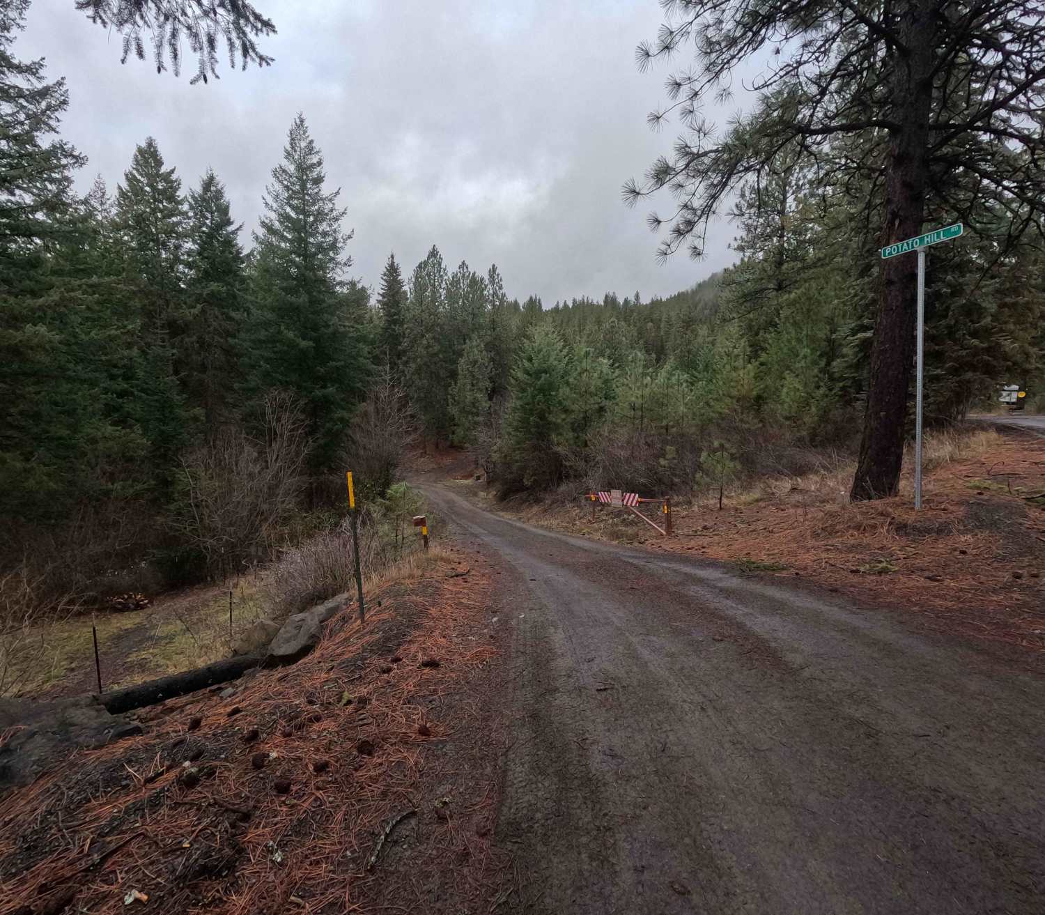
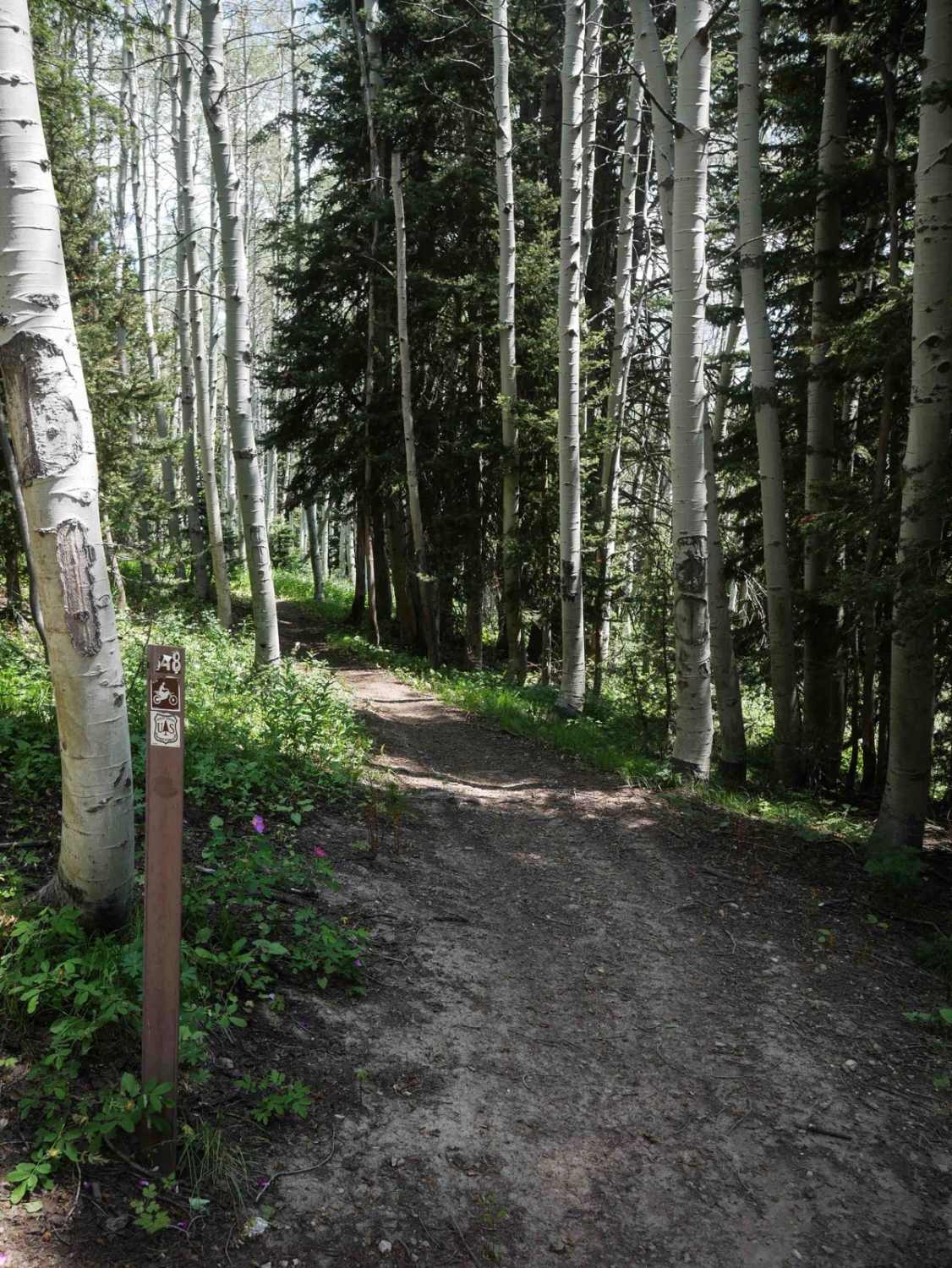
Potato Hill Road is a 2-mile out-and-back trail ascending from Main Street in Deary to the summit of the officially named Potato Hill, locally known as Spud Hill, at an elevation of 4017 feet. The trail begins as a narrow gravel road and progressively transitions into a tight, rutted, and steep route. The final quarter-mile features a steep, loose, and rocky climb with several small rock steps. Finishing the climb rewards visitors with panoramic views of farmland, wooded foothills, and the town of Deary. Potato Hill Road traverses private property, Bennet Lumber land, and State of Idaho parcels. Visitors should be mindful of property boundaries when stopping or parking. The trail is gated at the trailhead; however, no official seasonal closure dates are posted.
Photos of Potato Hill Road - Trail 783
Difficulty
Potato Hill Road features deep ruts, mud holes following rainfall, and a steep, rocky climb with rock steps near the summit. 2WD and low-clearance vehicles will encounter significant difficulty in the upper sections of the trail. Weather conditions, particularly rain and snow, significantly affect trail difficulty. Visitors should bring a chainsaw for clearing windfall. Note: As is common with steep trails, photographs do not fully convey the actual grade and steepness experienced on the ground.
History
Spud Hill housed a fire lookout tower at its summit from 1939 until it was destroyed in 1964. A cell tower now occupies the site. Geologically, Spud Hill is believed by some to be a resurgent volcanic dome and part of a larger caldera system, with Cherry Butte representing another dome within the formation. This caldera would be centered approximately at the town of Deary.
Status Reports
Potato Hill Road - Trail 783 can be accessed by the following ride types:
- High-Clearance 4x4
- SUV
- SxS (60")
- ATV (50")
- Dirt Bike
Potato Hill Road - Trail 783 Map
Popular Trails
Corral Creek Road - FS 177

Bailey Creek #3331
Canter Springs to Sand Basin Road
North Wilson #3348
The onX Offroad Difference
onX Offroad combines trail photos, descriptions, difficulty ratings, width restrictions, seasonality, and more in a user-friendly interface. Available on all devices, with offline access and full compatibility with CarPlay and Android Auto. Discover what you’re missing today!