Canter Springs to Sand Basin Road
Total Miles
10.3
Technical Rating
Best Time
Spring, Summer, Fall
Trail Type
Full-Width Road
Accessible By
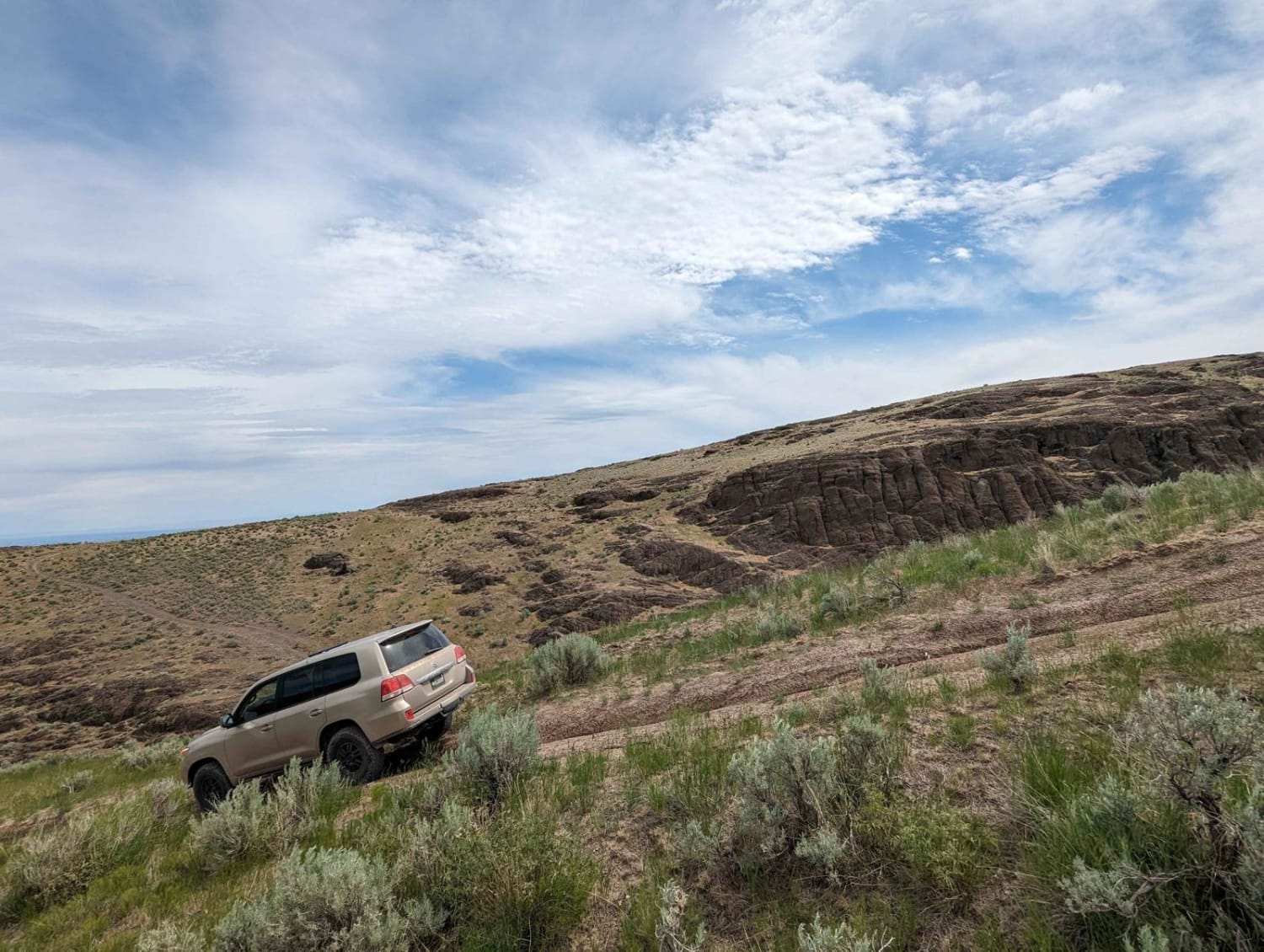
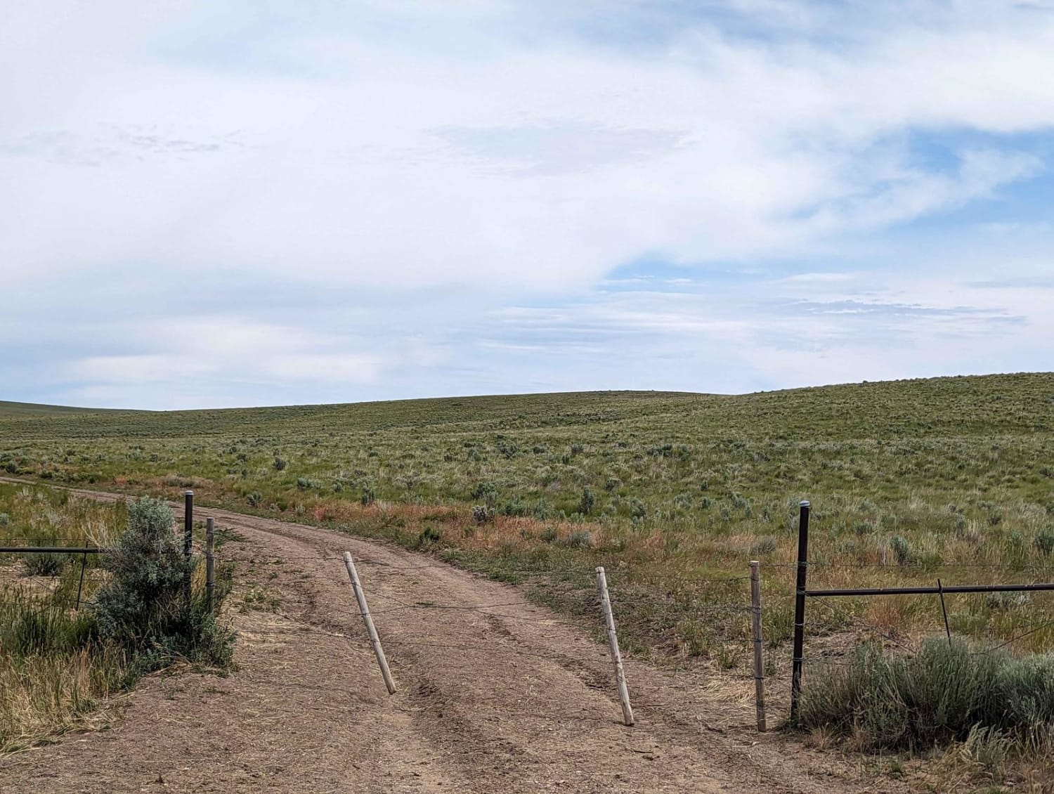
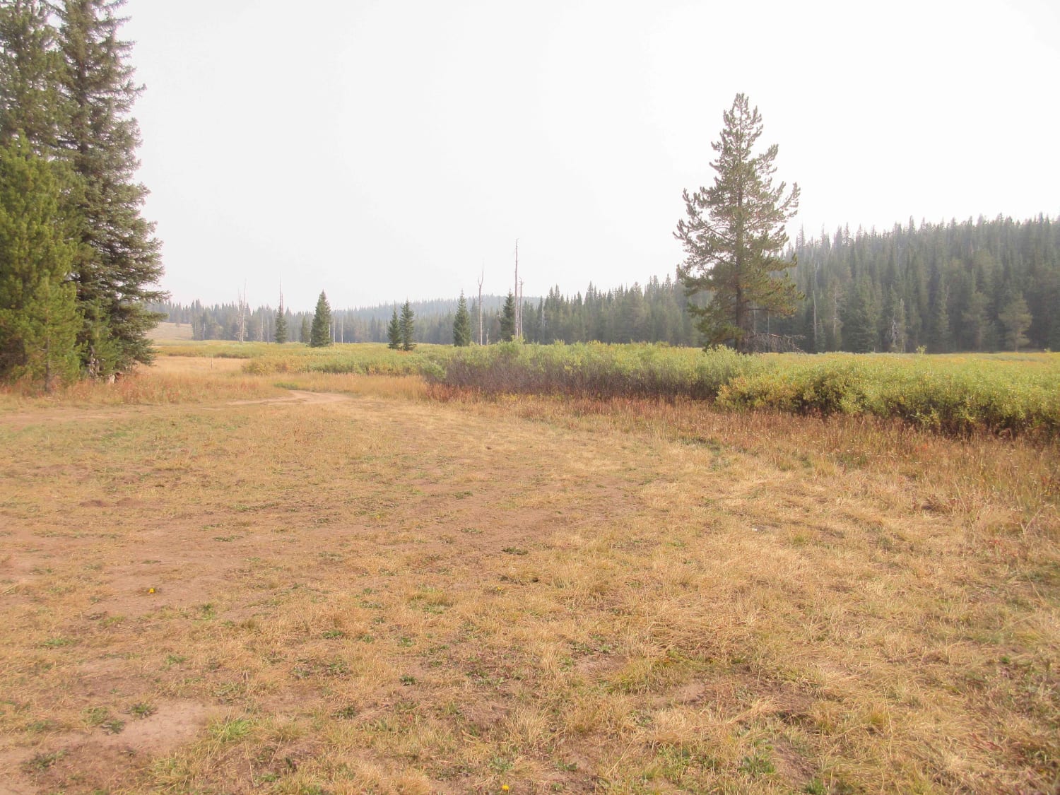
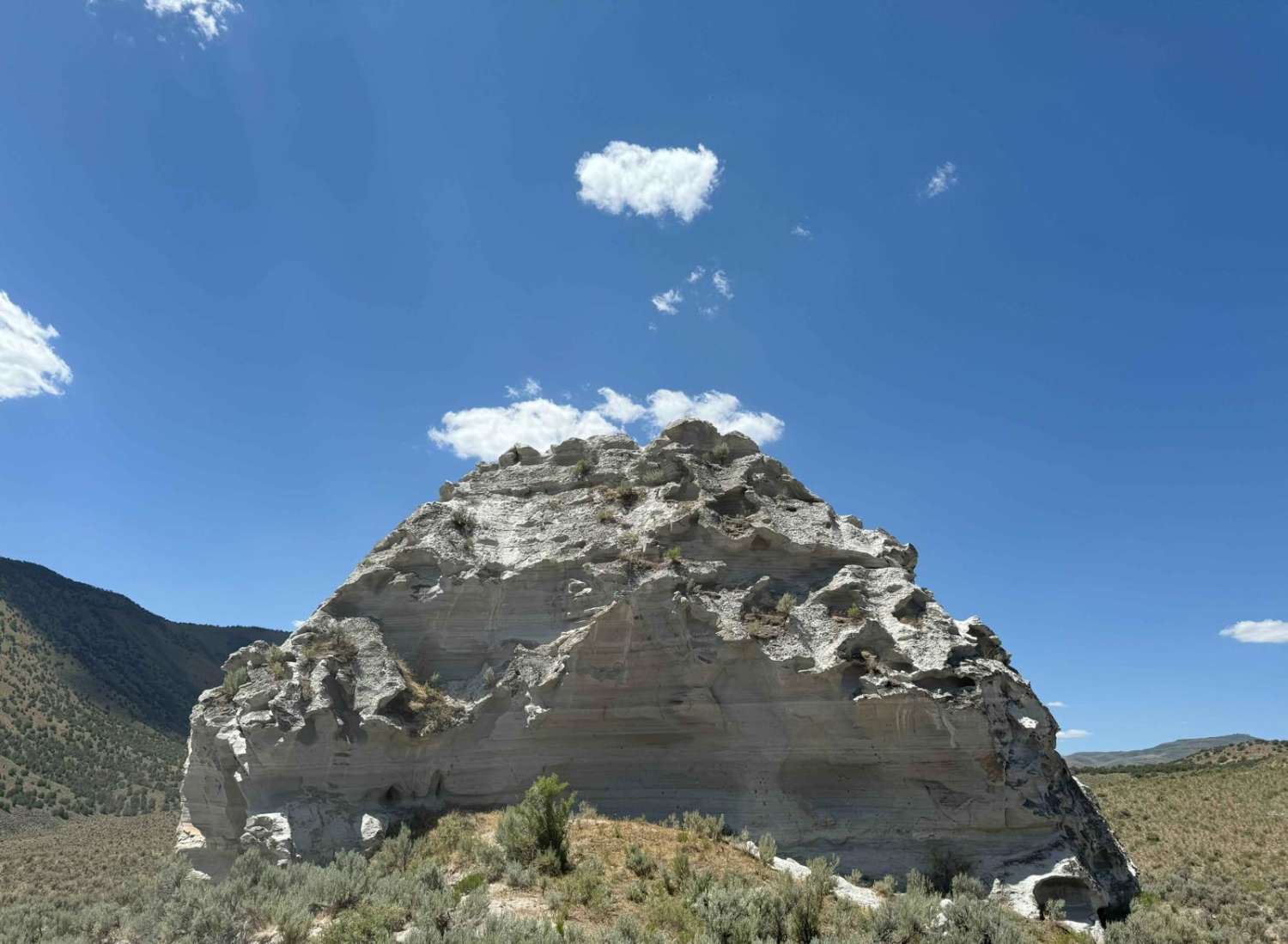
Trail Overview
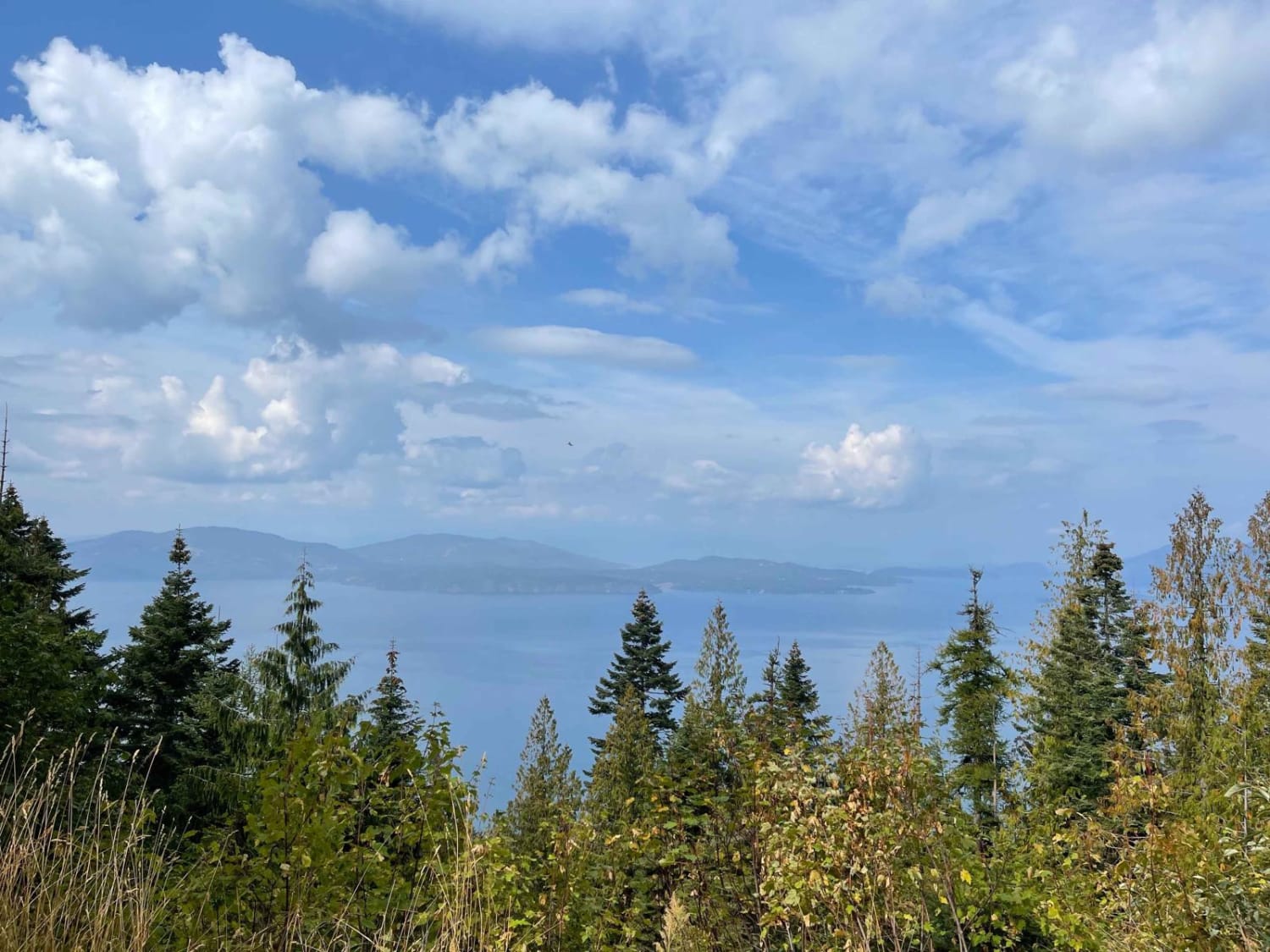
This route starts out on a nice road that winds through volcanic rock outcroppings. As you head North the road deteriorates to more of a 4x4 track. Large washouts and a couple of rocky spots on the North end require good ground clearance. You descend Sand Basin through a pretty canyon that leads back to the highway.
Photos of Canter Springs to Sand Basin Road
Difficulty
The rating is for the northern part of the trail. The Southern end is very well maintained.
Status Reports
Canter Springs to Sand Basin Road can be accessed by the following ride types:
- High-Clearance 4x4
- SUV
- SxS (60")
- ATV (50")
- Dirt Bike
Canter Springs to Sand Basin Road Map
Popular Trails
Two Tops Canyon
Johnson's Vista Trail

Road 3740 - Hawley Mountain Lookout
The onX Offroad Difference
onX Offroad combines trail photos, descriptions, difficulty ratings, width restrictions, seasonality, and more in a user-friendly interface. Available on all devices, with offline access and full compatibility with CarPlay and Android Auto. Discover what you’re missing today!