Smitty's Upper
Total Miles
4.9
Technical Rating
Best Time
Winter, Fall, Summer, Spring
Trail Type
Single Track
Accessible By
Trail Overview
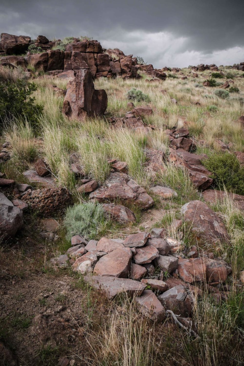
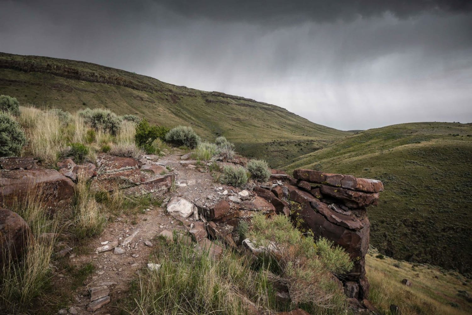
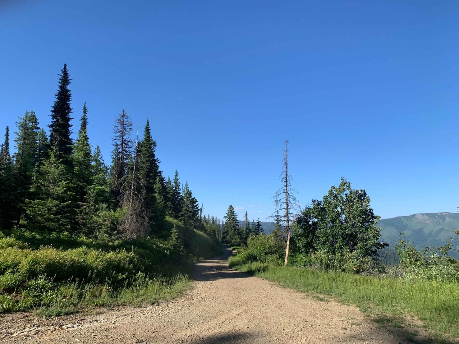
Smitty's Upper is a very fun and scenic single track in the South Hills Trail System that has more challenging rock obstacles and goes through a wide variety of terrains. It departs from Rockstar onto the rim of a hillside. It zig zags down the mountain side through a series of tight and steep switch backs that are moderate difficulty. In the beginning, the trail is mostly smooth with not too many rocks. It starts to descend and steadily loses elevation as it traverses the side of a hill above a creek with mild exposure. At the bottom of this hill there is a creek crossings through a cow pasture. It continues on, paralleling above several ravines through more sage brush. The area is scenic with taller than usual sage brush, and a really unique rock wall on the side of this canyon. The next section opens up into fast flowy single track through an expansive and wide open valley. This section is faster as it snakes through a rock-free valley of sage brush, before becoming more difficult in the next section. More switchbacks get you off of this mountain and onto the opposite hill. You switch back into a ravine and climb up the next hill side. This next hillside has significantly more rock obstacles and is the hardest part of the trail. There are several tight switch backs and rock slab obstacles or rock pinches as you climb the hill that are moderate difficulty. Some are volcanic looking rocks on black dirt. Once you are at the top of the hill, it mellows out and continues on until it meets with Smitty's Lower, which is a much easier and shorter trail.
Photos of Smitty's Upper
Difficulty
Intermediate trail with rock obstacles and very tight switch backs.
Status Reports
Smitty's Upper can be accessed by the following ride types:
- Dirt Bike
Smitty's Upper Map
Popular Trails

Galena Lagoons to Micro Wave Road
Birch Creek Free Area
Kalarney Lake to 4th of July
Miners Creek (804)
The onX Offroad Difference
onX Offroad combines trail photos, descriptions, difficulty ratings, width restrictions, seasonality, and more in a user-friendly interface. Available on all devices, with offline access and full compatibility with CarPlay and Android Auto. Discover what you’re missing today!