Lower Cub River Trail
Total Miles
2.3
Technical Rating
Best Time
Spring, Summer, Fall
Trail Type
50" Trail
Accessible By
Trail Overview
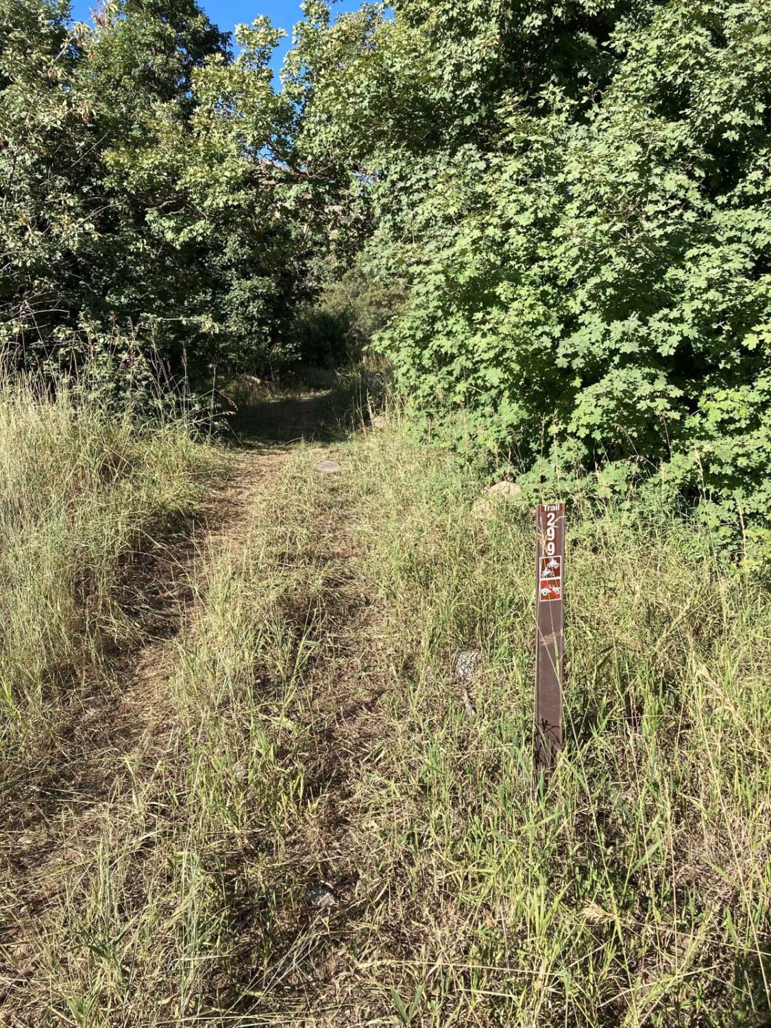
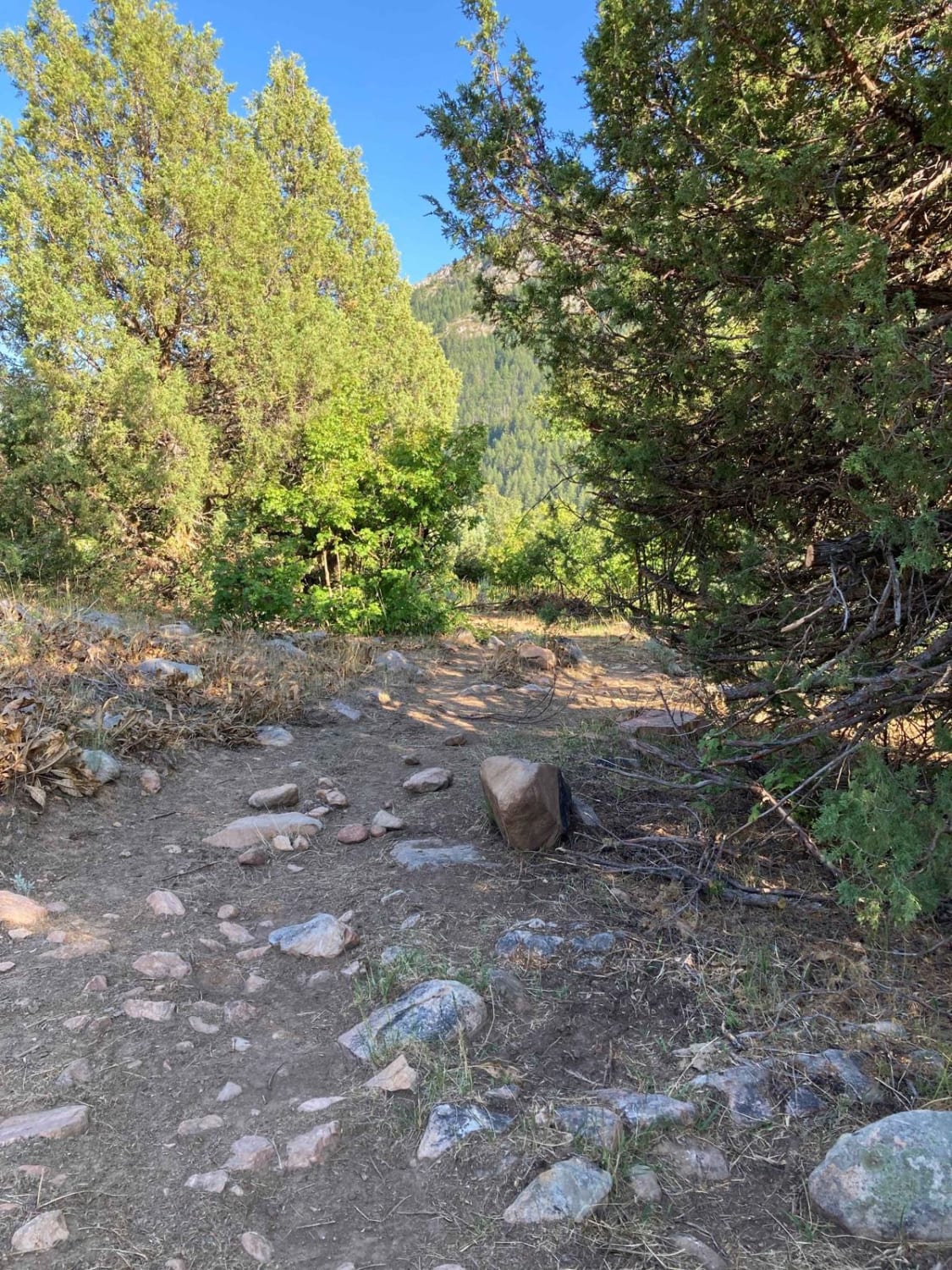
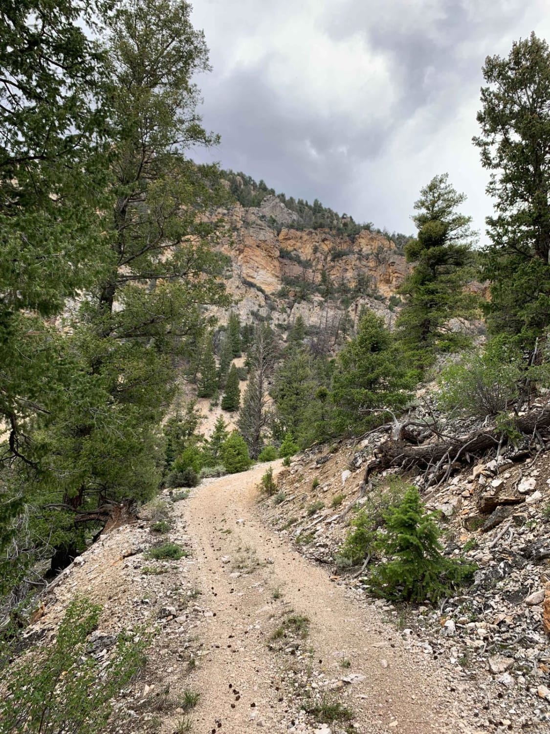
The Cub River Trail starts at the Albert Moser Trailhead in the Cub River area. This 50-inch trail parallels the Cub River Road. The trail flows through the sagebrush and scrub maples intermingled with open areas that allow views of the surrounding mountains. The trail has spurs that connect to the Cub River Ranger Station and Marijuana Flat dispersed camping area, allowing multiple points of access. The primary use of the trail is to redirect OHV traffic off of the busy Cub River Road. The south end of the trail has very little use from the Albert Moser Trailhead due to the large number of embedded and loose rocks. The mid and upper sections have more use, are more fun, and are easier to follow. This section of trail ends at Birch Creek Road.
Photos of Lower Cub River Trail
Difficulty
The south end of the trail is littered with embedded and loose rocks from 4 to 12 inches.
History
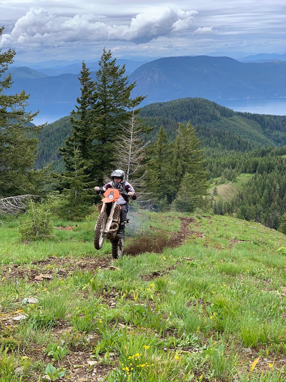
This trail was created to reduce the amount of traffic on the Cub River Road, allowing ATVs and dirt bikes an alternate trail to access the area.
Status Reports
Lower Cub River Trail can be accessed by the following ride types:
- ATV (50")
- Dirt Bike
Lower Cub River Trail Map
Popular Trails
Lake Pend Oreille Trails

Leaton Gulch Up and Over Grouse Mountain

Modoc-Coral Creek Trail
The onX Offroad Difference
onX Offroad combines trail photos, descriptions, difficulty ratings, width restrictions, seasonality, and more in a user-friendly interface. Available on all devices, with offline access and full compatibility with CarPlay and Android Auto. Discover what you’re missing today!