Modoc-Coral Creek Trail
Total Miles
3.8
Technical Rating
Best Time
Summer, Fall
Trail Type
50" Trail
Accessible By
Trail Overview
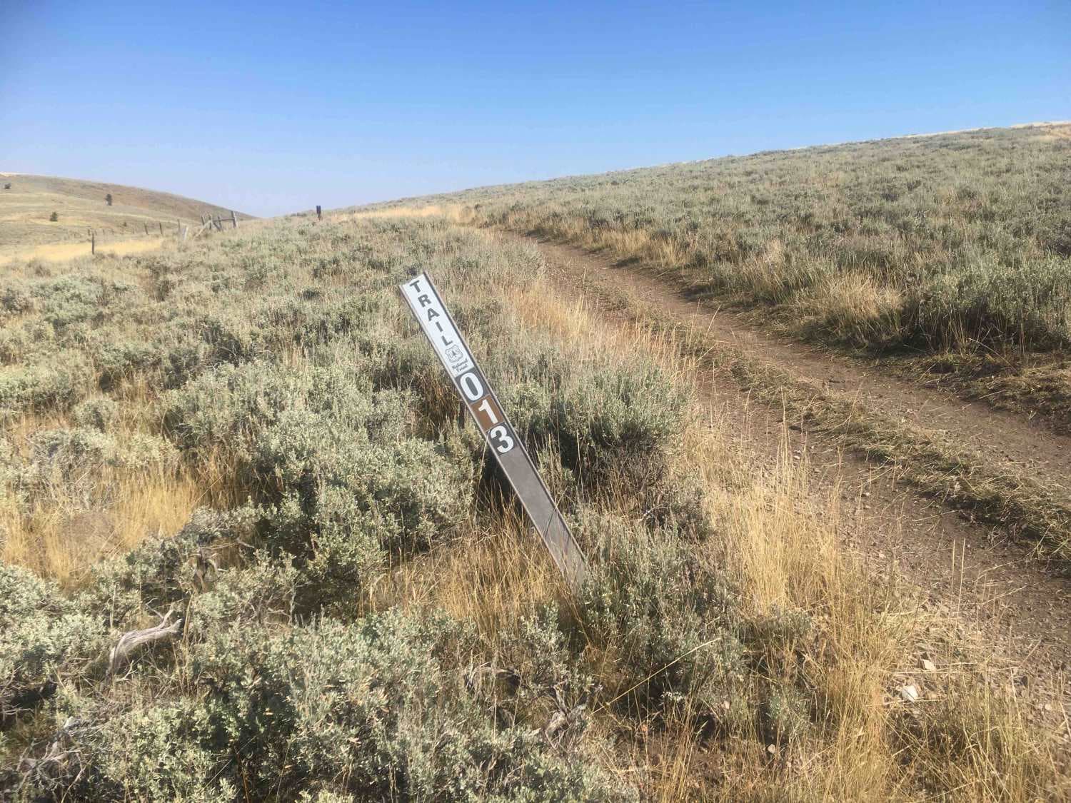
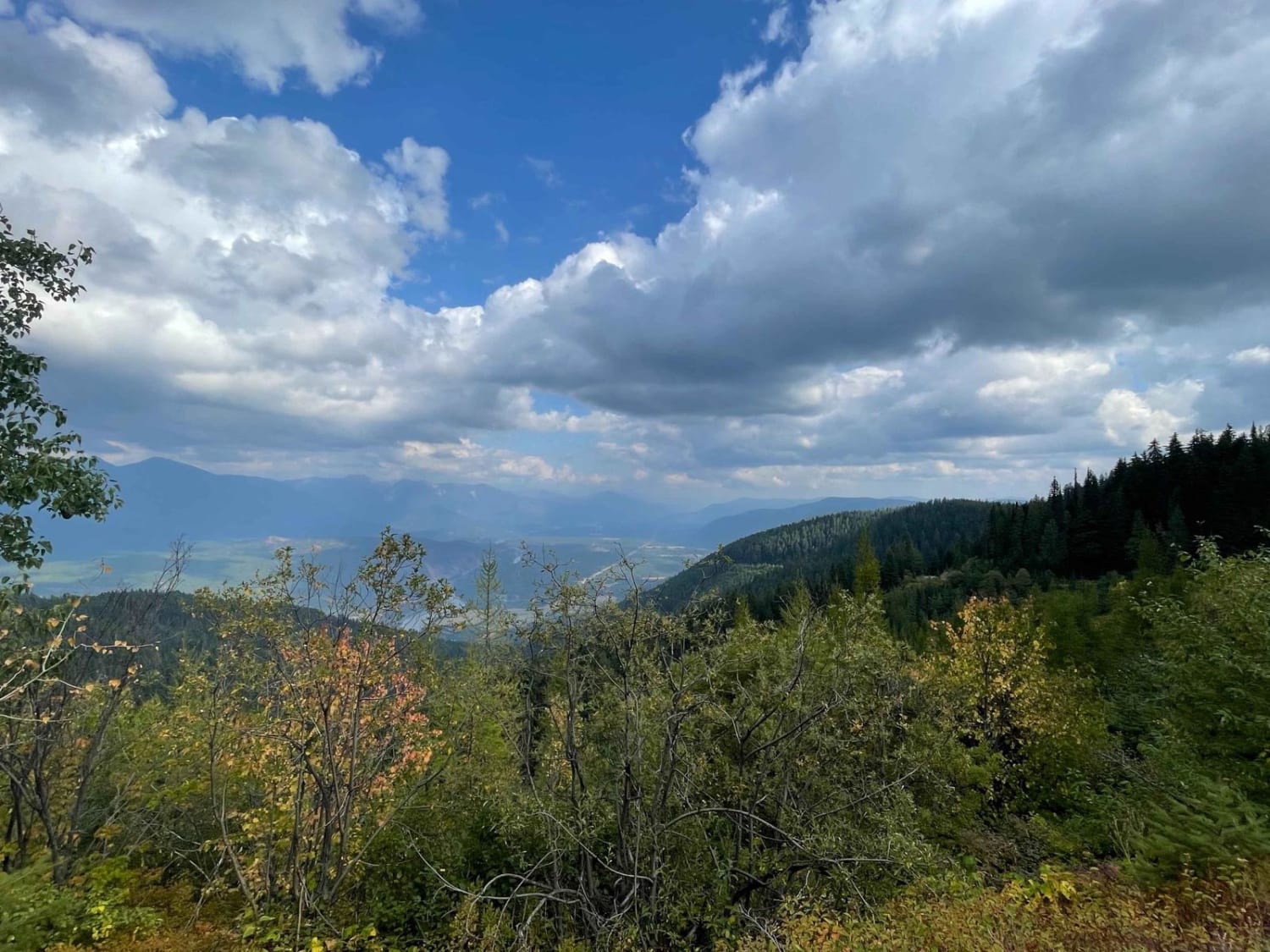
This trail's elevation is above 8,000 feet for its entire length and tops out at 8,900 feet. The trail crawls along grassy alpine ridges with steep rocky ups and downs that seem to go on forever. This is a good place for the full alpine experience. There are whole new varieties and species of plants and animals at these elevations and the sharp cool air is refreshing. The views are great and you can see far in every direction.
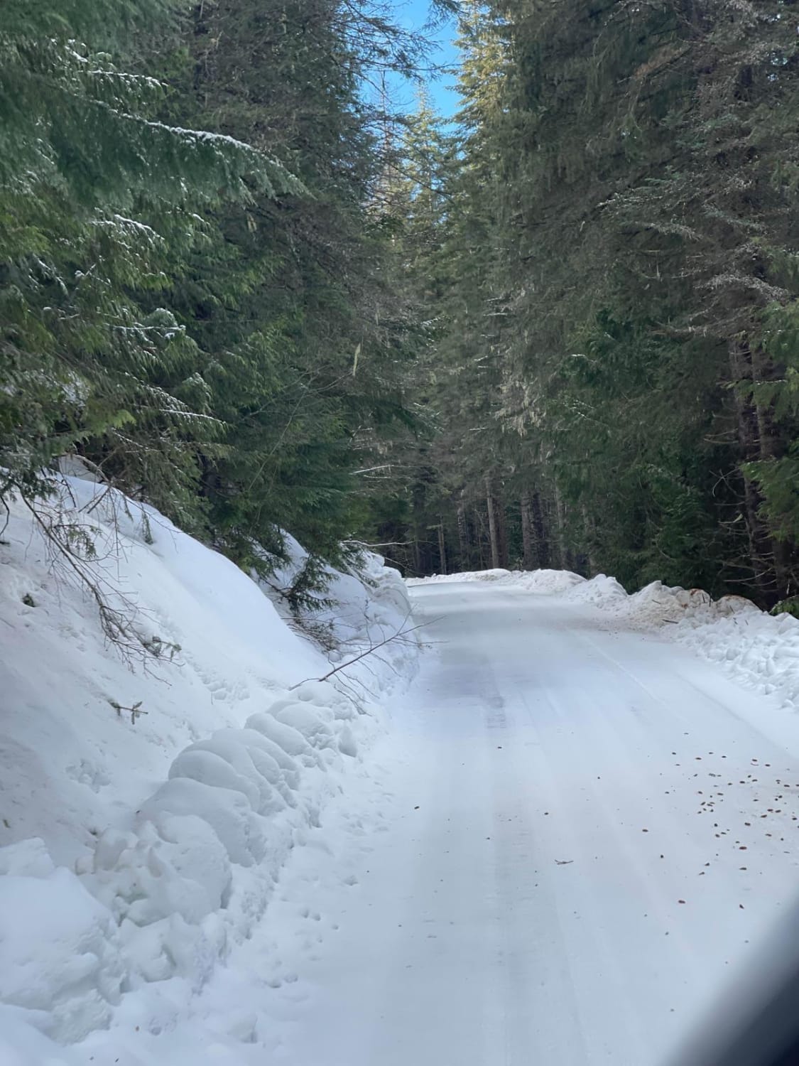
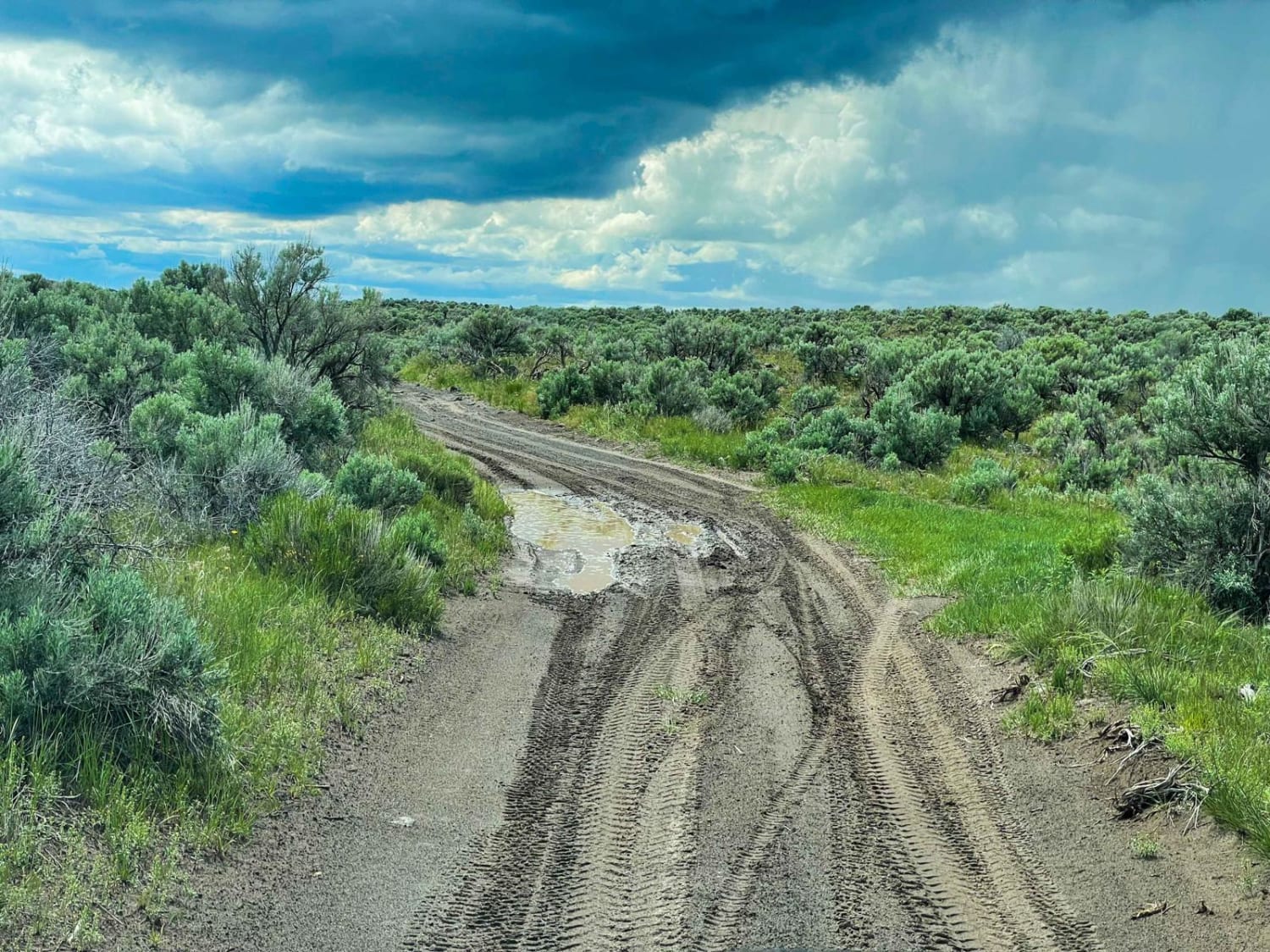
Photos of Modoc-Coral Creek Trail

Difficulty
Some of the ascents and descents are long and definitely of the low-range 4WD variety.
Status Reports
Modoc-Coral Creek Trail can be accessed by the following ride types:
- ATV (50")
- Dirt Bike
Modoc-Coral Creek Trail Map
Popular Trails
Quartz Creek 416
Menan Butte to Market Lake

Hess Park #3598
The onX Offroad Difference
onX Offroad combines trail photos, descriptions, difficulty ratings, width restrictions, seasonality, and more in a user-friendly interface. Available on all devices, with offline access and full compatibility with CarPlay and Android Auto. Discover what you’re missing today!