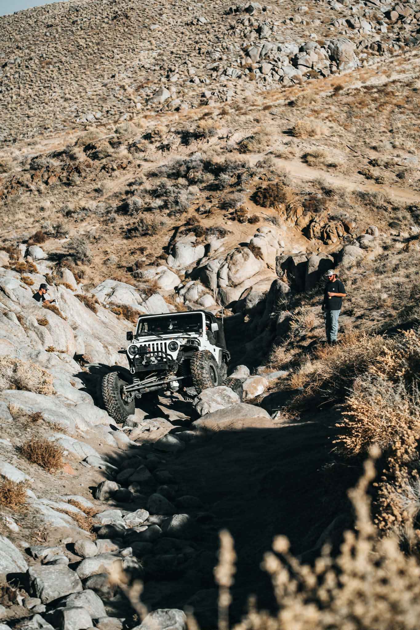
Off-Road Trails in Idaho
Discover off-road trails in Idaho
Learn more about McBride Creek and Jump Creek Road
McBride Creek and Jump Creek Road
Total Miles
7.2
Tech Rating
Easy
Best Time
Spring, Summer, Fall
Learn more about McPherson #3324
McPherson #3324
Total Miles
2.4
Tech Rating
Moderate
Best Time
Summer, Fall
Learn more about Meadow - Sadie Springs #5225
Meadow - Sadie Springs #5225
Total Miles
4.3
Tech Rating
Moderate
Best Time
Summer, Fall
Learn more about Meadow Creek Road
Meadow Creek Road
Total Miles
7.9
Tech Rating
Easy
Best Time
Spring, Summer, Fall
Learn more about Meadows Goose Lake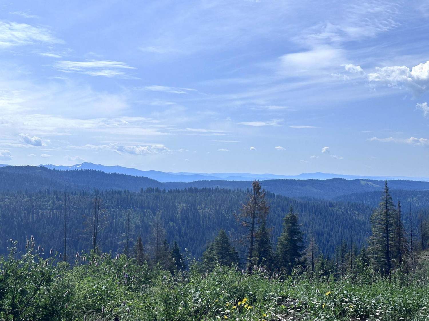
Meadows Goose Lake
Total Miles
11.0
Tech Rating
Easy
Best Time
Summer, Fall
Learn more about Menan Butte to Market Lake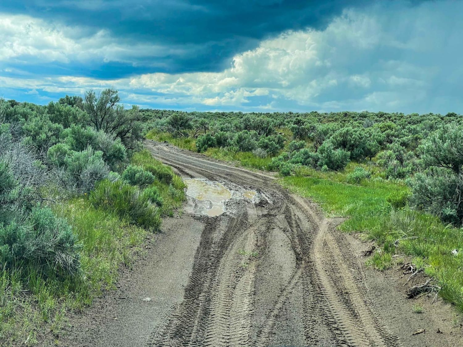
Menan Butte to Market Lake
Total Miles
13.8
Tech Rating
Moderate
Best Time
Spring, Summer, Fall
Learn more about Middle Fork Little Timber Creek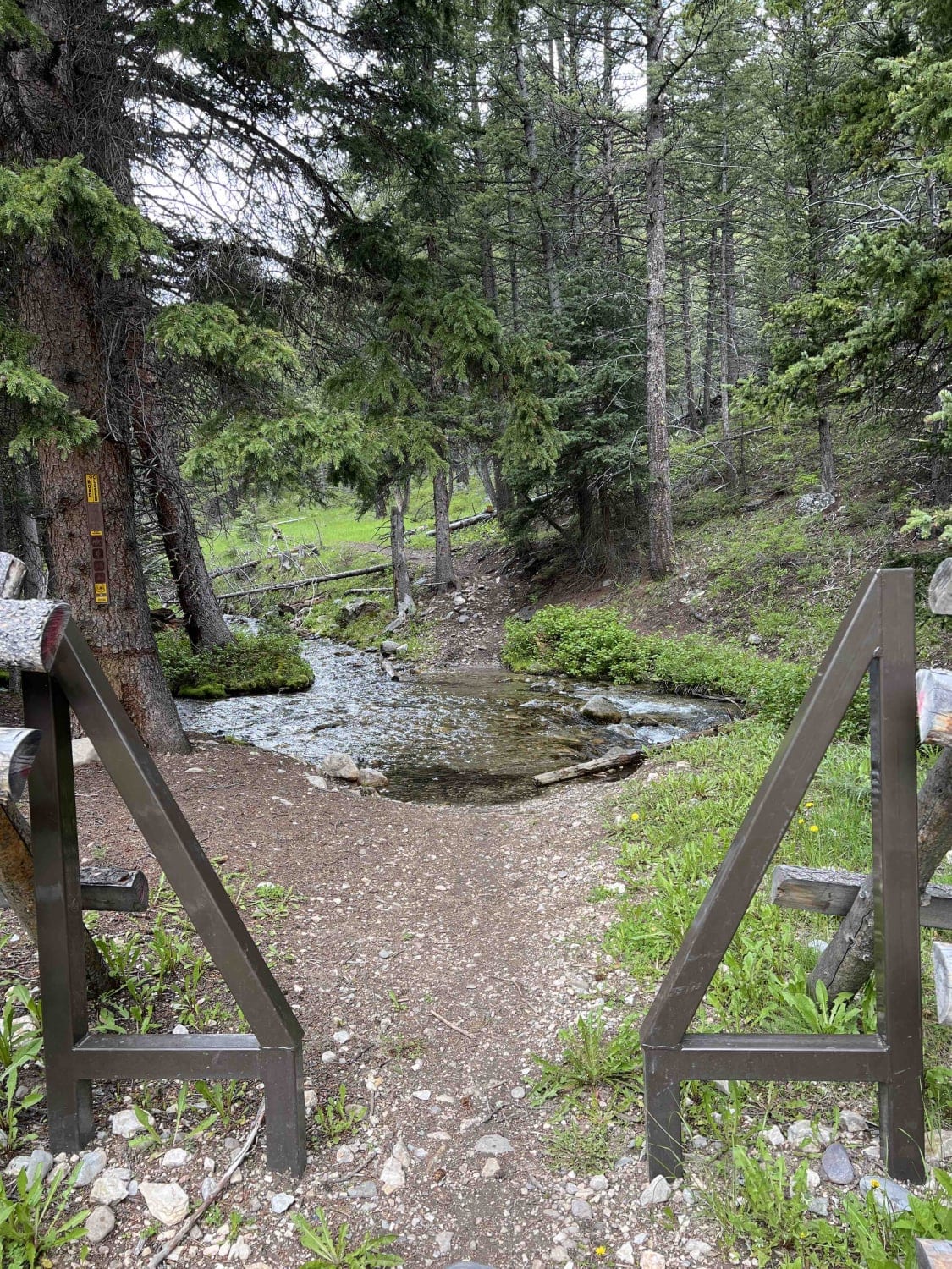
Middle Fork Little Timber Creek
Total Miles
3.5
Tech Rating
Easy
Best Time
Fall, Summer
Learn more about Middle Fork North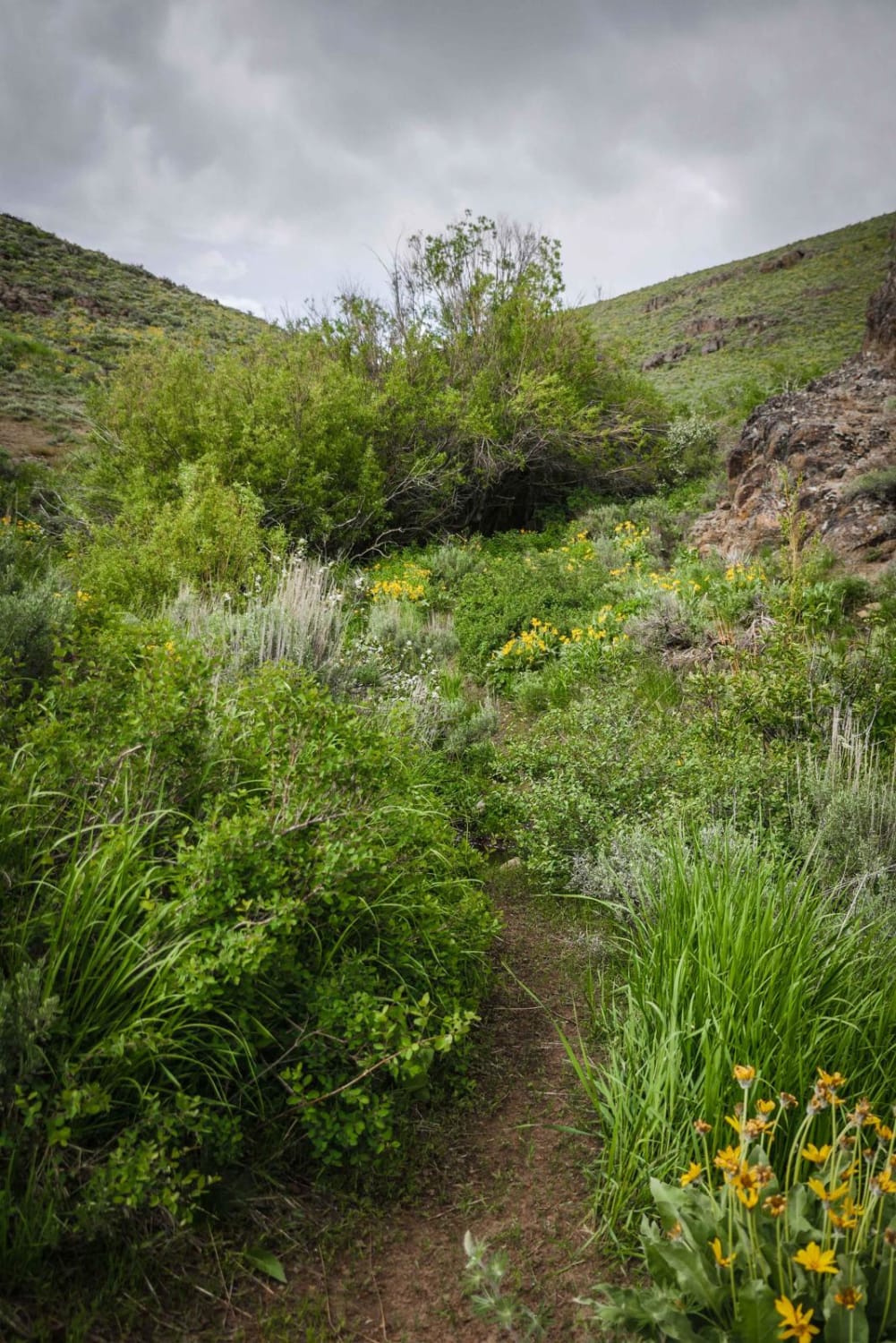
Middle Fork North
Total Miles
1.1
Tech Rating
Easy
Best Time
Fall, Summer, Spring
Learn more about Middle Fork Pass Creek Trail
Middle Fork Pass Creek Trail
Total Miles
5.4
Tech Rating
Moderate
Best Time
Summer, Fall
Learn more about Middle Fork Road
Middle Fork Road
Total Miles
23.2
Tech Rating
Easy
Best Time
Fall, Summer, Spring
Learn more about Middle Fork Shoshone Creek 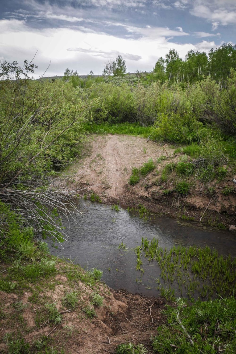
Middle Fork Shoshone Creek
Total Miles
3.6
Tech Rating
Moderate
Best Time
Summer, Spring, Fall
Learn more about Middle Fork Shoshone Creek Spur 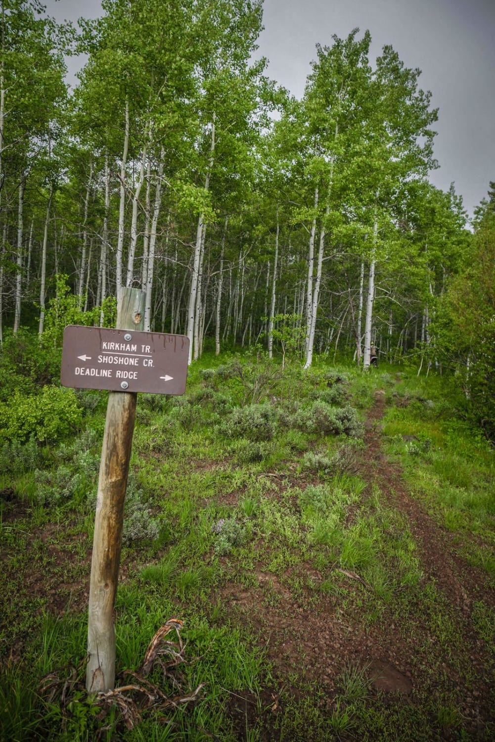
Middle Fork Shoshone Creek Spur
Total Miles
0.7
Tech Rating
Easy
Best Time
Fall, Summer, Spring
Learn more about Middle Fork Warm Springs - FS 7150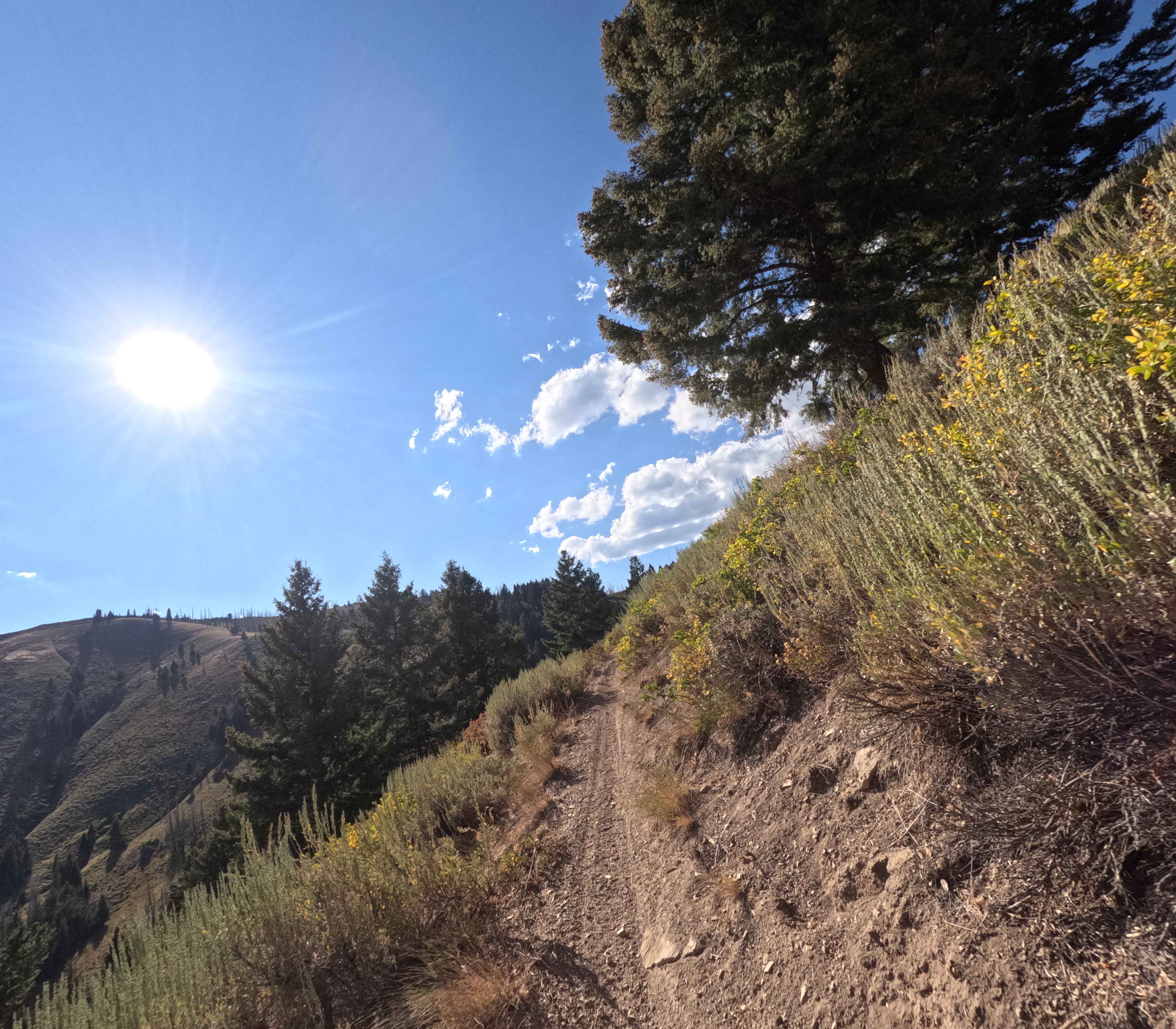
Middle Fork Warm Springs - FS 7150
Total Miles
6.1
Tech Rating
Moderate
Best Time
Summer, Fall
Learn more about Middle Fork Weiser
Middle Fork Weiser
Total Miles
28.3
Tech Rating
Easy
Best Time
Spring, Summer, Fall
Learn more about Middle Fork-South Fork 1 - FS 7199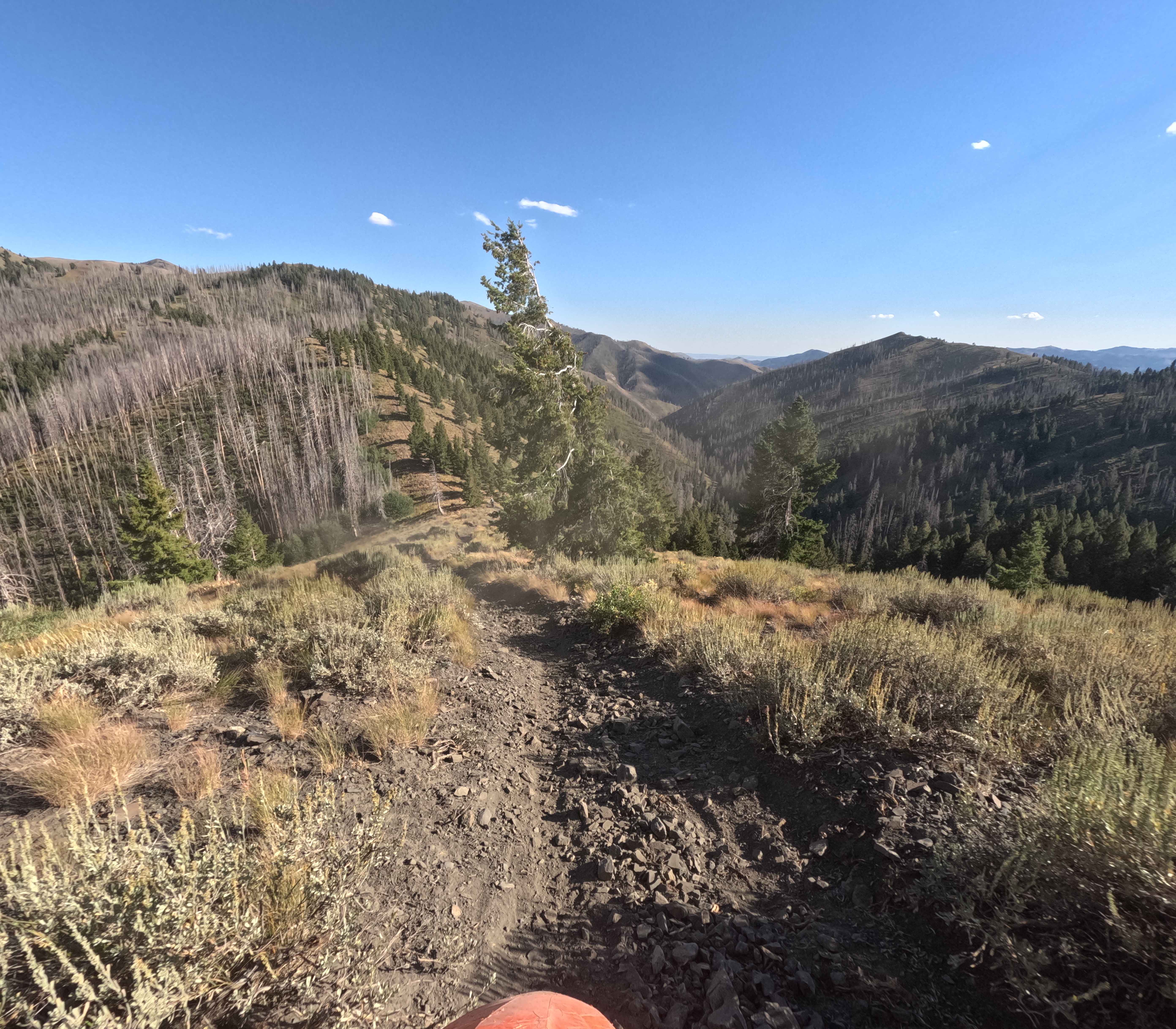
Middle Fork-South Fork 1 - FS 7199
Total Miles
2.0
Tech Rating
Easy
Best Time
Summer, Fall
Learn more about Middle Fork-South Fork 2 - FS 7199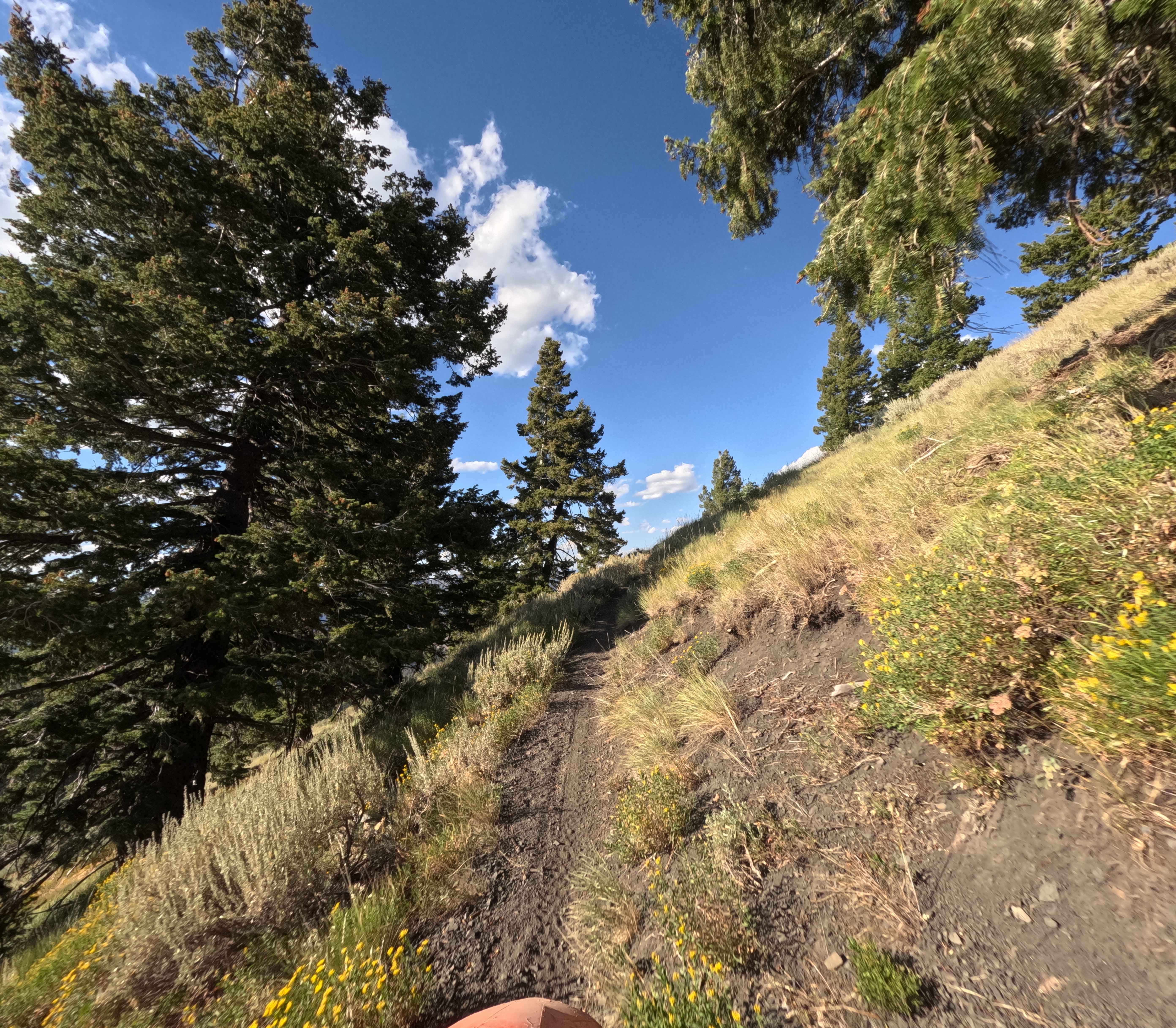
Middle Fork-South Fork 2 - FS 7199
Total Miles
4.3
Tech Rating
Easy
Best Time
Summer, Fall
Learn more about Middle Rim to Overlook Camp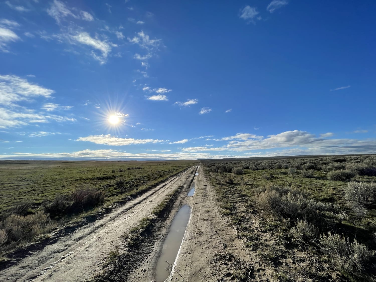
Middle Rim to Overlook Camp
Total Miles
2.2
Tech Rating
Easy
Best Time
Fall, Summer, Spring
Learn more about Middle Skills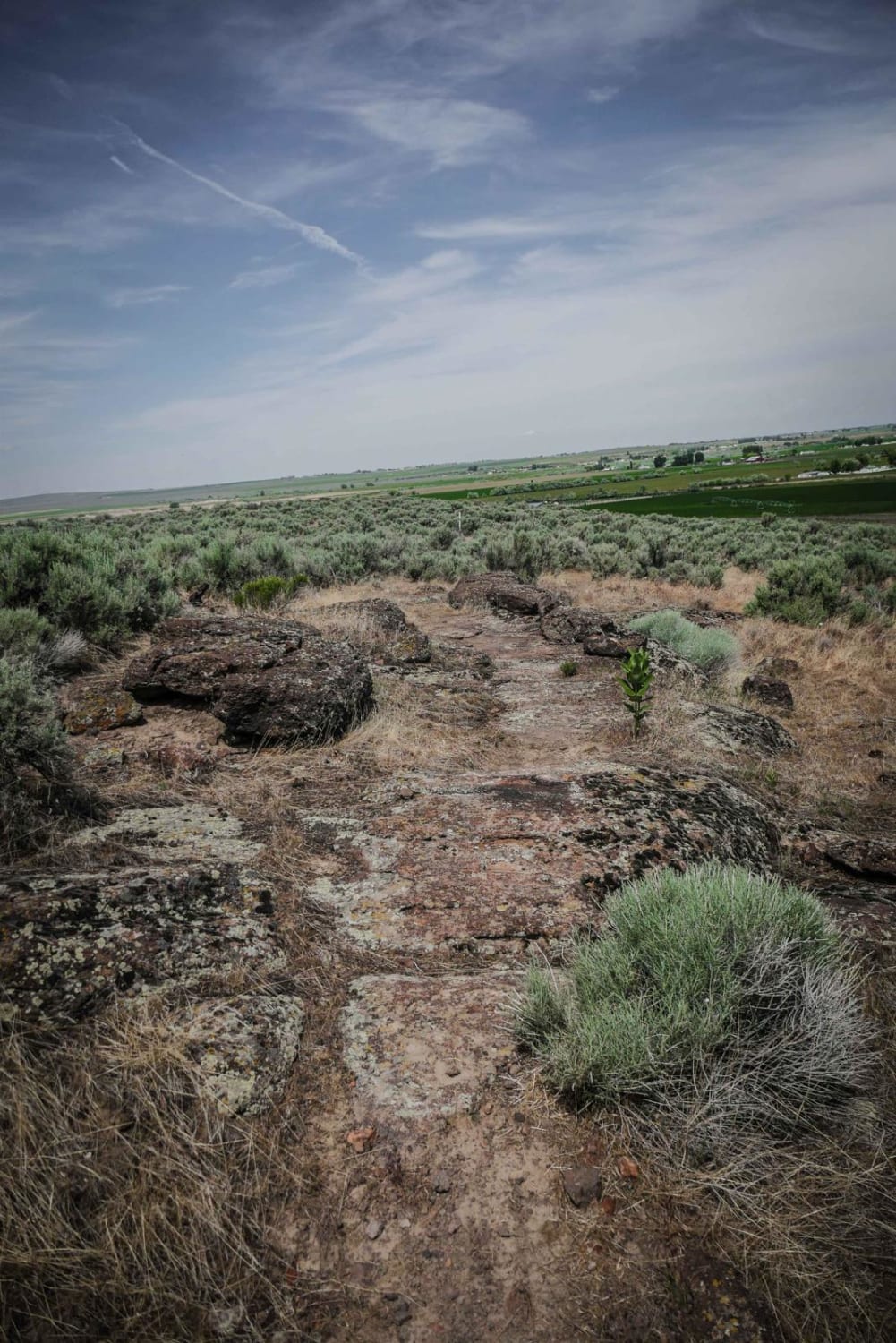
Middle Skills
Total Miles
0.8
Tech Rating
Easy
Best Time
Winter, Fall, Summer, Spring
ATV trails in Idaho
Learn more about Aspen Range - Middle Sulphur #5248 
Aspen Range - Middle Sulphur #5248
Total Miles
1.9
Tech Rating
Easy
Best Time
Summer, Fall
Learn more about Dry Fork - Meadow Springs #5226 
Dry Fork - Meadow Springs #5226
Total Miles
0.4
Tech Rating
Easy
Best Time
Summer, Fall
Learn more about South Foothill Road
South Foothill Road
Total Miles
8.2
Tech Rating
Moderate
Best Time
Summer, Fall

UTV/side-by-side trails in Idaho
Learn more about South Foothill Road
South Foothill Road
Total Miles
8.2
Tech Rating
Moderate
Best Time
Summer, Fall

Learn more about 21 To Nip & Tuck
21 To Nip & Tuck
Total Miles
1.4
Tech Rating
Easy
Best Time
Fall, Summer, Spring

The onX Offroad Difference
onX Offroad combines trail photos, descriptions, difficulty ratings, width restrictions, seasonality, and more in a user-friendly interface. Available on all devices, with offline access and full compatibility with CarPlay and Android Auto. Discover what you’re missing today!