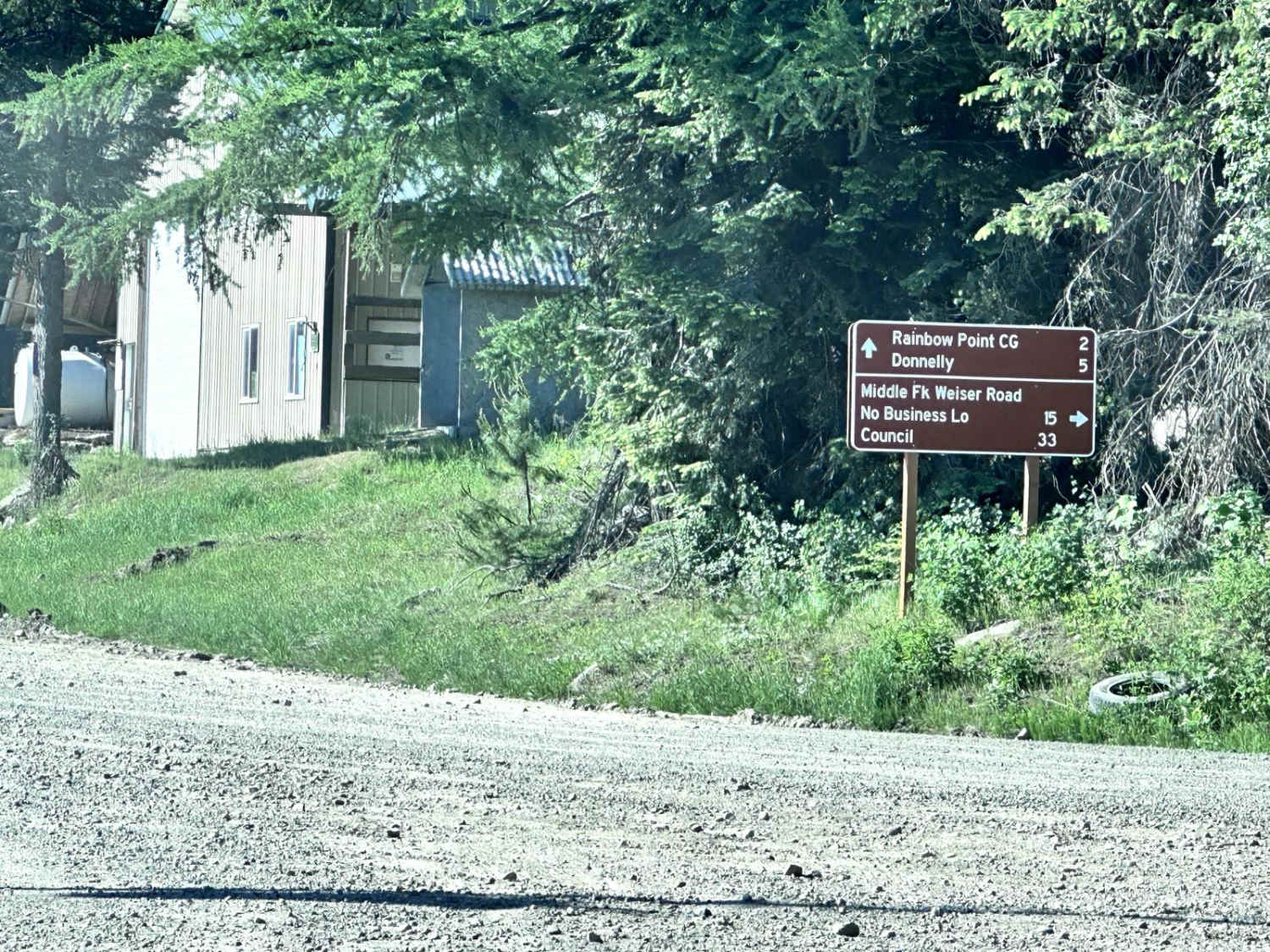
Middle Fork Weiser
Total Miles
28.3
Technical Rating
Best Time
Spring, Summer, Fall
Trail Type
Full-Width Road
Accessible By
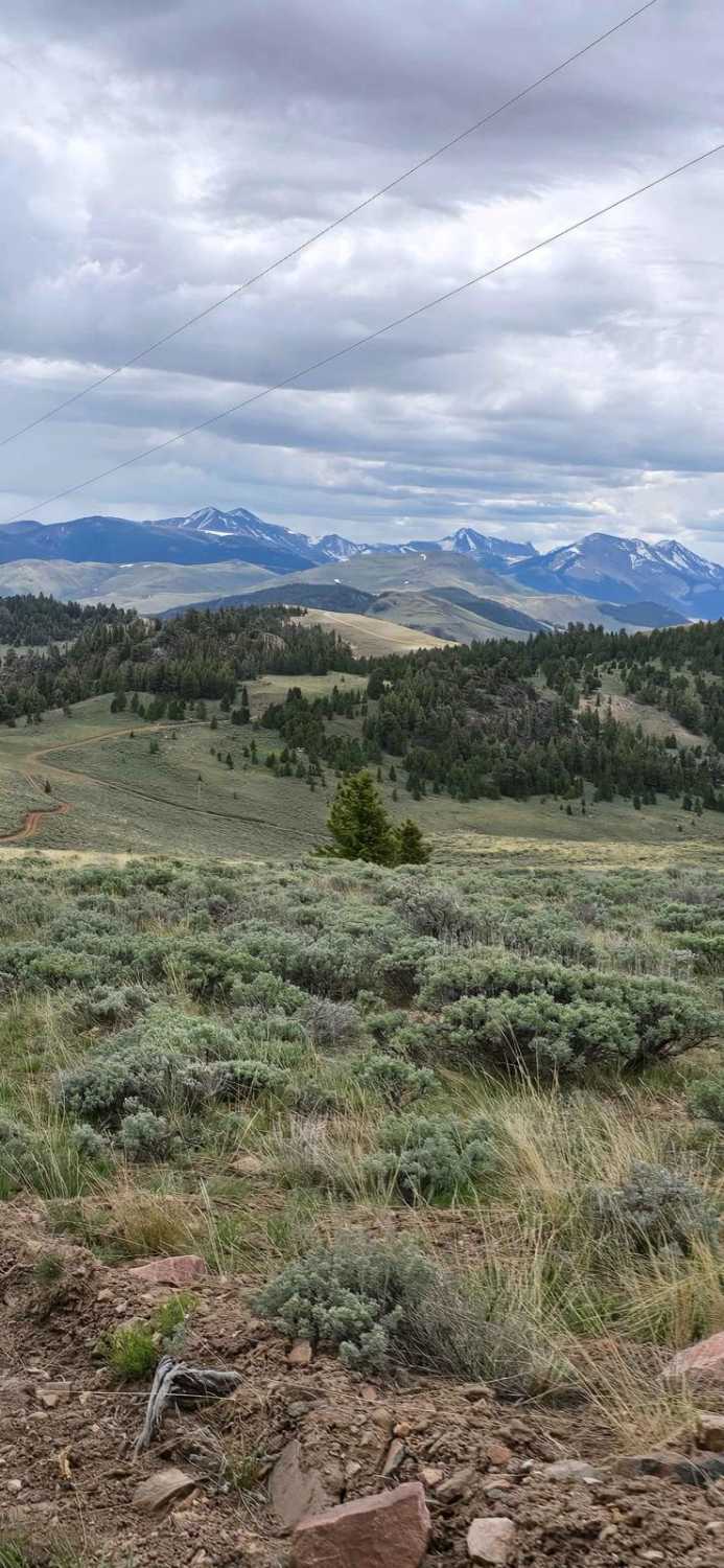
Trail Overview
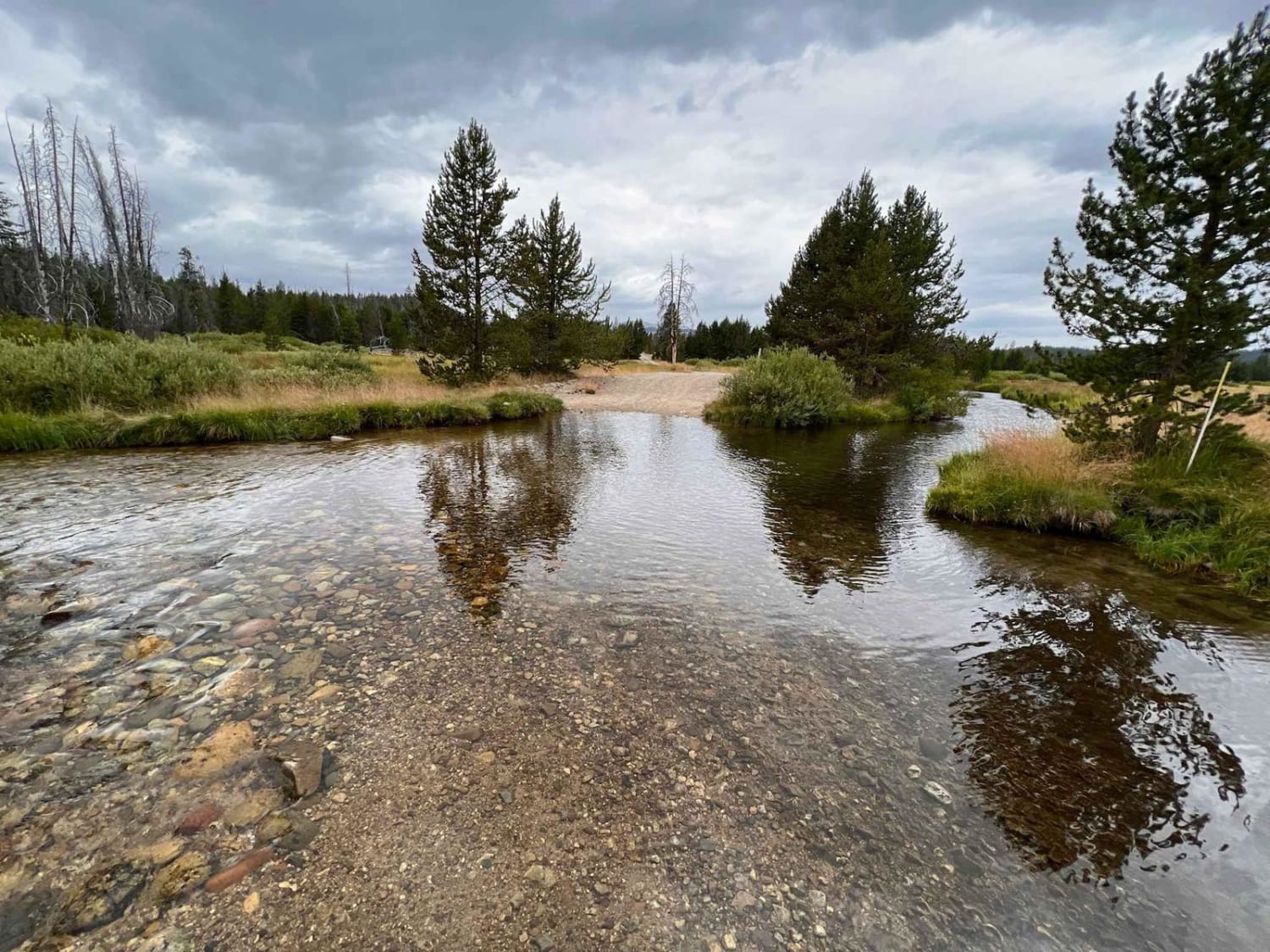
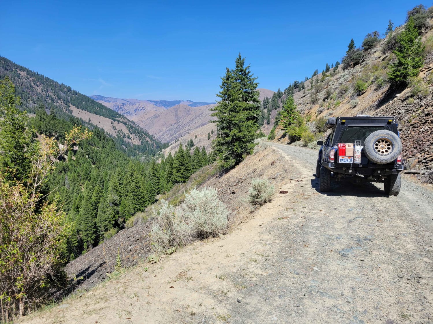
Middle Fork Weiser is a 25.8-mile point-to-point road that crosses the West Mountains and parallels the Middle Fork of the Weiser River. This road gives access to several good hiking trails (Sheep Creek and Warm Spring Creek) and the Cabin Creek Campground. This is a maintained forest service road with light washboarding and shallow mud holes. Middle Fork Weiser road passes through private property; remain on the road in those areas.
Photos of Middle Fork Weiser

Difficulty
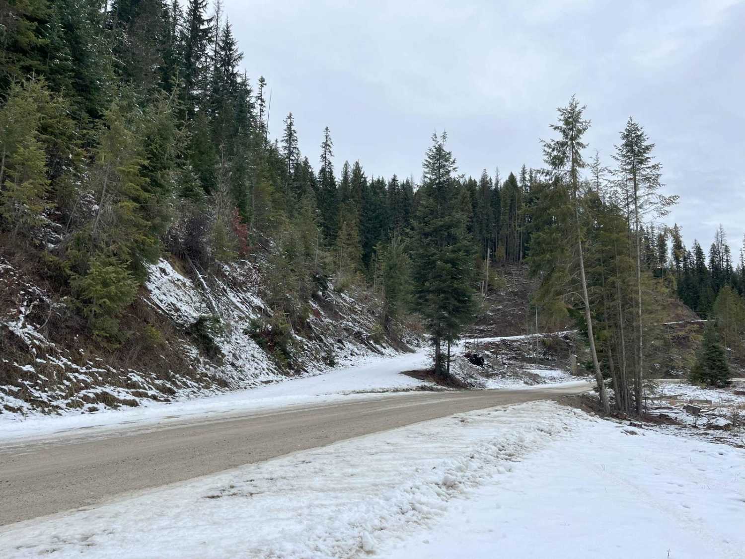
This is a maintained Forest Service road with light washboarding and shallow mud holes. Snow in early Spring and late Fall can make this trail impassable.
Middle Fork Weiser can be accessed by the following ride types:
- High-Clearance 4x4
- SUV
- SxS (60")
- ATV (50")
- Dirt Bike
Middle Fork Weiser Map
Popular Trails
Cow Lane Bypass
Into The Salmon Forest
Lost River Range Loop
The onX Offroad Difference
onX Offroad combines trail photos, descriptions, difficulty ratings, width restrictions, seasonality, and more in a user-friendly interface. Available on all devices, with offline access and full compatibility with CarPlay and Android Auto. Discover what you’re missing today!