McPherson #3324
Total Miles
2.4
Technical Rating
Best Time
Summer, Fall
Trail Type
Single Track
Accessible By
Trail Overview
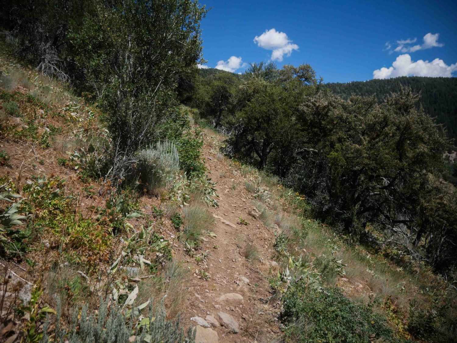
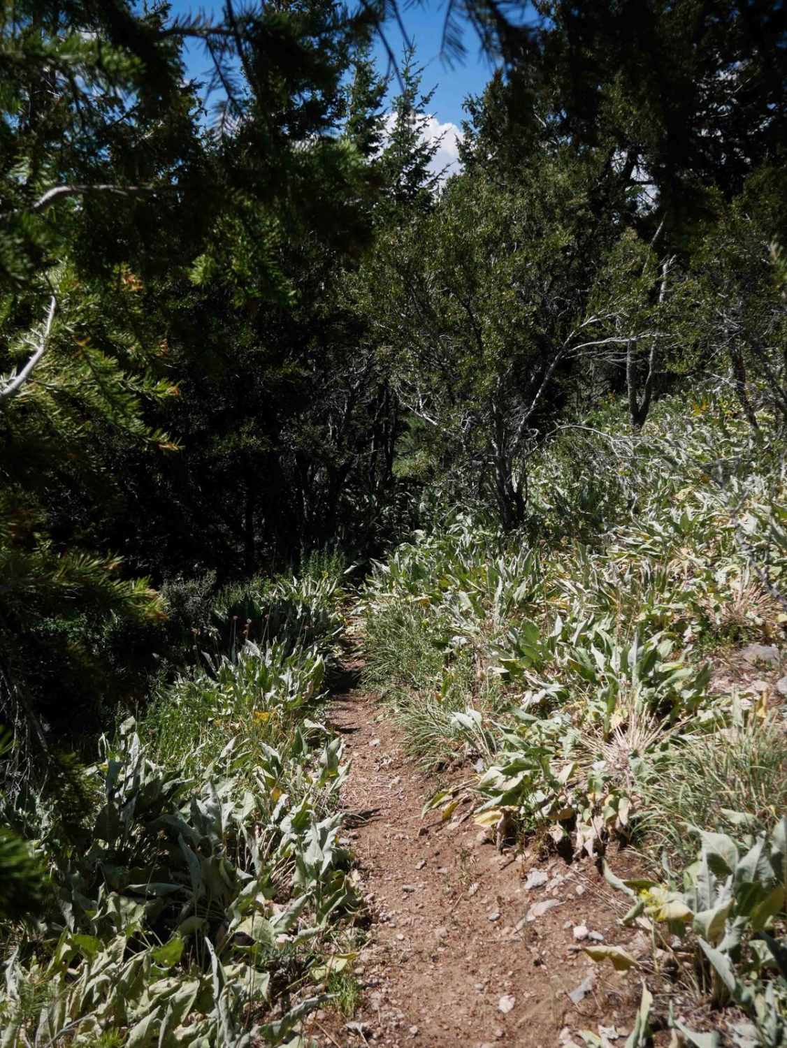
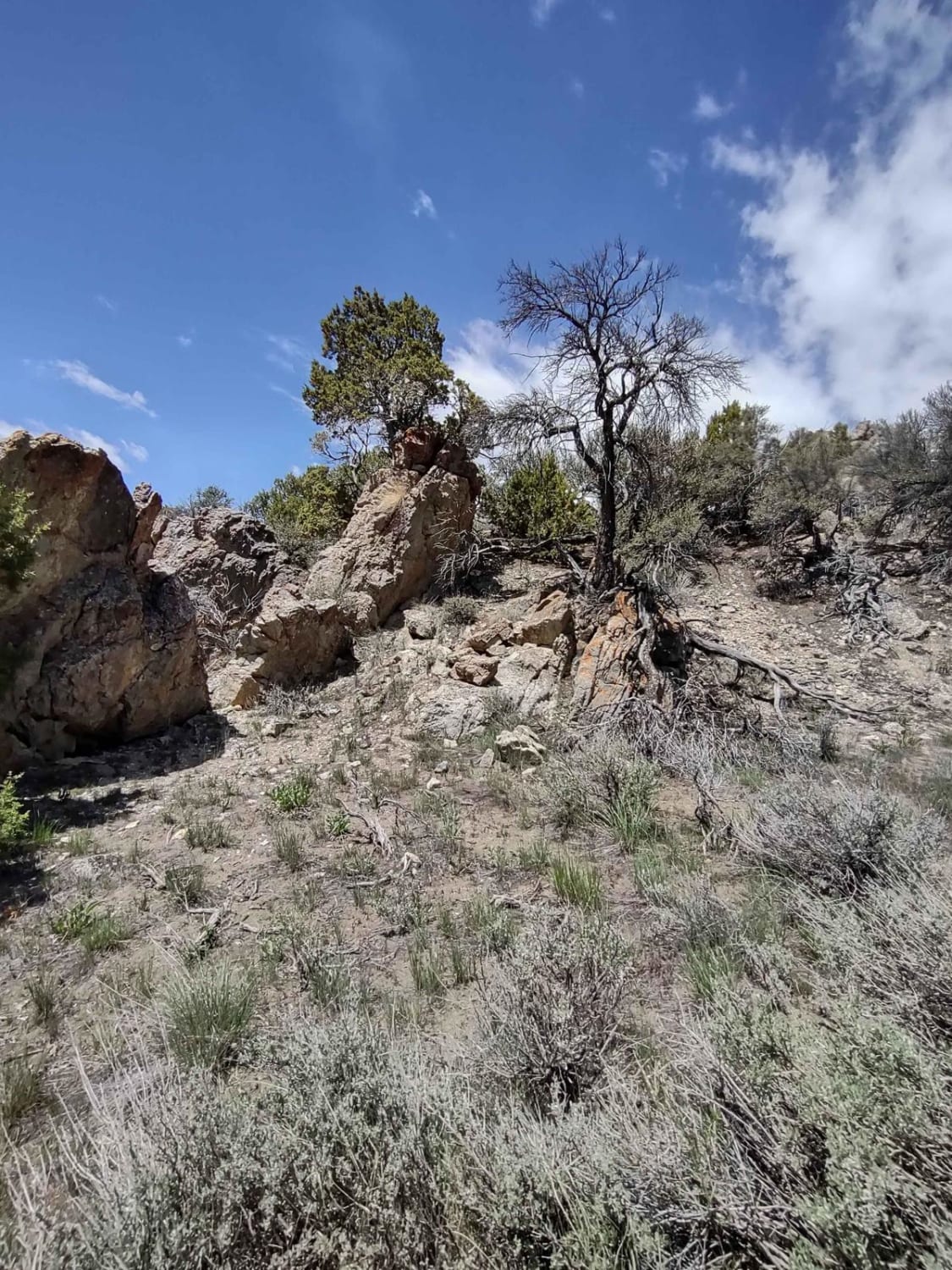
McPherson #3324 is a 2.4-mile-long single track that descends from the Highline ATV Trail to McPherson Canyon Road. The entire route is narrow and exposed, traversing dry, low alpine hillsides lined with shrubbery, with scattered mahogany and Douglas fir trees. Most of the trail is relatively smooth, but several moderate rock obstacles are present and become more technical due to the high-consequence exposure. You'll be side-hilling for the entire route, with a few key sections where sliding off the trail could have serious consequences, making it not ideal for newbies or those scared of heights. The grade is semi-steep but consistent, and the southern end widens slightly and flattens out with some loose rock before the trail ends. Overgrown shrubs limit visibility in places, but you get wide open scenic views for much of the trail, overlooking the mountain valleys, and passing a scenic rock outcropping.
Photos of McPherson #3324
Difficulty
This is an intermediate trail due to its exposed, narrow path, side-hilling terrain, and a few rock obstacles. While the surface is generally smooth, the exposure and technical features raise the difficulty.
Status Reports
McPherson #3324 can be accessed by the following ride types:
- Dirt Bike
McPherson #3324 Map
Popular Trails
Arco Pass to Horsethief Spur #6

South Foothill Road

Cape Horn Mountain

East Fork Weiser
The onX Offroad Difference
onX Offroad combines trail photos, descriptions, difficulty ratings, width restrictions, seasonality, and more in a user-friendly interface. Available on all devices, with offline access and full compatibility with CarPlay and Android Auto. Discover what you’re missing today!