East Fork Weiser
Total Miles
13.6
Technical Rating
Best Time
Spring, Summer, Fall
Trail Type
Full-Width Road
Accessible By
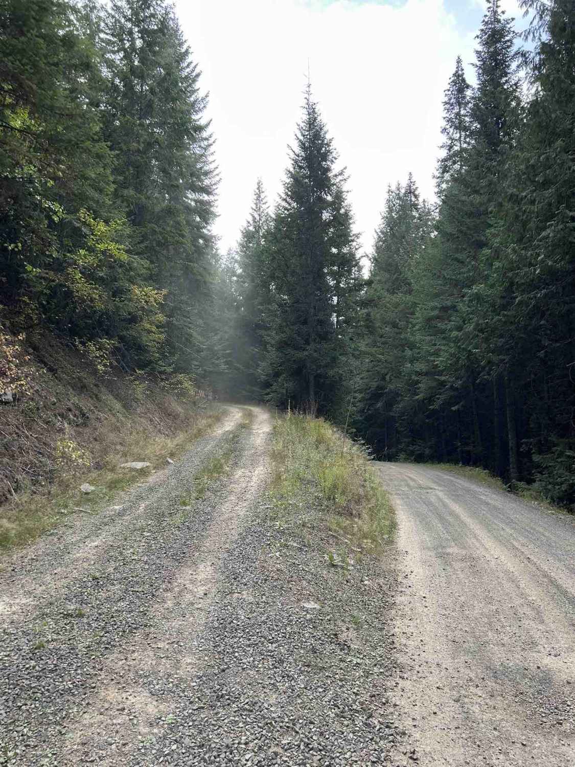
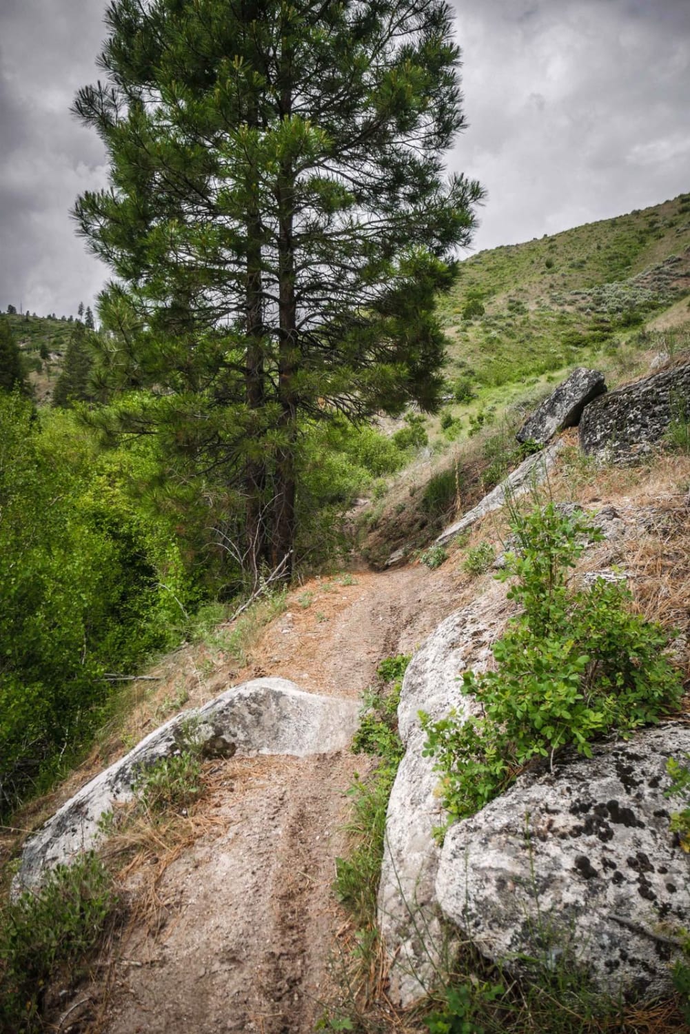
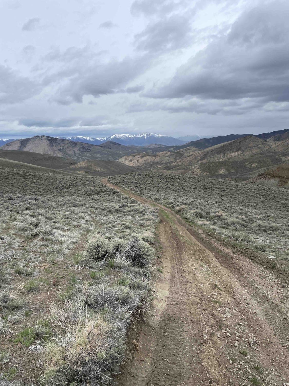
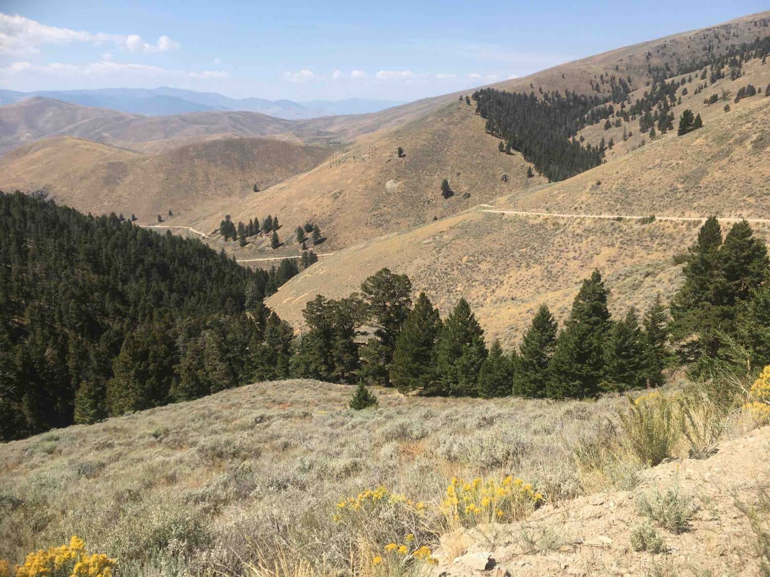
Trail Overview
East Fork Weiser is a 13.5-mile point-to-point trail that parallels the East Fork of the Weiser River. This winding trail takes you up into the West Mountains and connects to several other trails. This is a maintained Forest Service Road with light washboarding and shallow mud holes. This trail may be blocked by snow in the winter months.
Photos of East Fork Weiser


Difficulty
This trail is a maintained Forest Service Road with light washboarding and shallow mud holes.
Status Reports
East Fork Weiser can be accessed by the following ride types:
- High-Clearance 4x4
- SUV
- SxS (60")
- ATV (50")
- Dirt Bike
East Fork Weiser Map
Popular Trails
Treasure Gulch - FS 1418
Broken Wagon
The onX Offroad Difference
onX Offroad combines trail photos, descriptions, difficulty ratings, width restrictions, seasonality, and more in a user-friendly interface. Available on all devices, with offline access and full compatibility with CarPlay and Android Auto. Discover what you’re missing today!