Middle Fork North
Total Miles
1.1
Technical Rating
Best Time
Fall, Summer, Spring
Trail Type
Single Track
Accessible By
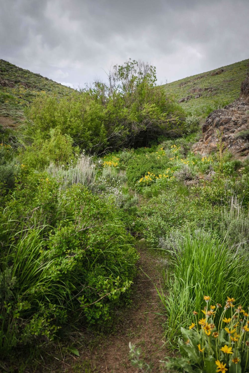
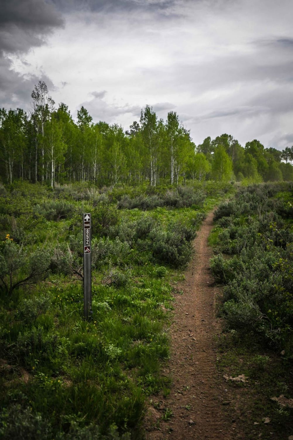
Trail Overview
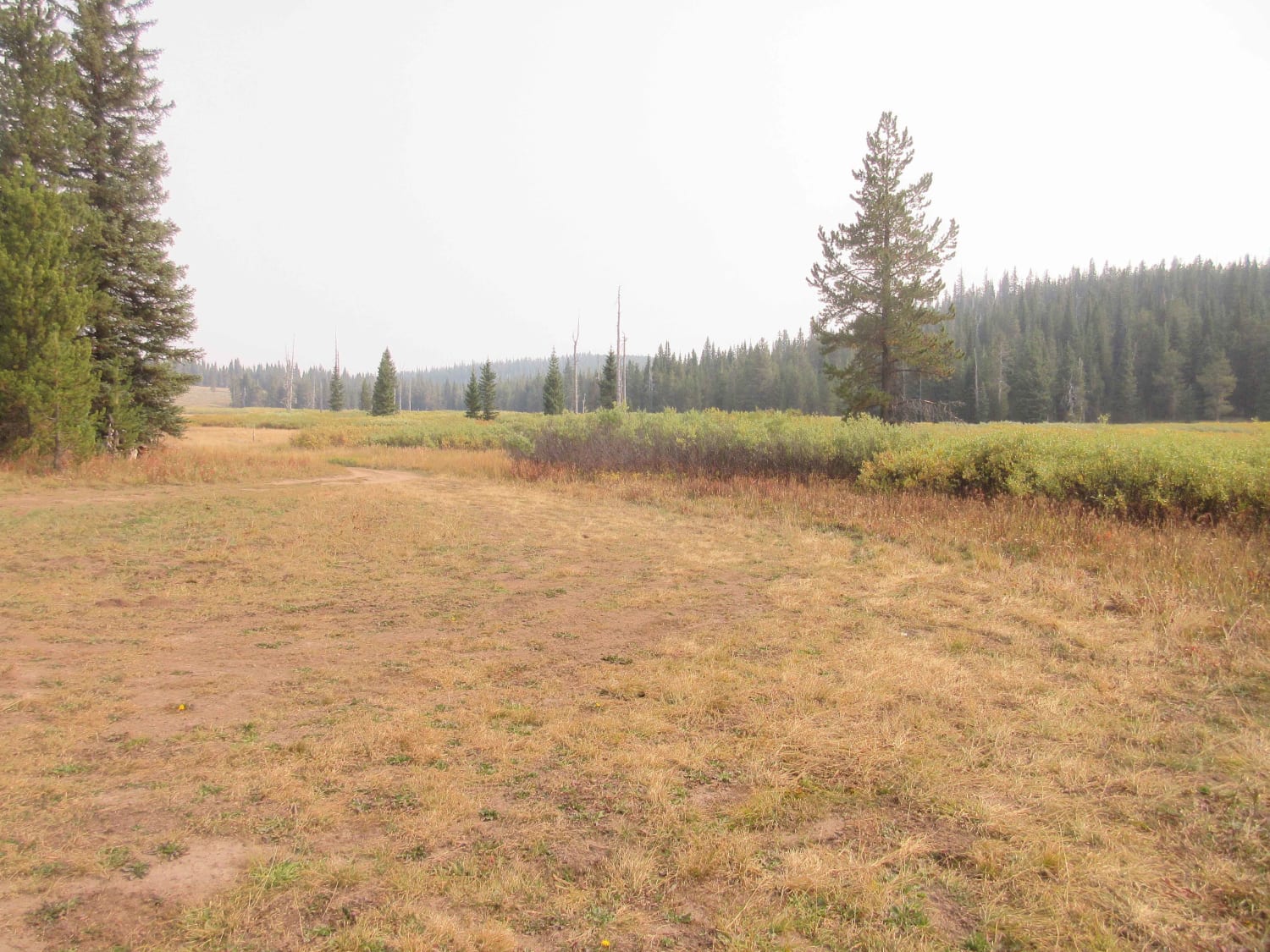
This a short spur trail from the Middle Fork Shoshone Creek Trail that can be used as an easy bail out back to Oakley Rogerson Road and the Fifth Fork Trailhead. It climbs all the way out of the valley from the main trail and goes past a campsite and a cow trough. It's mostly in sagebrush and at the top goes into aspen trees. It's a really easy bail-out with only a few embedded rocks in the trail, and no major obstacles. The entrance to the spur from the main trail is unmarked, but there is a pinch-point gate and trail marker at the top.
Photos of Middle Fork North
Difficulty
Easy forested single track bail out trail with some rock.
Status Reports
Middle Fork North can be accessed by the following ride types:
- Dirt Bike
Middle Fork North Map
Popular Trails
Yellow Dog (513)
Dam Creek Divide ATV
Two Tops Canyon

Uncle Ike Trail
The onX Offroad Difference
onX Offroad combines trail photos, descriptions, difficulty ratings, width restrictions, seasonality, and more in a user-friendly interface. Available on all devices, with offline access and full compatibility with CarPlay and Android Auto. Discover what you’re missing today!