Middle Fork-South Fork 1 - FS 7199
Total Miles
2.0
Technical Rating
Best Time
Summer, Fall
Trail Type
Single Track
Accessible By
Trail Overview
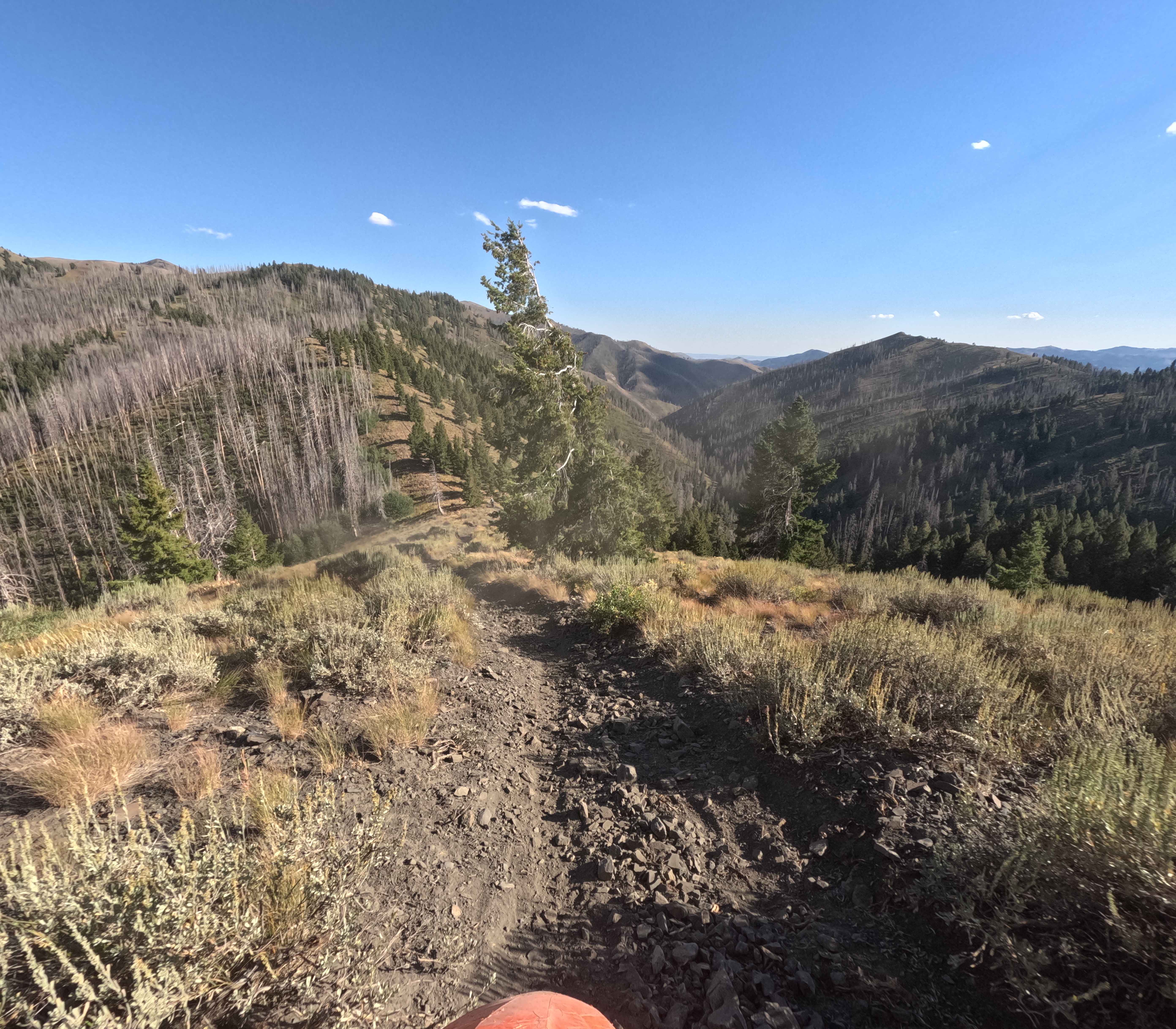
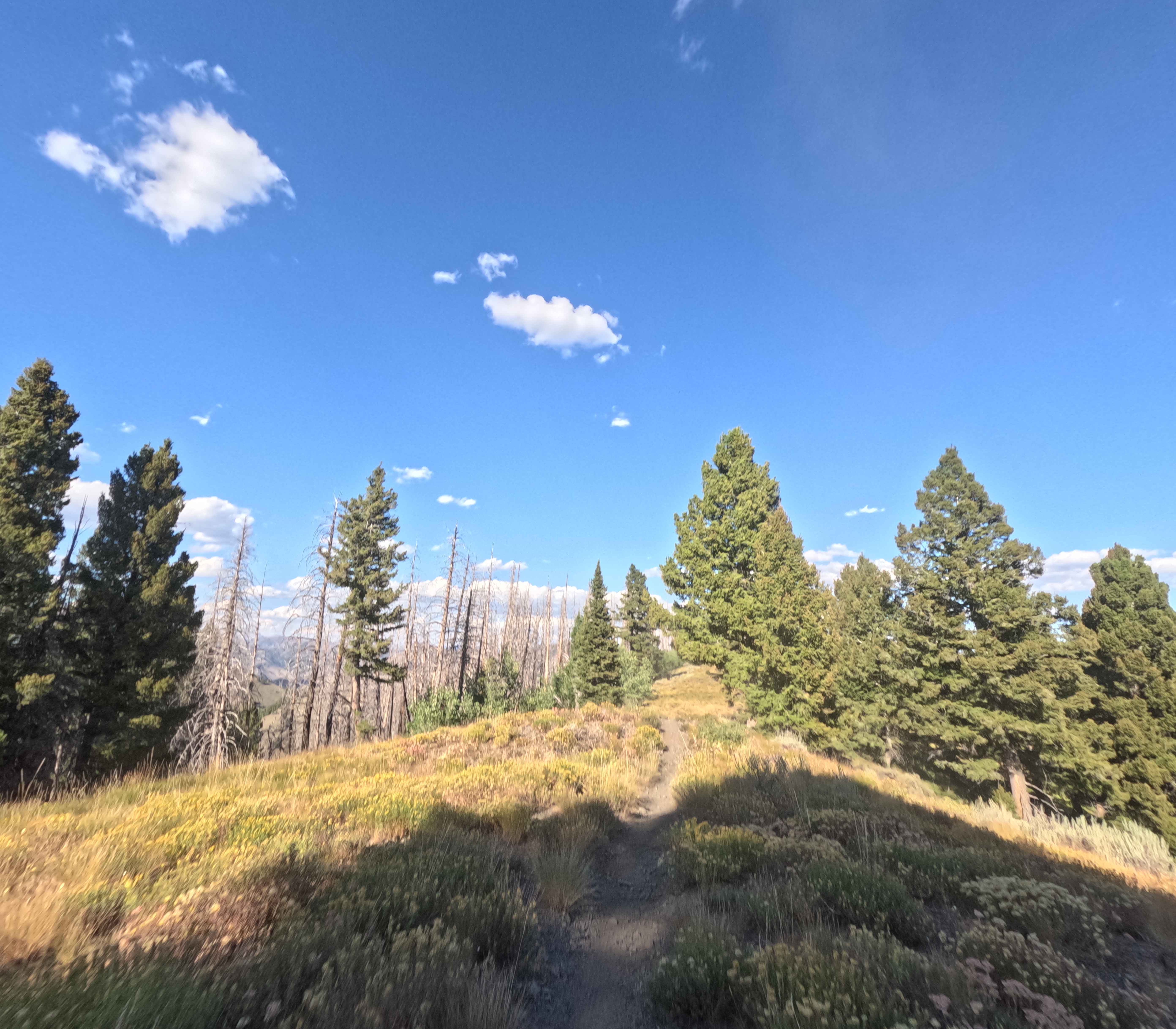
Middle Fork-South Fork 1 (7199) is a short connector in the Smoky Mountains, 20 minutes west of Ketchum, Idaho. The trail is 2 miles long, beginning at the junction of Middle Fork Warm Springs and Warm Springs Driveway, heading east to Forest Service Road 7302. When ridden west to east, it descends about 600 feet. The route starts atop an open ridgeline with great view,s running across grassy fields and then dropping down a few steeper gravel hills. Surface conditions are mostly hard-packed dirt with patches of golf ball-sized rock at higher elevations. Some minor plant overgrowth narrows the track in spots, but obstacles are limited. The lower section passes through burned woods before reaching the next trail intersection.
Photos of Middle Fork-South Fork 1 - FS 7199
Difficulty
No significant obstacles on this track. The trail is narrow but has wide runoff on either side.
Status Reports
Middle Fork-South Fork 1 - FS 7199 can be accessed by the following ride types:
- Dirt Bike
Middle Fork-South Fork 1 - FS 7199 Map
Popular Trails
Big Creek Road - FS 370

Grandad Road (Elk River to Dworshak Reservoir)
Rabbit Foot Mine Trail

Hogsback Ridge
The onX Offroad Difference
onX Offroad combines trail photos, descriptions, difficulty ratings, width restrictions, seasonality, and more in a user-friendly interface. Available on all devices, with offline access and full compatibility with CarPlay and Android Auto. Discover what you’re missing today!