Middle Fork-South Fork 2 - FS 7199
Total Miles
4.3
Technical Rating
Best Time
Summer, Fall
Trail Type
Single Track
Accessible By
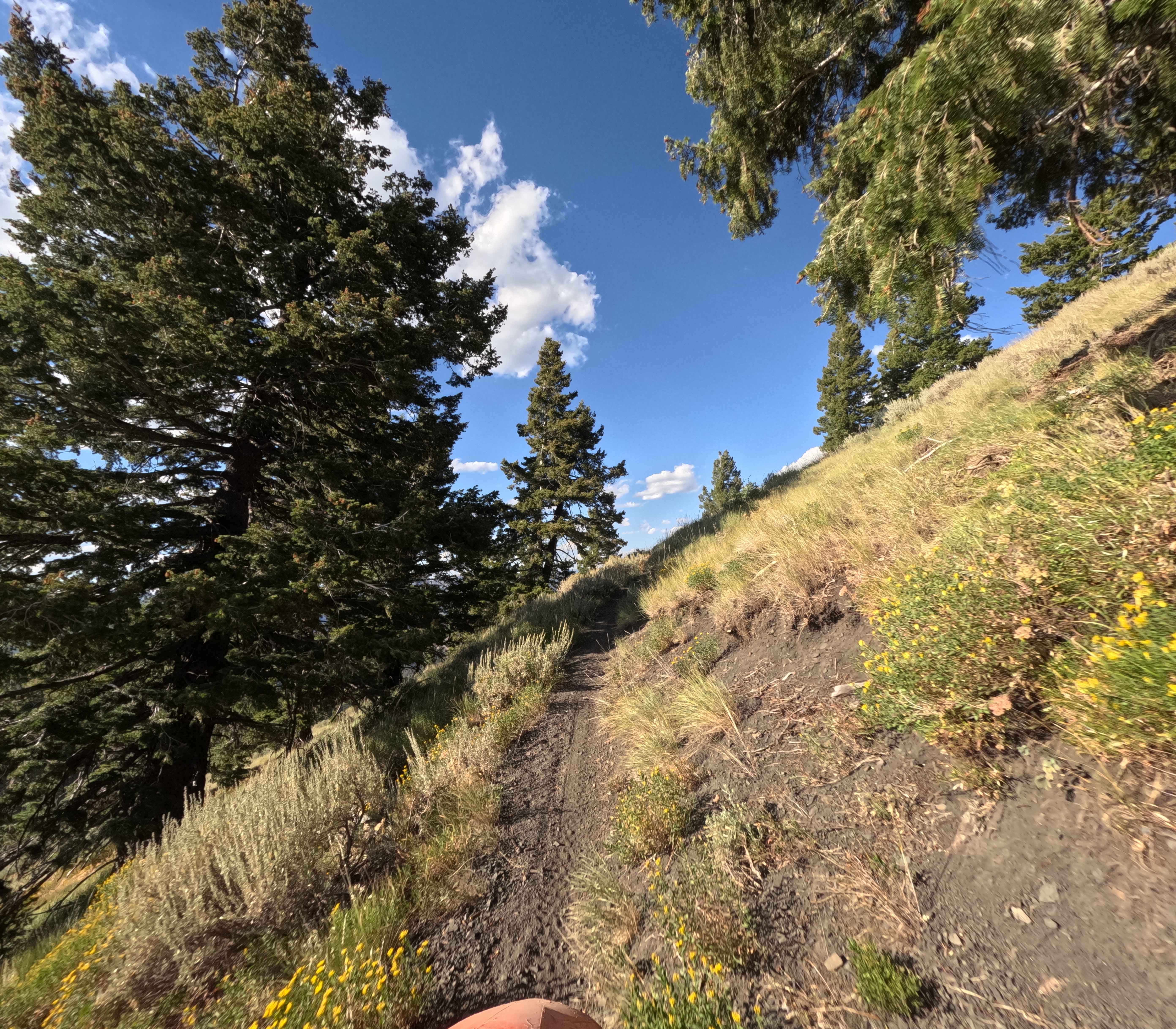
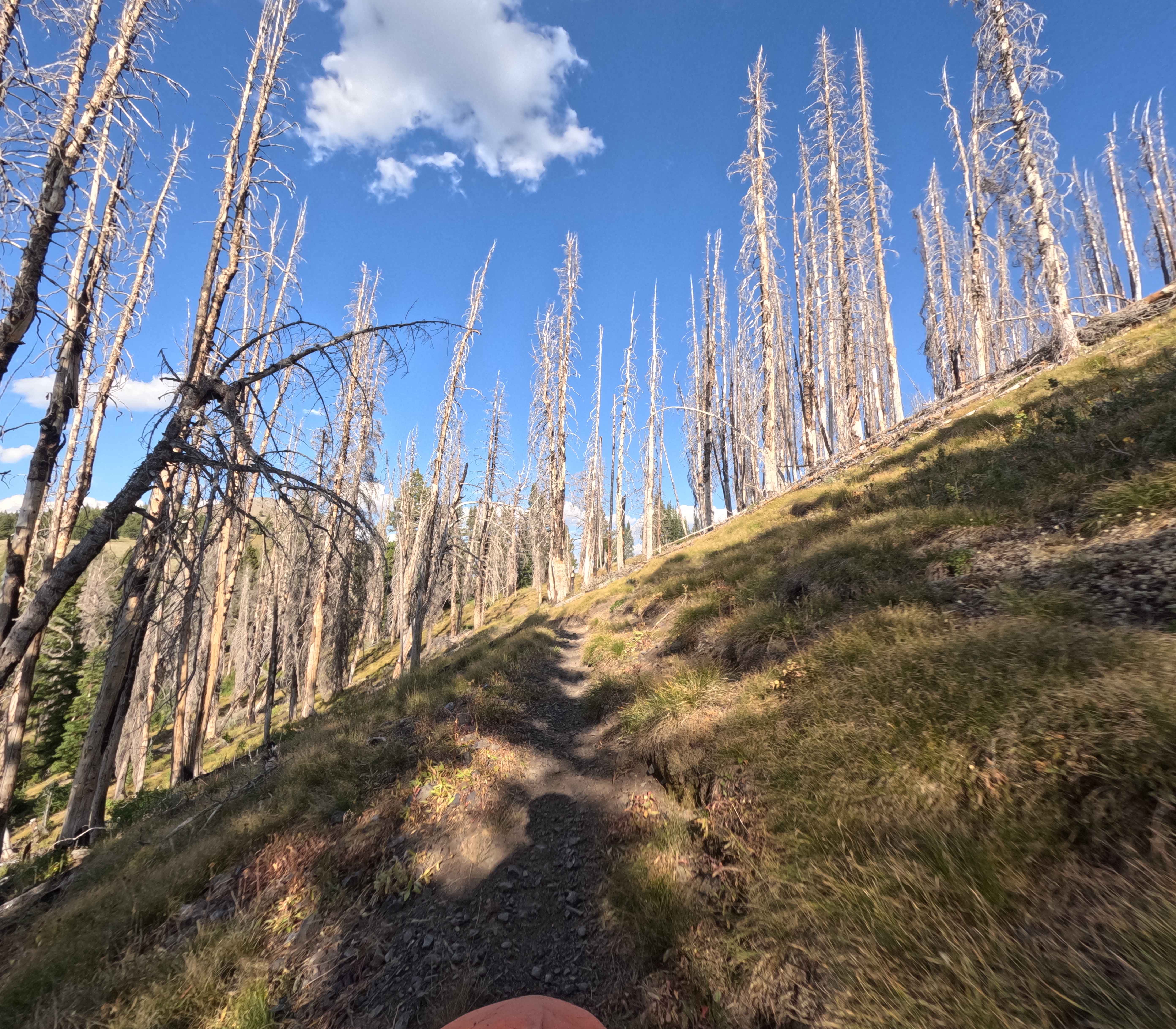
Trail Overview
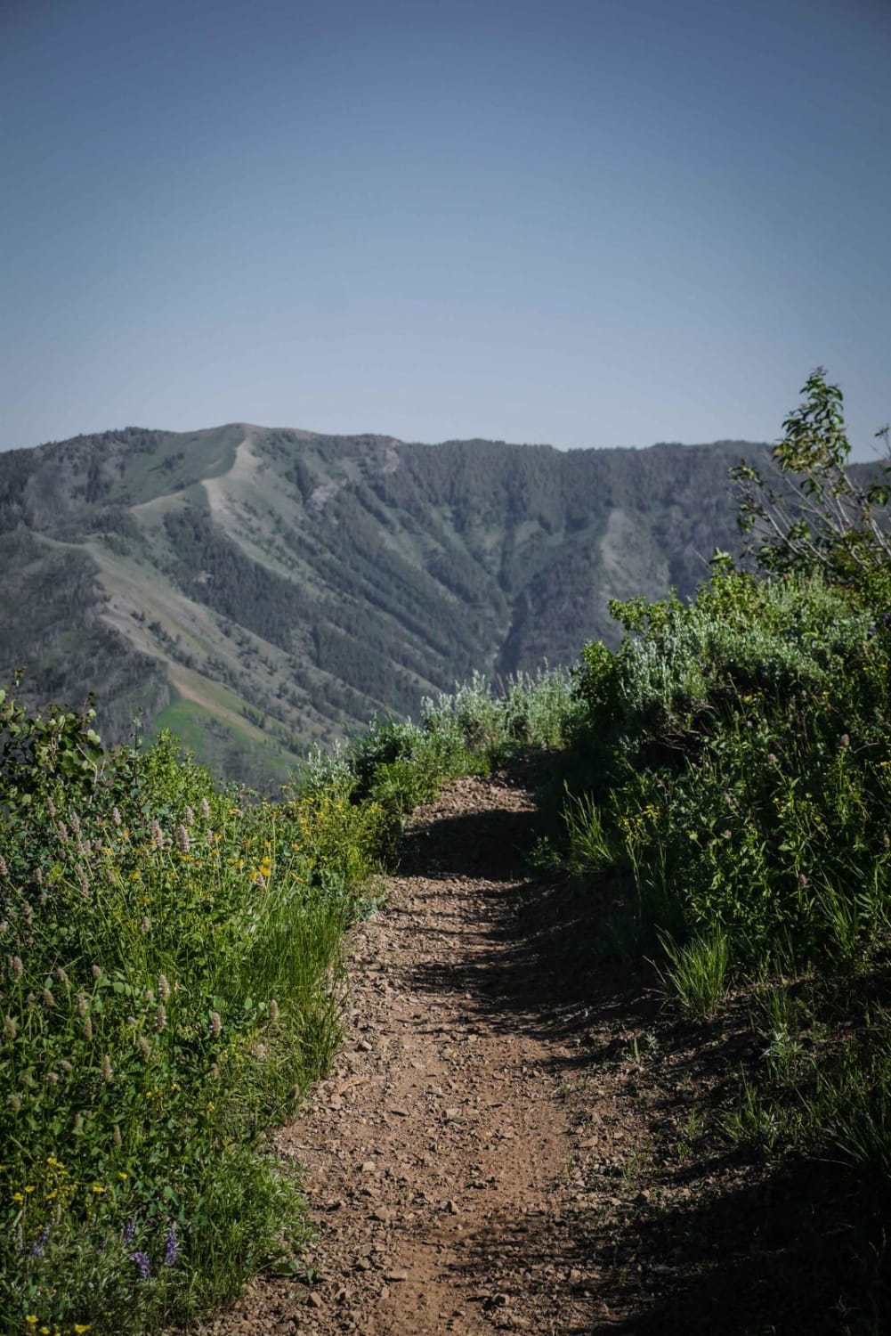
Middle Fork-South Fork 2 (7199) is a 4.3-mile trail in the Smoky Mountains, about 20 minutes west of Ketchum, Idaho. It branches east from FS 7986, turns north, and eventually connects with Warfield-South Fork. When ridden top to bottom, the trail drops about 1,500 feet. The upper section offers wide views from open hillsides with scattered trees before descending into a valley along South Fork Warm Springs Creek. Surface conditions are mostly compacted dirt mixed with small and medium gravel, with a few minor creek crossings closer to Warfield. As the route narrows in the valley, riders navigate through downed trees and tighter brush with some vegetation crowding both sides.
Photos of Middle Fork-South Fork 2 - FS 7199
Difficulty
This trail is relatively easy with good flow and no actual obstacles.
Status Reports
Middle Fork-South Fork 2 - FS 7199 can be accessed by the following ride types:
- Dirt Bike
Middle Fork-South Fork 2 - FS 7199 Map
Popular Trails
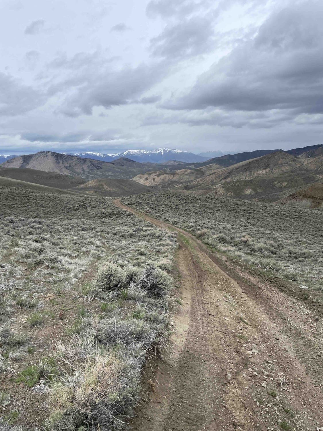
Moose Creek - FS 381

Frenchman's Warm Creek Trail
Broken Wagon
Howard's Trail
The onX Offroad Difference
onX Offroad combines trail photos, descriptions, difficulty ratings, width restrictions, seasonality, and more in a user-friendly interface. Available on all devices, with offline access and full compatibility with CarPlay and Android Auto. Discover what you’re missing today!