Mahoney Greenhorn
Total Miles
9.5
Technical Rating
Best Time
Fall, Summer, Spring
Trail Type
Single Track
Accessible By
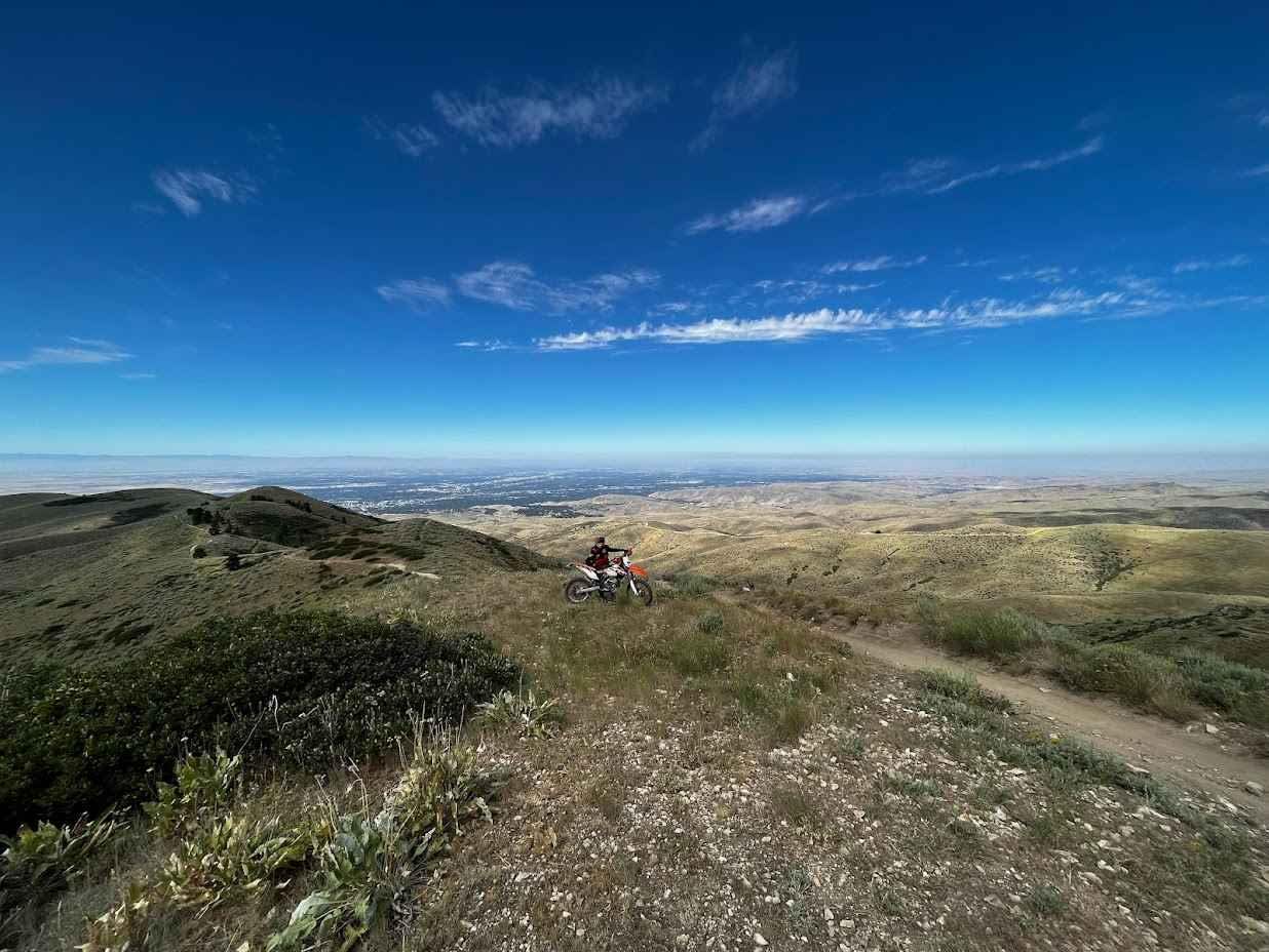
Trail Overview
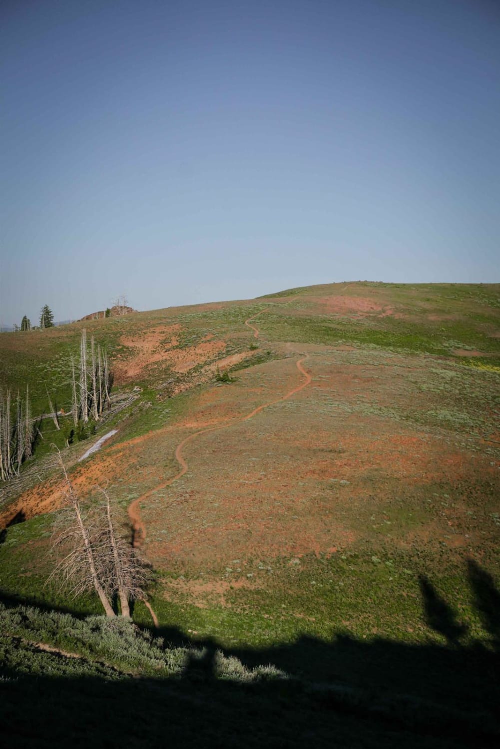
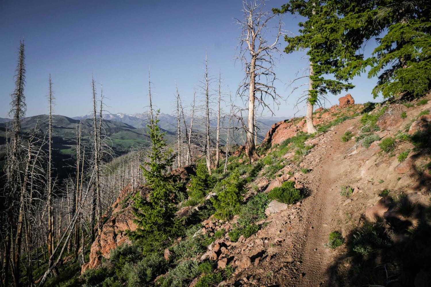
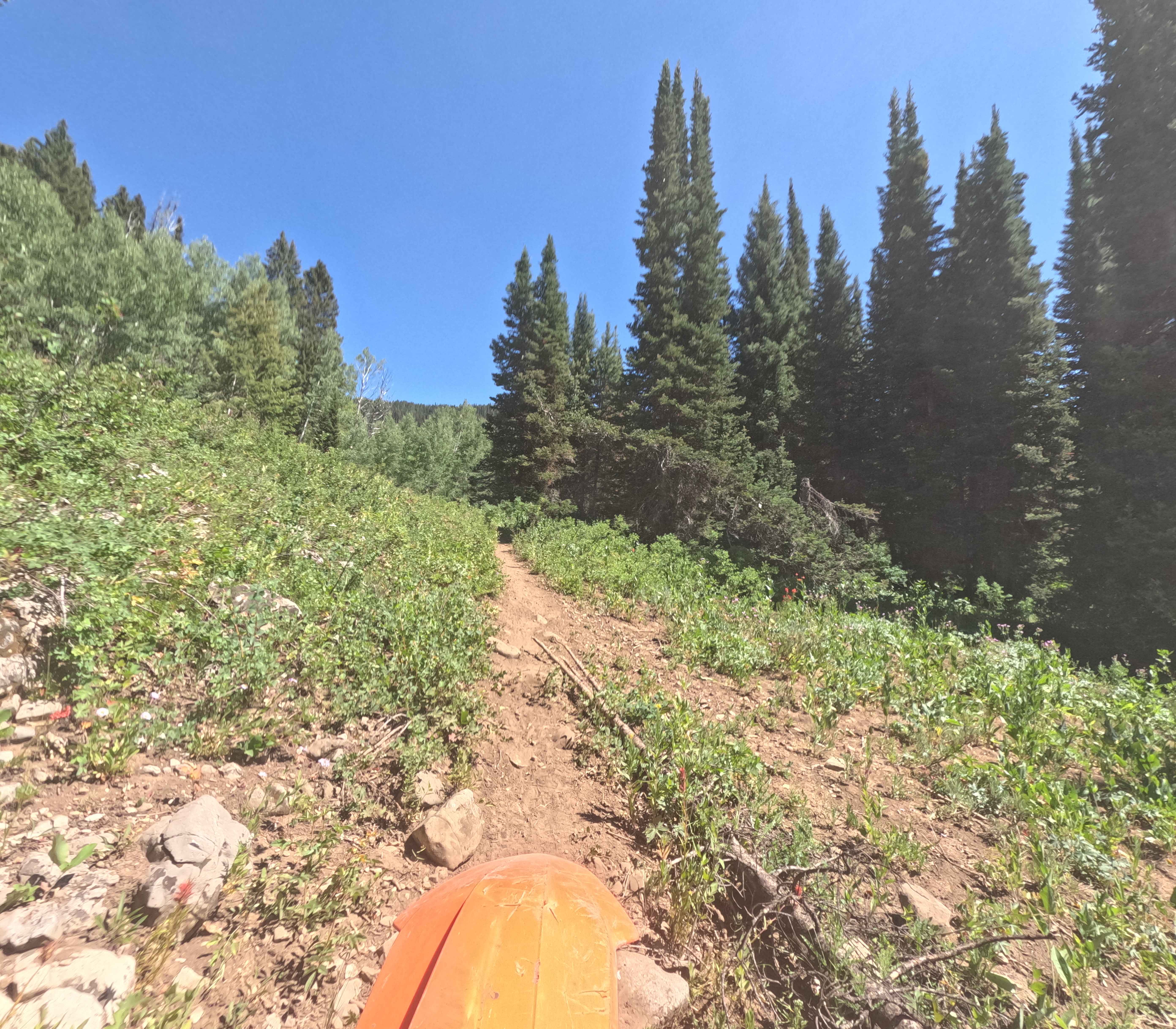
Mahoney Greenhorn is a popular trail in the Greenhorn Trail system. It starts right at the Greenhorn trailhead, so you will likely see other riders or mountain bikers. The west end of the trail starts as an epic ridge line trail, in an incredibly beautiful landscape of green rolling hills with jagged red rock towers sticking out of the ground. It goes over a couple of mountain tops with a lot of loose rock and scree in the trail. You get really pretty views of the whole mountain range from this ridge line as you are close to 8,400 feet elevation on one of the highest peaks in the area. There are a couple of steeper down hills with loose rock and loose dirt. The trailside hills through beautiful meadows are full of wildflowers, and through a couple more exposed cliff sides. The trail switchbacks into a tree section and meanders through a burn area. It drops elevation into a gulch on a smoother trail with less loose rock, with several shallow stream crossings. The stream crossings are easy and some of them even have little wooden bridges. Near the middle, there is a section of avalanche debris that is a huge pile of downed logs on top of a snow drift that has only been partially cut. A path has been cut into the pile of logs, but there are still a couple of big ones uncut that you have to get over in order to pass through all the debris. This is really difficult because of the snow underneath and might result in having to lift bikes. The east end of the trail is similar to the start of Cow Creek with embedded boulders in the trail and easy switchbacks up from the trailhead.
Photos of Mahoney Greenhorn
Difficulty
Most of this trail is a 4 difficulty, but a section of avalanche debris in the middle of the trail makes it more challenging because you may have to get over several logs unless this section gets cut more.
Status Reports
Mahoney Greenhorn can be accessed by the following ride types:
- Dirt Bike
Mahoney Greenhorn Map
Popular Trails
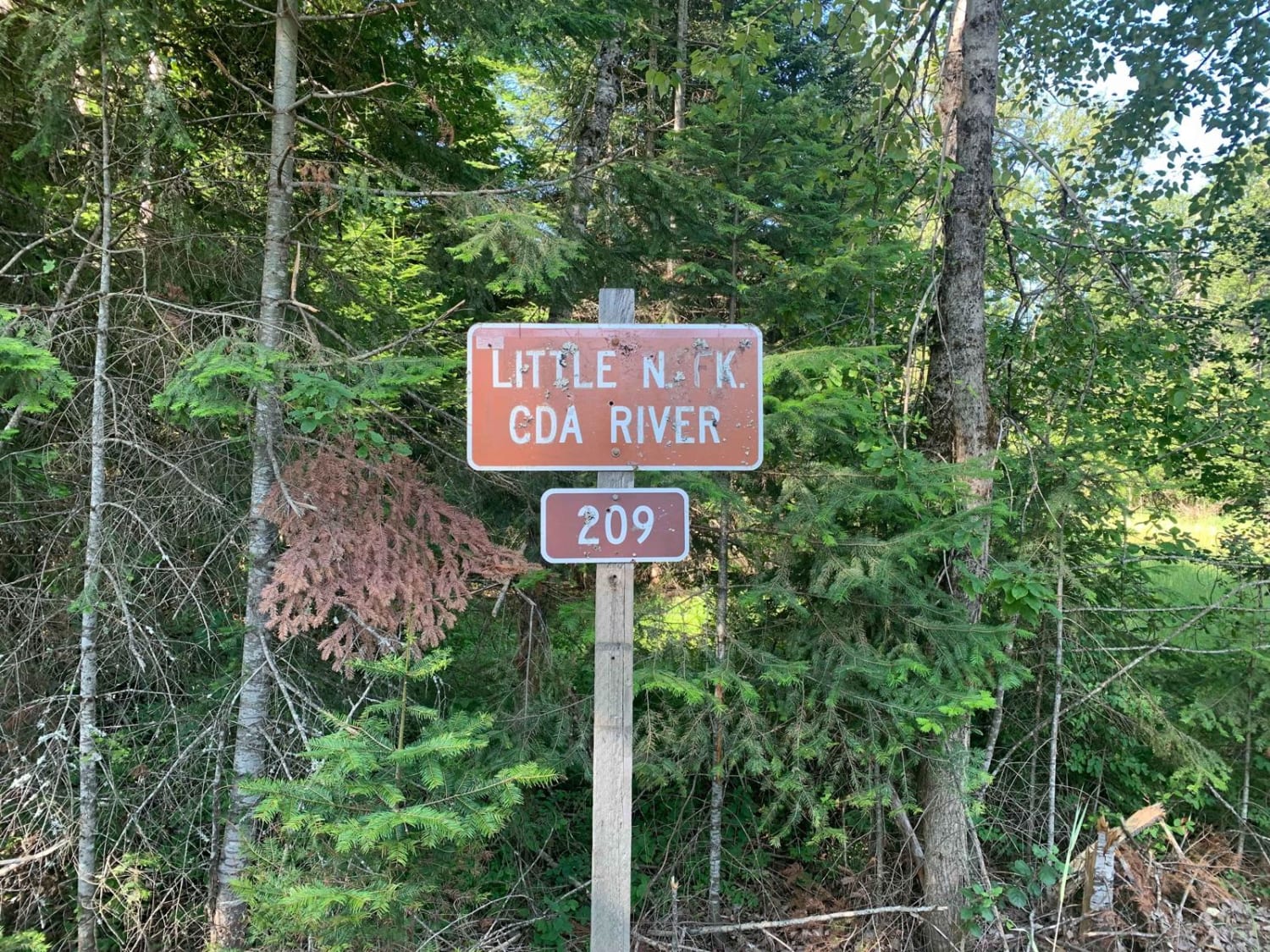
North Fork Coeur d'Alene River (209)
Copper Falls
8th Street Motorcycle Trail
The onX Offroad Difference
onX Offroad combines trail photos, descriptions, difficulty ratings, width restrictions, seasonality, and more in a user-friendly interface. Available on all devices, with offline access and full compatibility with CarPlay and Android Auto. Discover what you’re missing today!