Mahoney Butte
Total Miles
5.7
Technical Rating
Best Time
Fall, Summer, Spring
Trail Type
Single Track
Accessible By
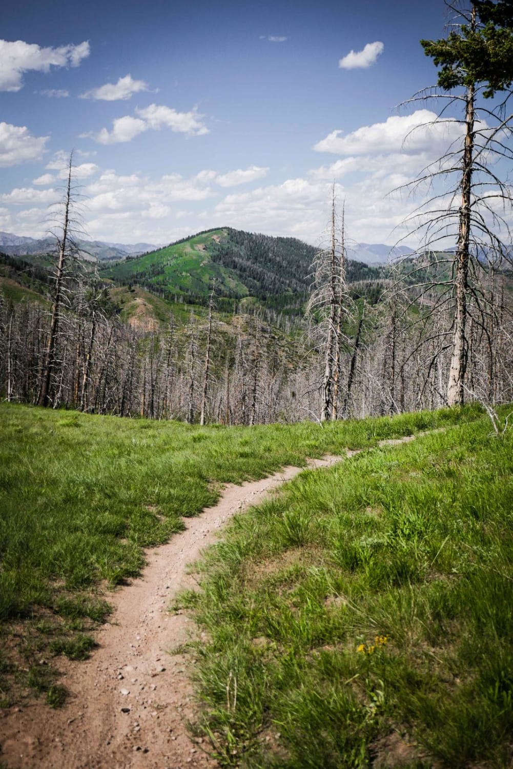
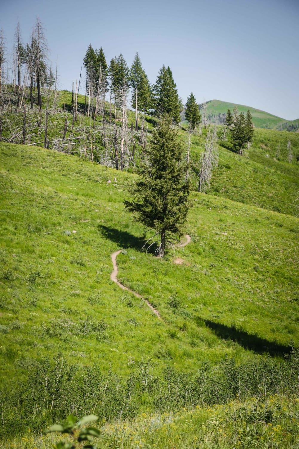
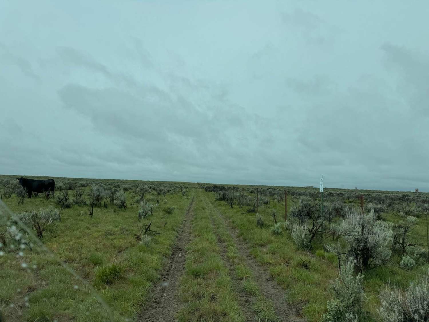
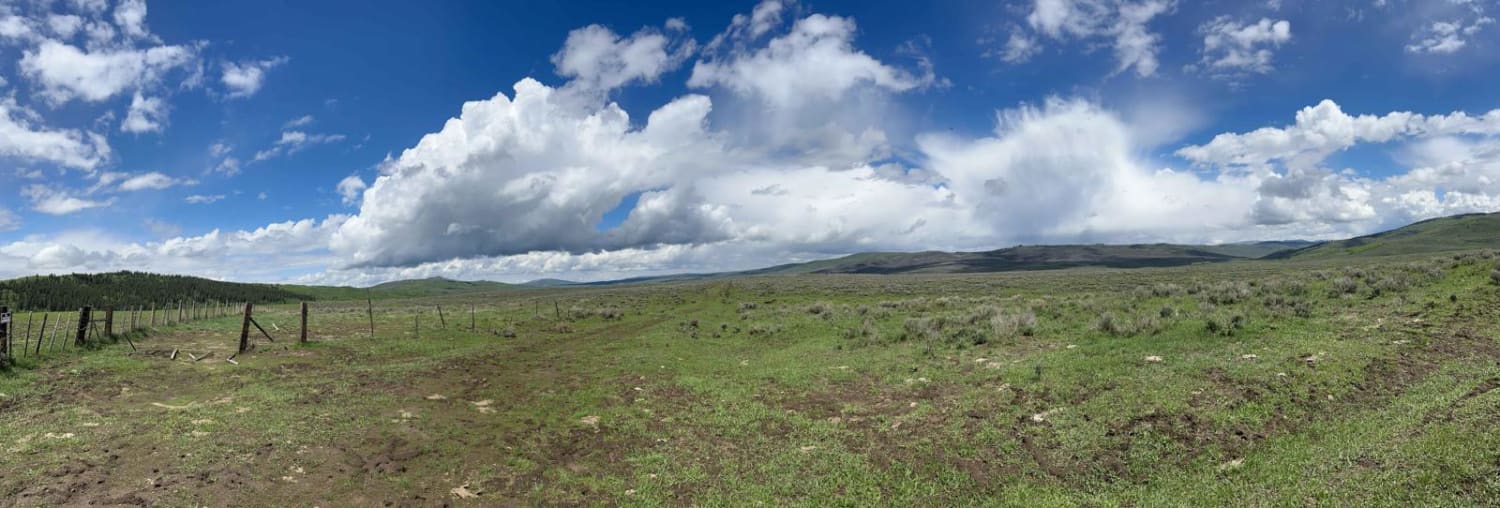
Trail Overview
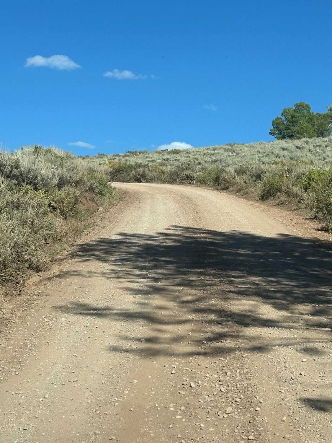
Mahoney Butte is a 5-mile long trail that is mostly elevated above a creek, side-hilling on a narrow trail, sometimes with loose rock or embedded surface rock. The beginning and ending are the smoothest, fastest parts. There's some embedded small cobble in parts, a rocky hill, a couple of scree sections, and a couple of roots. There are a couple of treed sections with shade, but it's mostly exposed to the sun, and this area can get pretty hot in the summer. The trail has a couple of small creek crossings that are easy. It's curvy with switchbacks, going in and out of a burn area. It goes past a couple of intersections, but they are all signed well. This trail goes through an incredibly scenic landscape of rolling green hills, with meadows of wildflowers, as it goes around Mahoney Butte which is 7,700 feet tall. It's a gradual incline from the Greenhorn Trailhead to the intersection with Mahoney Greenhorn, gaining 1,900 feet over 5.3 miles.
Photos of Mahoney Butte
Difficulty
This is an intermediate single track with narrow sections, exposure, switchbacks, and some rocks.
Status Reports
Mahoney Butte can be accessed by the following ride types:
- Dirt Bike
Mahoney Butte Map
Popular Trails

Grimes Pass Road
Gray's Lake Outlet
The onX Offroad Difference
onX Offroad combines trail photos, descriptions, difficulty ratings, width restrictions, seasonality, and more in a user-friendly interface. Available on all devices, with offline access and full compatibility with CarPlay and Android Auto. Discover what you’re missing today!