Leiberg Magee (422)
Total Miles
12.9
Technical Rating
Best Time
Summer, Fall
Trail Type
Full-Width Road
Accessible By
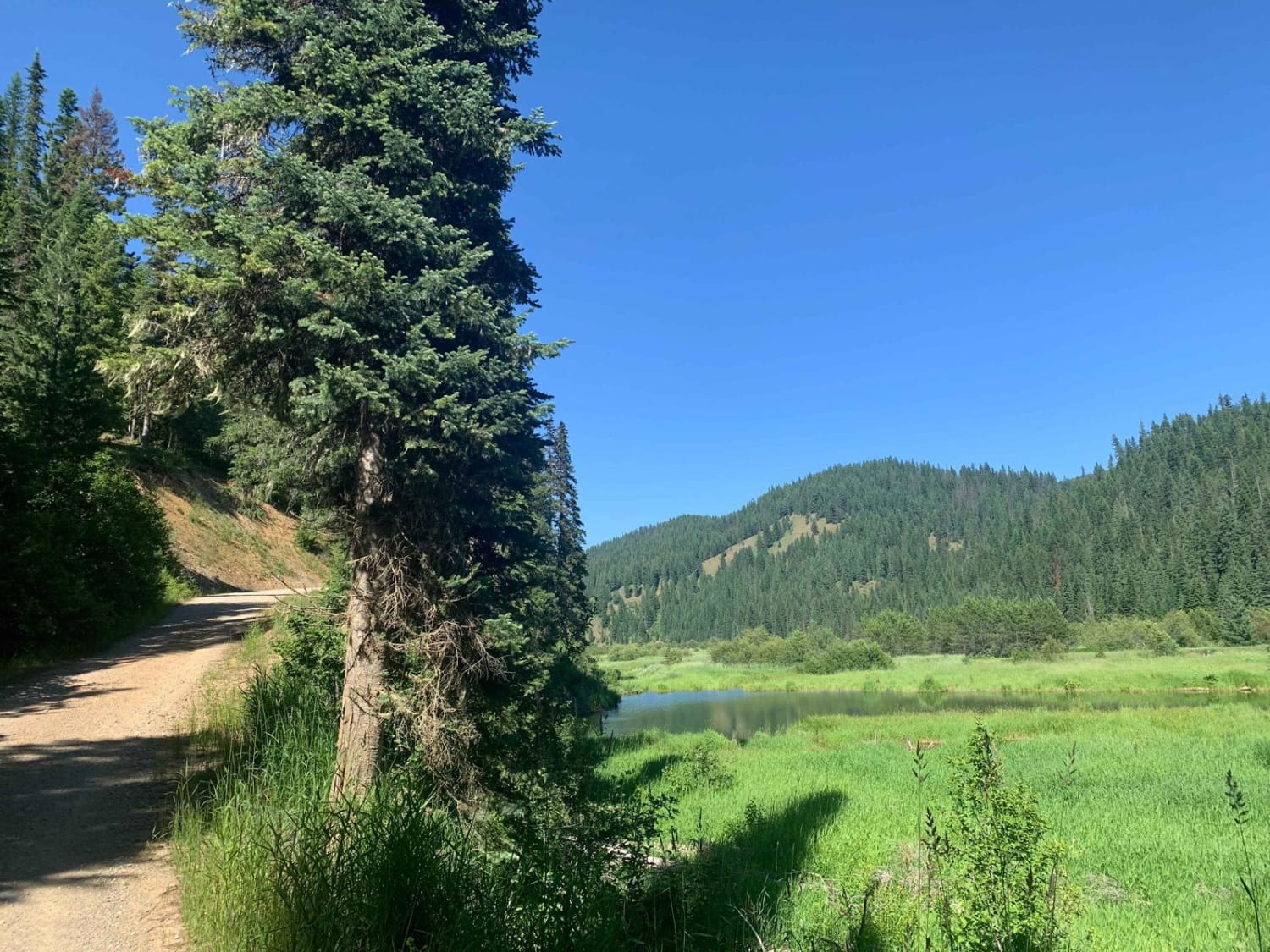
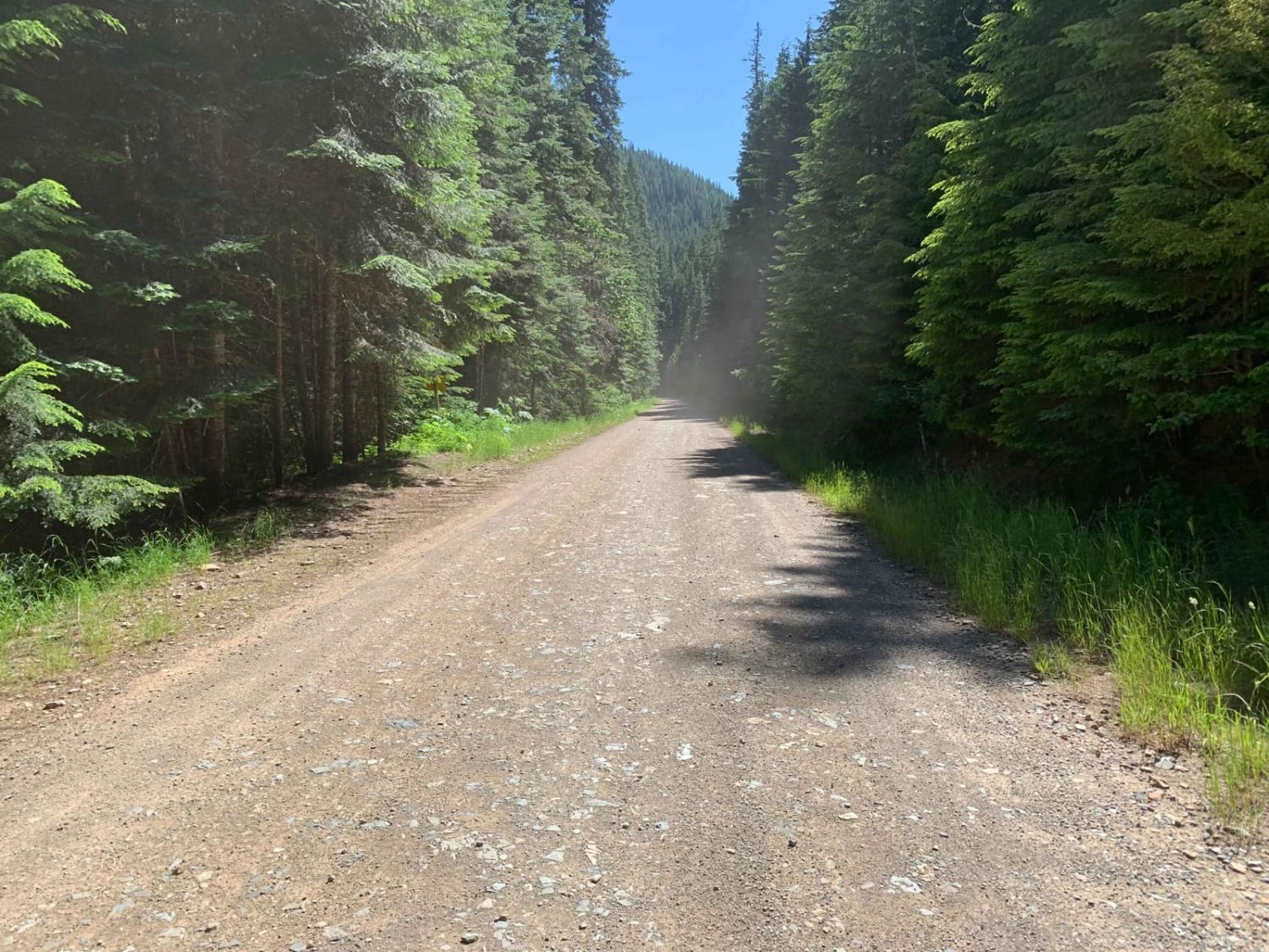
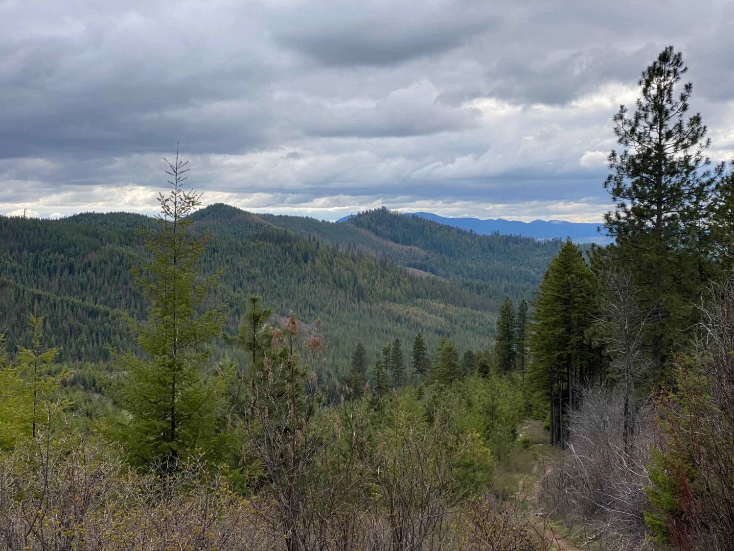
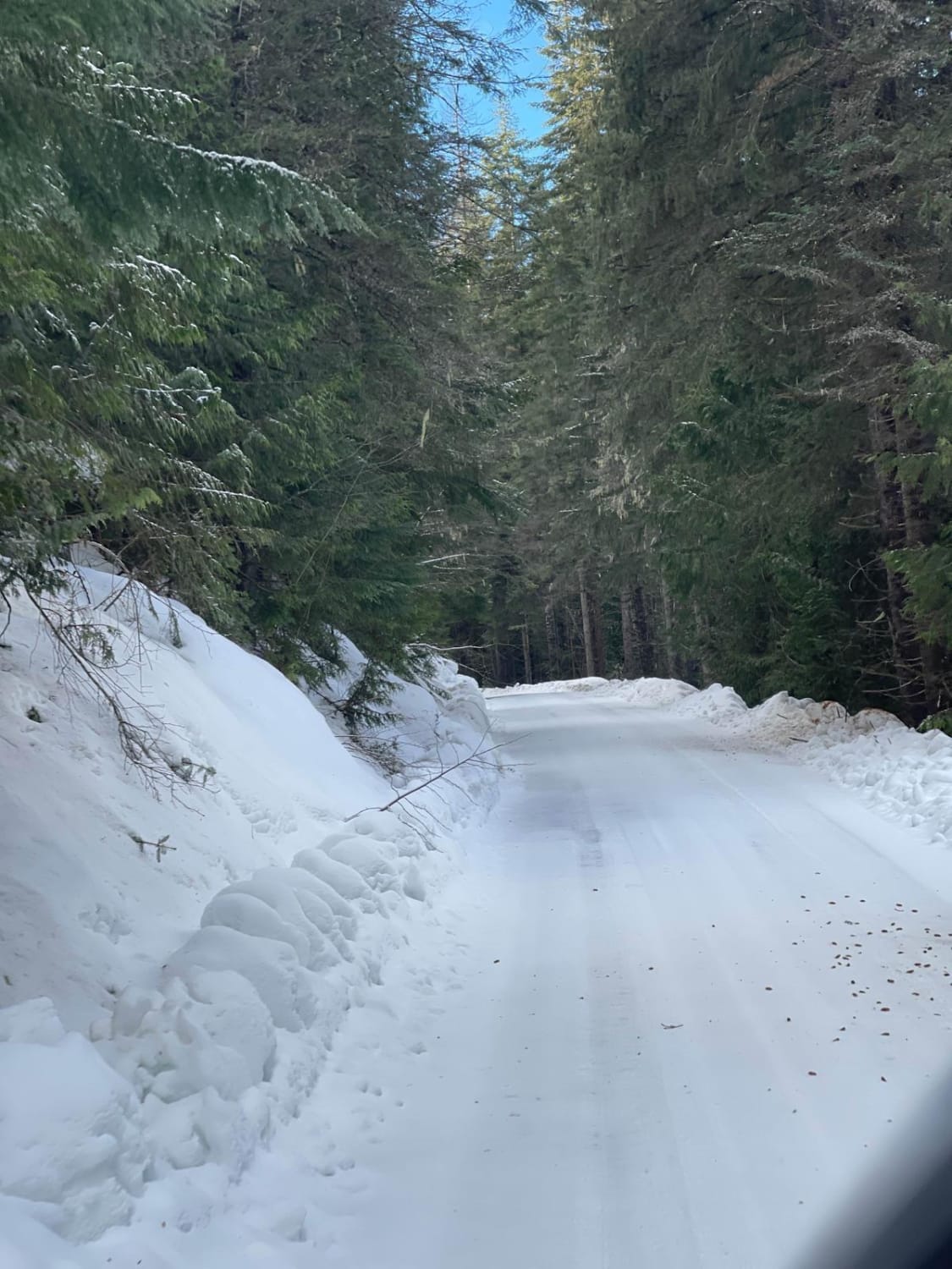
Trail Overview
Leiberg Magee (422) branches off of North Fork Coeur d'Alene River (209) about 5 miles east of Honeysuckle Campground. The road heads north to Magee Ranger Station & Magee Cabin with multiple intersecting trails along the way. This road is unmaintained in winter and can have snow clear into May. Cell signal is limited in this area.
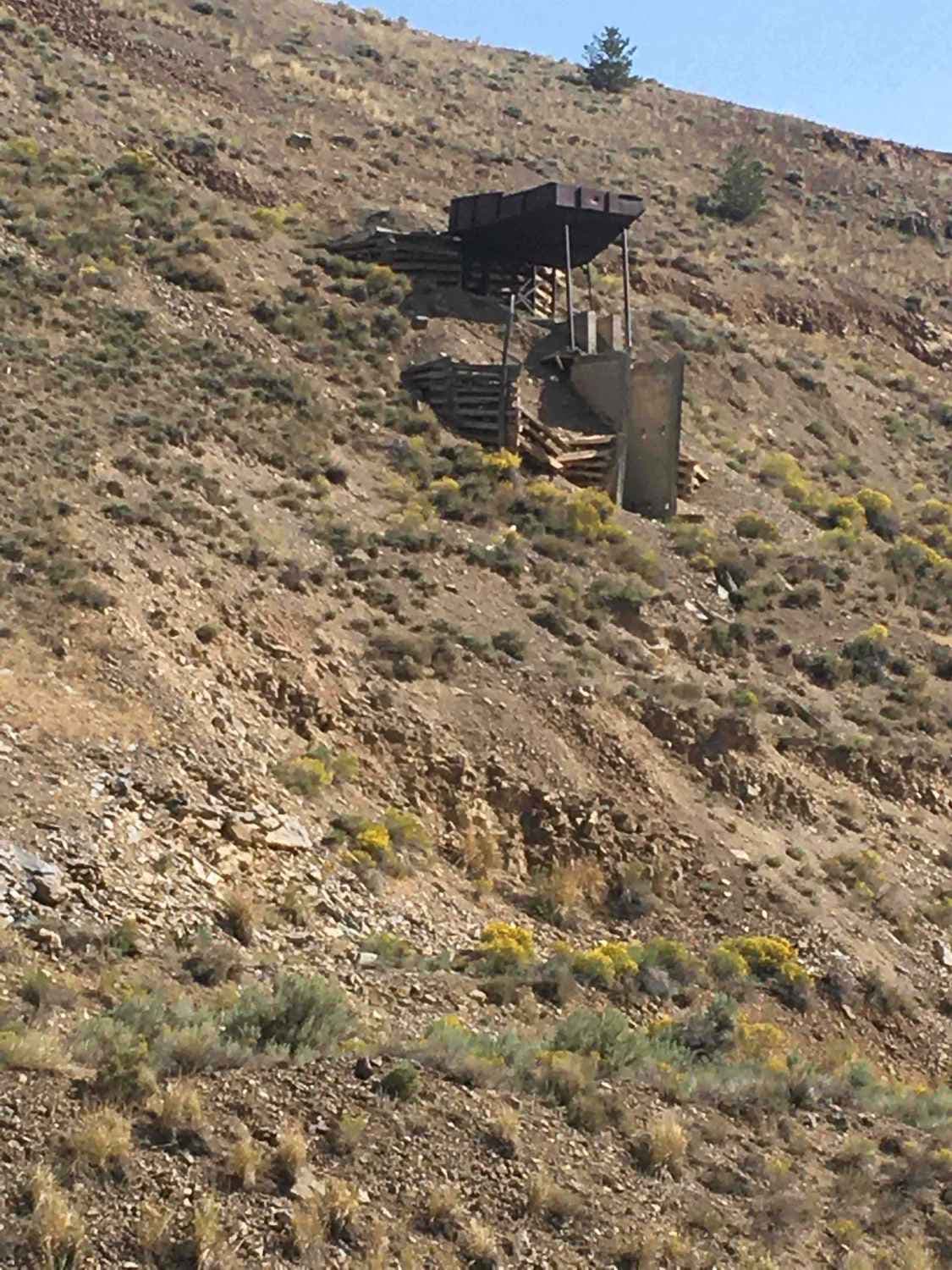
Photos of Leiberg Magee (422)
Difficulty
Leiberg Magee (422) starts out as a 1 on the south end and ends up as a 2 after becoming single car width. The road is in decent shape overall.
Status Reports
Leiberg Magee (422) can be accessed by the following ride types:
- High-Clearance 4x4
- SUV
- SxS (60")
- ATV (50")
Leiberg Magee (422) Map
Popular Trails
Little Sand Mountain

Teepee Creek -6310
Quartz Creek 416
Long Canyon Road
The onX Offroad Difference
onX Offroad combines trail photos, descriptions, difficulty ratings, width restrictions, seasonality, and more in a user-friendly interface. Available on all devices, with offline access and full compatibility with CarPlay and Android Auto. Discover what you’re missing today!