Highline Singletrack
Total Miles
7.1
Technical Rating
Best Time
Summer, Fall
Trail Type
Single Track
Accessible By
Trail Overview
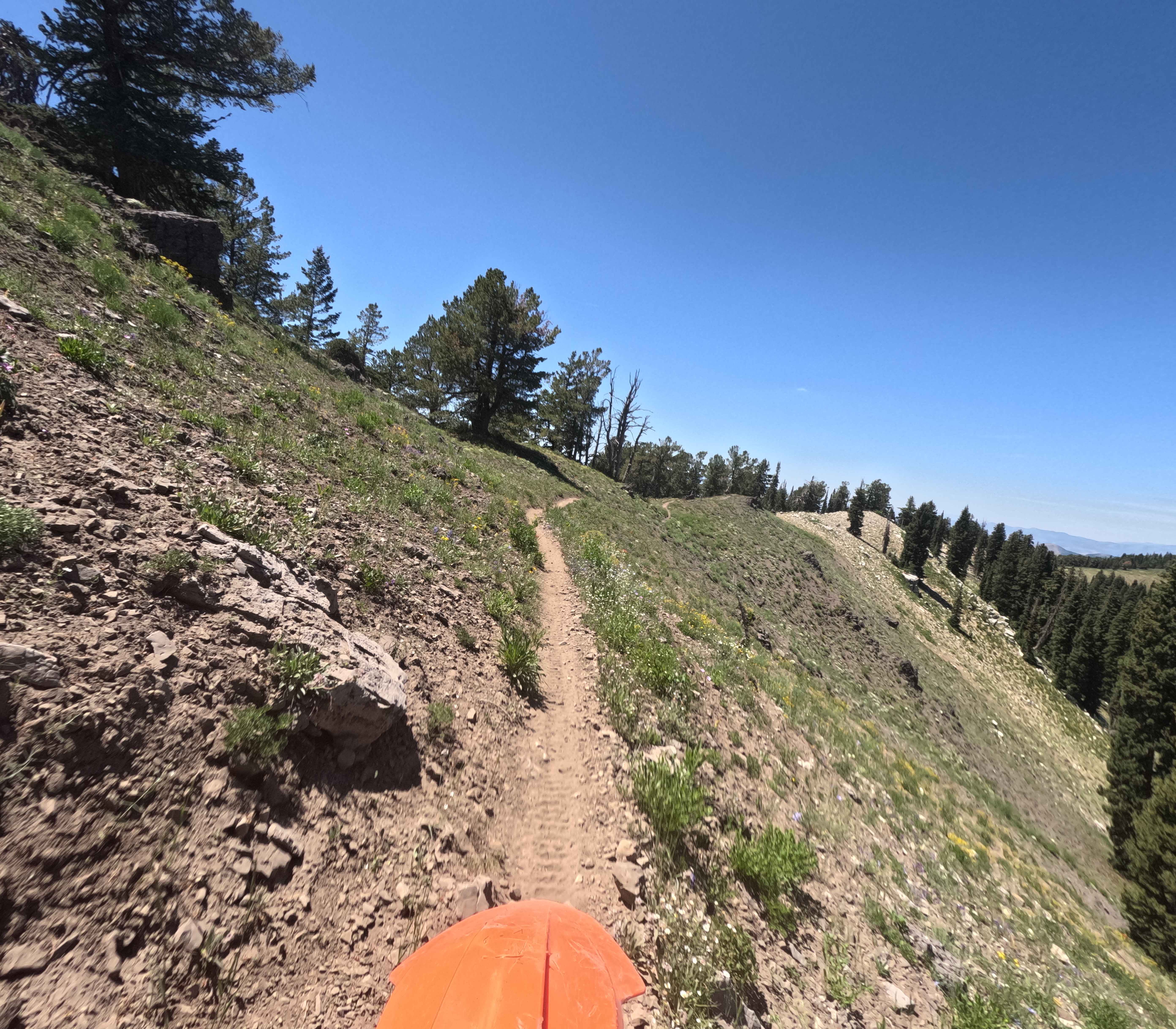
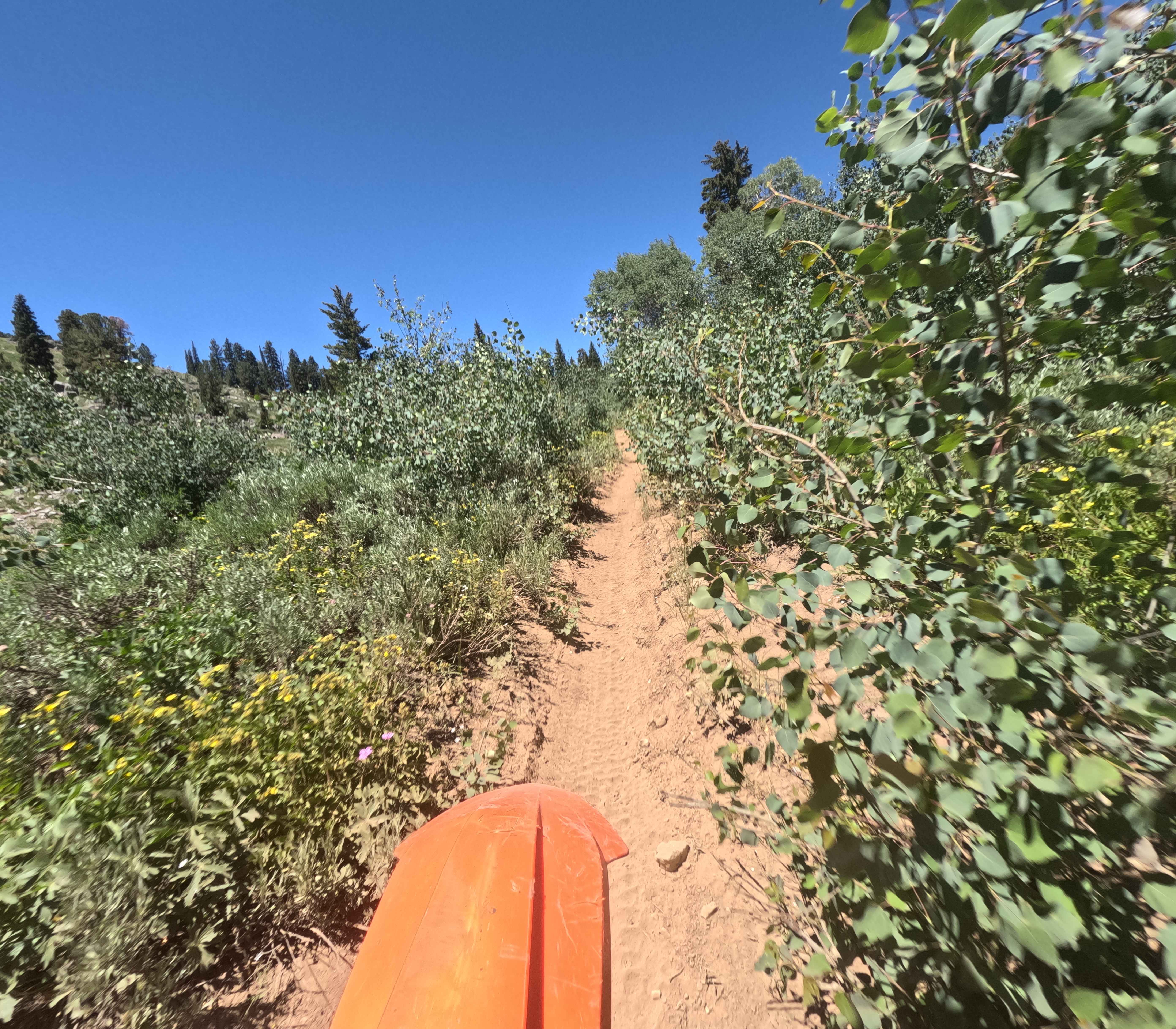
Highline Singletrack (Trail 3316) is the longest singletrack in the Bear River Range. It starts South of Bloomington Lake, at Forest Service Road 30415, and rides North along ridgelines ending at Forest Service Road 3316. The total elevation gain is about 500 feet, with great views of the surrounding mountains. The South end starts open and flowy, but becomes extremely rocky and more difficult as you climb to the ridge. The ground surface becomes almost entirely rock, made up of embedded basketball, softball, and smaller gravel pieces. Closer to Bloomington Lake, the trail is narrow and side-hills with lots of exposure. It mellows out as you ride farther North from here.
Photos of Highline Singletrack
Difficulty
This is a very rocky track with a narrow trail and high exposure at points.
Highline Singletrack can be accessed by the following ride types:
- Dirt Bike
Highline Singletrack Map
Popular Trails

Meadow - Sadie Springs #5225

Rocky's Rough And Tumble
Leslie to Mackay
The onX Offroad Difference
onX Offroad combines trail photos, descriptions, difficulty ratings, width restrictions, seasonality, and more in a user-friendly interface. Available on all devices, with offline access and full compatibility with CarPlay and Android Auto. Discover what you’re missing today!