Horse Basin to Dry Gulch
Total Miles
16.2
Technical Rating
Best Time
Summer, Spring, Fall
Trail Type
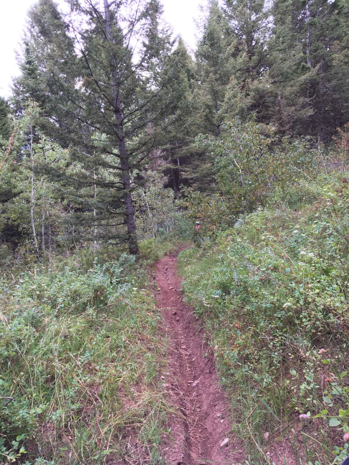
Full-Width Road
Accessible By
Trail Overview
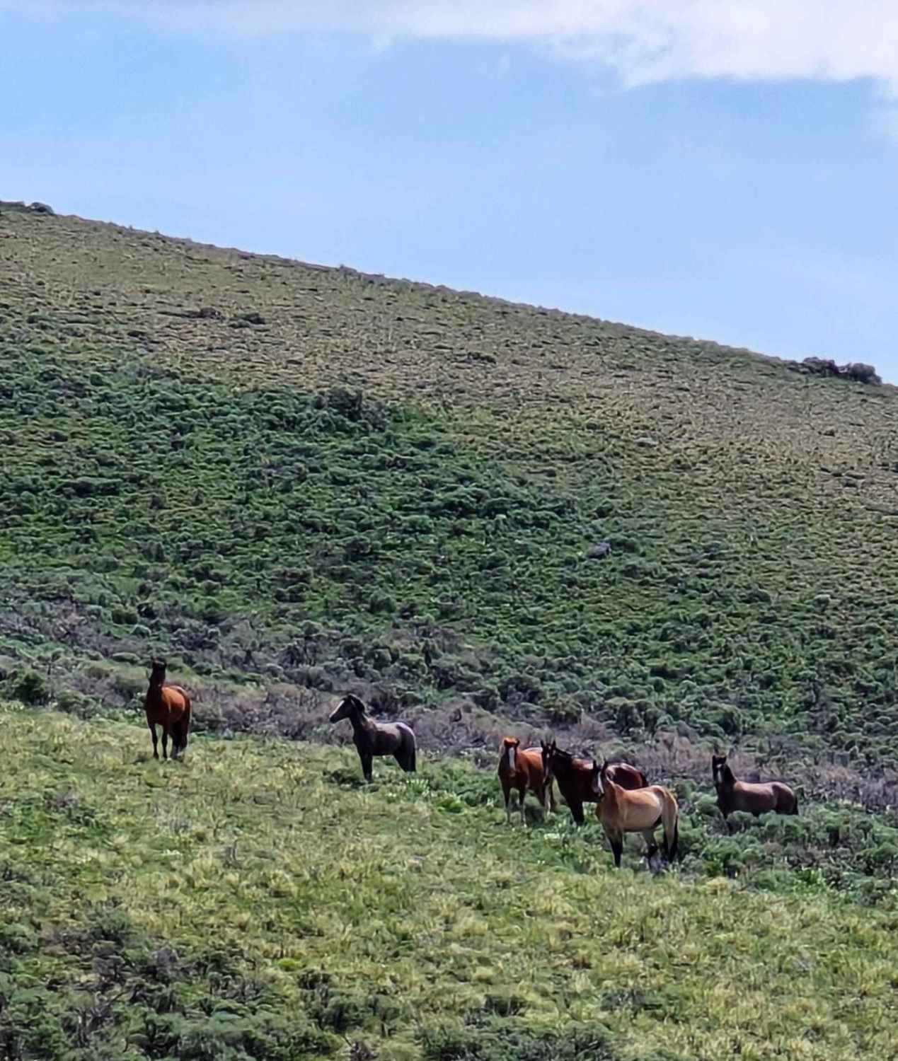
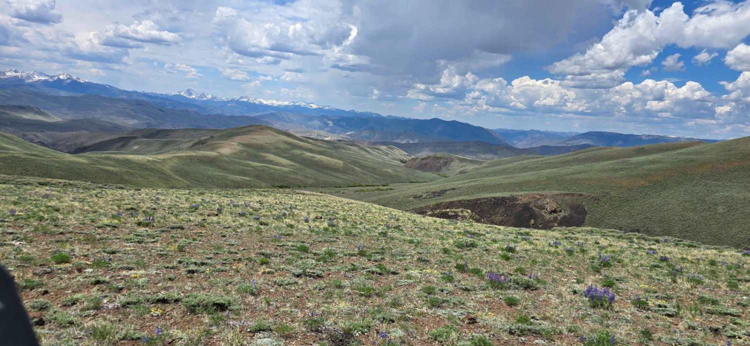
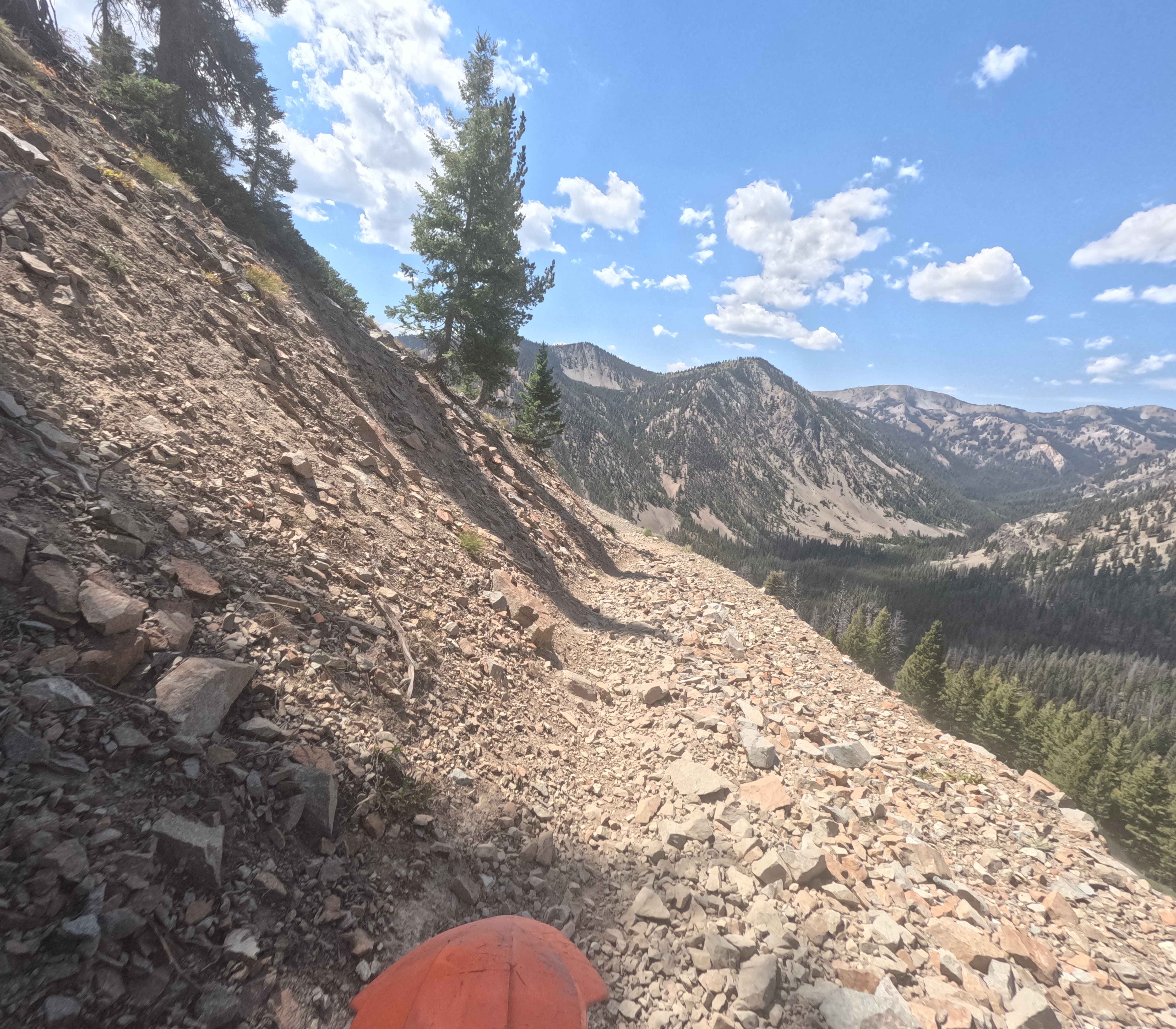
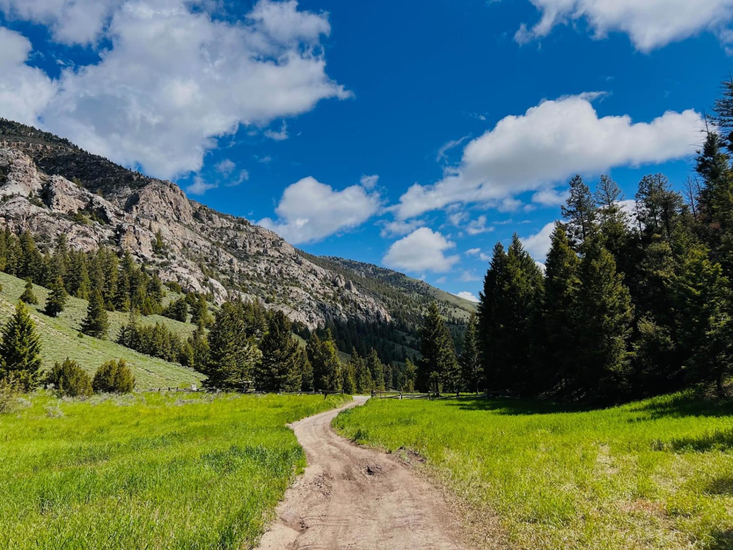
This trail loops off the Broken Wagon trail and takes you down into Horse Basin before getting into Dry Gulch. The likelihood of seeing wild horses is excellent here. We got to see a small herd of elk, too. The flowers are in full bloom, the forest (where there are trees) is healthy, and the scenery is stunning. The trail is not difficult, except in places it is steep. It's wide enough for a full-size 4X4, but we rode it in SXSs that are 72" and 80" wide. There are several trails near Challis, ID, where you can explore whether you're hiking or off-roading. Cell service is spotty in places, but now and then, you break into a clearing where there is service. Early to mid-June, you're likely to encounter snow up high in these mountains, and some trails may not be accessible till early July if it was a good snow year.
Photos of Horse Basin to Dry Gulch
Difficulty
There is nothing technical about this trail. In places it is steep as you climb to the top of the next hill, or descend into the next valley, but the trail is good and wide.
Status Reports
Horse Basin to Dry Gulch can be accessed by the following ride types:
- High-Clearance 4x4
- SUV
- SxS (60")
- ATV (50")
- Dirt Bike
Horse Basin to Dry Gulch Map
Popular Trails

North Middle #3443
Mule Creek - FS 7198
Eightmile Canyon
Antelope Creek to Fall Creek
The onX Offroad Difference
onX Offroad combines trail photos, descriptions, difficulty ratings, width restrictions, seasonality, and more in a user-friendly interface. Available on all devices, with offline access and full compatibility with CarPlay and Android Auto. Discover what you’re missing today!