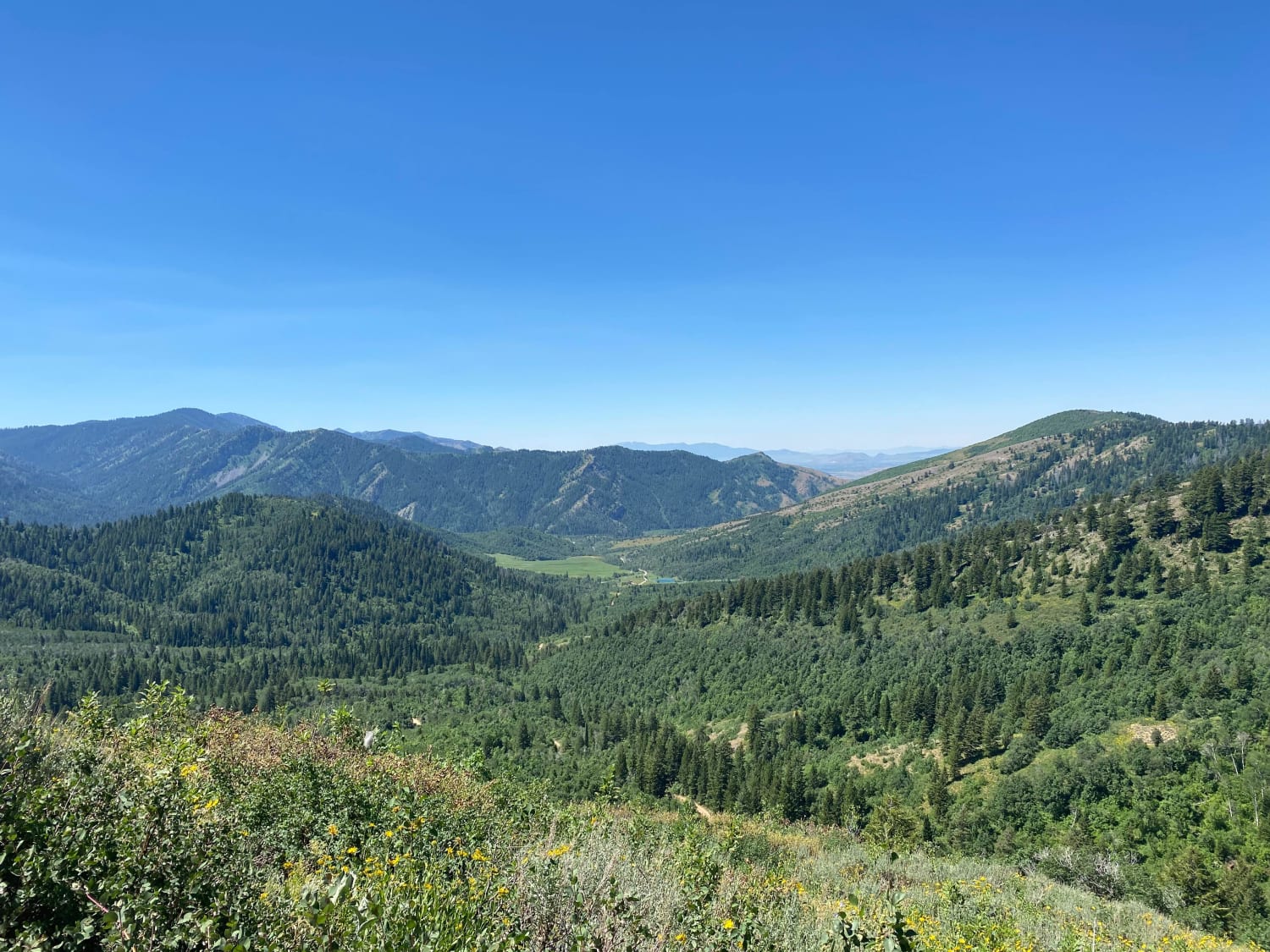
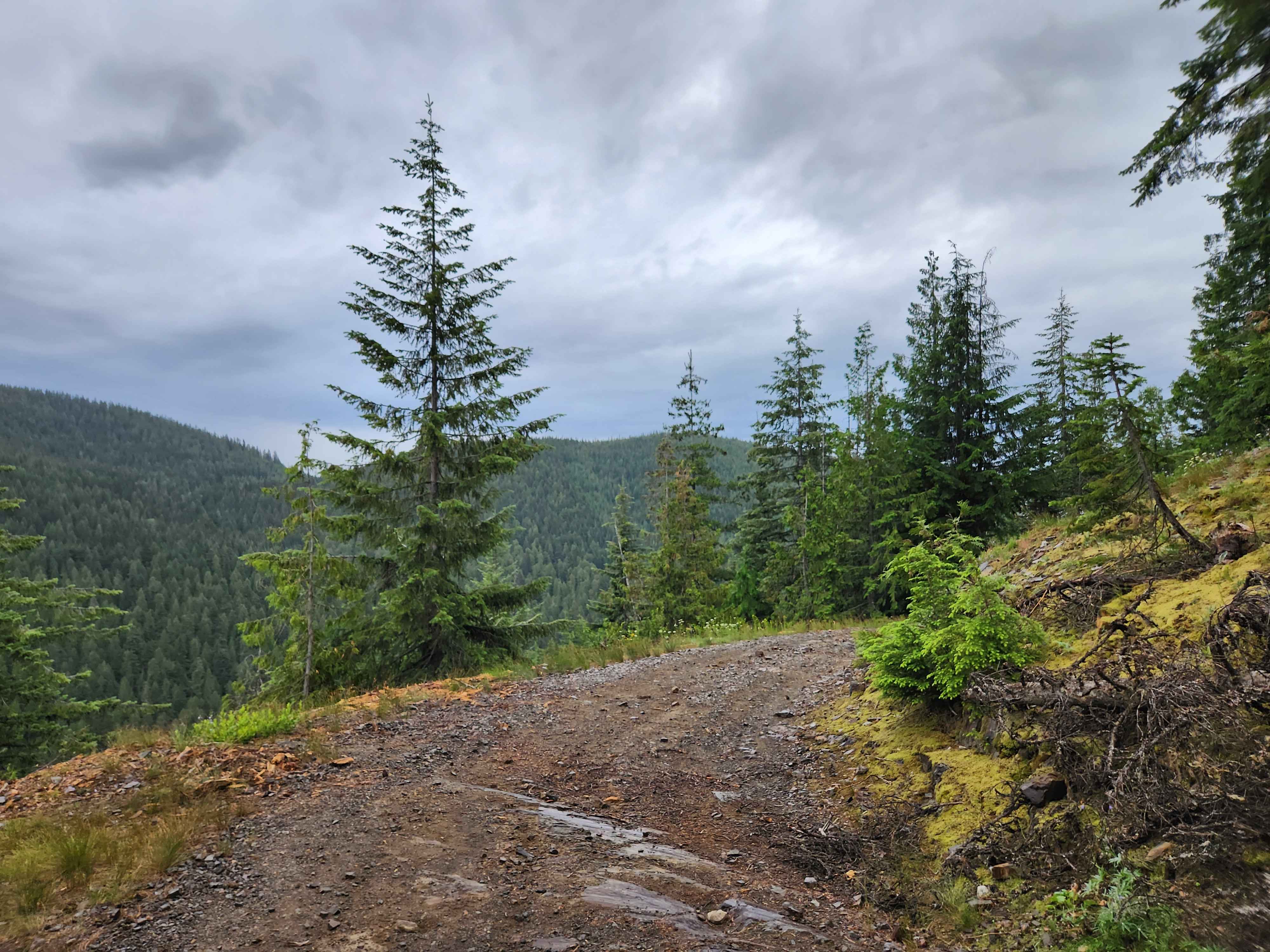
Off-Road Trails in Idaho
Discover off-road trails in Idaho
Learn more about FS 381 Bypass
FS 381 Bypass
Total Miles
1.2
Tech Rating
Easy
Best Time
Spring, Summer, Fall
Learn more about FS 3940 Cutoff Trail
FS 3940 Cutoff Trail
Total Miles
0.5
Tech Rating
Easy
Best Time
Spring, Summer, Fall
Learn more about FS 536-Keating Ridge Road
FS 536-Keating Ridge Road
Total Miles
3.8
Tech Rating
Easy
Best Time
Spring, Summer, Fall
Learn more about Full Creek Crossing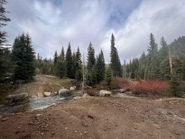
Full Creek Crossing
Total Miles
2.4
Tech Rating
Easy
Best Time
Spring, Summer, Fall
Learn more about Galena Lagoons to Micro Wave Road
Galena Lagoons to Micro Wave Road
Total Miles
5.6
Tech Rating
Easy
Best Time
Summer, Fall, Spring
Learn more about Garner Canyon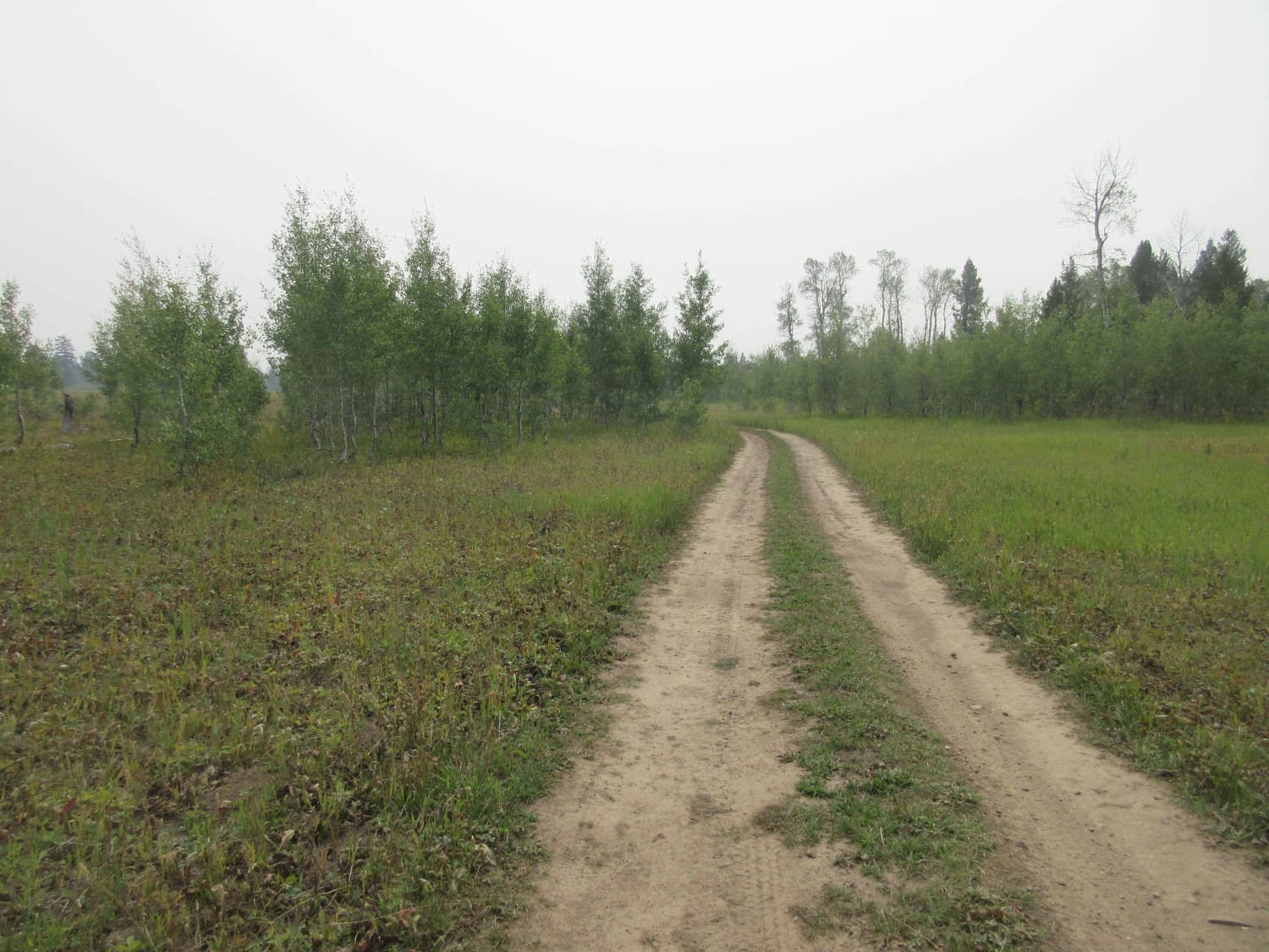
Garner Canyon
Total Miles
2.2
Tech Rating
Easy
Best Time
Spring, Summer, Fall
Learn more about Germania Creek - FS 7111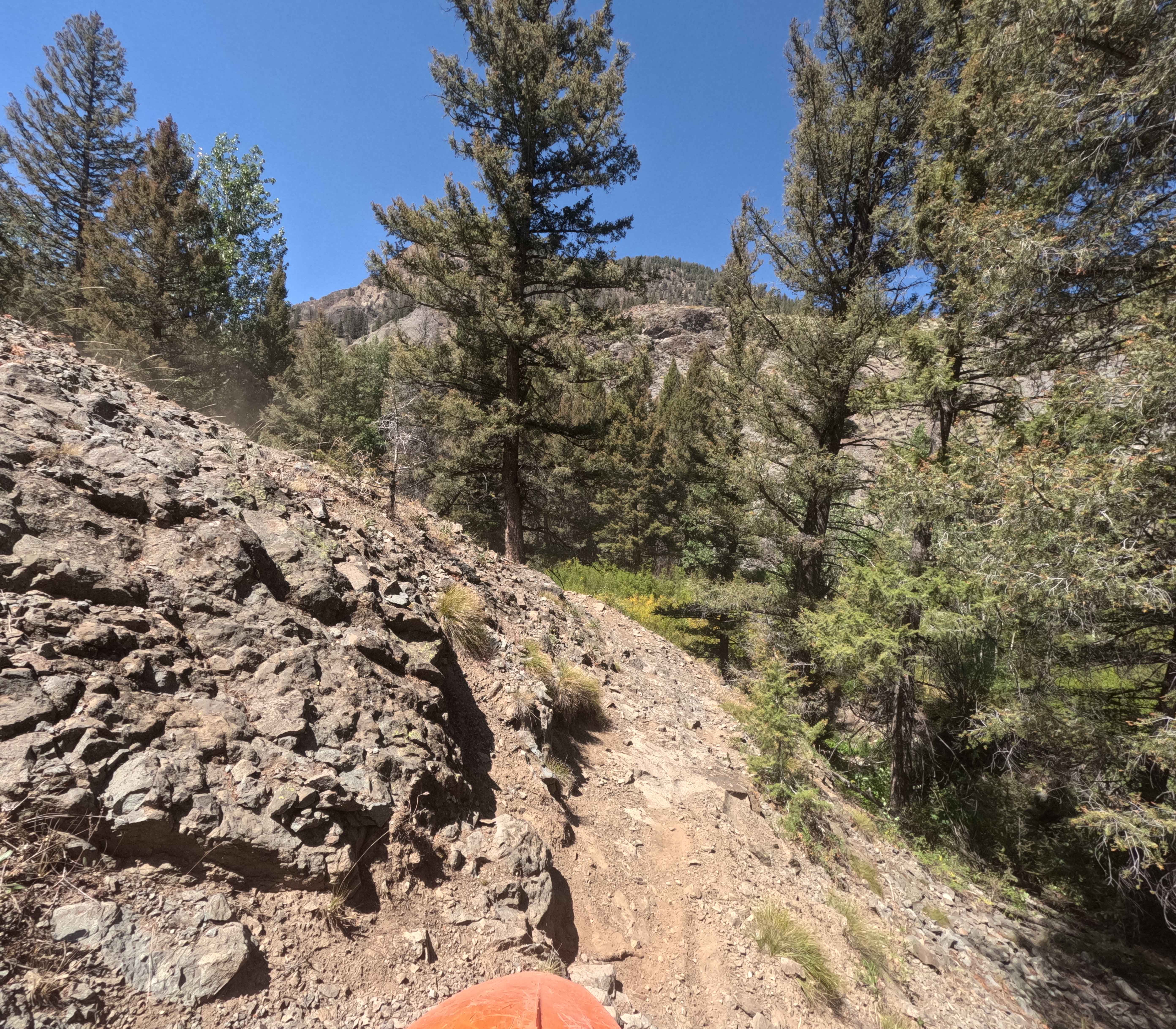
Germania Creek - FS 7111
Total Miles
10.9
Tech Rating
Moderate
Best Time
Summer, Fall
Learn more about Gibson Lakes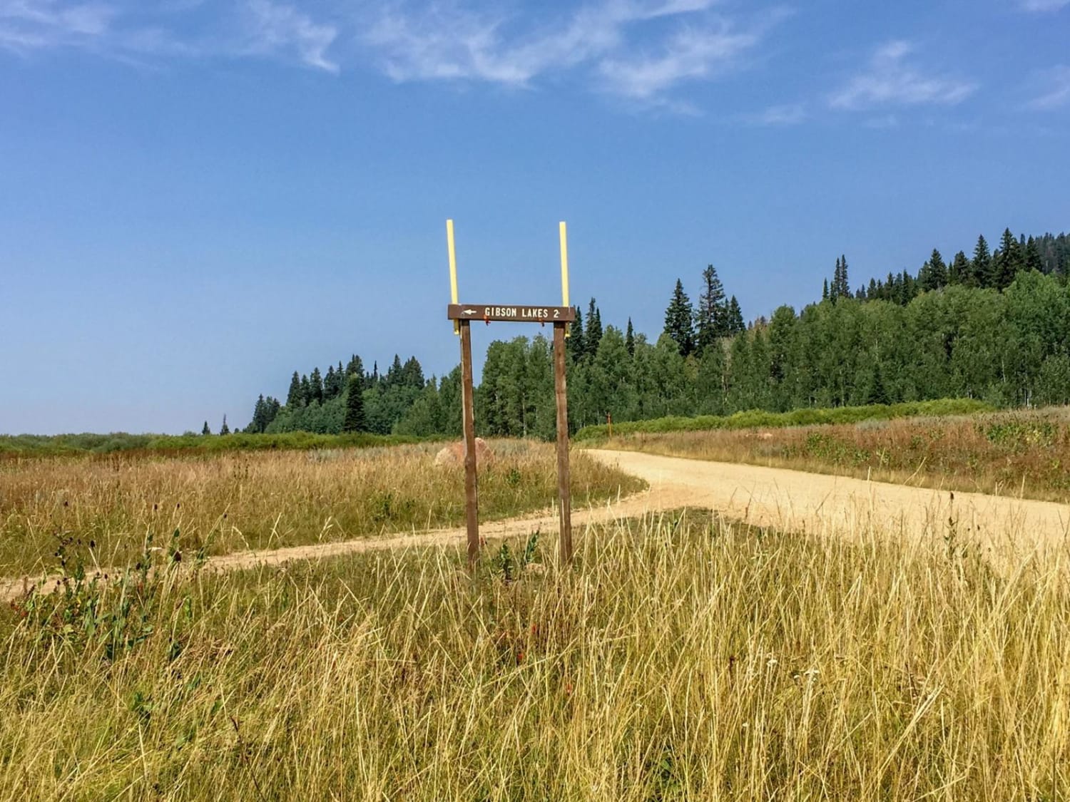
Gibson Lakes
Total Miles
2.6
Tech Rating
Moderate
Best Time
Spring, Summer, Fall, Winter
Learn more about Gleason McAbee 334
Gleason McAbee 334
Total Miles
9.2
Tech Rating
Easy
Best Time
Spring, Summer, Fall, Winter
Learn more about Glenn's Grassy Ascent
Glenn's Grassy Ascent
Total Miles
5.8
Tech Rating
Easy
Best Time
Spring, Fall
Learn more about Gold Fork Loop 393 (China Fork West Fork)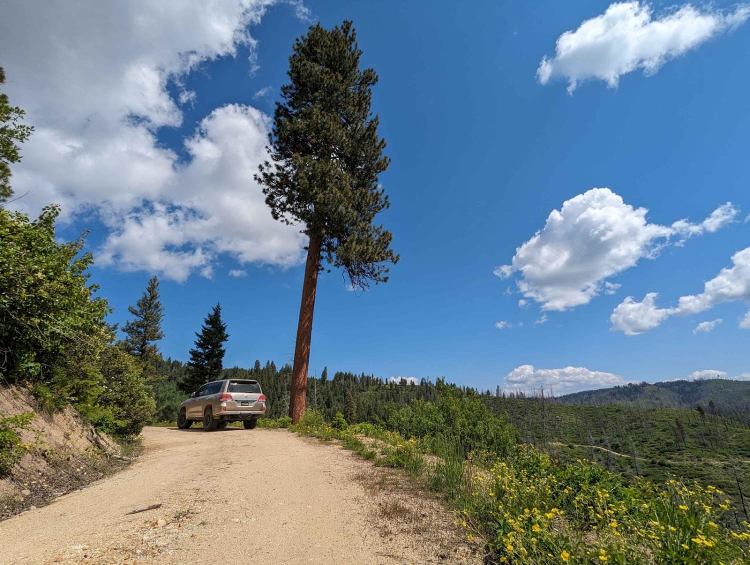
Gold Fork Loop 393 (China Fork West Fork)
Total Miles
8.5
Tech Rating
Easy
Best Time
Spring, Summer, Fall, Winter
Learn more about Gold Hill - FS 770
Gold Hill - FS 770
Total Miles
8.0
Tech Rating
Easy
Best Time
Spring, Summer, Fall, Winter
Learn more about Gold Hill - FS 770-A
Gold Hill - FS 770-A
Total Miles
2.0
Tech Rating
Easy
Best Time
Summer, Fall
Learn more about Goodenough - Bell Marsh Creek
Goodenough - Bell Marsh Creek
Total Miles
7.5
Tech Rating
Difficult
Best Time
Summer, Spring, Fall
Learn more about Goodheart Springs #3566
Goodheart Springs #3566
Total Miles
1.0
Tech Rating
Moderate
Best Time
Summer, Fall
ATV trails in Idaho
Learn more about Aspen Range - Middle Sulphur #5248 
Aspen Range - Middle Sulphur #5248
Total Miles
1.9
Tech Rating
Easy
Best Time
Summer, Fall
Learn more about Dry Fork - Meadow Springs #5226 
Dry Fork - Meadow Springs #5226
Total Miles
0.4
Tech Rating
Easy
Best Time
Summer, Fall
Learn more about South Foothill Road
South Foothill Road
Total Miles
8.2
Tech Rating
Moderate
Best Time
Summer, Fall

UTV/side-by-side trails in Idaho
Learn more about South Foothill Road
South Foothill Road
Total Miles
8.2
Tech Rating
Moderate
Best Time
Summer, Fall

Learn more about 21 To Nip & Tuck
21 To Nip & Tuck
Total Miles
1.4
Tech Rating
Easy
Best Time
Fall, Summer, Spring

The onX Offroad Difference
onX Offroad combines trail photos, descriptions, difficulty ratings, width restrictions, seasonality, and more in a user-friendly interface. Available on all devices, with offline access and full compatibility with CarPlay and Android Auto. Discover what you’re missing today!