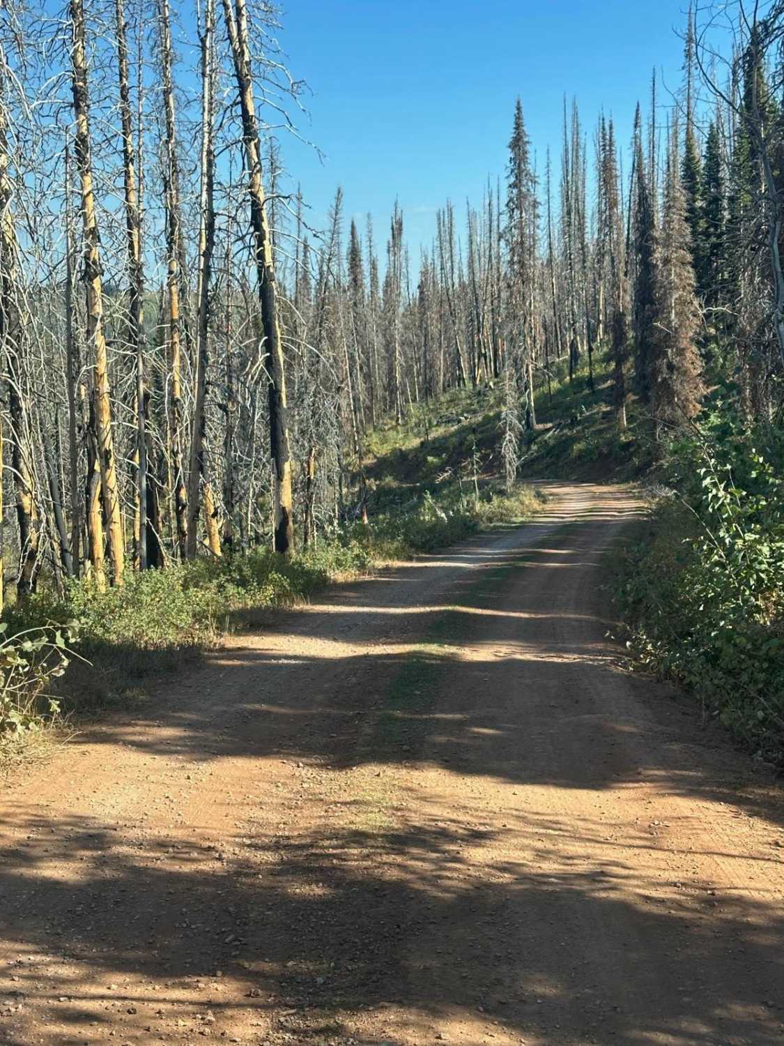
Off-Road Trails in Idaho
Discover off-road trails in Idaho
Learn more about Elk-Morris Connection
Elk-Morris Connection
Total Miles
3.2
Tech Rating
Easy
Best Time
Summer, Fall
Learn more about Elkberry Creek Road
Elkberry Creek Road
Total Miles
6.4
Tech Rating
Easy
Best Time
Summer, Fall

Learn more about Emigration #3359 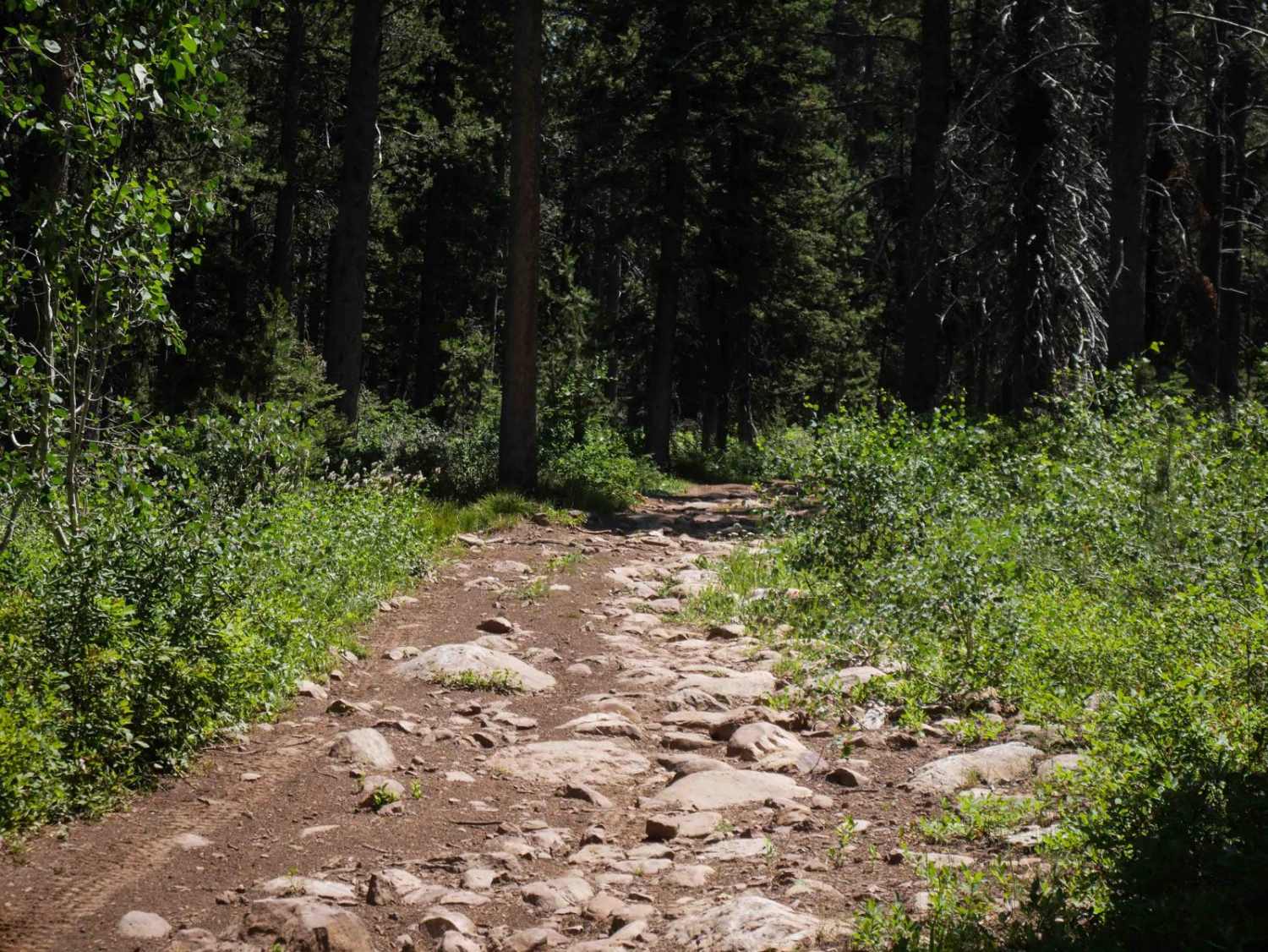
Emigration #3359
Total Miles
2.6
Tech Rating
Easy
Best Time
Fall, Summer
Learn more about End of Brush Creek Road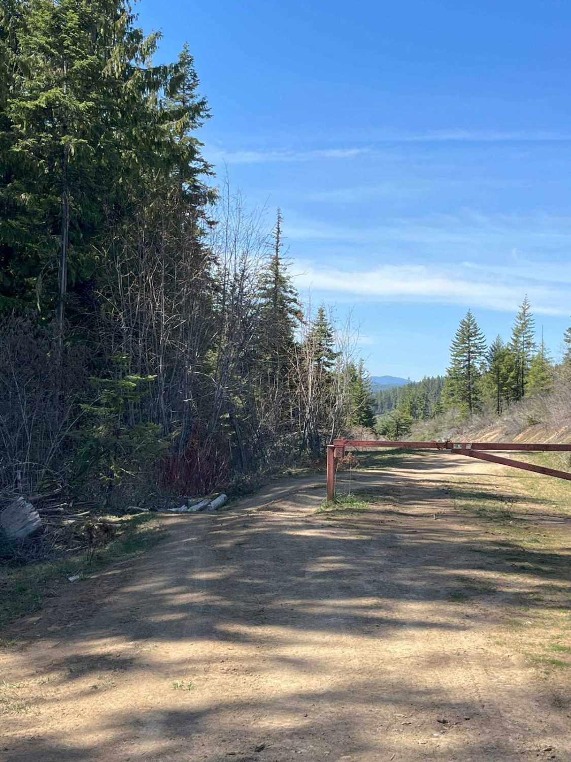
End of Brush Creek Road
Total Miles
3.0
Tech Rating
Easy
Best Time
Spring, Summer, Fall
Learn more about Ermine Ridge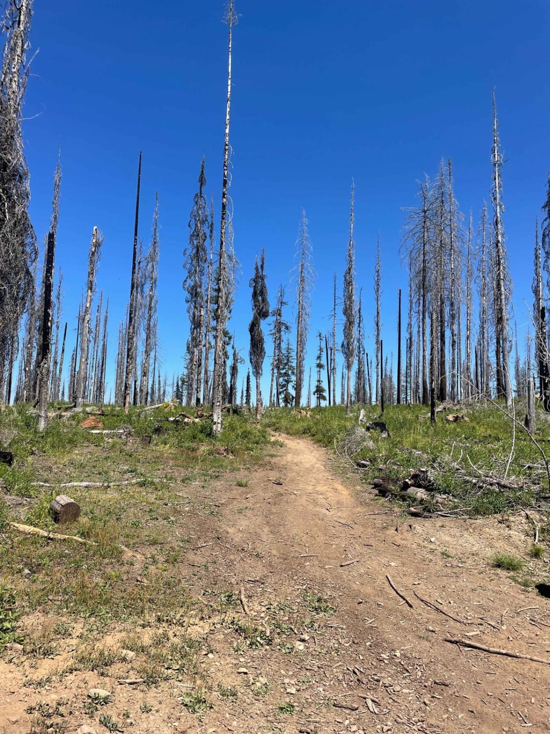
Ermine Ridge
Total Miles
4.5
Tech Rating
Moderate
Best Time
Spring, Summer, Fall

Learn more about Excavation Gulch No. 27
Excavation Gulch No. 27
Total Miles
1.3
Tech Rating
Moderate
Best Time
Fall, Summer, Spring
Learn more about Fall Creek Indian Creek
Fall Creek Indian Creek
Total Miles
4.0
Tech Rating
Extreme
Best Time
Summer, Fall
Learn more about Fanny's Hole ATV 
Fanny's Hole ATV
Total Miles
4.2
Tech Rating
Easy
Best Time
Summer, Fall
Learn more about Fawn Spring 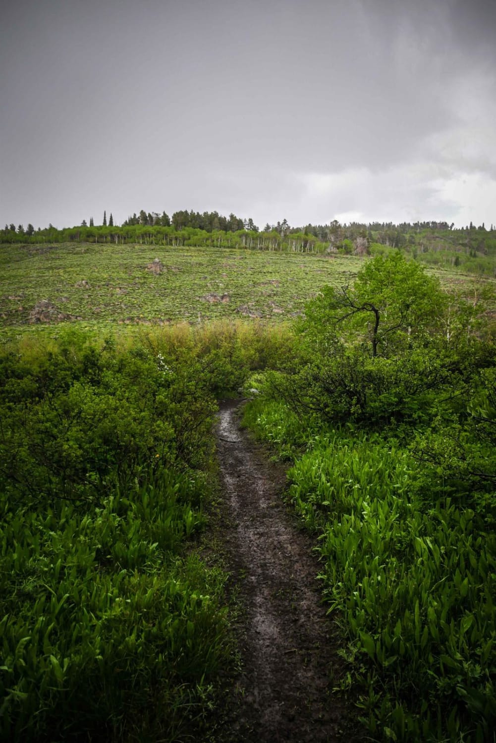
Fawn Spring
Total Miles
1.5
Tech Rating
Moderate
Best Time
Spring, Summer, Fall
Learn more about Featherville To Rocky Bar Ghost Town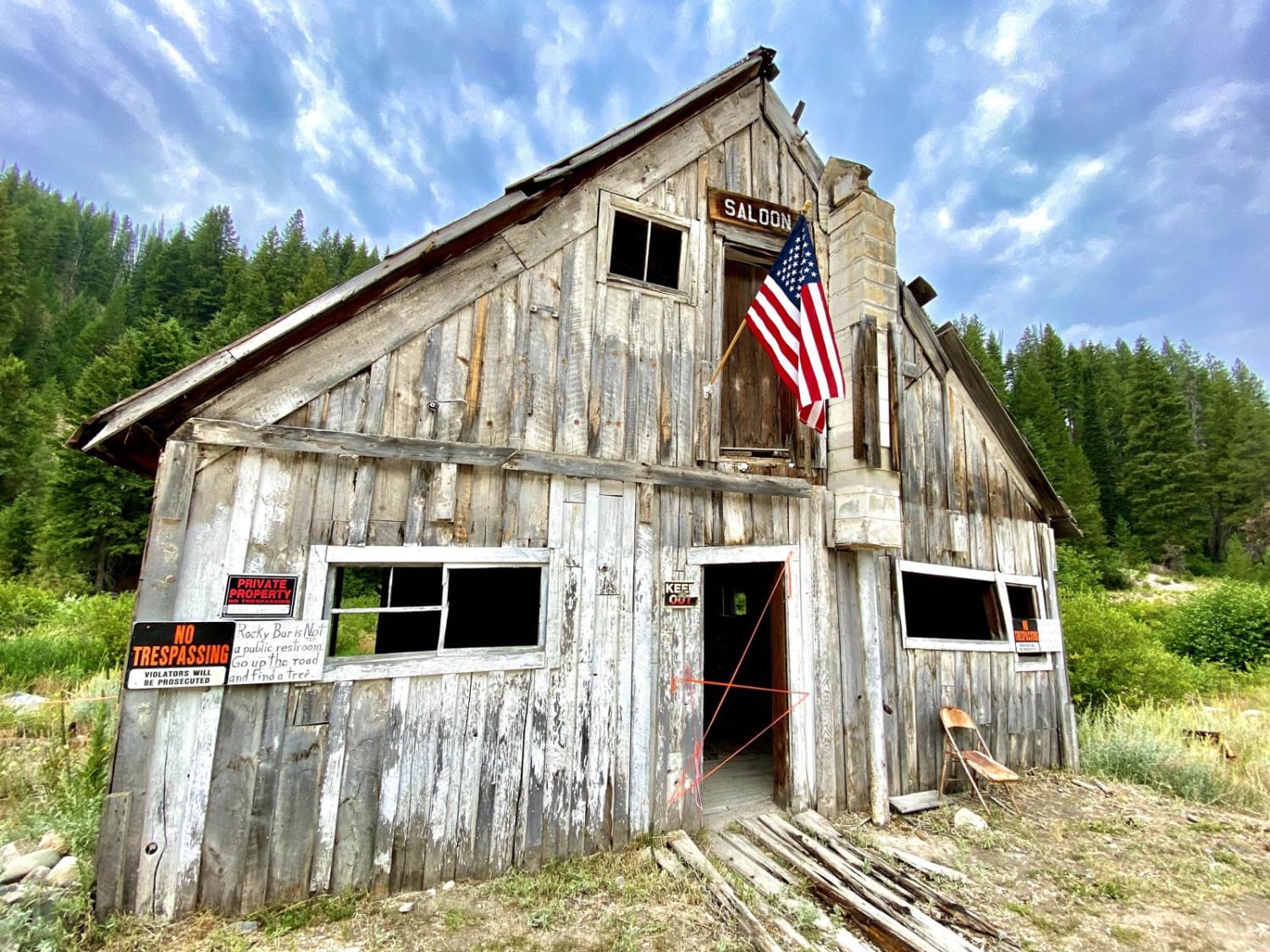
Featherville To Rocky Bar Ghost Town
Total Miles
8.0
Tech Rating
Easy
Best Time
Summer, Fall
Learn more about Femrite's Patrol Trail 6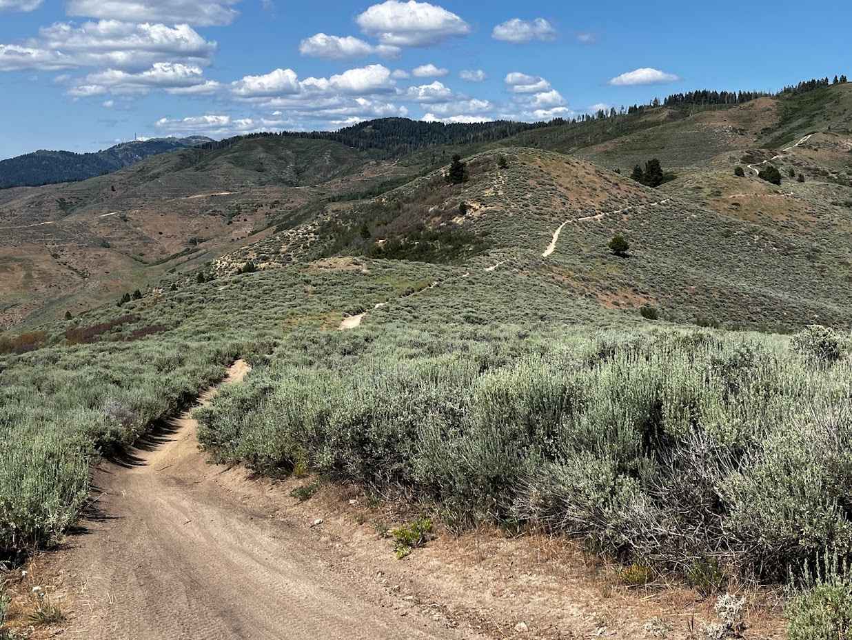
Femrite's Patrol Trail 6
Total Miles
3.6
Tech Rating
Moderate
Best Time
Spring
Learn more about Fence Line Trail
Fence Line Trail
Total Miles
2.8
Tech Rating
Easy
Best Time
Fall, Summer, Spring
Learn more about Fernan Saddle
Fernan Saddle
Total Miles
2.5
Tech Rating
Easy
Best Time
Fall, Summer, Spring
Learn more about Fish - Chick Creek Roads
Fish - Chick Creek Roads
Total Miles
5.0
Tech Rating
Easy
Best Time
Spring, Summer, Fall
ATV trails in Idaho
Learn more about Aspen Range - Middle Sulphur #5248 
Aspen Range - Middle Sulphur #5248
Total Miles
1.9
Tech Rating
Easy
Best Time
Summer, Fall
Learn more about Dry Fork - Meadow Springs #5226 
Dry Fork - Meadow Springs #5226
Total Miles
0.4
Tech Rating
Easy
Best Time
Summer, Fall
Learn more about South Foothill Road
South Foothill Road
Total Miles
8.2
Tech Rating
Moderate
Best Time
Summer, Fall

UTV/side-by-side trails in Idaho
Learn more about South Foothill Road
South Foothill Road
Total Miles
8.2
Tech Rating
Moderate
Best Time
Summer, Fall

Learn more about 21 To Nip & Tuck
21 To Nip & Tuck
Total Miles
1.4
Tech Rating
Easy
Best Time
Fall, Summer, Spring

The onX Offroad Difference
onX Offroad combines trail photos, descriptions, difficulty ratings, width restrictions, seasonality, and more in a user-friendly interface. Available on all devices, with offline access and full compatibility with CarPlay and Android Auto. Discover what you’re missing today!