Ermine Ridge
Total Miles
4.5
Technical Rating
Best Time
Spring, Summer, Fall
Trail Type
Single Track
Accessible By
Trail Overview
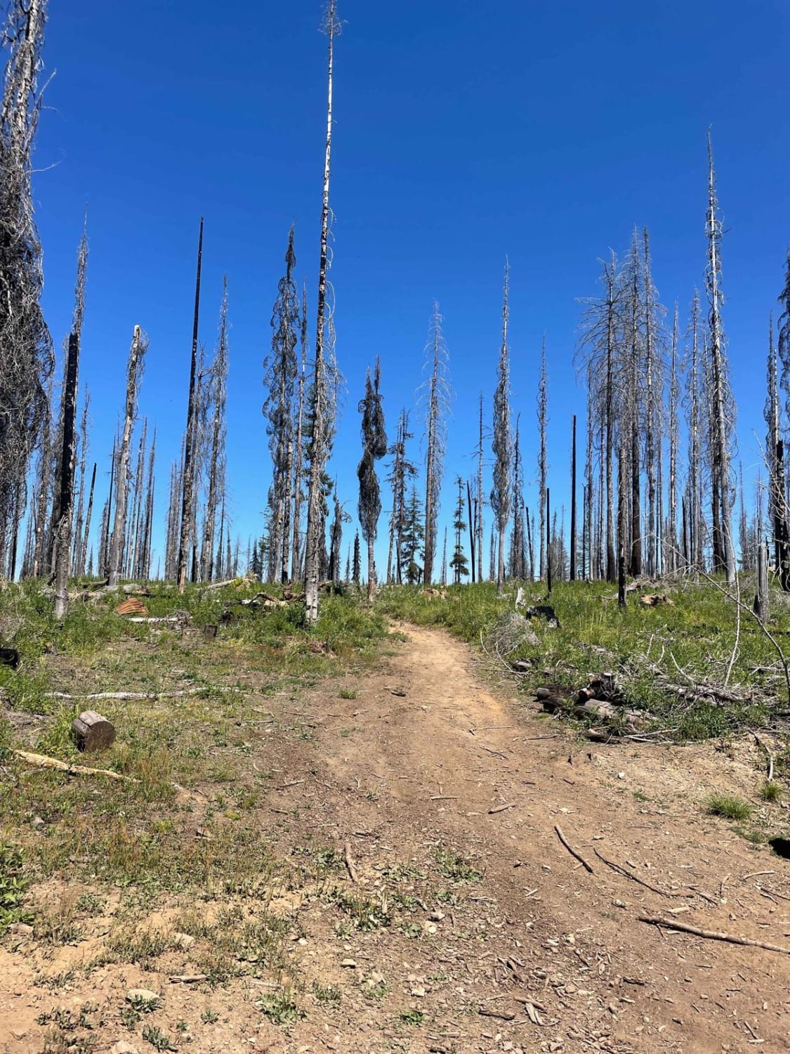
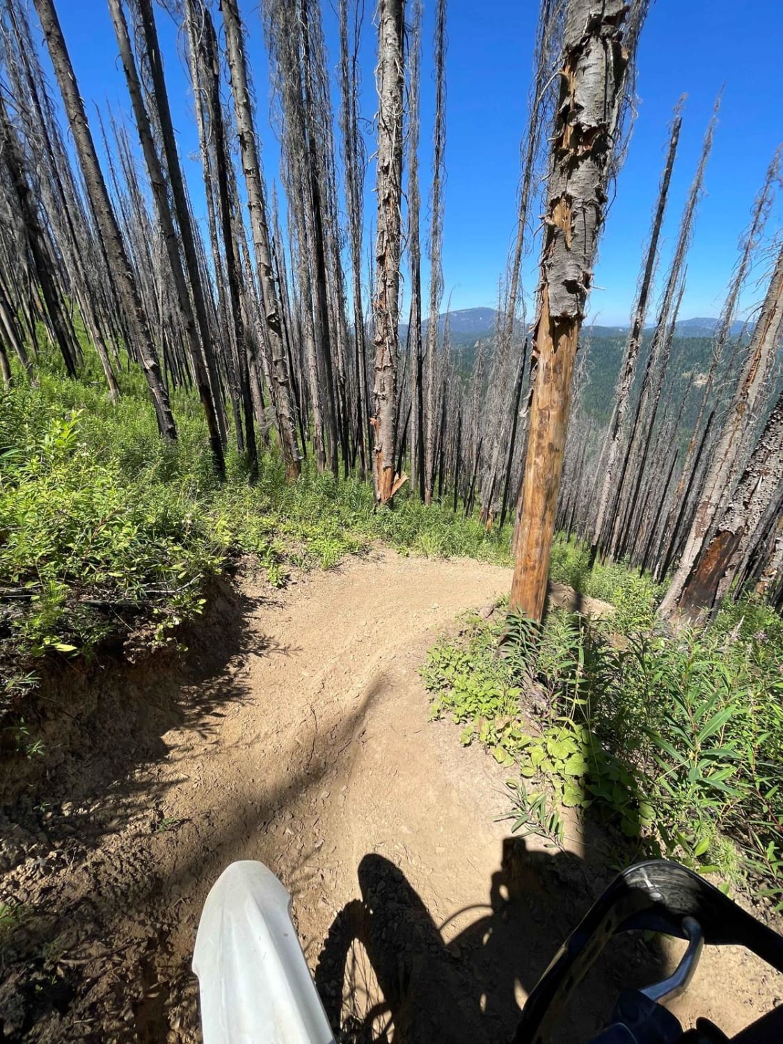
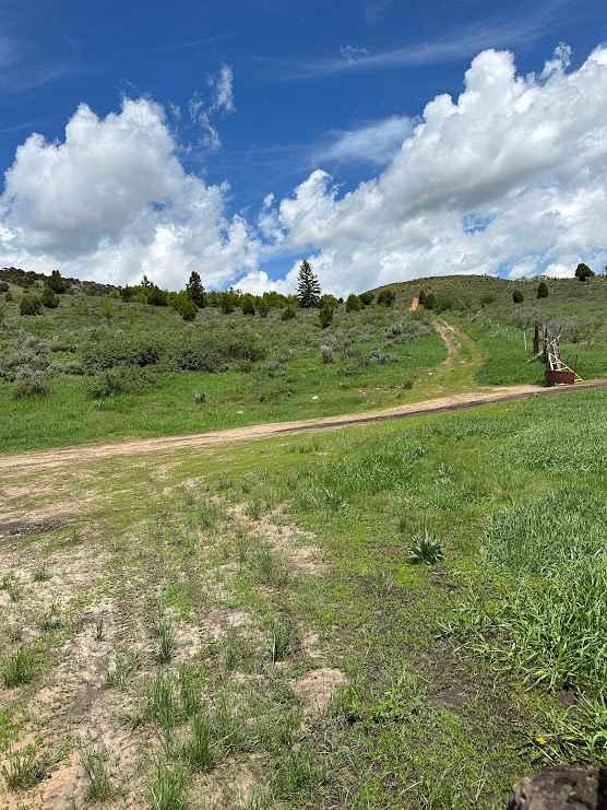
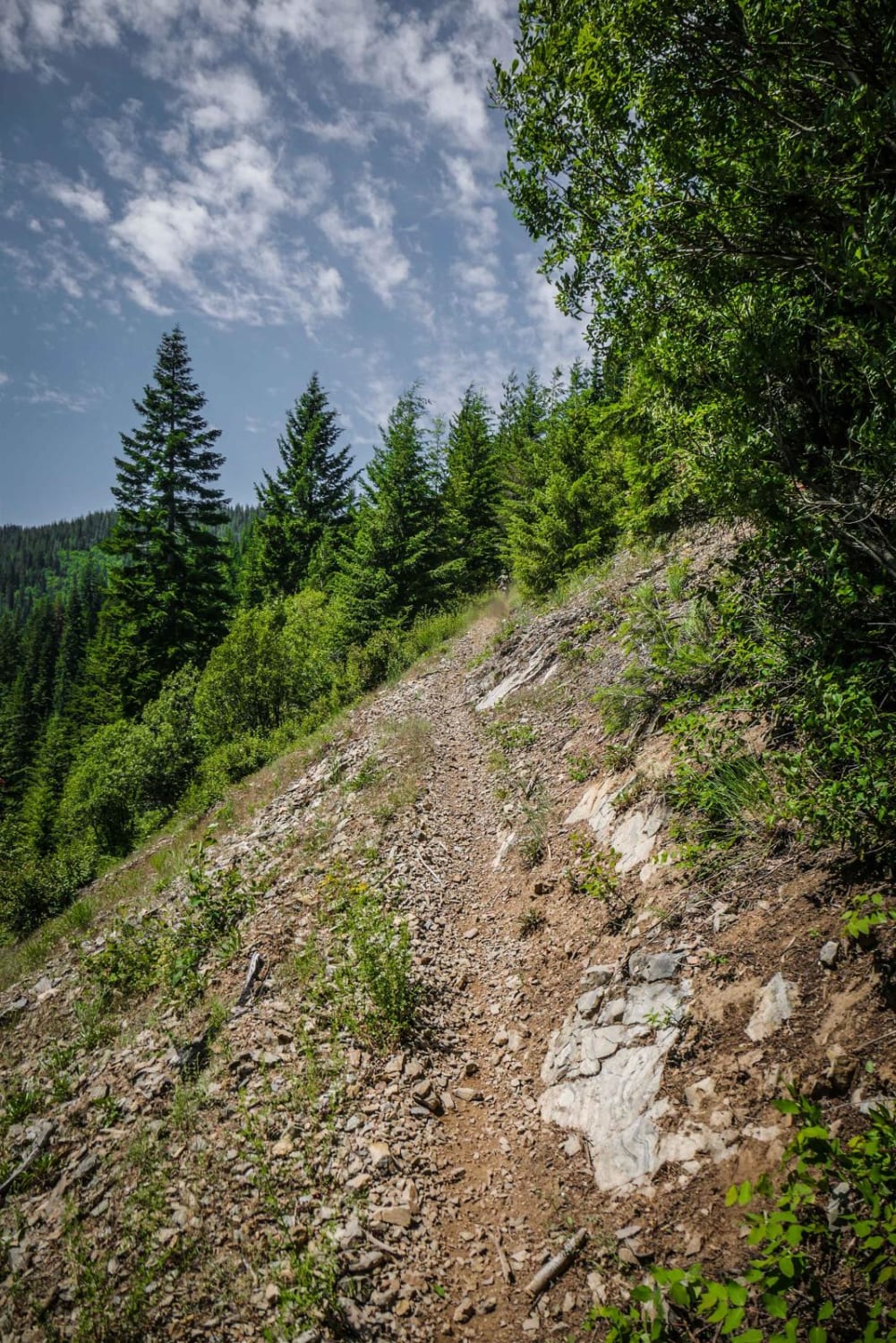
Ermine Ridge is a short single track in the CDA National Forest. Riding north to south, from Faset Road, drop down a couple of steep switchbacks, and the trail flattens out on a ridgeline. The single track is in a burn area, so has a risk of downed logs and more sun exposure, but also has amazing views of the surrounding mountains and wildflowers that line the trail in the summer. The overall descent from Faset Road back to Independence Creek has some varied sections of steep, steady decline, flat sections, and also some steep inclines on loose dirt with small loose rocks. The trail is mostly smooth dirt but also has some sections of loose rock. There are small to medium-sized roots that are dry and easy to get over. The last section, before dropping down to Independence Creek, exits the burn area, so has some sections with more shade coverage. The last section has more ledge exposure with a couple of rock/root obstacles.
Photos of Ermine Ridge
Difficulty
Difficulty based on steep loose switchbacks in beginning, and ledge exposure near the end with a few bigger rock/root obstacles.
Status Reports
Ermine Ridge can be accessed by the following ride types:
- Dirt Bike
Ermine Ridge Map
Popular Trails
Razorback Ridge

The onX Offroad Difference
onX Offroad combines trail photos, descriptions, difficulty ratings, width restrictions, seasonality, and more in a user-friendly interface. Available on all devices, with offline access and full compatibility with CarPlay and Android Auto. Discover what you’re missing today!