Crutcher's Crossing Cherrystem
Total Miles
9.8
Technical Rating
Best Time
Fall
Trail Type
Full-Width Road
Accessible By
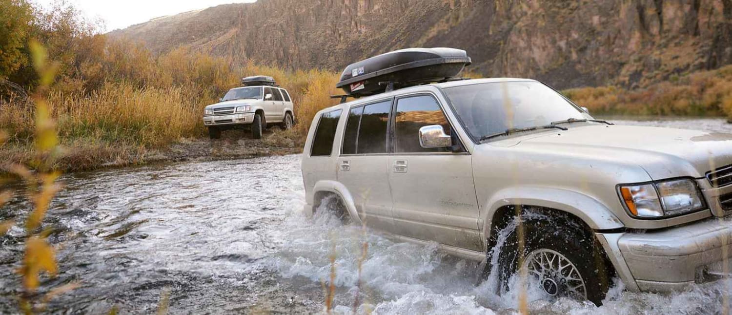
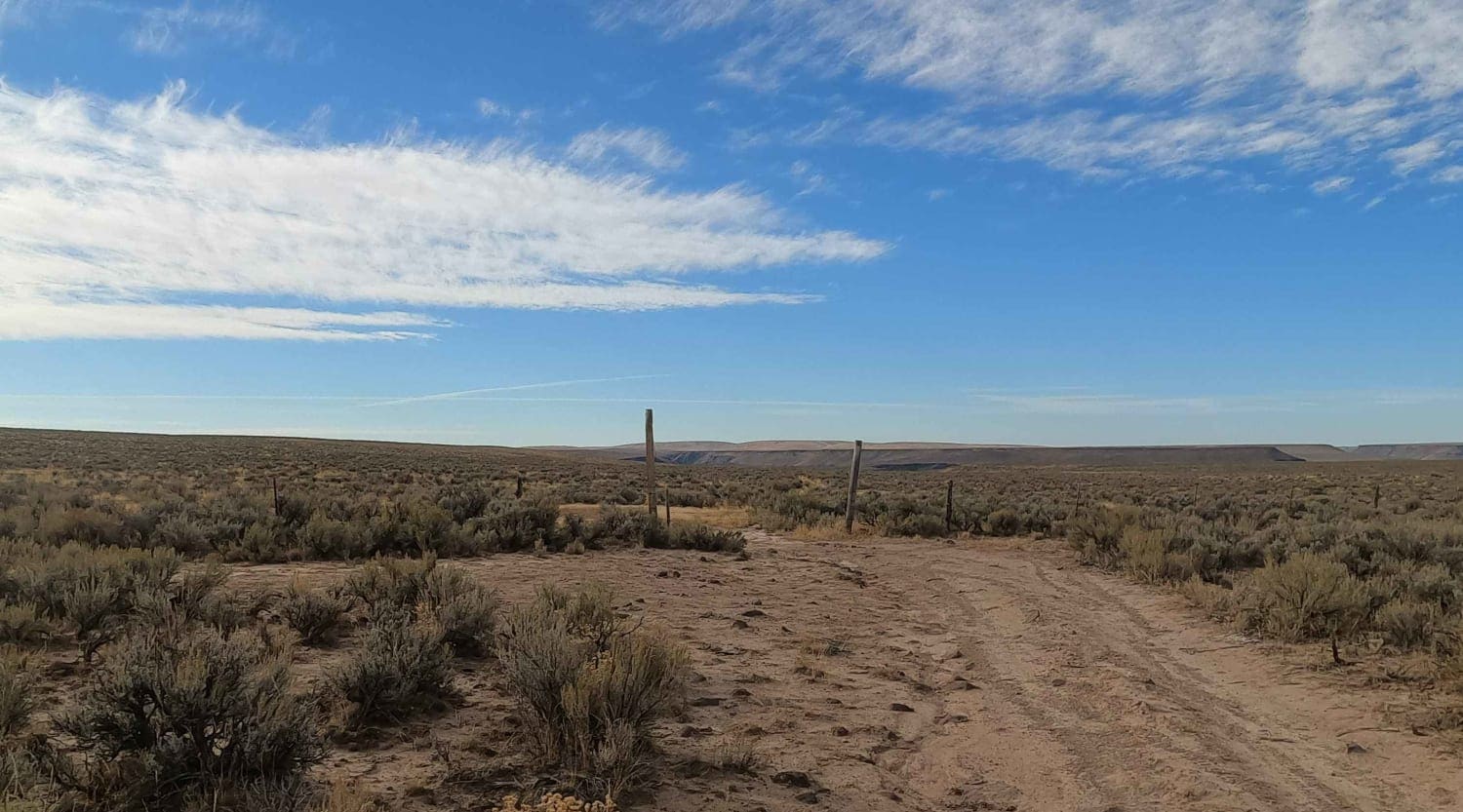
Trail Overview
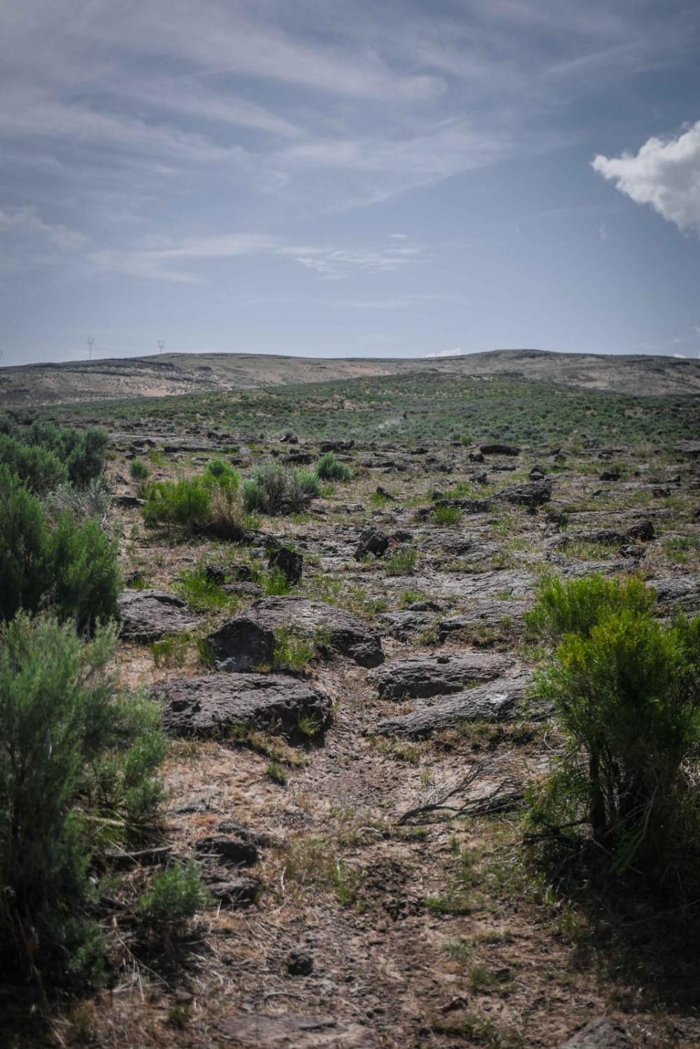
This rocky dirt road passes through the Owyhee River Wilderness, drops down into the South Fork of the Owyhee River Canyon and passes through private property at 45 Ranch, fords the river, and then climbs back up out of the canyon and continues South along the plateau to the Nevada state line. This section is rated a Five (5) while the rest of this road is a Two (2). The river ford itself is shallow and simple in the fall when water levels are down but it is always a good idea to wade the river on foot to check depth and current. There is very little traffic out here. Bring extra fuel, water, and spare tires. There is a high silica content in the dirt in this region. When dry, it's a fine talc dust that gets everywhere and in everything. When wet, it becomes a slippery mess and dries hard on your vehicle like concrete. Be prepared to hike out if traveling in this area during the wet season.
Photos of Crutcher's Crossing Cherrystem
Difficulty
Easy dirt road with river ford
Status Reports
Crutcher's Crossing Cherrystem can be accessed by the following ride types:
- SUV
Crutcher's Crossing Cherrystem Map
Popular Trails
Jewel Gulch - 103
Chimney Gulch to Mammoth Canyon
Sweet N Low

The onX Offroad Difference
onX Offroad combines trail photos, descriptions, difficulty ratings, width restrictions, seasonality, and more in a user-friendly interface. Available on all devices, with offline access and full compatibility with CarPlay and Android Auto. Discover what you’re missing today!