Jaggles Canyon
Total Miles
5.0
Technical Rating
Best Time
Spring, Fall
Trail Type
Full-Width Road
Accessible By
Trail Overview
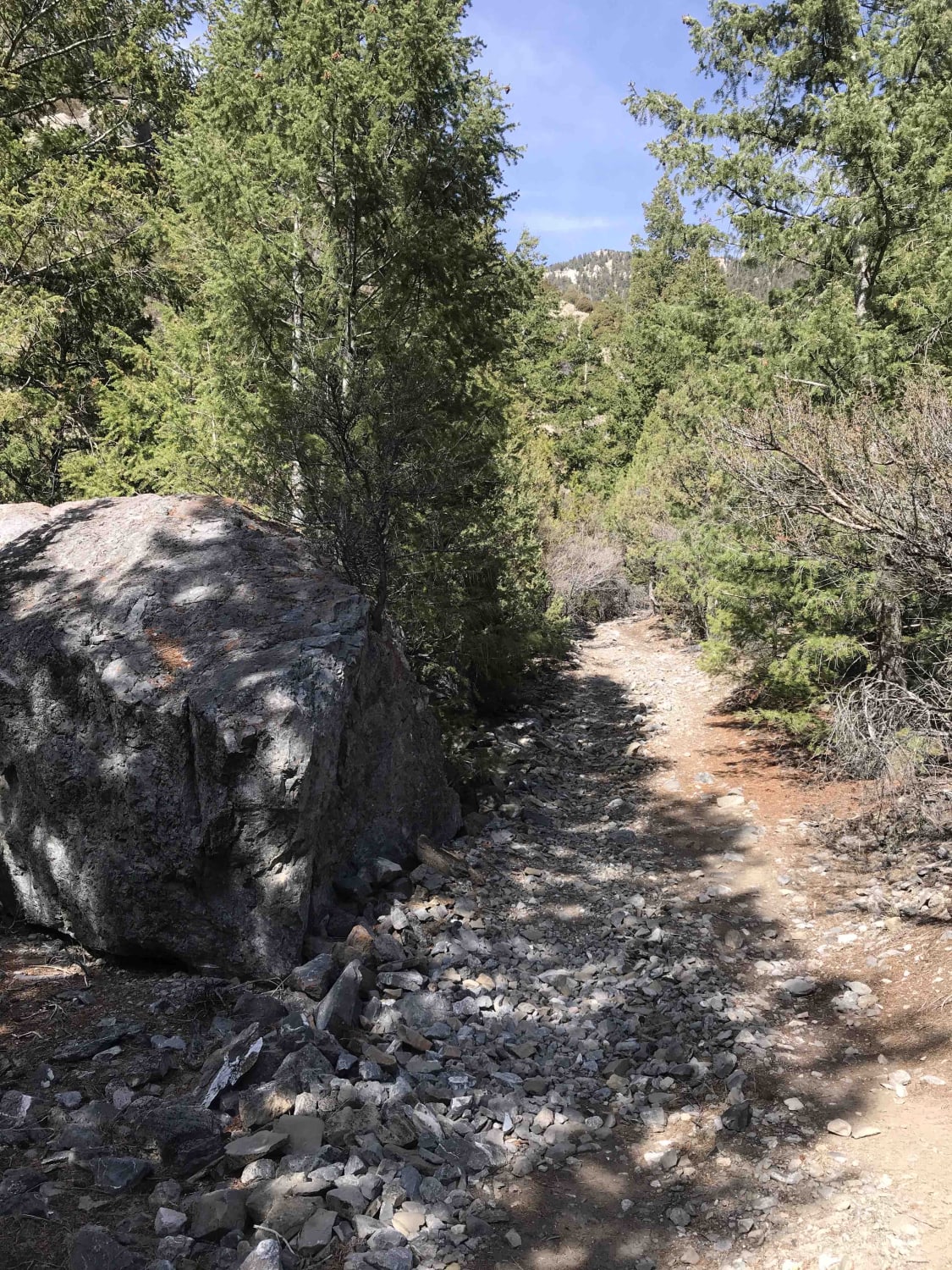
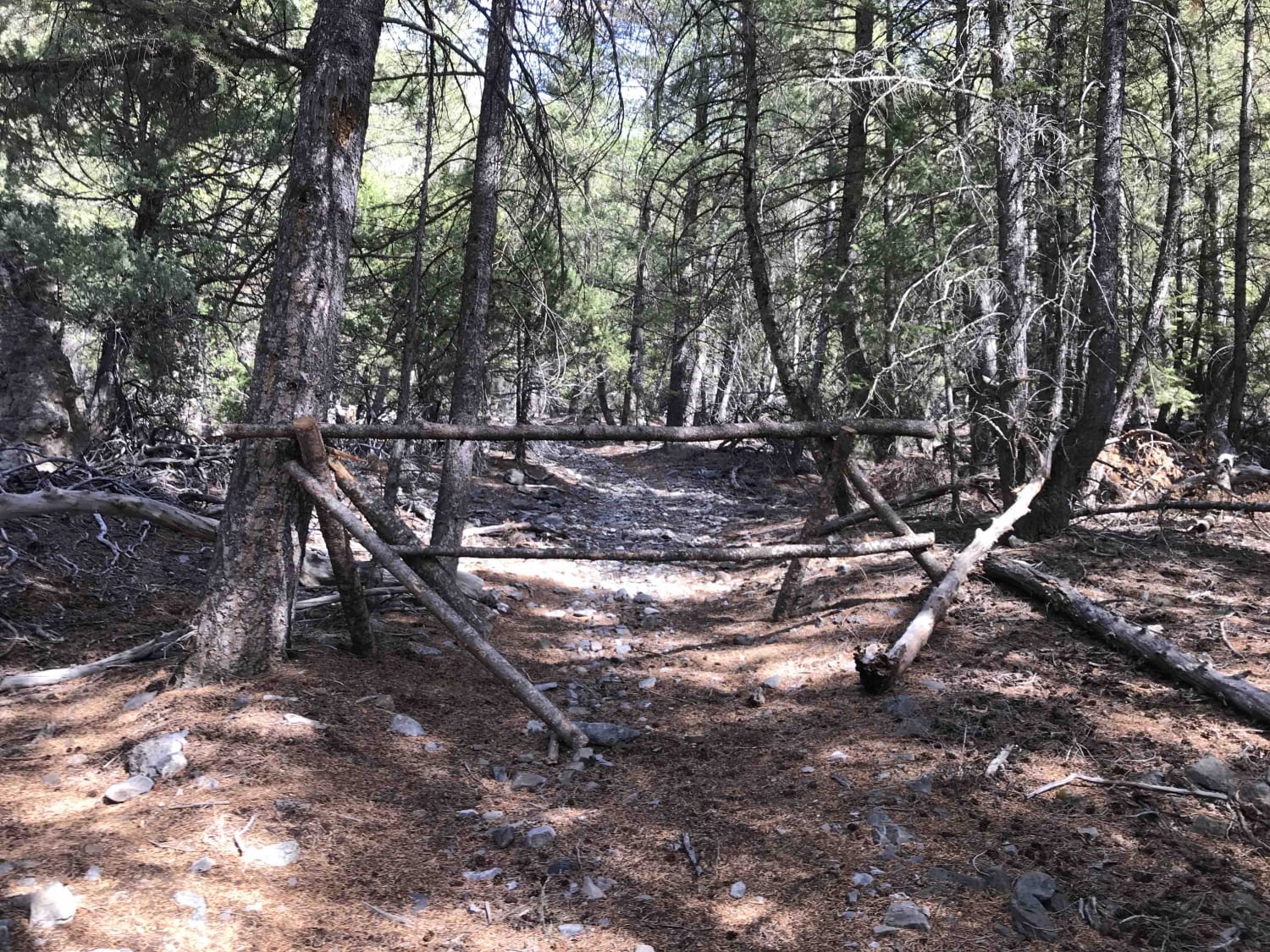
This is a short but scenic two-track route into a box canyon with excellent views of picturesque peaks, valley walls, and farmland below. Getting there is easy as long as you follow onXmaps. Once you hit the forest boundary, the trail turns from dusty/gravelly to loose cobble two-track. It gets narrower and narrower as you climb into the canyon with sagebrush and evergreens threatening your paint job. The trail is not difficult, just loose and tight in spots. An amazing boondock spot awaits at the end of the trail. Hikers can keep going up from there into some very wild country.
Photos of Jaggles Canyon
Difficulty
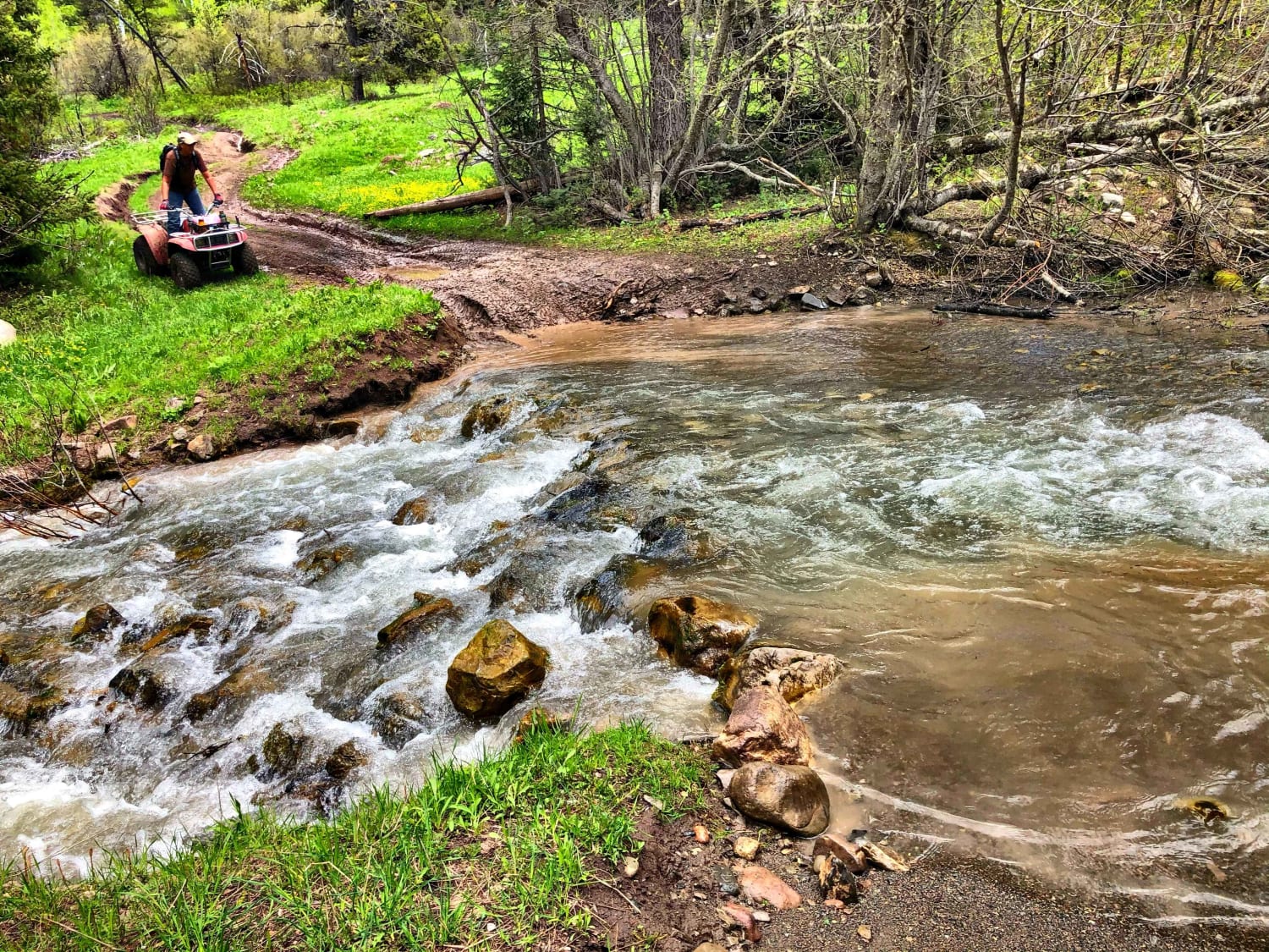
This trail has some loose gravel/cobble, tight squeezes between trees, and dry wash crossings with potential for water if it's raining hard or during spring runoff.
Status Reports
Jaggles Canyon can be accessed by the following ride types:
- High-Clearance 4x4
- SUV
- SxS (60")
- ATV (50")
- Dirt Bike
Jaggles Canyon Map
Popular Trails
Burns Trout Creek Trail
Coyote Creek #5122


Bear Wallow #3442
The onX Offroad Difference
onX Offroad combines trail photos, descriptions, difficulty ratings, width restrictions, seasonality, and more in a user-friendly interface. Available on all devices, with offline access and full compatibility with CarPlay and Android Auto. Discover what you’re missing today!