Castle Rock - FS 7140
Total Miles
7.5
Technical Rating
Best Time
Summer, Fall
Trail Type
Single Track
Accessible By
Trail Overview
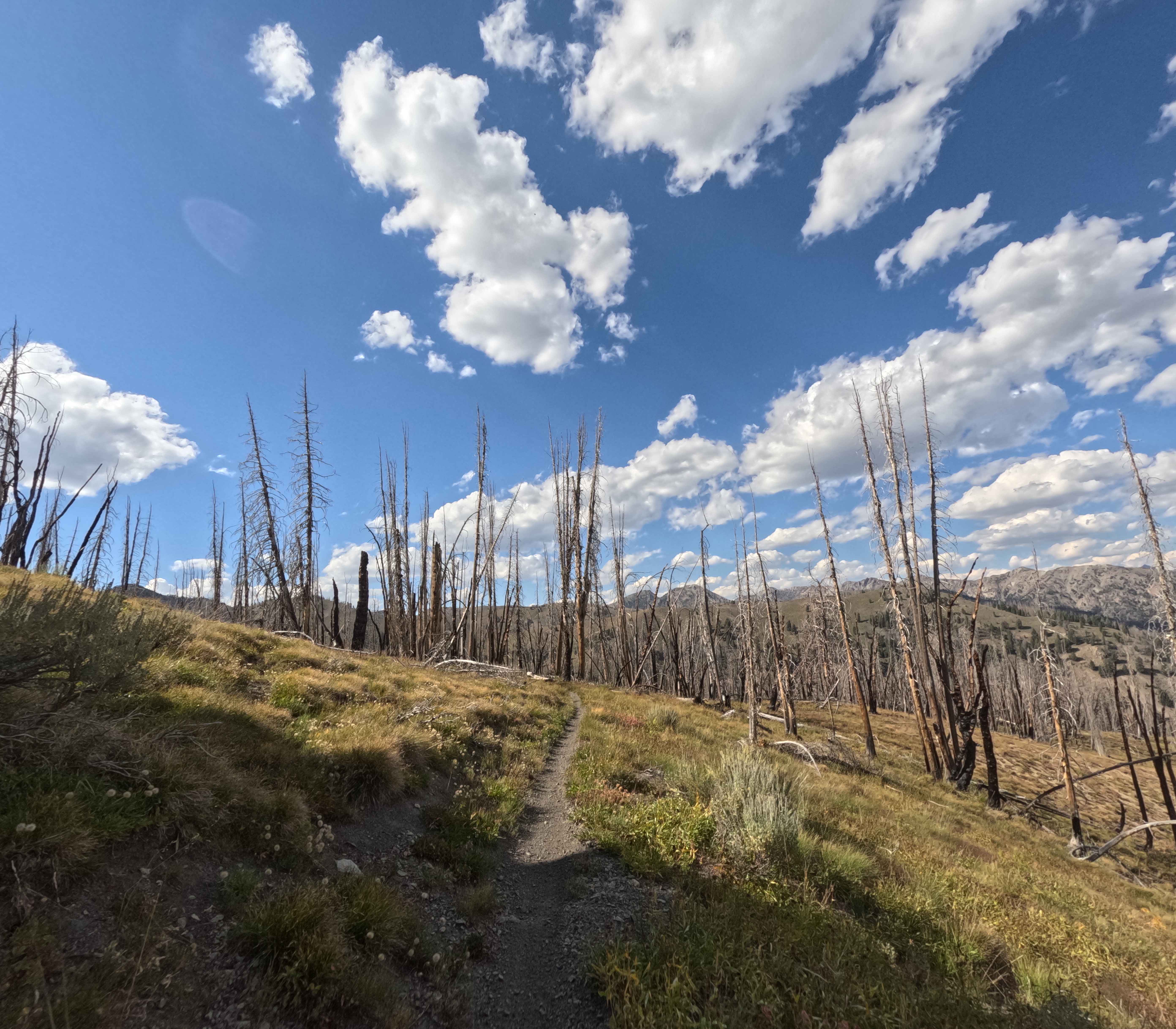
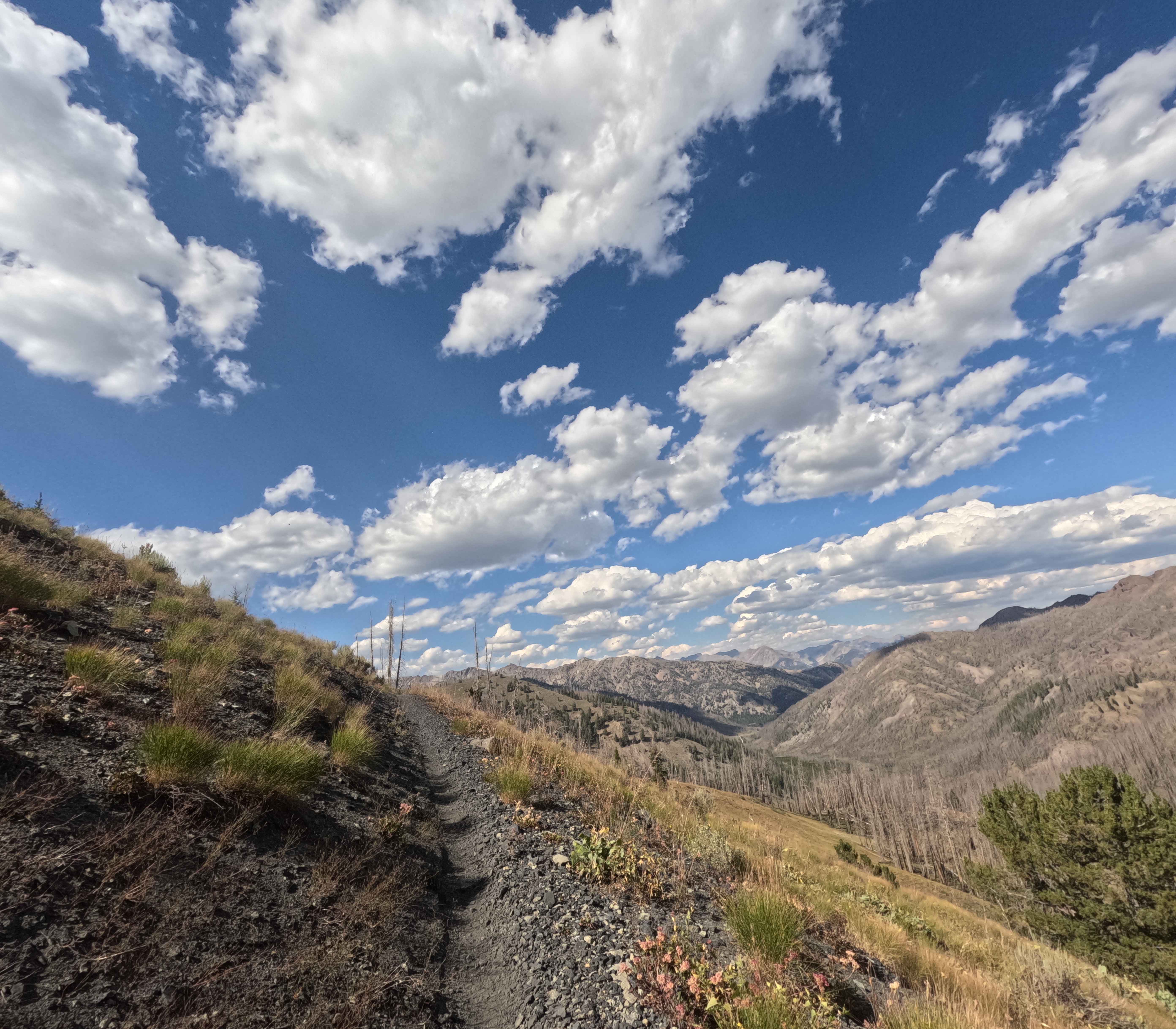
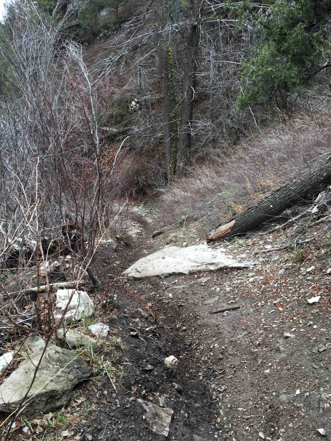
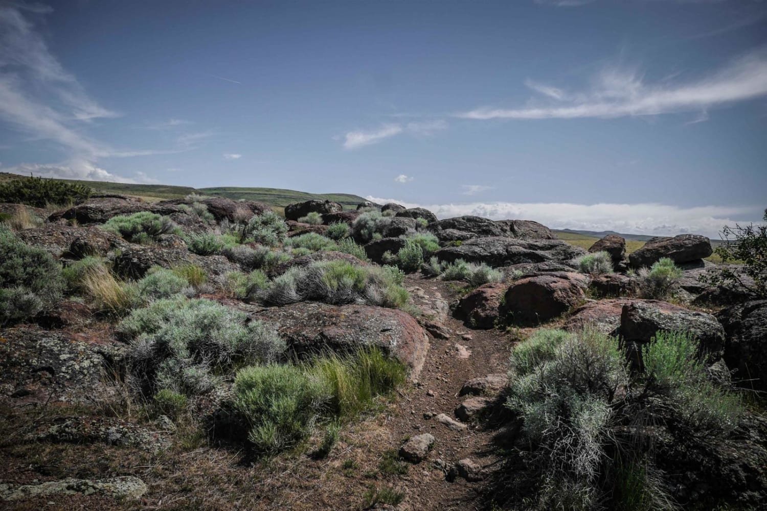
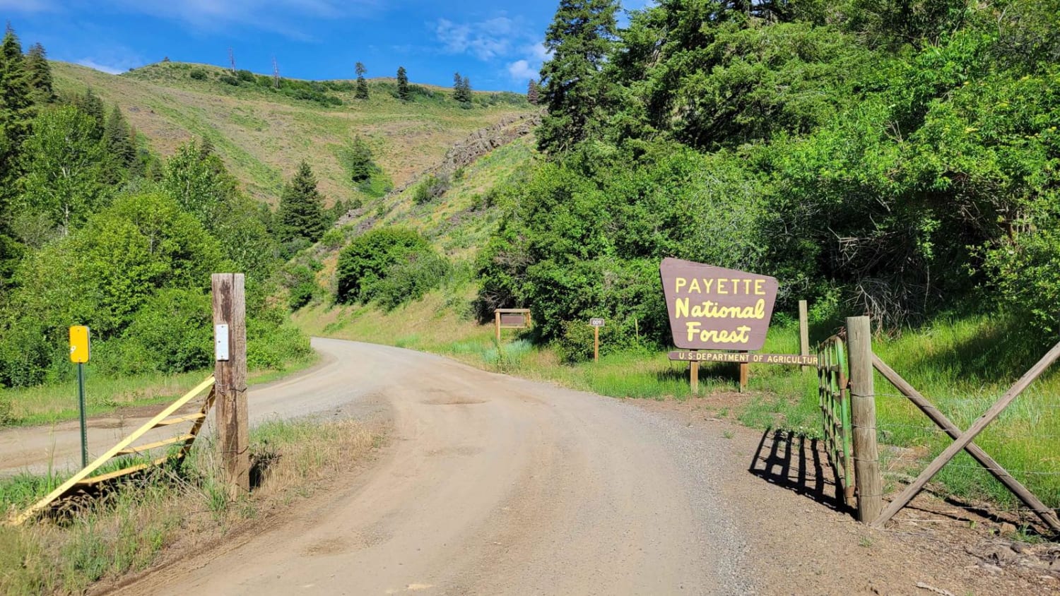
Castle Rock (7140) is a single track in the Smoky Mountains, located about 20 minutes west of Ketchum, Idaho. The trail runs 7.4 miles Southeast from the West end of the Osberg Ridgeline Trail to Forest Service Road 70227, climbing roughly 2,000 feet in total. It begins in a high mountain field before weaving between pockets of short grass and stands of old fire-damaged timber. From there, the route follows Castle Creek down a valley, mixing stretches of packed dirt with occasional patches of gravel. The Northern end features several large switchbacks that aren't too difficult, while narrower side-hills segments across gravel add exposure. Fallen trees are common in the burn areas and can catch riders off guard. As the trail descends, it bounces between open meadows and charred forest before finishing at the Castle Rock formation near the road.
Photos of Castle Rock - FS 7140
Difficulty
This trail is easier than others in the area. No major obstacles, just some sporadic rock sections and large switchbacks at higher elevation.
Status Reports
Castle Rock - FS 7140 can be accessed by the following ride types:
- Dirt Bike
Castle Rock - FS 7140 Map
Popular Trails
Burns Creek, Hell Hole, and Coalmine Access

Carey Dome Lookout
FR 09 - Mann Creek
The onX Offroad Difference
onX Offroad combines trail photos, descriptions, difficulty ratings, width restrictions, seasonality, and more in a user-friendly interface. Available on all devices, with offline access and full compatibility with CarPlay and Android Auto. Discover what you’re missing today!